Clear guest wayfinding
We make campsites, serviced sites, cabins, washrooms, activity areas and key routes easy for guests to find.
Help every guest find their way around your park.
Specialist park map studio since 2010Remote design and proofing across every Canadian province and territory
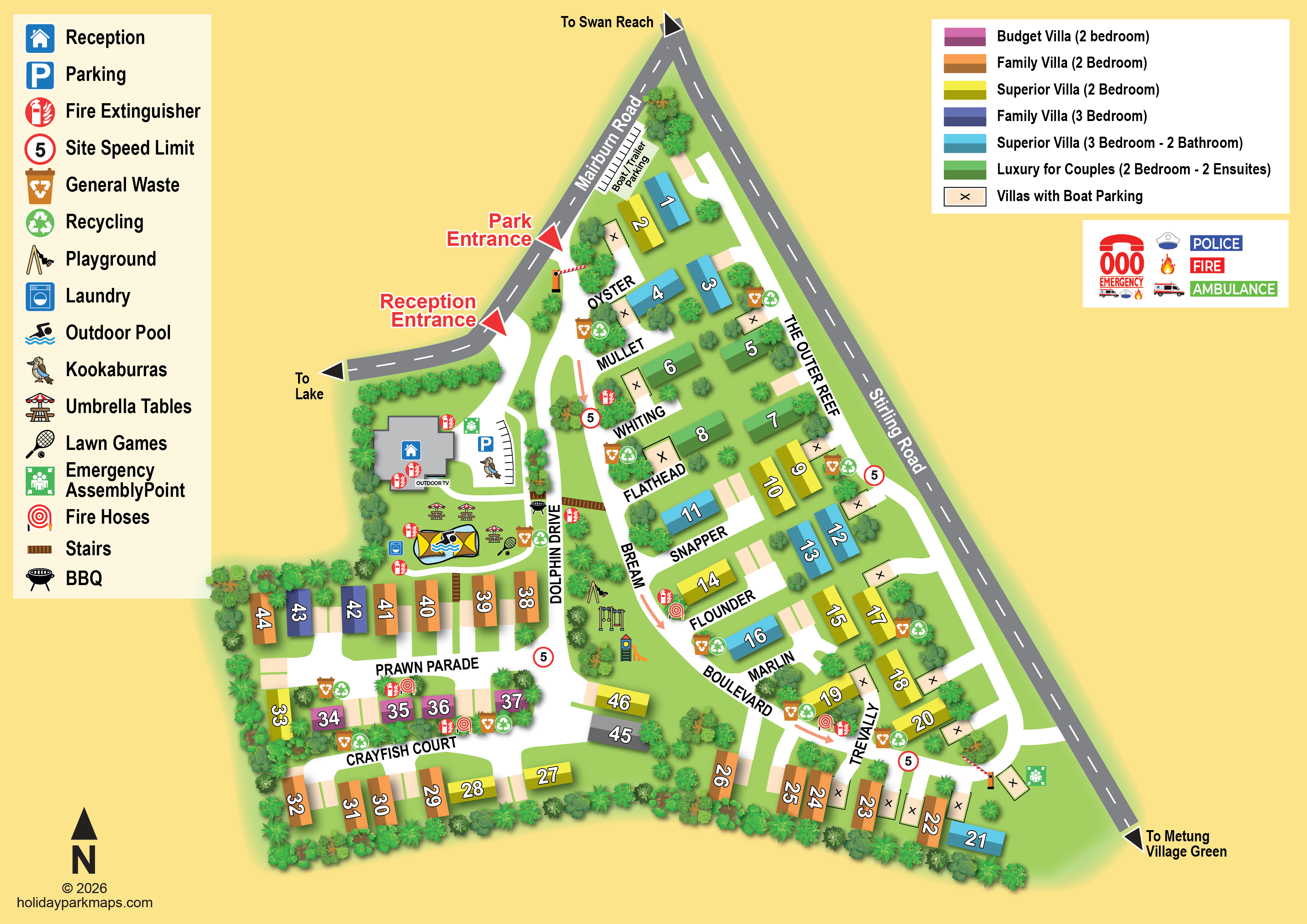
We make campsites, serviced sites, cabins, washrooms, activity areas and key routes easy for guests to find.
We use your brand colours, fonts and imagery to make your map fit seamlessly with your company.
Use your map for check-in, website info, printed leaflets & signs, planning permission and social media.
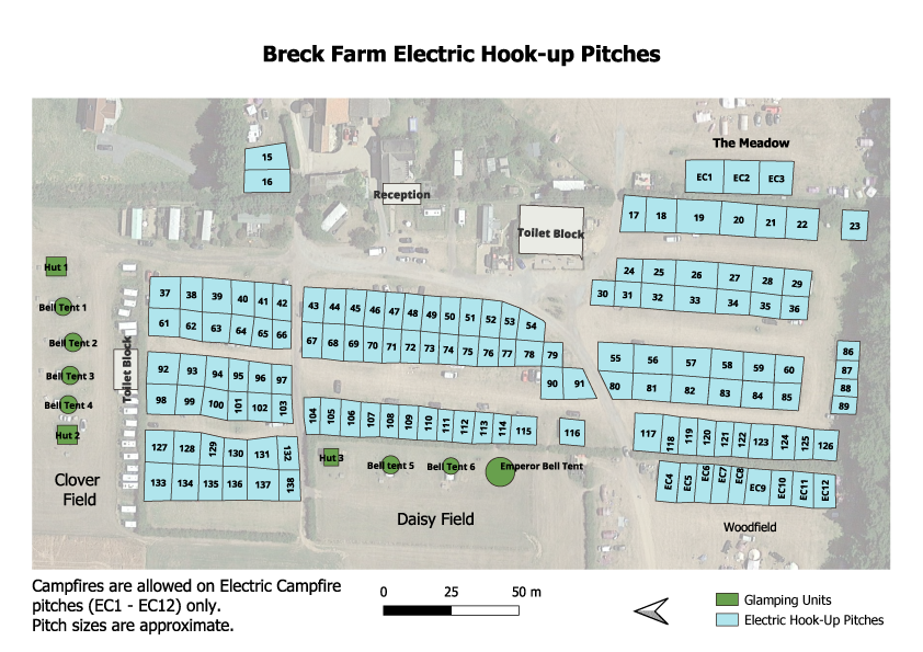
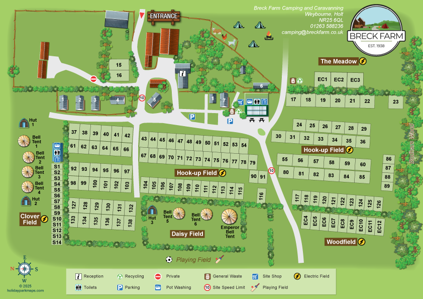
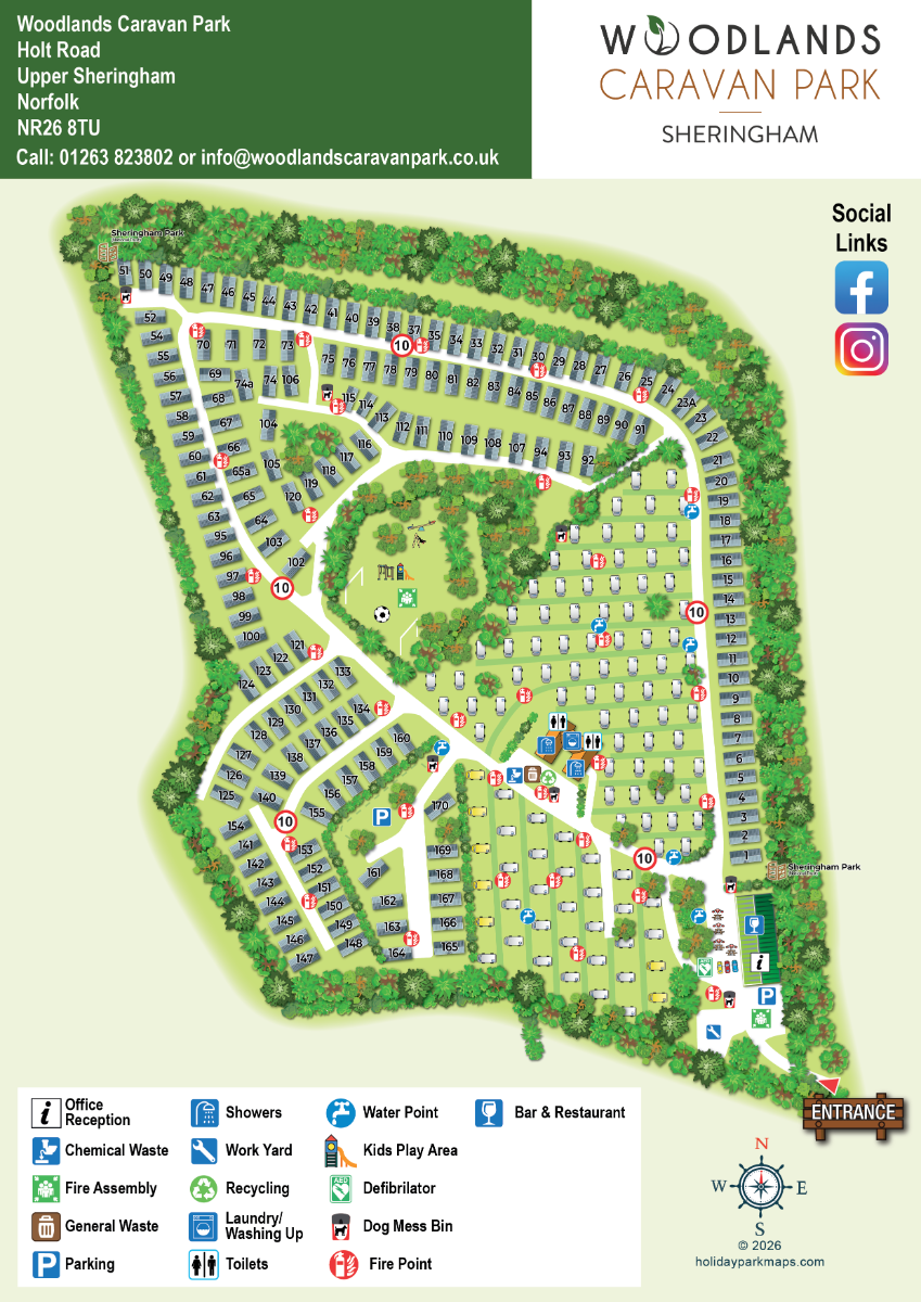
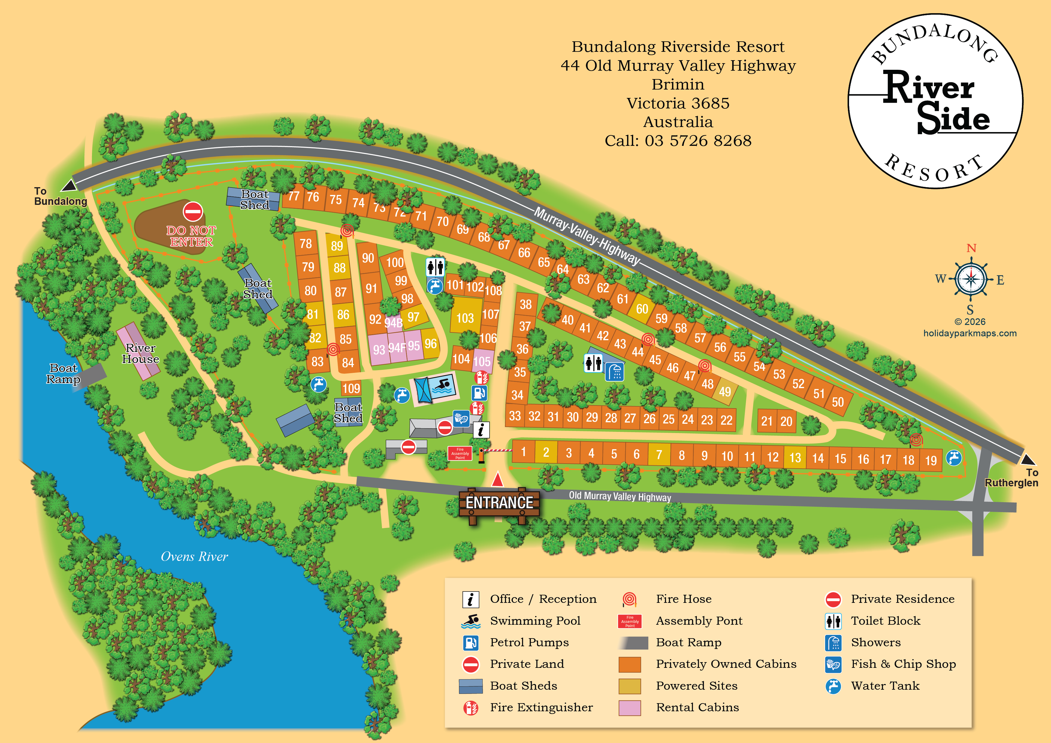
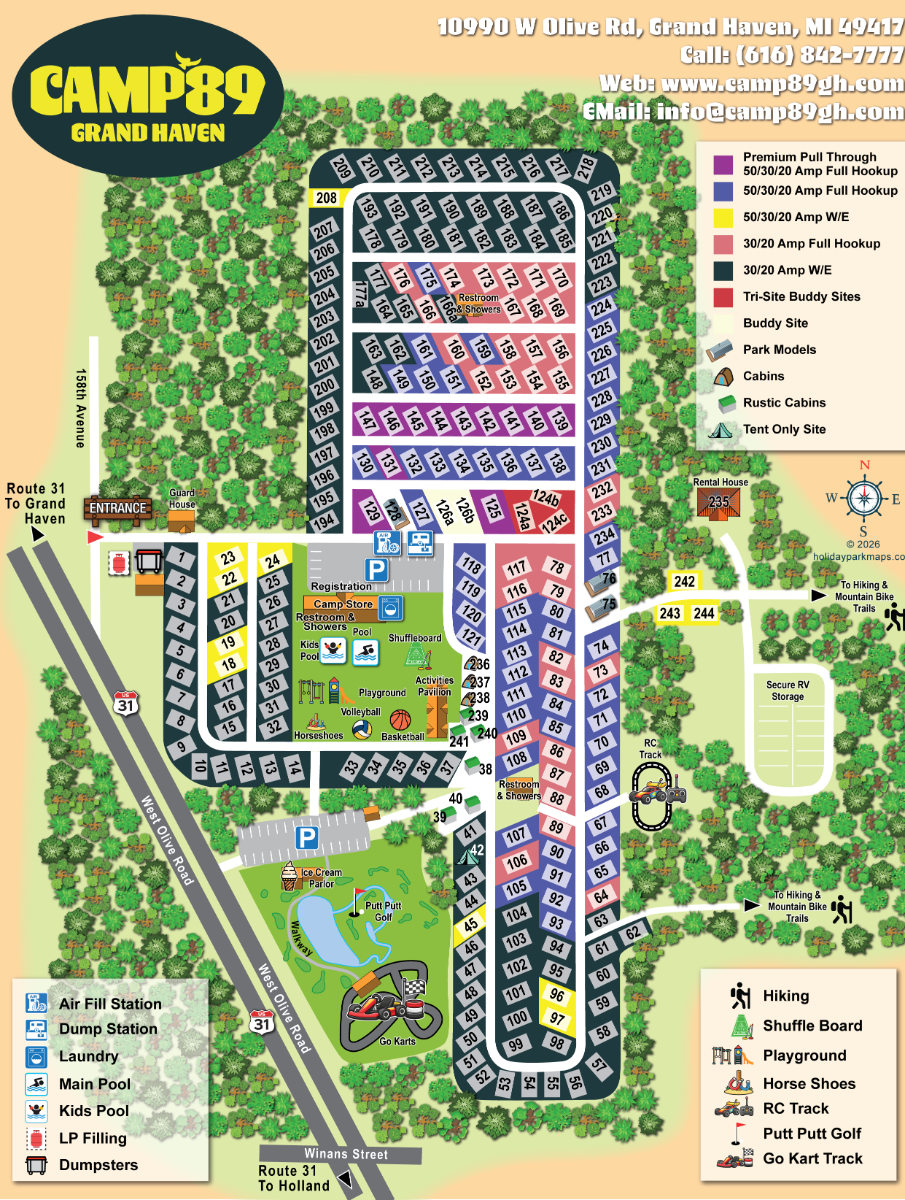
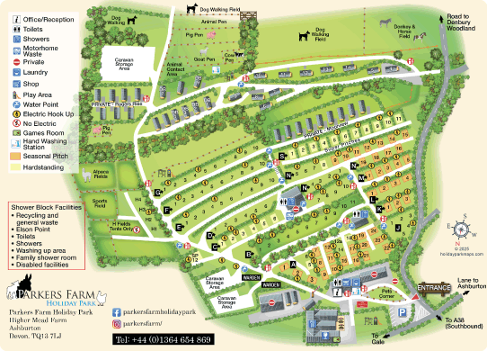
The same holiday park information becomes far easier to understand and far easier to navigate when it is turned into a professionally illustrated guest map.
“Did a fantastic map for our campsite and very quickly! Was happy to make changes until we were 100% satisfied. Very happy with the overall service.”
Sam WrinchCampground customer
“I’m based in Australia and was really impressed with the whole experience. Andrew worked around time zones and many small changes, and suggested ideas I wouldn’t have thought of.”
JaneAustralian customer
“Amazing customer service and quick turnaround. We are thrilled with our park map. I highly recommend GBMaps.”
CarleyPark map customer
“Working with Andrew at GB Maps was wonderful! Quick responses, great work and exactly what we needed for our campground at a very reasonable cost. No change was too small and he was polite and professional throughout.”
Brett P HolmesCampground customer
“I really enjoyed working with Andrew. His energy and enthusiasm made the process really straightforward and the results were exactly what I needed, even though I wasn't able to fully articulate what I wanted. Andrew ran with it and delivered brilliantly.”
David LennonCustomer review
“Perfect maps for my business. I only had a rough idea of what I wanted but Andrew understood the brief perfectly, delivered quickly and was happy to make amendments to get the map spot on. Highly recommend.”
Kim RobsonMap customer
Enter your email address and the park address. Add any useful project details if you have them, but additional comments are optional.
We use satellite imagery, hand drawn maps, visitor photos/videos and drone footage to get a complete understanding of your park.
We take around 3 days to create your first proof. This will be sent to you for review. We will then amend and review and amend your map as many times as needed until you're completely happy.
Once you're happy we will send you the final files. You can then use your map for print, digital and marketing purposes.
Guests can search the park, filter pitches and open photos, details and useful links on phones, tablets and computers. Explore the live demo below.
Still unsure what to send? That is completely normal. Start with whatever plan, screenshot or sketch you already have.
Ask us a questionYes. The entire design and proofing process is handled remotely, so we can work with campgrounds, RV parks and outdoor resorts in every Canadian province and territory.
We just need your address! A survey, site plan, aerial image, marked-up screenshot or even a clear hand sketch is helpful, but not essential. We will also ask for your logo, brand colours and the facilities you want shown.
The first proof typically take around 3 days. We then work through an amending process with you, which can take anywhere from an hour to a few days depending on what needs updating.
Yes. Each map is bespoke and can use your logo, colours, fonts and preferred illustration style so it feels consistent with the rest of your guest materials.
Yes. Revisions are included, and we keep refining the artwork with you until the map is accurate and you are happy with the result.
Yes. By default, all maps are created at A4. Upon request, we can prepare any size or shape you may need.