
Marked dog-friendly areas
Black dog silhouettes mark areas along the northern boundary and within the early-arrivals field.
ILLUSTRATED PARK MAP · P549
Newperran, Hendra Croft, Newquay · United Kingdom
 Enlarge the map ↗
A SENSE OF THE PLACE
Newperran Holiday Park is located at Rejerrah near Newquay in Cornwall. Rental accommodation sits within landscaped grounds with views across the surrounding countryside.
Published visitor information describes a swimming pool among the facilities. The page focuses on fixed holiday accommodation; historic camping or touring areas shown on the artwork should not be taken as evidence of current pitch availability.
LOOK CLOSER
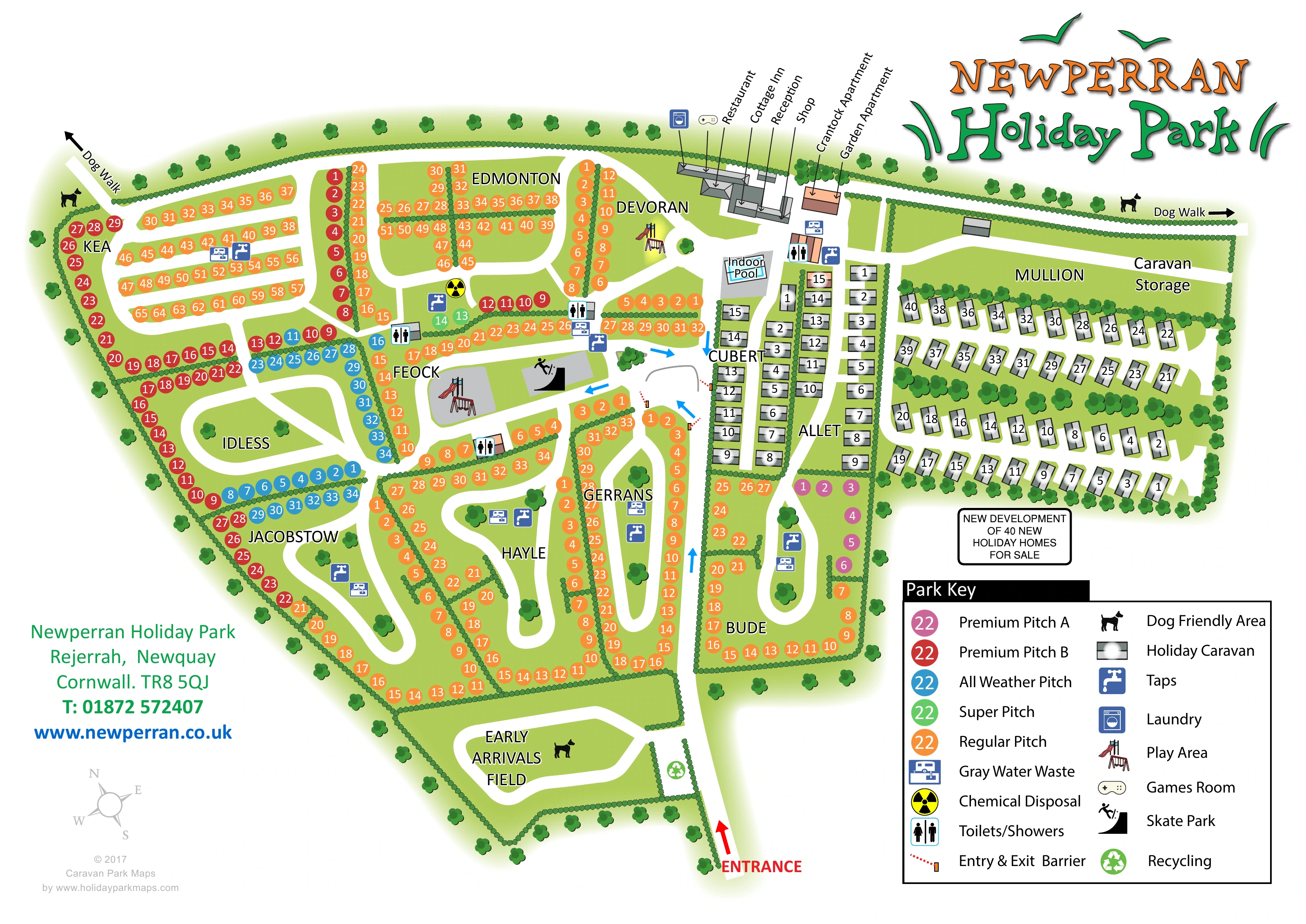
Black dog silhouettes mark areas along the northern boundary and within the early-arrivals field.
Continuous hedges separate sections and line the boundary; repeated trees punctuate grass islands and frame the eastern caravan rows.
A leader line identifies reception within the northern amenities complex.
The shop is labelled beside reception in the northern building group.
A restaurant is identified by a leader line above the northern buildings.
A separately named venue appears within the northern amenities cluster.
A labelled pool building sits immediately south of the main amenities, beside Cubert.
The games-controller symbol is positioned above the northern building complex.
A leader line identifies reception within the northern amenities complex.
The shop is labelled beside reception in the northern building group.
A restaurant is identified by a leader line above the northern buildings.
A separately named venue appears within the northern amenities cluster.
A labelled pool building sits immediately south of the main amenities, beside Cubert.
The games-controller symbol is positioned above the northern building complex.
A blue washing-machine symbol points to the northern amenities buildings.
Two illustrated slide-and-swing symbols appear near Devoran and in the central Feock recreation area.
A prominent black ramp-and-skater symbol occupies a grey recreation pad beside the central play area.
Repeated toilet/shower symbols serve the northern and central pitch areas.
Blue tap symbols are distributed through the accommodation sections.
Repeated blue disposal symbols mark service points across the pitch areas.
A yellow-and-black disposal symbol appears near the centre-left of the plan, below Edmonton.
A green recycling symbol is placed beside the entrance road and early-arrivals field.
A labelled strip lies along the northern edge of the eastern caravan area.
A separate looped field sits near the southern entrance, before the principal accommodation areas.
A red entrance arrow marks the southern approach. Dotted red barrier symbols and blue directional arrows appear at the central junction.
A white boundary route runs across the northern edge, with dog-walk labels and outward-pointing arrows at both ends.
Black dog silhouettes mark areas along the northern boundary and within the early-arrivals field.
Continuous hedges separate sections and line the boundary; repeated trees punctuate grass islands and frame the eastern caravan rows.
A boxed annotation below Mullion describes a new development of 40 holiday homes for sale.
READING THE MAP
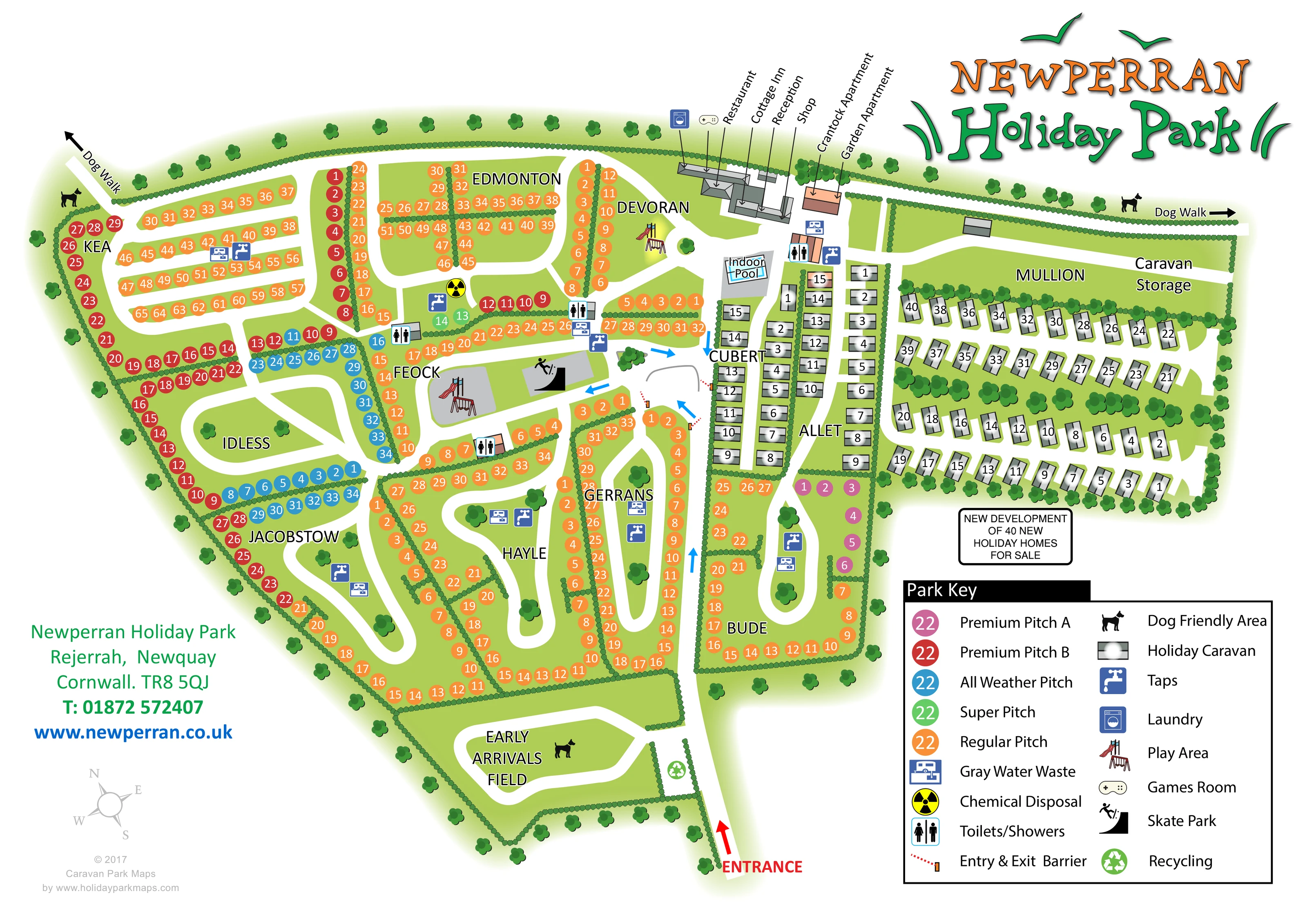
This illustrated map of Newperran Holiday Park near Newquay brings a large, varied accommodation layout into one readable plan. Its green, hedge-lined grounds contain extensive numbered pitch areas, a more regular block of holiday caravans to the east, and a cluster of visitor facilities along the northern boundary. Cornish place names identify the different sections, giving guests a useful intermediate reference between the whole park and their individual accommodation number.
The design uses five colours to distinguish pitch categories, while grey roof symbols separate the fixed caravans from the touring areas. Broad white roads guide the eye from the southern entrance, past the early-arrivals field, towards the central junction and amenities. The map also shows an indoor pool, restaurant, shop, play areas and an unusually prominent skate-park symbol. A dog walk follows the upper boundary.
Large decorative park lettering and a substantial two-column key frame the plan without obscuring its routes. This sample is particularly relevant to parks needing to explain several accommodation categories, named sections and distributed service points on a single visitor map.
The plan is arranged around a southern entrance road that leads past a dedicated early-arrivals field and a recycling point. At the central junction, blue directional arrows and red dotted barrier symbols clarify the illustrated traffic arrangement. From here, white roads branch into a mixture of loops, long rows and curved perimeter routes.
Most of the western and southern accommodation is shown as numbered pitch circles. Orange regular pitches dominate, with red and pink premium pitches, blue all-weather pitches and a small green super-pitch group providing clear visual distinctions. Large section labels include Kea, Edmonton, Devoran, Feock, Idless, Jacobstow, Hayle, Gerrans and Bude. Hedges separate neighbouring rows and sections, while tree symbols occupy grass islands and perimeter planting.
On the eastern side, Cubert and Allet contain compact rows of grey holiday-caravan symbols. Mullion extends across a larger, tree-lined block. A boxed notice below this area describes a new holiday-home development, and caravan storage is labelled along its northern edge.
The principal building cluster sits near the top of the map. Angled leader lines identify the restaurant, Cottage Inn, reception, shop, Crantock Apartment and Garden Apartment. Games-room and laundry symbols accompany this cluster, with the indoor pool immediately below. Two play-area illustrations and a central skate-park graphic distinguish the recreation spaces. Toilets and showers, taps and grey-water points recur around the pitch sections; chemical disposal has its own contrasting symbol.
A dog-walk route runs along the northern boundary. The lower-right key explains accommodation colours and amenities, while contact details and a compass occupy the lower-left margin. The accompanying detail view enlarges the same artwork and key rather than presenting a separate park section.
KEEP EXPLORING
Chosen for shared landscapes, accommodation or facilities.
 Explore the map ↗
United Kingdom
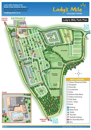
Portrait park plan with named fields, numbered accommodation, beach directions and an enlarged leisure-complex inset.
 Explore the map ↗
United Kingdom
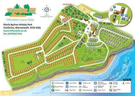
Coastal park plan with mixed accommodation, bird-themed pitch areas and an enlarged facilities inset.
 Explore the map ↗
United Kingdom
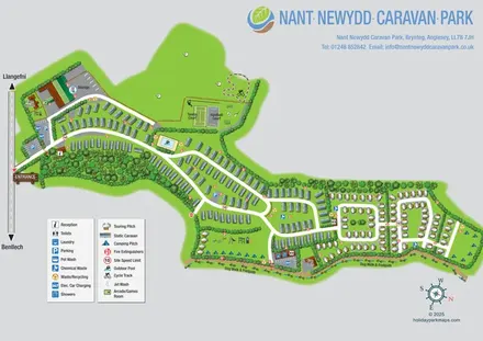
Illustrated Anglesey park map with static caravans, touring loops, camping, sports courts and a perimeter dog walk.
Features may come from the sample artwork, its key or published park information. Approximate numbers describe the drawing and may cover only part of a park. They are intended to help you compare map examples. Current facilities and booking information should be checked with the park.
TAKE A CLOSER LOOK
View the illustrated map in detail or choose a file to download. These are sample maps; contact the park for current visitor information.


LET’S MAP YOUR PARK
For a map quotation, find your park and draw a rough boundary around it. The area you select helps us work out the design time and price.
Draw your park for a quote ↗Or talk to our map designers
01751 473136
 newperran_large.png