
Sandy beach and coastal water
A broad golden beach and turquoise water occupy the upper edge, with a softly illustrated white surf line.
ILLUSTRATED PARK MAP · P280
Melmore Road, Downings, Letterkenny, Co. Donegal · Ireland
 Enlarge the map ↗
A SENSE OF THE PLACE
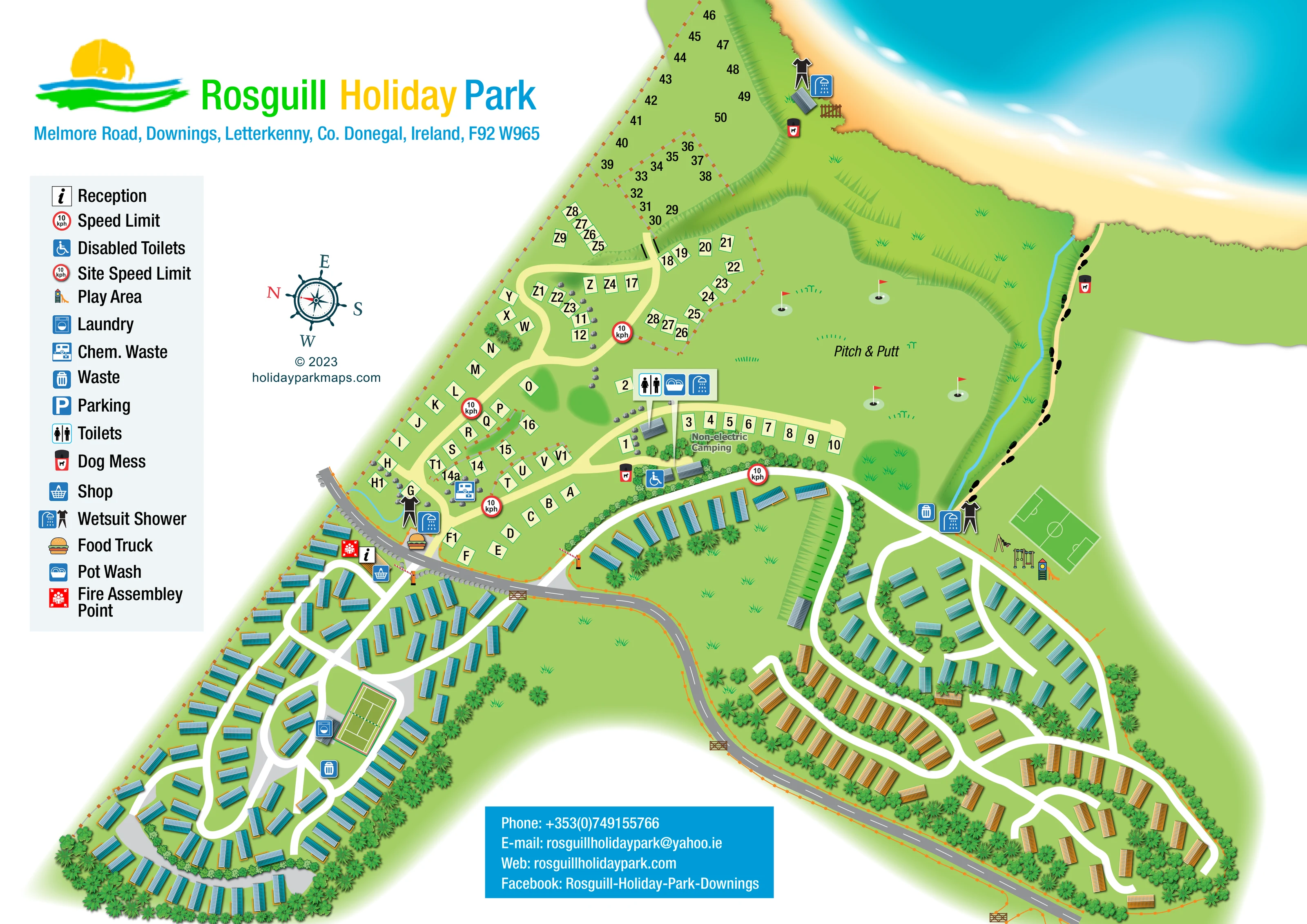
Rosguill Holiday Park is a family-run caravan and camping park on the Rosguill peninsula in County Donegal. Pitches look towards Mulroy Bay and the surrounding coastal landscape.
Touring vehicles and tents are welcomed alongside static mobile homes. Showers, laundry and a coffee and ice-cream shop support stays, while nearby beaches and hillwalking routes provide opportunities to explore the Wild Atlantic Way setting.
LOOK CLOSER
A broad golden beach and turquoise water occupy the upper edge, with a softly illustrated white surf line.
Shaded slopes and repeated triangular grass marks separate the coastal pitches, pitch-and-putt green and shoreline.
A thin blue watercourse runs beside the beach path and meets the shore.
Dense illustrated planting borders the mobile-home neighbourhoods, divides groups of units and frames open grass.
An information symbol identifies reception beside the main road and the entrance to the left-hand mobile-home neighbourhood.
A shopping-basket symbol marks the shop alongside reception.
A burger illustration marks a food-truck location across the road from reception, beside the visitor pitches.
A central facility callout groups toilet, washing-up and shower symbols above small grey-roofed buildings beside the non-electric camping area.
An information symbol identifies reception beside the main road and the entrance to the left-hand mobile-home neighbourhood.
A shopping-basket symbol marks the shop alongside reception.
A burger illustration marks a food-truck location across the road from reception, beside the visitor pitches.
A central facility callout groups toilet, washing-up and shower symbols above small grey-roofed buildings beside the non-electric camping area.
A wheelchair symbol marks a toilet facility near the boundary between visitor pitches and the central mobile-home area; the legend calls this Disabled Toilets.
A washing-machine symbol identifies a laundry building beside the tennis court in the left-hand neighbourhood.
A chemical-waste symbol appears within the visitor-pitch area near the main road.
Waste-bin and dog-waste symbols are distributed around accommodation areas, the beach approach and the coastal route.
Paired wetsuit and shower symbols appear near the road-side visitor facilities, at the upper beach edge and beside the lower beach approach.
A large central green is labelled Pitch & Putt and illustrated with flagsticks and putting holes.
Swings, climbing equipment and a slide are drawn beside the right-hand accommodation area and football pitch.
A green rectangular pitch with football markings sits beside the play equipment.
A marked court with a net forms a recognisable landmark within the left-hand mobile-home loops.
A red assembly-point symbol is placed beside reception.
Parking is included in the legend, but a corresponding marked location is not clearly identifiable on the plan.
A broad golden beach and turquoise water occupy the upper edge, with a softly illustrated white surf line.
Shaded slopes and repeated triangular grass marks separate the coastal pitches, pitch-and-putt green and shoreline.
A thin blue watercourse runs beside the beach path and meets the shore.
Dense illustrated planting borders the mobile-home neighbourhoods, divides groups of units and frames open grass.
A pale route with black footprint symbols follows the watercourse from the right-hand facilities towards the sand.
A grey road curves across and down the plan. White accommodation lanes and pale-yellow visitor-pitch routes branch from it, with illustrated gates and lifting barriers at selected junctions.
Red-bordered 10 kph symbols punctuate several internal routes. These are features of the artwork rather than a statement of current operating rules.
READING THE MAP
This illustrated map of Rosguill Holiday Park places its County Donegal coastal setting at the heart of the visitor experience. A wide sandy beach and turquoise water run across the upper edge, while mobile-home neighbourhoods, visitor pitches and recreation areas spread inland around a curving road. The artwork gives a clear sense of how a substantial mixed caravan and camping park fits together without reducing it to a grid of plots.
The map shows reception and the shop beside a main junction, with a food-truck symbol nearby. Toilets, washing-up facilities, laundry and wetsuit showers are identified through a consistent pictogram system. A central pitch-and-putt green, a tennis court, a football pitch and children's play equipment make the leisure spaces easy to recognise.
Bright green landscape shading, planted boundaries and individually illustrated mobile homes give the plan its character. Lettered and numbered pitches provide practical references, while a footprint-marked path leads towards the beach. The large legend and colourful park header balance the detailed site drawing with an accessible, visitor-focused page layout.
The single landscape-format artwork presents Rosguill Holiday Park as a series of connected accommodation areas between a curving road and the coast. Two substantial mobile-home neighbourhoods occupy the lower left and lower right. Their white lanes form loops and branching routes, with units arranged around planted boundaries and open grass. Blue and ochre ribbed roofs add variation to the repeated home illustrations, but the map does not assign those colours to named accommodation types.
Above the road, pale-yellow lanes connect lettered and numbered visitor pitches. Further pitches extend towards the upper coastal bank, while a short row near the central service buildings is explicitly labelled Non-electric Camping. A large pitch-and-putt green occupies the space between these pitches and the beach, using flagsticks and small putting-hole illustrations to explain its purpose.
Reception, the shop and a red fire assembly symbol sit close together at the left-hand road junction. Across the road are the food-truck and wetsuit-shower symbols, with chemical waste disposal marked among the visitor pitches. A central callout identifies toilets, pot wash and showers; a separate wheelchair symbol identifies the accessible toilet facility. Laundry is marked beside the tennis court, and waste and dog-waste points appear in several areas.
On the right, a football pitch and illustrated play equipment sit beside the accommodation lanes. A footprint-marked path follows a narrow blue watercourse towards the sand, passing another wetsuit-shower symbol. Soft gradients give the sea, surf and grassy banks depth. The left-hand legend, nautical compass, colourful header and lower contact panel complete the composition; the enlarged detail views show portions of this same plan rather than additional variants.
KEEP EXPLORING
Chosen for shared landscapes, accommodation or facilities.
 Explore the map ↗
Ireland
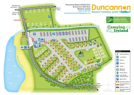
Beachside park plan with colour-coded mobile homes, touring/camping areas, glamping cabins and grouped service symbols.
 Explore the map ↗
United Kingdom
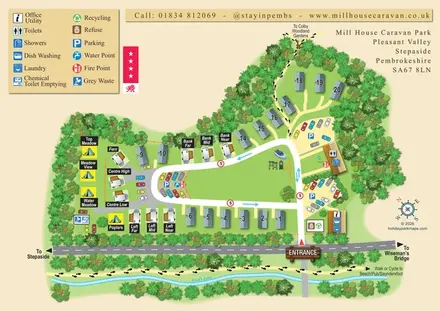
A tree-framed mixed-accommodation park map with a central green, service icons and coastal walking connections.
 Explore the map ↗
United Kingdom
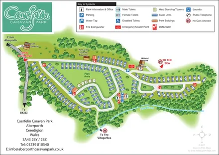
Woodland-framed caravan park plan with numbered and lettered units, a central play area and routes towards Aberporth’s village and sea.
Features may come from the sample artwork, its key or published park information. Approximate numbers describe the drawing and may cover only part of a park. They are intended to help you compare map examples. Current facilities and booking information should be checked with the park.
LET’S MAP YOUR PARK
For a map quotation, find your park and draw a rough boundary around it. The area you select helps us work out the design time and price.
Draw your park for a quote ↗Or talk to our map designers
01751 473136