
Stanhope Burn
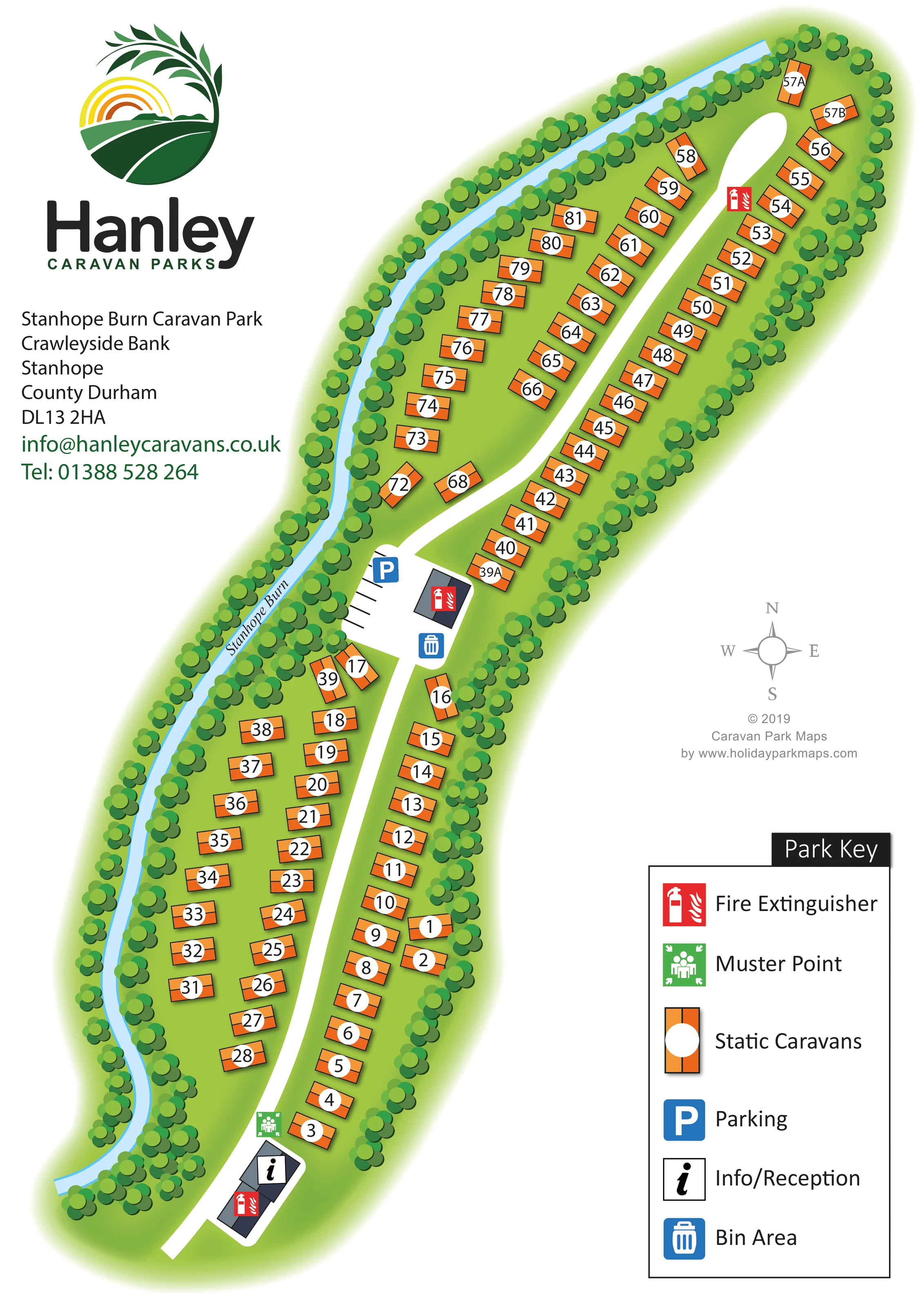
The named pale-blue watercourse follows the left side of the elongated site, bending alongside the accommodation and trees.
ILLUSTRATED PARK MAP · P605
Stanhope Burn Caravan Park, Crawleyside Bank, Stanhope, County Durham · United Kingdom
 Enlarge the map ↗
A SENSE OF THE PLACE
Stanhope Burn Caravan Park offers privately owned holiday homes in a sheltered wooded setting at Stanhope in County Durham. A stream and views towards the North Pennines give the park its countryside character.
The nearby village provides shops and other amenities, while Weardale offers routes for walking and exploring. The map shows the holiday home layout and internal access through the grounds.
LOOK CLOSER
The named pale-blue watercourse follows the left side of the elongated site, bending alongside the accommodation and trees.
Dense bands of stylised trees frame the park boundary and both sides of much of the burn.
An information symbol identifies the grey building group beside the entrance at the lower end of the plan.
A blue parking symbol and drawn bay lines mark a widened area around the middle of the park.
A blue bin symbol appears beside the central parking and service area.
Red fire-extinguisher symbols are distributed between the entrance buildings, central service area and upper accommodation section.
A green muster-point symbol is shown near reception at the lower end of the internal road.
A white access road enters beside reception, passes the central service area and continues through the upper accommodation rows to a rounded end.
An information symbol identifies the grey building group beside the entrance at the lower end of the plan.
A blue parking symbol and drawn bay lines mark a widened area around the middle of the park.
A blue bin symbol appears beside the central parking and service area.
Red fire-extinguisher symbols are distributed between the entrance buildings, central service area and upper accommodation section.
A green muster-point symbol is shown near reception at the lower end of the internal road.
The named pale-blue watercourse follows the left side of the elongated site, bending alongside the accommodation and trees.
Dense bands of stylised trees frame the park boundary and both sides of much of the burn.
A white access road enters beside reception, passes the central service area and continues through the upper accommodation rows to a rounded end.
READING THE MAP
This illustrated map of Stanhope Burn Caravan Park presents a long, wooded holiday-home site at Stanhope in County Durham. The plan follows the shape of the grounds, with the named burn running along one side and rows of orange static caravans arranged beside a gently curving internal road. Bands of green trees give the artwork its sheltered countryside character without obscuring the accommodation numbers or access route.
The entrance sits at the lower end of the page, where reception and a muster point provide clear arrival landmarks. Further into the park, a widened parking and service area creates a useful visual break between the lower and upper accommodation sections. A concise key identifies the practical facilities and emergency symbols used throughout the plan.
Large Hanley Caravan Parks branding, a contact block and a simple compass sit in the surrounding white space. The result is a portrait-format visitor map that combines individual holiday-home identification with a strong impression of the park's stream-side setting.
The artwork uses a top-down view of a narrow site extending diagonally from the bottom left towards the top right. Stanhope Burn is drawn as a pale-blue ribbon along the left-hand boundary, with its name placed directly beside the watercourse. Dense groups of rounded tree symbols line the stream and the outer edge of the park, while bright green ground colour connects the accommodation areas.
A broad white road enters beside the grey reception buildings at the lower end. It runs between staggered caravan rows, opens into a central parking and service area, then bends through the upper section towards a rounded termination. Parking bay lines, a blue parking icon and a bin-area symbol distinguish the central node from the surrounding holiday homes. Red fire-extinguisher markers appear at several points along the site, and a green muster-point icon sits near reception.
The caravans are represented by orange rectangles with contrasting panels and subtle shadows. Each carries a large white circular badge with a black plot number, making individual locations more prominent than minor landscape detail. The changing angles of the symbols reflect the curved site layout rather than imposing a rigid grid.
The page reserves substantial white space for the Hanley Caravan Parks identity and contact details at upper left. A grey compass and designer credit occupy the right-hand side, with the six-entry Park Key below. The accompanying detail view enlarges this same legend and compass area; it is not a separate map or additional accommodation section.
KEEP EXPLORING
Chosen for shared landscapes, accommodation or facilities.
 Explore the map ↗
United Kingdom
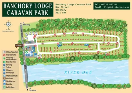
A tree-framed riverside park map with numbered caravans, linked road loops and a compact entrance facilities key.
 Explore the map ↗
United Kingdom
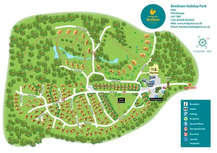
A woodland holiday-park plan with numbered homes, tree-named roads, walking loops and a distinctive entrance totem pole.
 Explore the map ↗
United Kingdom
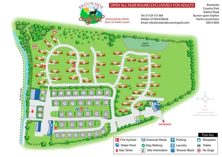
Tree-framed park plan combining touring rows, holiday homes, a brook and a wildlife enclosure.
Features may come from the sample artwork, its key or published park information. Approximate numbers describe the drawing and may cover only part of a park. They are intended to help you compare map examples. Current facilities and booking information should be checked with the park.
LET’S MAP YOUR PARK
For a map quotation, find your park and draw a rough boundary around it. The area you select helps us work out the design time and price.
Draw your park for a quote ↗Or talk to our map designers
01751 473136