
Tamar Cottage private garden
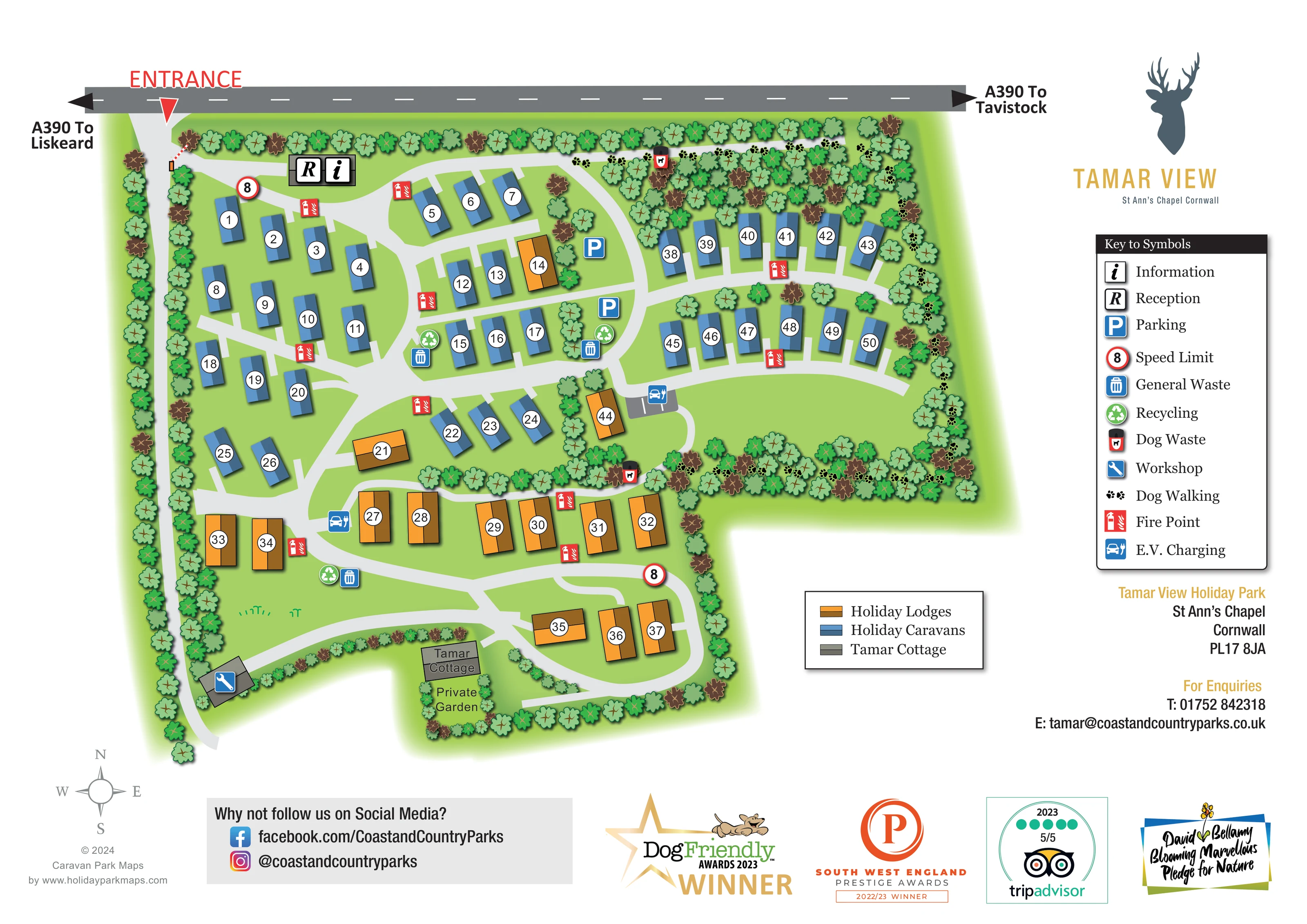
A labelled private garden lies immediately south of Tamar Cottage, enclosed by illustrated planting.
ILLUSTRATED PARK MAP · P325
Tamar View Holiday Park, St Ann’s Chapel, Cornwall · United Kingdom
 Enlarge the map ↗
A SENSE OF THE PLACE
Tamar View Holiday Park is set at St Ann's Chapel in Cornwall, overlooking the Tamar Valley. Lodges and cottages provide accommodation in a location close to both countryside and coastal outings.
Selected accommodation includes hot tubs or welcomes pets. Walking routes and the River Tamar add outdoor possibilities, while the map shows how the holiday accommodation sits within the park.
LOOK CLOSER
A labelled private garden lies immediately south of Tamar Cottage, enclosed by illustrated planting.
Dense tree symbols frame the perimeter and divide accommodation groups; broad green spaces remain between roads, particularly in the east.
Paired reception and information symbols sit immediately inside the northern entrance.
Blue parking symbols mark two locations around the central and north-eastern road junctions.
Charging symbols appear beside a small grey bay area in the centre-right and beside the southern lodge roads.
Paired general waste and recycling symbols are distributed around the central accommodation and southern road network.
Dog waste symbols are positioned beside the northern and lower edges of the eastern walking area.
Black pawprints trace a route through the tree-lined northern, eastern and southern edges of the eastern accommodation area.
Paired reception and information symbols sit immediately inside the northern entrance.
Blue parking symbols mark two locations around the central and north-eastern road junctions.
Charging symbols appear beside a small grey bay area in the centre-right and beside the southern lodge roads.
Paired general waste and recycling symbols are distributed around the central accommodation and southern road network.
Dog waste symbols are positioned beside the northern and lower edges of the eastern walking area.
Black pawprints trace a route through the tree-lined northern, eastern and southern edges of the eastern accommodation area.
Red fire-point symbols are repeated beside accommodation rows throughout the park.
A blue spanner symbol identifies a separate grey workshop building near the south-western boundary.
A labelled private garden lies immediately south of Tamar Cottage, enclosed by illustrated planting.
Dense tree symbols frame the perimeter and divide accommodation groups; broad green spaces remain between roads, particularly in the east.
The main entrance is marked from the A390 along the top of the plan, with arrows towards Liskeard to the left and Tavistock to the right.
Pale-grey roads branch from the entrance into curved accommodation lanes, an eastern loop and a southern lodge loop.
Red-ringed signs displaying 8 appear near arrival and on the southern loop; the legend identifies them as speed-limit symbols.
The supplied park information places Tamar View at St Ann’s Chapel overlooking the Tamar Valley. The valley and River Tamar are not drawn on this site plan.
READING THE MAP
This illustrated map presents Tamar View Holiday Park at St Ann’s Chapel in Cornwall as a compact, tree-framed network of holiday caravans, lodges and a separate cottage. The park’s Tamar Valley setting provides the wider context, while the artwork concentrates on the practical details of arriving and finding accommodation within the site.
The A390 runs across the top of the page, with clear directions towards Liskeard and Tavistock and a prominent entrance marker. Inside the park, pale-grey lanes connect blue caravan groups and orange lodges, with numbered units making the different rows easy to distinguish. Tamar Cottage has its own labelled private garden near the southern boundary.
The map also brings together reception, parking, electric vehicle charging, waste and recycling points, fire points and a workshop. Pawprints identify a dog walking route around the eastern tree belt. A dedicated right-hand column carries the park’s stag-head branding, the facility key and contact information, while a separate accommodation key explains the building colours. The result is a site-focused visitor map with a clear distinction between accommodation, routes and supporting facilities.
The plan is organised around a northern entrance from the A390, with reception and information marked immediately inside. From here, the internal roads branch into curved lanes serving the western caravan rows, the central accommodation and an eastern extension. Two arcs of blue caravans sit within the eastern section, bordered by dense illustrated trees and a substantial green space below them.
Orange lodges are mainly grouped in the southern half, where the roads form a smaller loop and connect back towards the central junctions. A few lodges appear within the otherwise blue accommodation areas, so the colour key is useful beyond simply dividing the site into zones. Each unit carries a white circular number label. Near the lower boundary, the grey Tamar Cottage is named directly, with its private garden shown beneath it. A separate workshop occupies the south-western corner.
Operational symbols are placed alongside the road network. Parking appears near the central and north-eastern junctions, and electric vehicle charging is marked both in the centre-right and beside the southern lodge area. Waste and recycling points are grouped at several locations, while red fire-point symbols are spread throughout the accommodation. Dog waste points accompany the pawprint-marked walking route through the northern, eastern and lower tree belts.
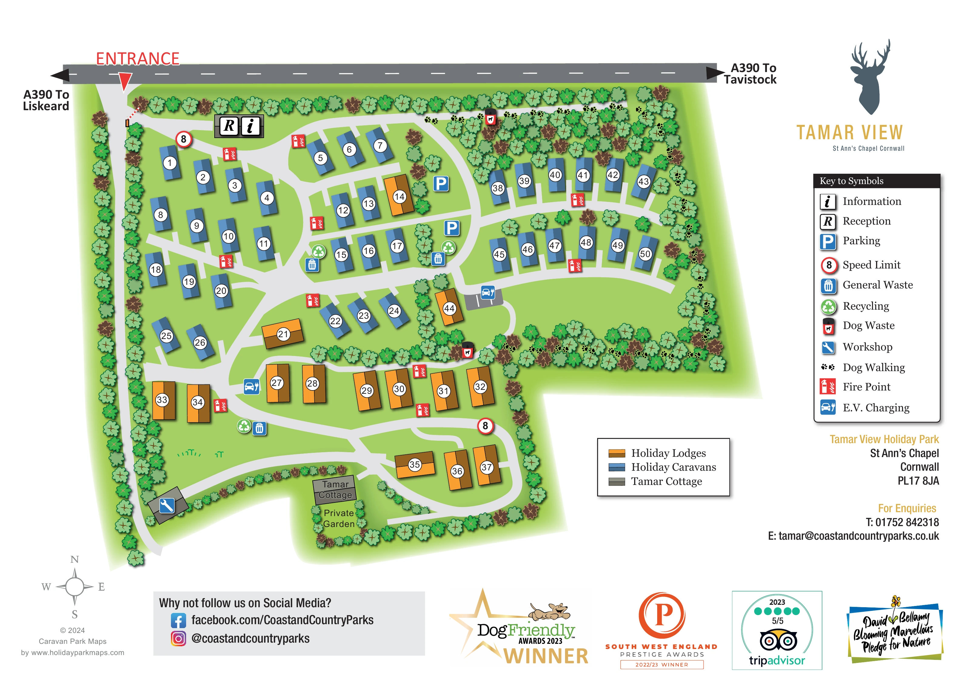
The artwork uses a flat overhead viewpoint, two-tone accommodation roofs and soft shadows. Varied green and brown tree canopies provide texture without competing with the route network. A tall facility legend and smaller accommodation legend sit on the white right-hand side, below the stag-head identity. A compass and branded footer complete the single-page composition; the enlarged detail view repeats part of this same artwork rather than showing another park section.
KEEP EXPLORING
Chosen for shared landscapes, accommodation or facilities.
 Explore the map ↗
United Kingdom
Woodland-framed Barnsoul map with mixed accommodation, shared facilities and paw-marked walking routes.
 Explore the map ↗
United Kingdom
A wooded, streamside park map with a linked farm, café, touring and cottage area.
 Explore the map ↗
United Kingdom
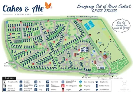
Branded Suffolk park plan with holiday homes, touring loops, recreation grounds and airfield heritage landmarks.
Features may come from the sample artwork, its key or published park information. Approximate numbers describe the drawing and may cover only part of a park. They are intended to help you compare map examples. Current facilities and booking information should be checked with the park.
TAKE A CLOSER LOOK
View the illustrated map in detail or choose a file to download. These are sample maps; contact the park for current visitor information.


LET’S MAP YOUR PARK
For a map quotation, find your park and draw a rough boundary around it. The area you select helps us work out the design time and price.
Draw your park for a quote ↗Or talk to our map designers
01751 473136
 tamar_large.png