
 Explore the map ↗
United Kingdom
Glenfield Caravan Park
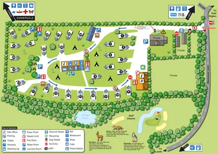
Numbered touring pitches, central amenities and wildlife illustrations in a tree-lined countryside site map.
ILLUSTRATED PARK MAP COLLECTION
Explore illustrated maps of Glenfield Caravan Park, Homing Park, Inverbeg Holiday Park and Island Meadow Caravan Park. Compare the layouts, landscape and facilities, and discover each park in more detail.
← Browse map collectionsExplore the map ↗United Kingdom
Numbered touring pitches, central amenities and wildlife illustrations in a tree-lined countryside site map.
 Explore the map ↗
United Kingdom
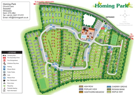
Colour-coded Homing Park map with six holiday-home neighbourhoods, a touring loop and an illustrated leisure hub.
 Explore the map ↗
United Kingdom
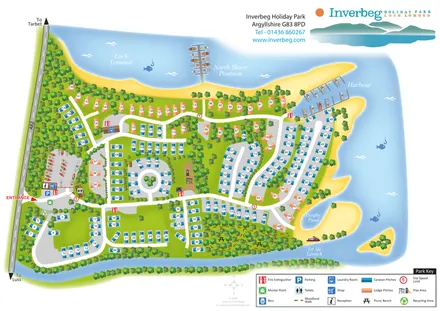
Colour-coded caravan and lodge pitches beside Loch Lomond, with woodland routes, a harbour and North Shore Pontoon.
 Explore the map ↗
United Kingdom
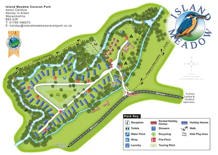
Riverside island park map with colour-coded holiday homes, a central touring loop and footprint-marked village paths.
LET’S MAP YOUR PARK
For a map quotation, find your park and draw a rough boundary around it. The area you select helps us work out the design time and price.
Draw your park for a quote ↗Or talk to our map designers
01751 473136