
Tree and shrub boundary
Dense rows of varied tree and shrub symbols frame the grassy enclosure and separate it visually from the adjacent roads.
ILLUSTRATED PARK MAP · P068
Carr’s Hill, Denny, Stirlingshire · United Kingdom
 Enlarge the map ↗
A SENSE OF THE PLACE
Carr's Hill is based at Carr’s Hill, Denny, Stirlingshire. The touring area comprises five club certificated-location pitches and five adjoining private pitches.
Touring pitches are hardstanding, with electricity and individual water supplies. Safari tents are off-grid; mains-powered appliances are available in a shared bothy. Two safari tents, Hazel and Jennifer, have private washing facilities, cooking provision and a log stove.
LOOK CLOSER
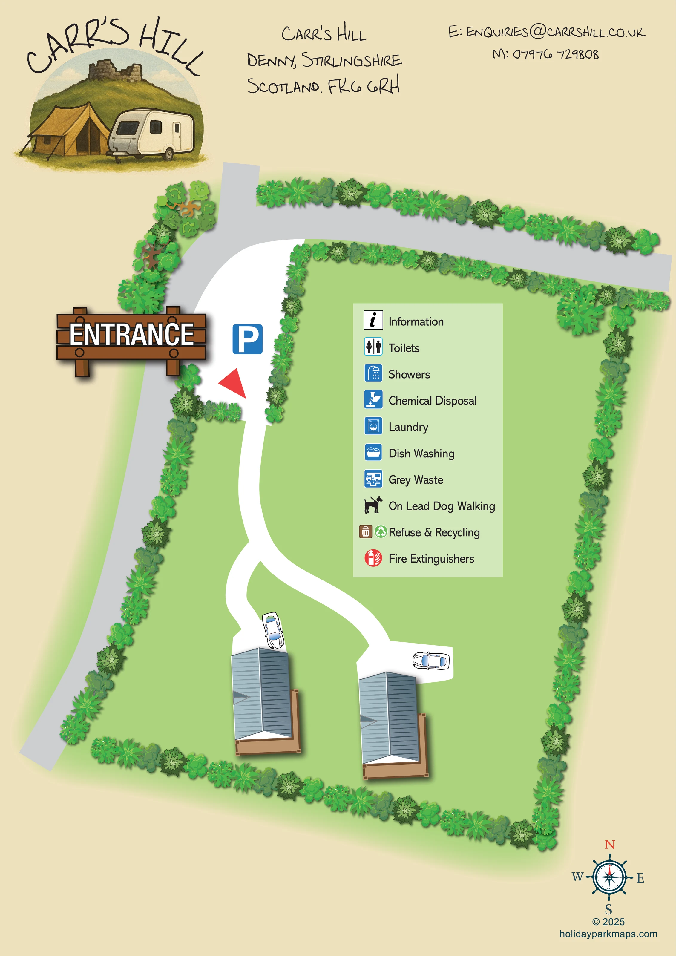
Dense rows of varied tree and shrub symbols frame the grassy enclosure and separate it visually from the adjacent roads.
A broad light-green interior gives the accommodation a spacious setting; it is not labelled as a camping field.
A large timber-style ENTRANCE sign identifies the arrival area on the left side of the plan.
A blue P symbol marks the widened white arrival area beside the entrance.
A curving white route leads from the entrance and divides into separate approaches to the two accommodation structures.
Broad grey road strips follow the upper and left edges of the illustrated enclosure.
Both accommodation illustrations have brown decking and a car on the adjoining white access area.
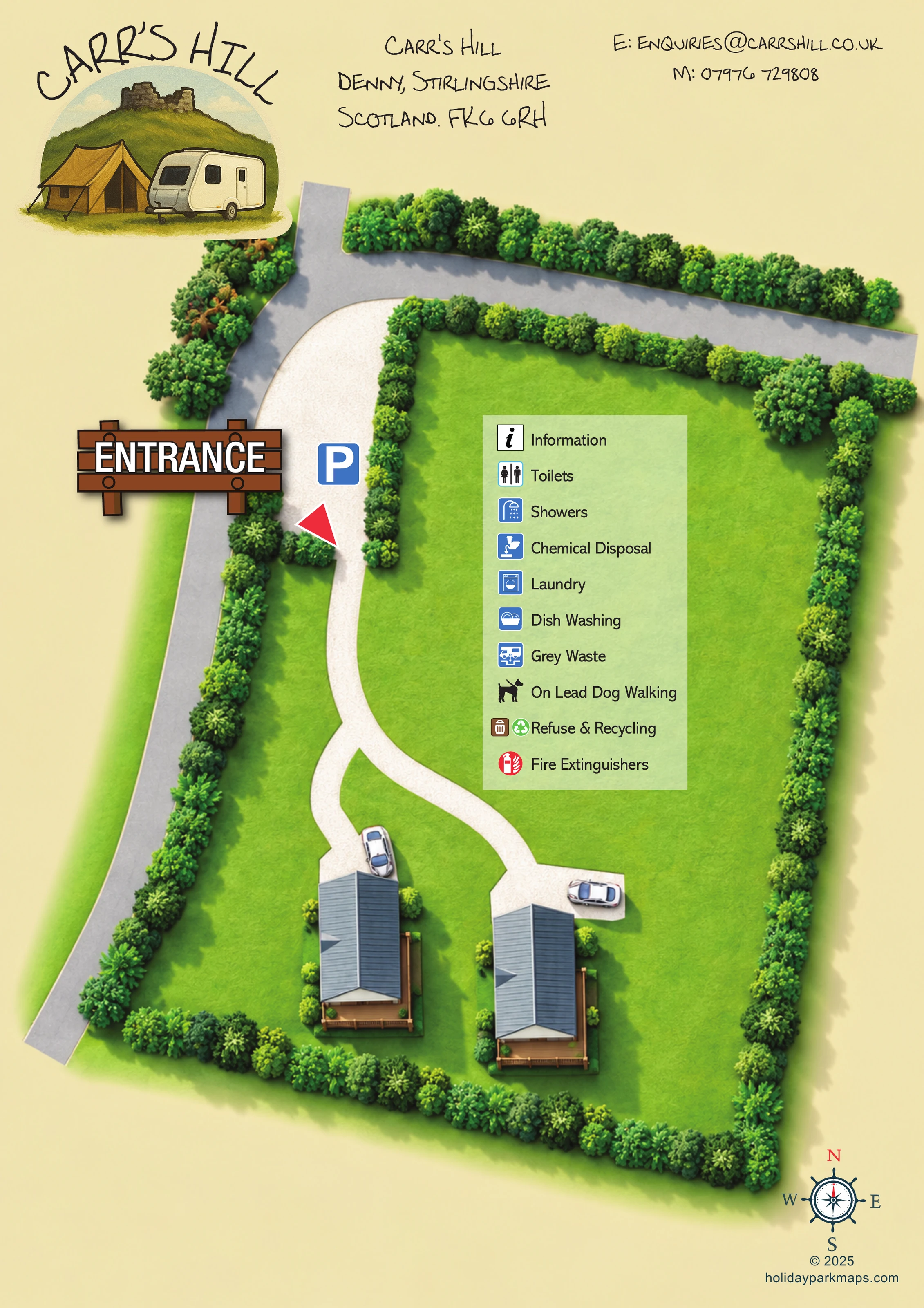
A large timber-style ENTRANCE sign identifies the arrival area on the left side of the plan.
A blue P symbol marks the widened white arrival area beside the entrance.
A curving white route leads from the entrance and divides into separate approaches to the two accommodation structures.
Broad grey road strips follow the upper and left edges of the illustrated enclosure.
Dense rows of varied tree and shrub symbols frame the grassy enclosure and separate it visually from the adjacent roads.
A broad light-green interior gives the accommodation a spacious setting; it is not labelled as a camping field.
Both accommodation illustrations have brown decking and a car on the adjoining white access area.
An information symbol appears in the central key, without a separately marked location.
Separate toilet and shower entries appear in the key; no corresponding facility location is marked elsewhere on the plan.
Both disposal services are listed with blue pictograms in the key, but their positions are not plotted.
Laundry and dish-washing symbols are included in the central key, without mapped locations.
The key includes this wording beside a dog pictogram. No dog-walking route or area is identified on the plan.
Paired refuse and recycling symbols appear in the key; collection-point locations are not shown.
A red fire-extinguisher symbol appears in the key, without a separately plotted position.
READING THE MAP
This Carr's Hill map presents a compact accommodation enclosure in Denny, Stirlingshire, with a clear arrival point and two individually approached tent-like units. Rather than using numbered pitch rows, the artwork concentrates on the relationship between the entrance, parking, curving access routes and the accommodation within a planted boundary. A generous green interior and continuous bands of trees and shrubs establish the character of the illustrated setting.
The portrait page pairs a straightforward overhead plan with a more atmospheric header illustration. A safari tent and touring caravan sit beneath a grassy hill and ruin in the Carr's Hill branding, while handwritten address and contact details complete the upper section. Within the plan, an oversized timber-style entrance sign and blue parking symbol make arrival visually prominent. Grey-blue roofs, brown decks and small car illustrations give the two units recognisable forms.
A large central service key and a decorative compass rose complete the composition. This sample is particularly relevant to small glamping operators seeking an illustrated arrival-and-accommodation map rather than a dense, pitch-by-pitch site plan.
The single portrait map places the entrance on the left side of a green, planted enclosure. Broad grey roads follow the upper and left boundaries, while the internal route is drawn in white. It begins in a widened arrival area marked with a blue parking symbol and a red triangular marker, then curves down through the site before dividing into two accommodation approaches. The prominent ENTRANCE sign is illustrated as a wooden signboard, making the access point a stronger visual landmark than the surrounding road geometry.
Towards the lower boundary, two detached tent-like structures are shown with pitched grey-blue roofs and brown decks. Each has a small car illustration on its adjoining white access space. The units are not numbered or named, so the map communicates their relative positions through the route branches and recognisable building forms. Rows of varied trees and shrubs frame the enclosure, with larger foliage clusters near the upper corners. Soft shadows beneath planting and accommodation add depth to the otherwise overhead plan.
The pale-green key occupies a substantial part of the central-right lawn. It lists information, toilets, showers, chemical disposal, laundry, dish washing, grey waste, on-lead dog walking, refuse and recycling, and fire extinguishers. These are key entries rather than individually located symbols elsewhere on the plan.
Above the site, the Carr's Hill vignette combines a tent, caravan and hilltop ruin with curved handwritten lettering. Address and contact details balance the header, while a compass rose and designer credit anchor the lower-right margin. The composition remains spacious, with no numbered touring pitches or secondary map inset.
 Enlarge this map ↗
KEEP EXPLORING
Chosen for shared landscapes, accommodation or facilities.
 Explore the map ↗
United Kingdom
Colour-coded campsite map with riverside pitches, bell tents, a swimming pool and fishing lake.
 Explore the map ↗
United Kingdom
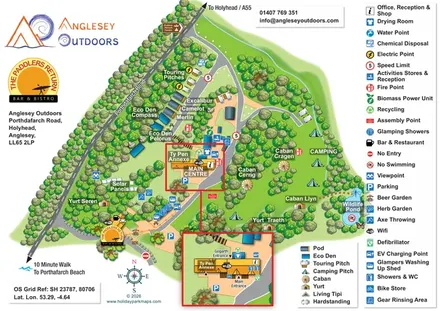
Illustrated camping and glamping map with an activity-centre inset and wildlife pond.
 Explore the map ↗
United Kingdom
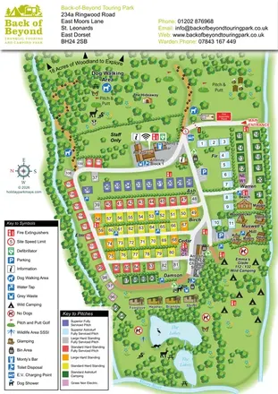
Colour-coded touring pitches, named glamping units and woodland routes at Back of Beyond Touring Park.
Features may come from the sample artwork, its key or published park information. Approximate numbers describe the drawing and may cover only part of a park. They are intended to help you compare map examples. Current facilities and booking information should be checked with the park.
LET’S MAP YOUR PARK
For a map quotation, find your park and draw a rough boundary around it. The area you select helps us work out the design time and price.
Draw your park for a quote ↗Or talk to our map designers
01751 473136