
 Explore the map ↗
United Kingdom
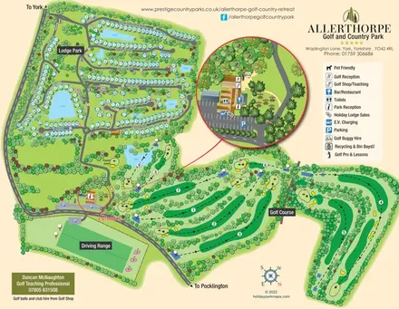
Allerthorpe Golf & Country Park
Lakeside lodge neighbourhoods and a nine-hole golf course, with an enlarged reception and facilities inset.
THE HOLIDAY PARK MAP COLLECTION
Explore maps that include lakes and lochs, from waterside pitches to fishing and walking routes.
← Explore the whole collectionCombine a country, landscape, facilities and accommodation type to find relevant examples.
Showing 1–24 of 120 · Select a map to read its story
Explore the map ↗United Kingdom
Lakeside lodge neighbourhoods and a nine-hole golf course, with an enlarged reception and facilities inset.
 Explore the map ↗
United Kingdom
Ashby Park map with seven fishing lakes, colour-coded accommodation and illustrated wooded shorelines.
 Explore the map ↗
United Kingdom
Woodland camping, lodges, lakes and colour-coded bike trails at Avon Tyrrell Outdoor Centre.
 Explore the map ↗
United Kingdom
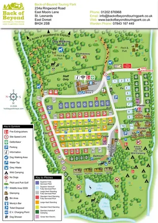
Colour-coded touring pitches, named glamping units and woodland routes at Back of Beyond Touring Park.
 Explore the map ↗
United Kingdom
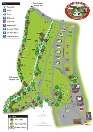
A stream-side farm campsite plan with car-free camping, caravan pitches and separate bell-tent areas.
 Explore the map ↗
United Kingdom
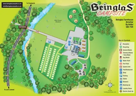
Riverside campsite map with a bridge entrance, wild flower meadow, bell tents and wooded hut paths.
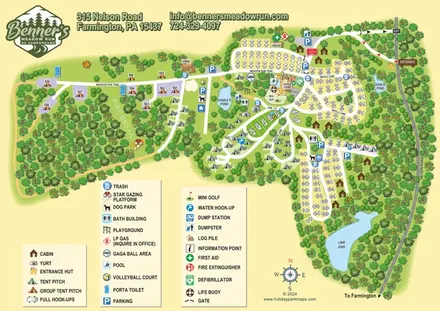 Explore the map ↗
United States
Woodland RV campground map with mixed camping, three water landmarks and a central recreation hub.
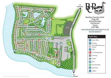 Explore the map ↗
United Kingdom
A numbered holiday-home park plan with lakes, waterfront lanes and a clear entrance-side facilities hub.
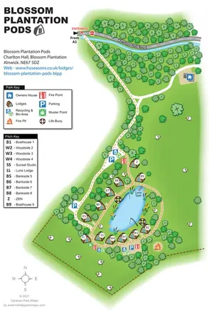 Explore the map ↗
United Kingdom
Illustrated lakeside pod map with woodland arrival routes, named lodges and a waterside circuit.
 Explore the map ↗
United Kingdom
Woodland park map with mixed pitches, bell tents, lodges and a fishing lake.
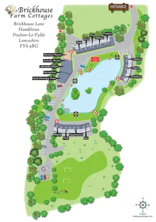 Explore the map ↗
United Kingdom
Lake-centred cottage retreat map with named roof terraces, bold pointer labels, hydrotherapy and sensory facilities, and a southern recreation lawn.
 Explore the map ↗
United Kingdom
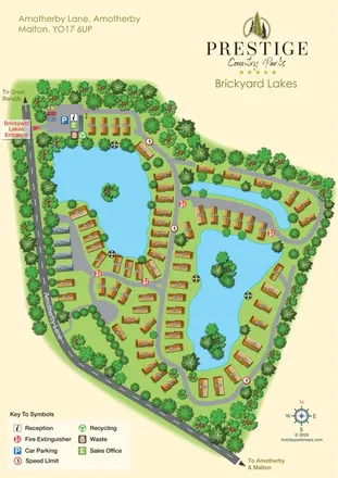
Brickyard Lakes map with lakeside holiday homes, wooded islands and clearly marked arrival facilities.
 Explore the map ↗
United Kingdom
Illustrated lakeside park plan with numbered holiday units, leisure buildings and a looping Woodland Walk.
 Explore the map ↗
Australia
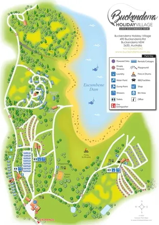
A landscape-led map of Buckenderra Holiday Village, with colour-coded accommodation, lakeside roads and illustrated recreation facilities.
 Explore the map ↗
United Kingdom
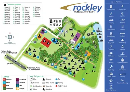
Illustrated group-camping and activity map with named clearings, woodland routes and lakeside watersports.
 Explore the map ↗
United Kingdom
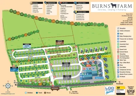
Colour-coded camping and touring sections, illustrated glamping units and a detailed amenities hub at Burns Farm.
 Explore the map ↗
United Kingdom
Colour-coded accommodation, lakeside facilities and woodland routes at Burton Constable Holiday Park & Arboretum.
 Explore the map ↗
United Kingdom
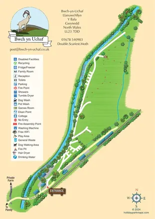
Landscape-led campsite map framed by Afon Twrch and the Bala Lake Railway.
 Explore the map ↗
United Kingdom
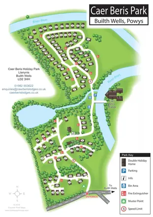
Portrait holiday-home park map with riverside loops, a tree-fringed pond and a separate manor landmark.
 Explore the map ↗
United Kingdom
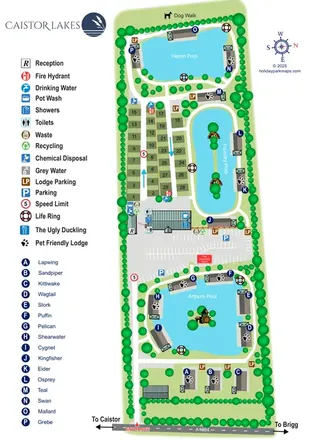
A lake-led park map combining named lodges, touring pitches and shared facilities at Caistor Lakes.
 Explore the map ↗
France
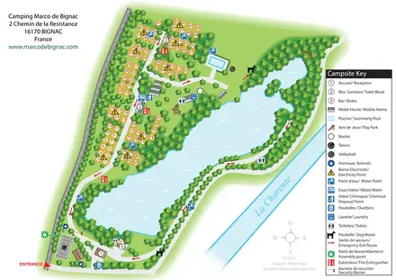
Bilingual lakeside campsite map with numbered pitches, recreation areas and colour-coded service points.
 Explore the map ↗
United Kingdom
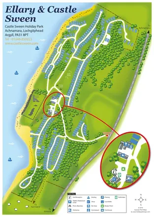
A wooded Loch Sween holiday-park map with numbered plots, castle ruins and an enlarged facilities inset.
 Explore the map ↗
United Kingdom
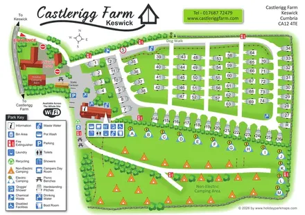
Castlerigg Farm’s bright illustrated plan combines numbered touring rows, lettered electric camping and an open camping field with a detailed amenities key and dog-facility wayfinding.
 Explore the map ↗
United Kingdom
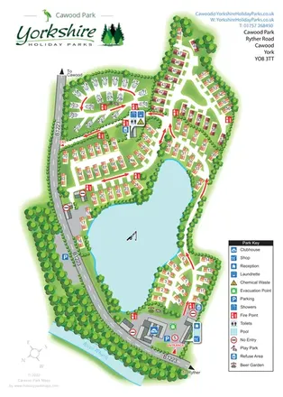
A lake-centred Cawood Park map with touring pitches, tree-lined holiday homes and clear entrance facilities.
LET’S MAP YOUR PARK
For a map quotation, find your park and draw a rough boundary around it. The area you select helps us work out the design time and price.
Draw your park for a quote ↗Or talk to our map designers
01751 473136