
Tree-lined boundaries and internal planting
Repeated leafy tree symbols form a near-continuous perimeter and divide several accommodation groups and arrival spaces.
ILLUSTRATED PARK MAP · P450
Portsalon, Co. Donegal · Ireland
 Enlarge the map ↗
A SENSE OF THE PLACE
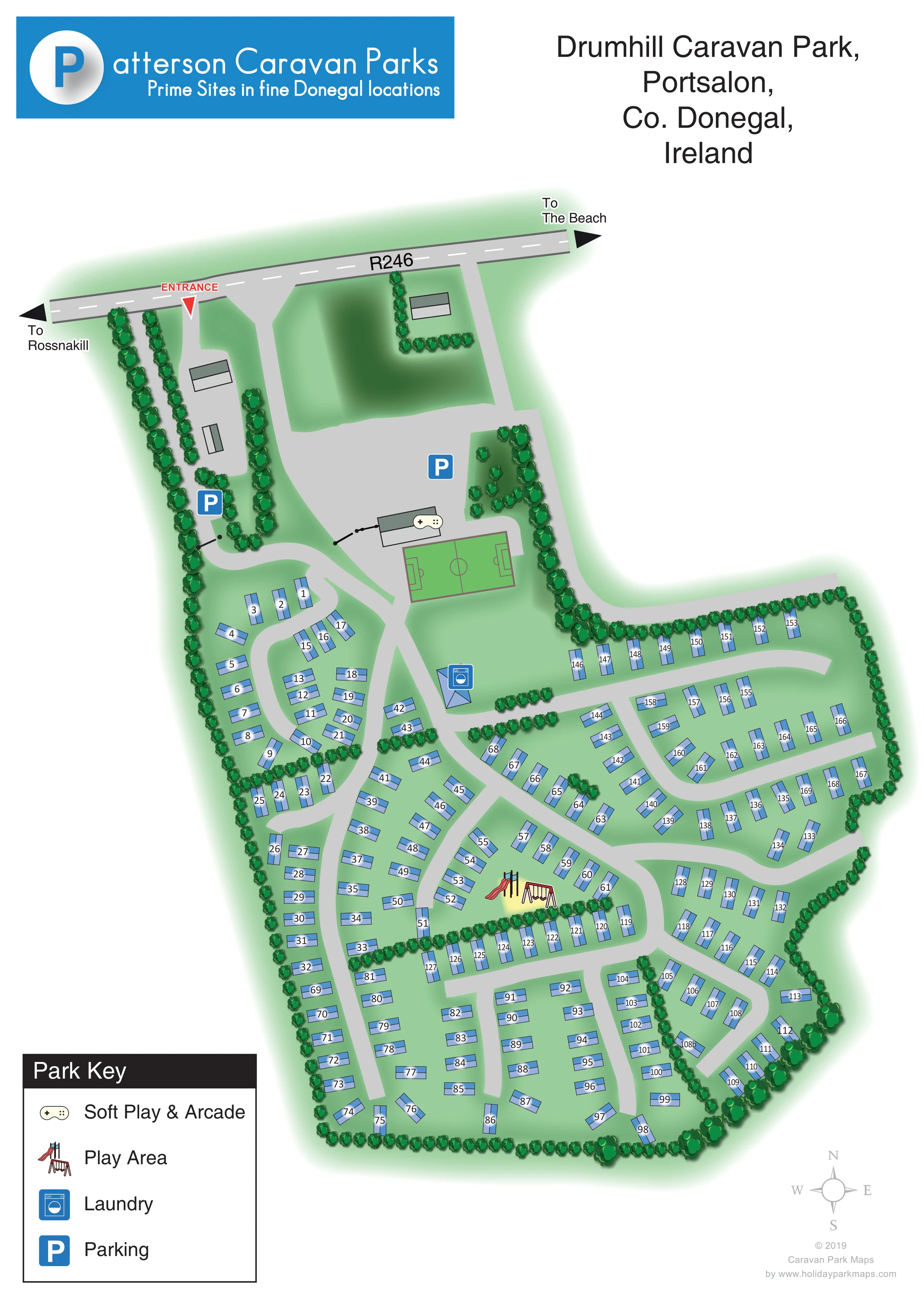
Drumhill Caravan Park is located at Portsalon in County Donegal, beside the golf course and overlooking the Lough Swilly area. Ballymastocker Bay is within walking distance according to the operator.
Serviced caravan pitches form the park's accommodation layout. The map helps owners and visitors find their way through the grounds and understand the site's relationship to the surrounding coastal landscape.
LOOK CLOSER
Repeated leafy tree symbols form a near-continuous perimeter and divide several accommodation groups and arrival spaces.
Green ground surrounds the caravans, with a larger shaded open area between the roadside and the main parking space.
A game-controller symbol identifies the facility in a building beside the large upper parking area and football pitch.
An illustrated slide and swings mark an outdoor play area within the central accommodation grounds; the Park Key names the symbol.
A blue washing-machine symbol marks a small building near the main internal route, below the football pitch.
Two blue P symbols identify parking in the upper arrival and facilities area, including a larger paved space beside the arcade building.
A green rectangular sports pitch has football markings, including a centre circle and goal areas, beside the soft play and arcade building.
A red ENTRANCE label and downward pointer locate the arrival point from the R246 at the upper-left edge of the park.
A game-controller symbol identifies the facility in a building beside the large upper parking area and football pitch.
An illustrated slide and swings mark an outdoor play area within the central accommodation grounds; the Park Key names the symbol.
A blue washing-machine symbol marks a small building near the main internal route, below the football pitch.
Two blue P symbols identify parking in the upper arrival and facilities area, including a larger paved space beside the arcade building.
A green rectangular sports pitch has football markings, including a centre circle and goal areas, beside the soft play and arcade building.
Repeated leafy tree symbols form a near-continuous perimeter and divide several accommodation groups and arrival spaces.
Green ground surrounds the caravans, with a larger shaded open area between the roadside and the main parking space.
A red ENTRANCE label and downward pointer locate the arrival point from the R246 at the upper-left edge of the park.
Broad light-grey lanes connect the arrival area with curved accommodation loops, perimeter rows and short access branches.
A right-pointing arrow on the R246 is labelled To The Beach. The beach itself is outside the illustrated plan.
A left-pointing arrow at the opposite end of the R246 is labelled To Rossnakill.
The catalogue places the park beside the golf course and overlooking the Lough Swilly area, with Ballymastocker Bay within walking distance according to the operator. These surrounding landscapes are not drawn on the plan.
READING THE MAP
This illustrated map of Drumhill Caravan Park presents a tree-lined caravan park in Portsalon, County Donegal, with a clear relationship between its roadside entrance, shared facilities and numbered accommodation. The R246 runs across the top of the page, with arrows towards Rossnakill and the beach giving visitors useful local context before they enter the grounds.
Inside the park, blue caravan symbols follow a network of curved grey lanes. Dense rows of illustrated trees define the boundary and separate groups of pitches, making the site's irregular shape easy to understand. Parking and the soft play and arcade building sit near the arrival area, alongside a marked football pitch. A laundry and an outdoor play area provide further landmarks within the accommodation layout.
The portrait composition combines Patterson Caravan Parks branding with a large site plan and a straightforward four-symbol key. It is a useful sample for caravan park operators who need individual plot wayfinding without losing the character of a landscaped setting or the visibility of family facilities.
The plan is arranged beneath a blue Patterson Caravan Parks banner and a large title naming Drumhill Caravan Park in Portsalon, Co. Donegal, Ireland. Across the upper edge of the illustration, the R246 has a dashed centre line and bold arrows towards Rossnakill and the beach. A red entrance pointer marks the turn into the park.
The upper grounds contain tree-lined approach lanes, grey building forms and two parking markers. A larger parking space adjoins the building identified by the Soft Play & Arcade controller symbol. Immediately below it, a green football pitch is drawn with a centre circle, halfway line and goal-area markings. The laundry appears farther into the site, using a blue washing-machine badge on a small building symbol.
Most of the plan is devoted to accommodation. Roughly 170 blue caravan symbols are arranged along curved loops, short branches and straighter rows. Each carries an individual number, with its orientation adjusted to the lane beside it. The right-hand section extends out from the main body of the park, while the lower grounds contain several compact rows and turning routes. Tree belts frame the perimeter and divide internal sections, helping visitors recognise different parts of the layout. An illustrated slide and swings mark the outdoor play area among the central caravan groups.
The lower-left Park Key explains the four facility symbols, while a pale compass and designer credit balance the opposite corner. The detail views enlarge the key and lower edge of this same artwork; they are not separate park sections or additional maps. No coastline is drawn: the coastal connection is conveyed through the beach direction on the roadside.
KEEP EXPLORING
Chosen for shared landscapes, accommodation or facilities.
 Explore the map ↗
Ireland
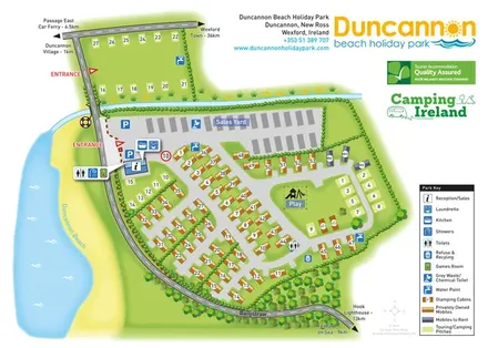
Beachside park plan with colour-coded mobile homes, touring/camping areas, glamping cabins and grouped service symbols.
 Explore the map ↗
Ireland
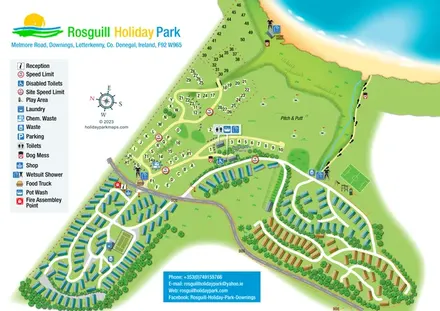
Illustrated coastal park plan with mobile-home loops, visitor pitches, pitch and putt, and a beach path.
 Explore the map ↗
Ireland
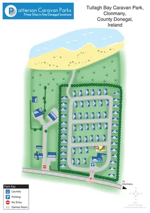
A numbered coastal caravan-park plan with beach access, play area and entrance-side facilities in County Donegal.
Features may come from the sample artwork, its key or published park information. Approximate numbers describe the drawing and may cover only part of a park. They are intended to help you compare map examples. Current facilities and booking information should be checked with the park.
LET’S MAP YOUR PARK
For a map quotation, find your park and draw a rough boundary around it. The area you select helps us work out the design time and price.
Draw your park for a quote ↗Or talk to our map designers
01751 473136