
Beach
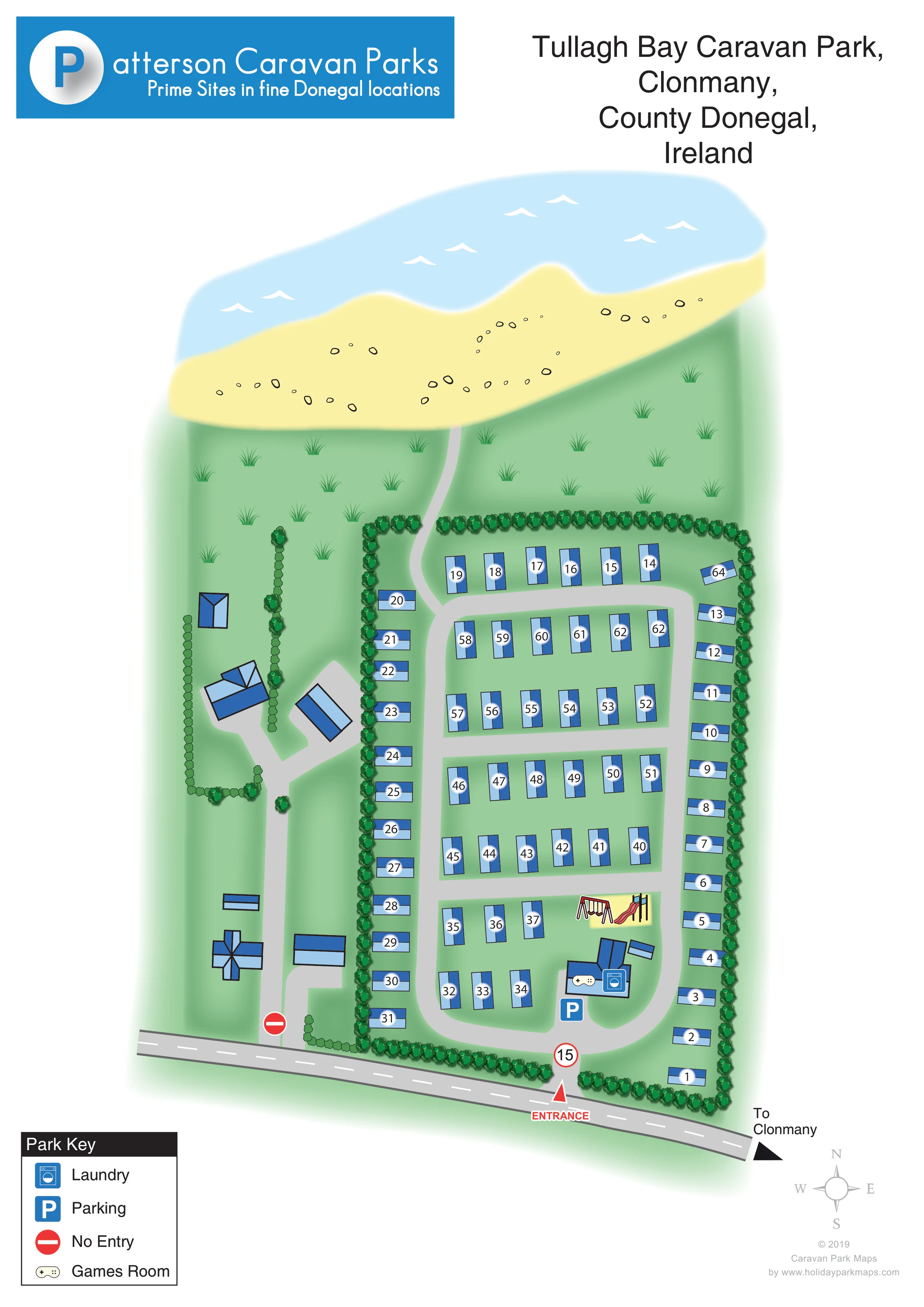
A broad pale-yellow beach with scattered outlined stones stretches across the upper edge of the artwork.
ILLUSTRATED PARK MAP · P629
Crossconnell, Clonmany, County Donegal · Ireland
 Enlarge the map ↗
A SENSE OF THE PLACE
Tullagh Bay Caravan Park is based at Crossconnell, Clonmany, County Donegal.
Tullagh Bay is one of Patterson Caravan Parks' sites on Donegal's northern Inishowen peninsula. The operator's indexed description distinguishes the original Tullagh Bay park and Tullagh Bay II, with serviced caravan pitches.
LOOK CLOSER
A broad pale-yellow beach with scattered outlined stones stretches across the upper edge of the artwork.
Light-blue water with small white wave marks establishes the coastal setting beyond the beach.
An open green strip with stylised grass tufts separates the caravan enclosure from the beach.
Repeated tree symbols enclose the main caravan area; smaller hedge-like planting separates the western buildings and access.
A washing-machine symbol identifies the laundry within the building cluster near the entrance.
A controller symbol marks the games room beside the laundry in the southern amenity cluster.
A blue P symbol marks parking immediately beside the entrance-side amenity buildings.
Illustrated swings and a slide occupy a pale-yellow patch just north of the laundry and games-room buildings.
A washing-machine symbol identifies the laundry within the building cluster near the entrance.
A controller symbol marks the games room beside the laundry in the southern amenity cluster.
A blue P symbol marks parking immediately beside the entrance-side amenity buildings.
Illustrated swings and a slide occupy a pale-yellow patch just north of the laundry and games-room buildings.
A broad pale-yellow beach with scattered outlined stones stretches across the upper edge of the artwork.
Light-blue water with small white wave marks establishes the coastal setting beyond the beach.
An open green strip with stylised grass tufts separates the caravan enclosure from the beach.
Repeated tree symbols enclose the main caravan area; smaller hedge-like planting separates the western buildings and access.
A red arrow and ENTRANCE label mark access from the road along the bottom of the plan.
A rounded perimeter circuit and transverse lanes serve the numbered caravan rows and the entrance-side facilities.
A narrow grey route continues from the northern internal road through the grassy strip to the beach.
A red no-entry symbol appears at the separate western connection to the roadside.
A red-bordered circular sign displaying 15 stands on the entrance route; no measurement unit is specified.
A black arrow and To Clonmany label indicate the onward direction at the right-hand end of the external road.
READING THE MAP
This illustrated map of Tullagh Bay Caravan Park places a compact caravan layout beside the coast at Clonmany in County Donegal, Ireland. A broad sweep of pale-yellow beach and blue water fills the upper part of the artwork, giving visitors an immediate sense of the setting before they look for their numbered caravan.
The main accommodation area is enclosed by rows of trees and organised around a simple network of grey lanes. Near the entrance, the map brings together parking, a laundry, a games room and a pictorial children's play area. A narrow route leads from the northern end of the caravan area towards the beach, while the roadside arrow points towards Clonmany.
Blue accommodation symbols, white number discs and a small, clearly spaced key keep the practical information distinct from the softer landscape illustration. The portrait page also gives prominent space to Patterson Caravan Parks branding and the park's location, making this a useful example of a branded coastal caravan-park plan.
The single-page artwork is arranged as a near-overhead view, with the external road running diagonally across the bottom and the beach and sea spanning the top. The labelled entrance leads into the southern end of a long, tree-bordered caravan enclosure. Inside, a rounded road circuit and several cross-lanes divide the accommodation into short parallel rows, with additional caravans positioned along the outer edges. Approximately 65 blue caravan symbols give the plan a medium-scale, orderly character without overwhelming the page.
The main identified facilities form a cluster close to arrival. A blue parking symbol sits beside buildings marked with laundry and games-room icons. Immediately above them, swings and a slide identify a children's play area on a small yellow patch. These pictorial details offer useful landmarks among the repeated accommodation shapes.
To the west, a separate group of larger blue-roofed buildings is reached by branching grey access routes. Their functions are not labelled. A no-entry symbol marks the western roadside connection, distinct from the main entrance. At the opposite end of the site, a narrow grey route passes through open grassland towards the beach.
The landscape uses shaded green ground, repeated tree crowns and scattered grass tufts. Small stones and white wave marks give the shoreline character without adding dense detail. A four-item key sits below the plan at the left, while a compass and designer credit balance the lower right. The operator's blue banner and large location heading occupy the top. The accompanying enlarged details show the same key and footer, not separate park sections.
KEEP EXPLORING
Chosen for shared landscapes, accommodation or facilities.
 Explore the map ↗
Ireland
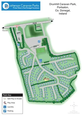
Numbered caravan park plan with tree-lined lanes, family facilities and beach-direction wayfinding in Portsalon.
 Explore the map ↗
Ireland
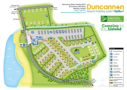
Beachside park plan with colour-coded mobile homes, touring/camping areas, glamping cabins and grouped service symbols.
 Explore the map ↗
Ireland
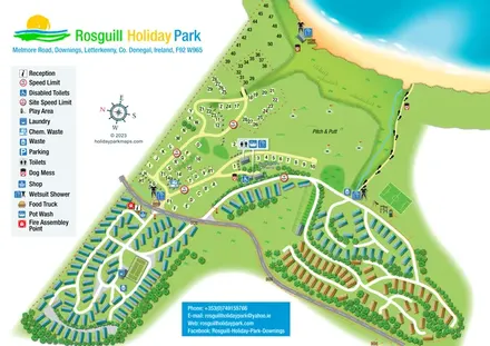
Illustrated coastal park plan with mobile-home loops, visitor pitches, pitch and putt, and a beach path.
Features may come from the sample artwork, its key or published park information. Approximate numbers describe the drawing and may cover only part of a park. They are intended to help you compare map examples. Current facilities and booking information should be checked with the park.
LET’S MAP YOUR PARK
For a map quotation, find your park and draw a rough boundary around it. The area you select helps us work out the design time and price.
Draw your park for a quote ↗Or talk to our map designers
01751 473136