
Tree-lined watercourse
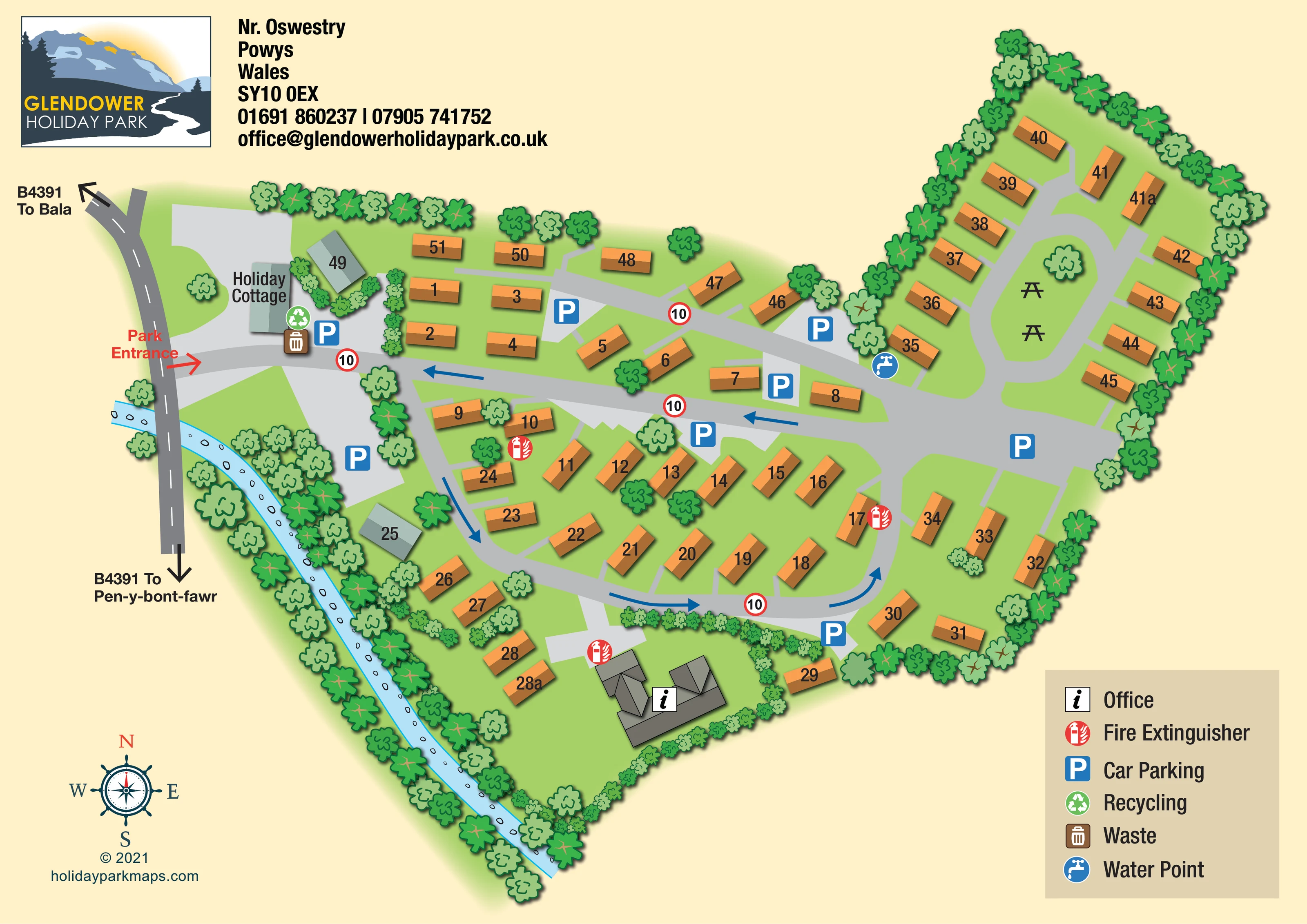
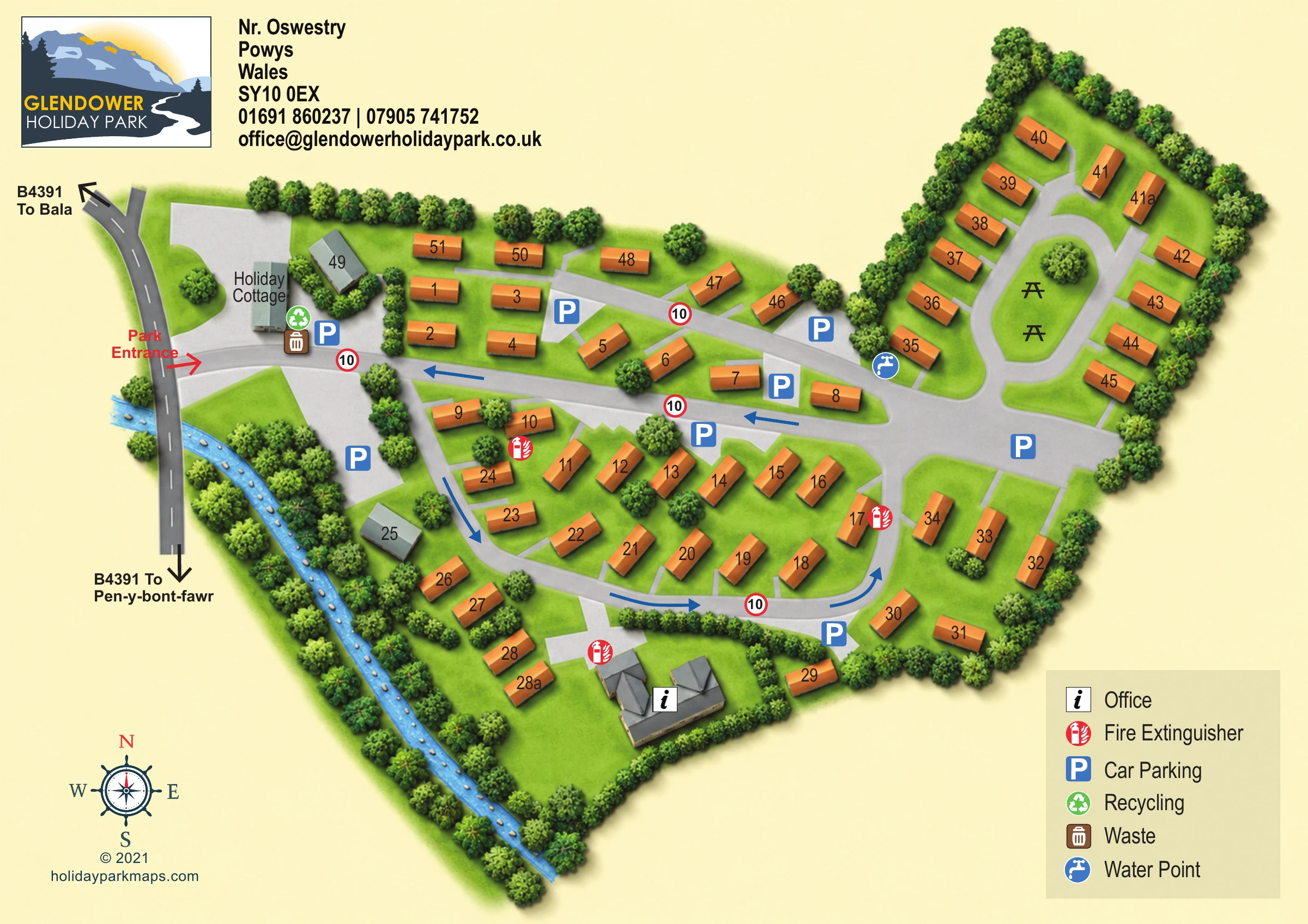
An unnamed pale-blue watercourse, illustrated with stones, follows the south-western edge of the park and passes beneath the adjoining road.
ILLUSTRATED PARK MAP · P470
Glendower Holiday Park, Llangynog, Powys · United Kingdom
 Enlarge the map ↗
A SENSE OF THE PLACE
Glendower Holiday Park is based at Llangynog, Powys. The operator identifies the Eyre family as local owners and Ryan as the on-site manager. Static holiday caravans are offered for sale and a two-bedroom holiday cottage for rent.
The operator describes the park as pet friendly.
LOOK CLOSER
An unnamed pale-blue watercourse, illustrated with stones, follows the south-western edge of the park and passes beneath the adjoining road.
Dense stylised trees define much of the boundary and watercourse corridor. Smaller hedges divide selected plots and enclose the office grounds.
An information symbol identifies the substantial grey-roofed office building within a hedge-lined area at the southern edge of the park.
Blue P symbols mark parking areas near the entrance, beside the central roads and around the accommodation loops.
Repeated red extinguisher symbols identify points within the central accommodation area and near the office.
A green recycling symbol is placed beside the holiday cottage and entrance-side parking.
A brown bin symbol marks the waste point beside the recycling facility near the entrance.
A blue tap symbol marks a water point at the junction leading into the north-eastern accommodation loop.
An information symbol identifies the substantial grey-roofed office building within a hedge-lined area at the southern edge of the park.
Blue P symbols mark parking areas near the entrance, beside the central roads and around the accommodation loops.
Repeated red extinguisher symbols identify points within the central accommodation area and near the office.
A green recycling symbol is placed beside the holiday cottage and entrance-side parking.
A brown bin symbol marks the waste point beside the recycling facility near the entrance.
A blue tap symbol marks a water point at the junction leading into the north-eastern accommodation loop.
Two black picnic-table symbols sit on the elongated grass island enclosed by the north-eastern road loop.
An unnamed pale-blue watercourse, illustrated with stones, follows the south-western edge of the park and passes beneath the adjoining road.
Dense stylised trees define much of the boundary and watercourse corridor. Smaller hedges divide selected plots and enclose the office grounds.
A red Park Entrance label and arrow identify the western access from the B4391.
The adjoining B4391 carries outward arrows labelled To Bala and To Pen-y-bont-fawr.
Broad grey roads connect the entrance to the accommodation loops. Blue arrows indicate circulation on the central and southern roads, while repeated red-ringed 10 signs provide mapped speed cues.
READING THE MAP
This illustrated map of Glendower Holiday Park in Llangynog, Powys, brings together numbered holiday caravan plots, a holiday cottage and everyday visitor facilities in a compact, landscape-format plan. A pale-blue watercourse traces the south-western boundary, while a dense border of stylised trees gives the artwork its distinctly green character. Orange caravan symbols stand out against the grass and grey roads, making the accommodation easy to pick out without losing the surrounding landscape.
The entrance is clearly marked from the B4391, with directions towards Bala and Pen-y-bont-fawr providing useful arrival context. Inside the park, blue arrows explain the illustrated traffic flow, and parking symbols appear at several convenient points around the layout. The north-eastern road loop encloses a small picnic green, while the office occupies a separate hedge-lined area towards the bottom of the plan.
A mountain-and-river logo, prominent contact block, compass rose and concise facility legend complete a design focused on finding individual plots and understanding the park at a glance.
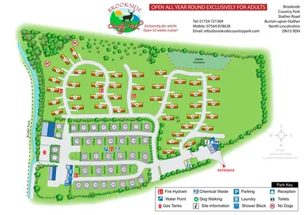
The artwork presents the park as an overhead illustrated plan, using an irregular green footprint rather than a rectangular site diagram. The B4391 runs along the left-hand side, with a red entrance arrow leading into the internal road network. The holiday cottage, parking, recycling and waste symbols form a recognisable arrival cluster just inside this western edge.
A broad central road connects the entrance to the eastern part of the park. Below it, a curving loop serves angled rows of numbered caravans and the plots beside the watercourse. Blue arrows show circulation along this loop and back across the central road; red-ringed 10 signs are repeated at key positions. Short, lighter-grey spurs distinguish individual plot access from the main roads.
The north-eastern extension has its own elongated loop. Caravan units line its outer edges, while a grass island in the middle contains a tree and two picnic-table symbols. A water point is marked near the loop's approach. Across the rest of the plan, blue parking symbols and red fire extinguisher symbols remain easy to identify against the muted ground colours. The office is represented by a more detailed grey-roofed building within hedge-lined grounds at the southern edge.
Landscape illustration gives the plan much of its character: alternating tree shapes frame the boundary, small shrubs divide selected plots, and an unnamed blue watercourse contains individual stone marks. The top-left logo and location block balance the lower-right six-entry legend, with a compass rose in the opposite corner. The single map is shown in full and through overlapping detail enlargements, which reveal the same artwork rather than separate park sections.
 Enlarge this map ↗
KEEP EXPLORING
Chosen for shared landscapes, accommodation or facilities.
 Explore the map ↗
United Kingdom
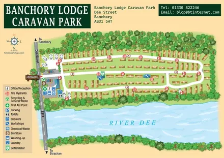
A tree-framed riverside park map with numbered caravans, linked road loops and a compact entrance facilities key.
 Explore the map ↗
United Kingdom
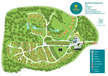
A woodland holiday-park plan with numbered homes, tree-named roads, walking loops and a distinctive entrance totem pole.
 Explore the map ↗
United Kingdom
Tree-framed park plan combining touring rows, holiday homes, a brook and a wildlife enclosure.
Features may come from the sample artwork, its key or published park information. Approximate numbers describe the drawing and may cover only part of a park. They are intended to help you compare map examples. Current facilities and booking information should be checked with the park.
LET’S MAP YOUR PARK
For a map quotation, find your park and draw a rough boundary around it. The area you select helps us work out the design time and price.
Draw your park for a quote ↗Or talk to our map designers
01751 473136