
River Severn
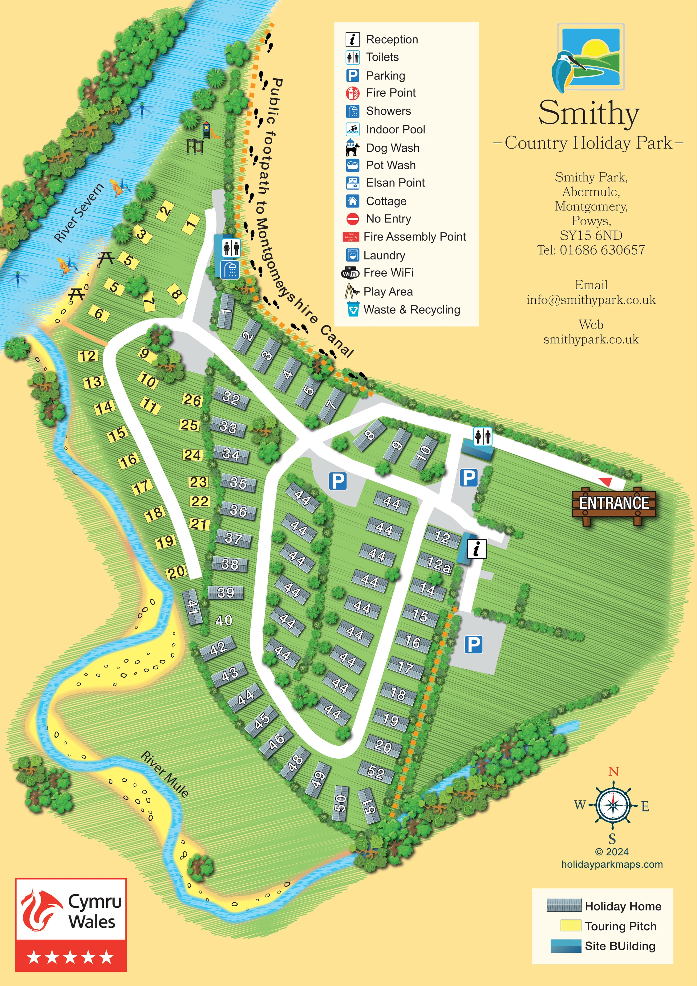
The broad blue river is labelled along the north-western edge, with dense trees on its opposite bank.
ILLUSTRATED PARK MAP · P304
Smithy Park, Abermule, Montgomery, Powys · United Kingdom
 Enlarge the map ↗
A SENSE OF THE PLACE
Smithy Park is a riverside holiday park at Abermule in Powys, between Montgomery and Newtown. The Rivers Mule and Severn help define its setting in the Welsh countryside.
Serviced touring and motorhome pitches are supported by toilets and laundry facilities. Oak Cottage provides a separate self-catering option in the village, giving visitors a choice of accommodation for exploring the surrounding area.
LOOK CLOSER
The broad blue river is labelled along the north-western edge, with dense trees on its opposite bank.
A narrower, winding river follows the western and southern perimeter, with yellow banks and illustrated stones.
Layered trees line the rivers and southern boundary; hedges divide accommodation rows and enclose open grass on the eastern side.
An information symbol identifies a blue site building just south of the entrance junction.
Toilet symbols appear near the entrance and beside the northern touring area; a shower symbol accompanies the latter.
Three grey parking areas are marked with prominent blue P symbols around the arrival area and central junction.
A slide tower and swings are illustrated at the northern end, between the River Severn and the boundary footpath.
Two picnic-table illustrations sit beside the River Severn near the touring pitches.
An information symbol identifies a blue site building just south of the entrance junction.
Toilet symbols appear near the entrance and beside the northern touring area; a shower symbol accompanies the latter.
Three grey parking areas are marked with prominent blue P symbols around the arrival area and central junction.
A slide tower and swings are illustrated at the northern end, between the River Severn and the boundary footpath.
Two picnic-table illustrations sit beside the River Severn near the touring pitches.
The broad blue river is labelled along the north-western edge, with dense trees on its opposite bank.
A narrower, winding river follows the western and southern perimeter, with yellow banks and illustrated stones.
Layered trees line the rivers and southern boundary; hedges divide accommodation rows and enclose open grass on the eastern side.
A large timber-style ENTRANCE sign and red triangular marker highlight the road entering from the right.
Broad white roads connect the entrance junction, touring spur and elongated loop through the holiday-home area.
A prominently labelled route follows the northern boundary, illustrated with black footprints and an orange dashed line. The canal itself is not depicted.
Included in the facility key, without a clearly identifiable location on the plan.
Named and illustrated in the facility key only.
Included in the key; no corresponding position is clearly marked.
A chemical-waste disposal symbol appears in the key only.
Listed in the facility key, without a clearly located laundry symbol.
The key includes a Free WiFi symbol; it does not define a coverage area.
Included in the key, with no clearly identifiable collection-point position.
A red fire-point symbol appears in the key only.
Named in the key, but no assembly-point location is clearly marked on the plan.
The key includes a no-entry symbol; a corresponding road restriction is not clearly located.
Cottage is listed in the facility key, without a clearly mapped cottage building.
READING THE MAP
This illustrated map of Smithy Park places its riverside setting at the centre of the visitor experience. The River Severn runs along the upper-left edge, while the smaller River Mule curves around the western and southern sides of the holiday park at Abermule in Powys. Bright blue water, leafy boundaries and textured green lawns give the plan a strong countryside identity without obscuring its practical information.
The accommodation is easy to distinguish: grey roof-shaped symbols identify holiday homes, while yellow rectangles mark touring pitches beside the rivers. Broad white roads lead from a prominently signed eastern entrance into branching routes and a long southern loop. Reception, parking, toilets and showers provide useful orientation points, and illustrated play equipment and picnic tables draw attention to the northern riverside space.
A footprint-marked public footpath towards Montgomeryshire Canal adds a walking connection beyond the park. The portrait page also makes room for a substantial facility key, a separate accommodation key and the park's kingfisher branding, creating a sample that combines visitor navigation with a recognisable sense of place.
The single portrait map uses an overhead plan with small dimensional touches in the buildings, trees and entrance sign. Its irregular outline follows the rivers: the broad River Severn occupies the north-western edge, and the narrower River Mule winds around the west and bottom of the site. Yellow banks, scattered stone outlines and blue water hatching make the river corridors visually distinct from the green accommodation areas.
Visitors enter from the right, where a large timber-style ENTRANCE sign marks the approach. The white road reaches a central junction with parking and a toilet building nearby. A short branch leads past reception towards another parking area, while the principal routes continue into the accommodation. Holiday homes form hedge-separated central rows and a curved southern perimeter, linked by an elongated loop road. Touring pitches occupy the western riverside strip and a smaller northern cluster, with toilets and showers marked near that cluster.
At the northern tip, drawings of swings and a slide identify the play area. Picnic tables appear along the Severn bank. Black footprints and orange dashes trace the labelled public footpath towards Montgomeryshire Canal, providing a different visual language from the vehicle roads.
A tall facility legend and an upper-right branding and contact panel balance the illustrated site. The legend also lists amenities such as an indoor pool, dog wash, pot wash, Elsan point, laundry and waste and recycling, although their positions are not clearly marked. A separate lower-right key explains accommodation and site-building colours. The compass rose and Cymru Wales graphic complete the page. The enlarged detail views show portions of this same artwork rather than separate maps or additional accommodation.
KEEP EXPLORING
Chosen for shared landscapes, accommodation or facilities.
 Explore the map ↗
United Kingdom
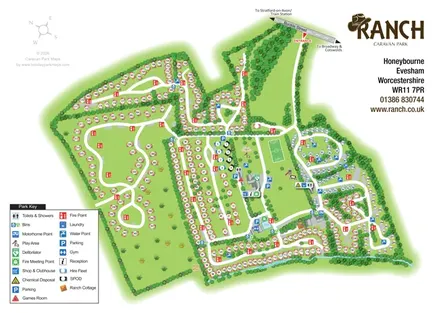
Illustrated Ranch Caravan Park map with looping accommodation roads, central leisure facilities and Gate Inn Brook.
 Explore the map ↗
United Kingdom
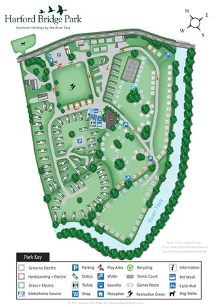
Riverside park map with colour-coded pitches, static caravan groups and a comprehensive facilities key.
 Explore the map ↗
United Kingdom
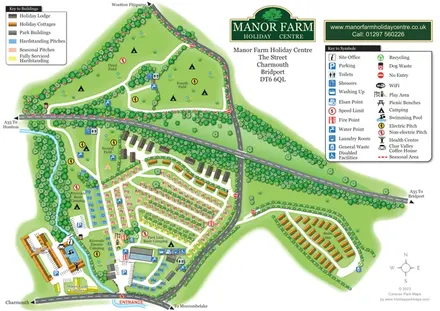
Colour-coded pitches, riverside camping and separate accommodation areas at Manor Farm Holiday Centre, Dorset.
Features may come from the sample artwork, its key or published park information. Approximate numbers describe the drawing and may cover only part of a park. They are intended to help you compare map examples. Current facilities and booking information should be checked with the park.
LET’S MAP YOUR PARK
For a map quotation, find your park and draw a rough boundary around it. The area you select helps us work out the design time and price.
Draw your park for a quote ↗Or talk to our map designers
01751 473136