
River Swale
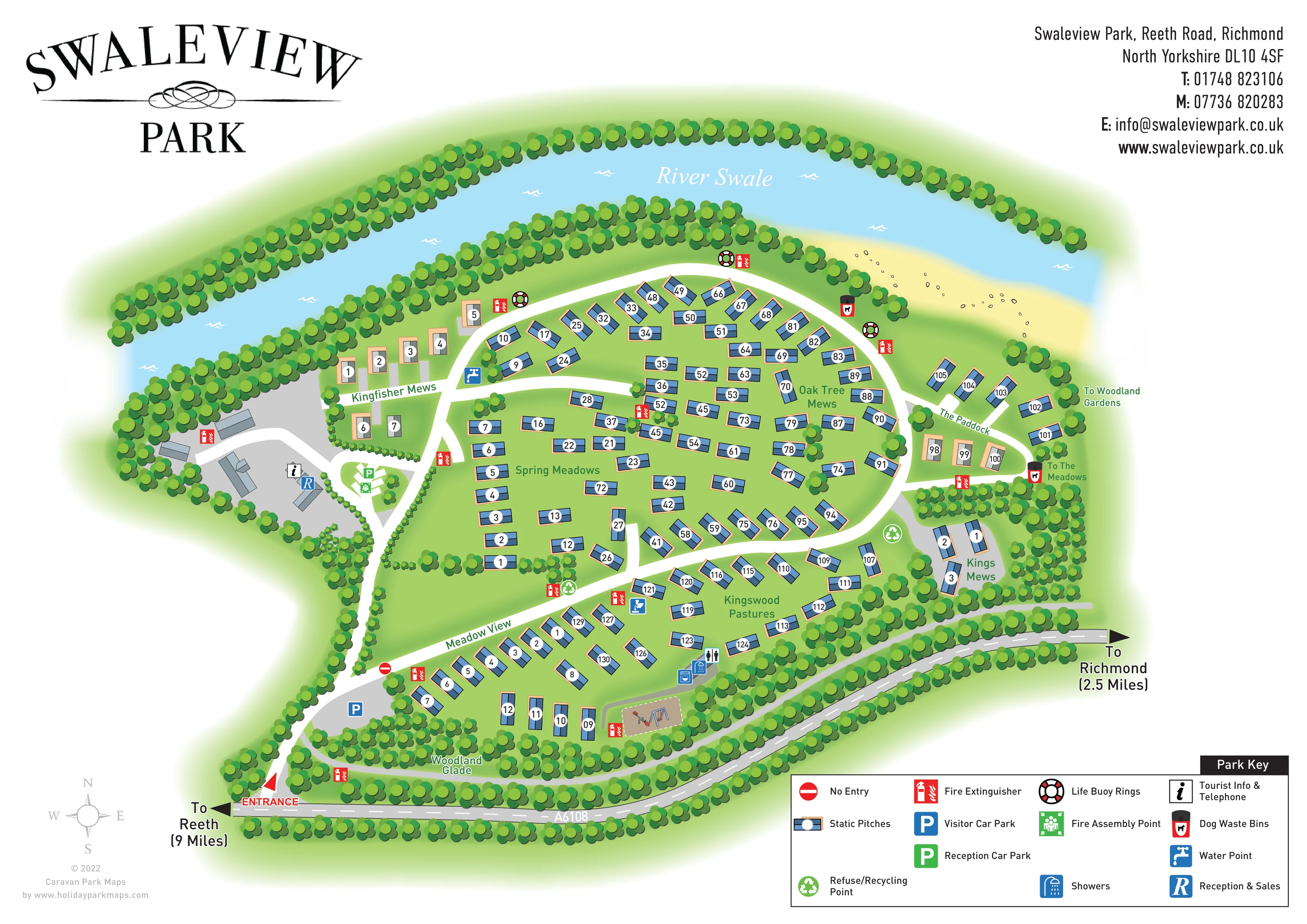
A broad, curving river forms the upper edge of the composition, with wooded banks, white ripple marks and a pale exposed-bank area towards the right.
ILLUSTRATED PARK MAP · P614
Swaleview Park, Reeth Road, Richmond, North Yorkshire · United Kingdom
 Enlarge the map ↗
A SENSE OF THE PLACE
Swaleview Park is a family-owned holiday home and lodge park beside the river near Richmond in North Yorkshire. Woodland and the Swaledale landscape give the grounds their character.
Holiday homes and lodges are offered for ownership, with some enjoying riverside views from their decks. The park provides a base for exploring Richmond and the Yorkshire Dales, and the map helps explain its setting and internal layout.
LOOK CLOSER
A broad, curving river forms the upper edge of the composition, with wooded banks, white ripple marks and a pale exposed-bank area towards the right.
Dense tree belts frame the river, roadside and park perimeter; smaller trees and hedges divide accommodation groups and soften road junctions.
A named wooded strip follows the lower boundary beside a narrow grey route.
The entrance is marked at the lower left by a red arrow. The bordering A6108 carries directional labels towards Reeth and Richmond.
A main approach leads to the reception area and branches into a large curving loop, cross-links and smaller access spurs.
A blue R symbol identifies reception and sales among the grey buildings on the western side of the park.
Green reception-parking signage appears beside the reception approach; blue visitor-parking signage marks a separate area closer to the entrance.
An information symbol beside the reception buildings is explained in the key as tourist information and telephone.
A broad, curving river forms the upper edge of the composition, with wooded banks, white ripple marks and a pale exposed-bank area towards the right.
Dense tree belts frame the river, roadside and park perimeter; smaller trees and hedges divide accommodation groups and soften road junctions.
A named wooded strip follows the lower boundary beside a narrow grey route.
The entrance is marked at the lower left by a red arrow. The bordering A6108 carries directional labels towards Reeth and Richmond.
A main approach leads to the reception area and branches into a large curving loop, cross-links and smaller access spurs.
A blue R symbol identifies reception and sales among the grey buildings on the western side of the park.
Green reception-parking signage appears beside the reception approach; blue visitor-parking signage marks a separate area closer to the entrance.
An information symbol beside the reception buildings is explained in the key as tourist information and telephone.
A shower symbol and male/female toilet pictogram appear together beside the lower accommodation area, near Kingswood Pastures.
A blue washing-machine pictogram appears beside the shower and toilet symbols, although it is not separately explained in the park key.
A small tan enclosure near the southern tree belt contains illustrated swings and other play equipment.
Green recycling symbols identify points around the central and eastern internal roads.
A blue tap symbol marks a water point near the western end of the main accommodation loop.
Dog-waste-bin symbols appear on the eastern side, including near the riverside loop and The Meadows direction label.
Repeated red extinguisher symbols are distributed across the reception area, accommodation roads and park edges.
A green assembly-point symbol appears beside the reception car park.
Ring symbols are placed at several points along the park's riverside edge.
A red no-entry symbol marks an internal junction near the visitor car park and Meadow View.
Two labels on the eastern edge indicate onward destinations without depicting their full layouts.
READING THE MAP
This illustrated map of Swaleview Park places its riverside setting at the heart of the page. The River Swale curves across the upper edge, framed by dense green tree belts, while the A6108 follows the lower boundary towards Richmond and Reeth. Between them, numbered static holiday-home pitches are grouped into named areas connected by a clear network of white roads.
The plan combines a broad view of the grounds with practical arrival information. A prominent entrance arrow leads towards visitor parking and the reception approach, with separate symbols for reception parking, information and everyday facilities. Names such as Kingfisher Mews, Spring Meadows and Kingswood Pastures help visitors understand the park as a series of neighbourhoods rather than a single field of numbered units.
Blue accommodation symbols, layered tree canopies and a pale blue river give the artwork its character. The large Swaleview Park heading and neatly boxed key keep the page recognisable and usable, making this a useful sample for holiday-home parks that need to explain both their internal layout and their landscape setting.
The composition follows the shape of the park between its wooded river frontage and roadside boundary. Entry is shown at the lower left, where a red arrow points off the A6108 into a tree-lined approach. Visitor parking lies close to this entrance, while reception and sales occupy a group of grey buildings farther up the western side. Reception parking, tourist information and telephone, and a fire assembly point are marked nearby.
A broad, curving road loop organises the main accommodation. Spring Meadows occupies much of the central-left ground, with Oak Tree Mews to the right and Kingswood Pastures below. Kingfisher Mews forms a small group towards the river, while The Paddock and Kings Mews create compact eastern pockets. Meadow View runs diagonally through the southern section. Green labels distinguish these areas, and white numbered discs remain conspicuous against the blue and pale grey unit symbols.
Practical detail is distributed through the plan rather than confined to the key. It shows recycling points, a water point, dog waste bins and repeated fire-extinguisher markers. Life buoy rings follow the river-facing edge. Near the lower accommodation rows, shower, toilet and washing-machine pictograms sit close to a small illustrated play area. A no-entry marker identifies an internal junction near visitor parking.
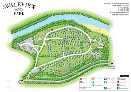
The River Swale is illustrated with ripple marks and a pale stony bank, while tree clusters define boundaries and internal divisions. Woodland Glade labels the lower wooded strip. Directions to The Meadows and Woodland Gardens continue beyond the eastern edge without adding another detailed site plan. The single-page artwork is completed by a compass, contact block and multi-column key; the enlarged detail views show portions of this same composition.
KEEP EXPLORING
Chosen for shared landscapes, accommodation or facilities.
 Explore the map ↗
United Kingdom
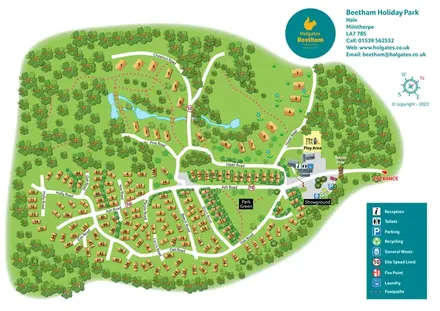
A woodland holiday-park plan with numbered homes, tree-named roads, walking loops and a distinctive entrance totem pole.
 Explore the map ↗
United Kingdom
Illustrated lakeside park plan with numbered holiday units, leisure buildings and a looping Woodland Walk.
 Explore the map ↗
United Kingdom
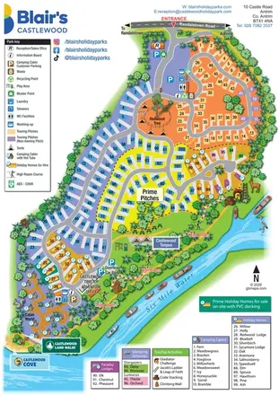
A colourful riverside park map combining touring pitches, holiday accommodation and treetop adventures.
Features may come from the sample artwork, its key or published park information. Approximate numbers describe the drawing and may cover only part of a park. They are intended to help you compare map examples. Current facilities and booking information should be checked with the park.
TAKE A CLOSER LOOK
View the illustrated map in detail or choose a file to download. These are sample maps; contact the park for current visitor information.


LET’S MAP YOUR PARK
For a map quotation, find your park and draw a rough boundary around it. The area you select helps us work out the design time and price.
Draw your park for a quote ↗Or talk to our map designers
01751 473136