
Mature tree belts
Dense illustrated trees enclose the park and divide the western accommodation lanes from the main pitch grid.
ILLUSTRATED PARK MAP · P627
Trekenning Tourist Park, Trekenning, Newquay, Cornwall · United Kingdom
 Enlarge the map ↗
A SENSE OF THE PLACE
Trekenning Tourist Park is a family-run park near Newquay in Cornwall, surrounded by mature trees. Seasonal touring pitches are a prominent part of its current holiday offering.
The operator describes centrally located washrooms, laundry, a bar and restaurant, children's outdoor play and a heated outdoor swimming pool. Its inland position provides a base for visiting Cornwall's beaches and surrounding countryside.
LOOK CLOSER
Dense illustrated trees enclose the park and divide the western accommodation lanes from the main pitch grid.
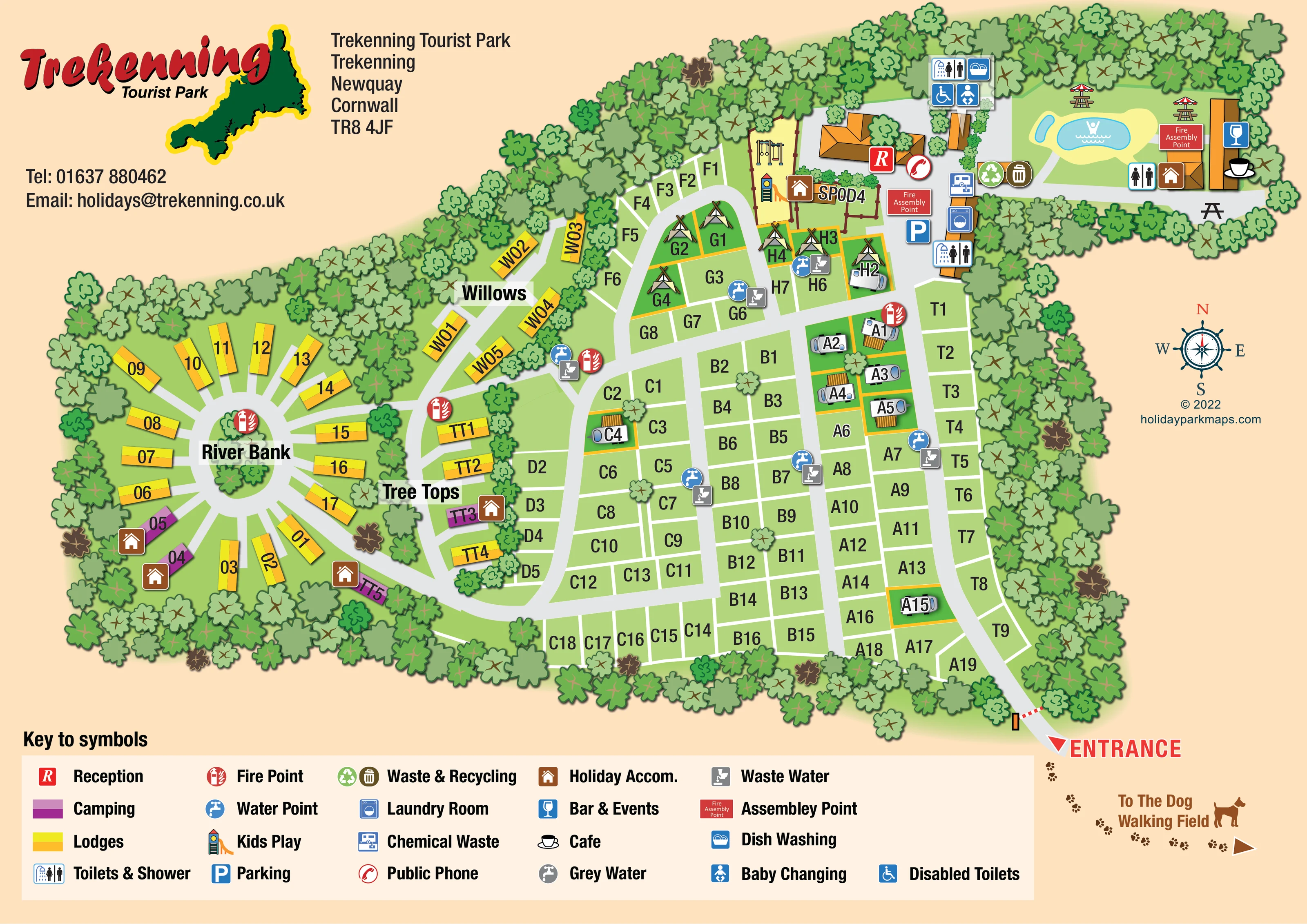
A red R marks the orange-roofed reception building near the northern end of the main arrival road.
A blue P identifies parking beside reception and the central facilities.
An irregular blue pool and smaller adjacent blue shape sit within a pale-yellow surround in the north-eastern leisure area.
A blue glass symbol marks the long building at the eastern edge of the pool area.
A cup symbol identifies the café at the same north-eastern building group.
Swings and a colourful slide illustrate the play area beside reception and the northern camping pitches.
Picnic tables, including parasol-topped tables, are drawn around the pool and café area.
A red R marks the orange-roofed reception building near the northern end of the main arrival road.
A blue P identifies parking beside reception and the central facilities.
An irregular blue pool and smaller adjacent blue shape sit within a pale-yellow surround in the north-eastern leisure area.
A blue glass symbol marks the long building at the eastern edge of the pool area.
A cup symbol identifies the café at the same north-eastern building group.
Swings and a colourful slide illustrate the play area beside reception and the northern camping pitches.
Picnic tables, including parasol-topped tables, are drawn around the pool and café area.
Toilet-and-shower symbols identify facilities on the northern boundary and beside the central service buildings; a further toilet symbol appears near the pool.
The wheelchair symbol, described as Disabled Toilets in the key, is placed at the northern washroom building.
A baby-changing symbol is grouped with the northern washroom facilities.
The dish-washing symbol appears at the northern washroom building.
A washing-machine symbol identifies laundry facilities beside the main reception and parking area.
A red telephone symbol is positioned beside reception.
Blue tap symbols are distributed through the main pitch blocks and near the western accommodation lanes.
Grey disposal symbols are grouped with several water points around the touring area.
A blue chemical-waste symbol is shown beside the central facilities.
Paired recycling and bin symbols sit between the central service area and the pool.
A separate grey-water tap symbol is explained in the key, but its location is not clearly identifiable on the plan.
Red fire-point symbols are distributed around the accommodation areas, including the River Bank circle.
Two red labelled assembly-point boxes appear near reception and beside the pool-area buildings.
Dense illustrated trees enclose the park and divide the western accommodation lanes from the main pitch grid.
Three named western sections provide local wayfinding. River Bank is a section name; no river is illustrated.
A red entrance arrow and illustrated barrier mark the south-eastern access. Broad grey roads lead north to reception and branch west through the accommodation areas.
Paw prints, a dog silhouette and an arrow direct visitors beyond the entrance towards a dog-walking field outside the drawn park boundary.
READING THE MAP
This illustrated map of Trekenning Tourist Park near Newquay brings together a tree-enclosed touring area, colourful lodge plots and a compact cluster of leisure facilities. Its most distinctive feature is River Bank: a circular accommodation layout with plots radiating around a wooded central island. The neighbouring Willows and Tree Tops sections follow curving lanes, contrasting with the more regular pitch blocks across the centre and east of the park.
The design uses a warm peach background, green landscaping and broad grey roads to keep the site structure readable. Yellow and orange distinguish lodges, purple identifies camping plots, and large letter-and-number labels help visitors locate individual pitches. Reception, washrooms, laundry and disposal facilities are marked with a consistent set of symbols, while the outdoor pool, play equipment and picnic tables receive recognisable illustrations.
A prominent entrance arrow establishes the arrival point, and a paw-print trail points towards the dog-walking field beyond the plan. The Trekenning logo, Cornwall silhouette and wide symbol key give this practical visitor map a clearly local identity.
The plan is arranged around a main road entering at the lower-right corner and continuing north towards reception, parking and the service buildings. Green pitch blocks occupy most of the centre and eastern side, with clear white divisions and large alphanumeric identifiers. Cross-roads connect these blocks to the western accommodation areas, where yellow lodge plots line Willows and Tree Tops before opening into the circular River Bank layout. Purple camping plots and brown holiday-accommodation symbols add further distinctions without requiring detailed building drawings at every plot.
Facilities are concentrated at the top of the map. Reception stands beside the children's play area, illustrated with swings and a slide. Nearby symbols identify parking, a public phone, laundry, chemical-waste disposal and toilets and showers. A separate northern washroom building carries symbols for dish washing, baby changing and accessible toilets. Water and waste-water points recur throughout the accommodation areas, and fire-point markers are distributed across the site.
The north-eastern leisure corner contains an irregular blue outdoor pool, picnic tables and a long building marked for the café and bar and events. Waste and recycling symbols sit nearby, and red assembly-point labels appear both here and beside reception. Dense illustrated trees surround the park and screen several internal sections, making the enclosed landscape an important part of the composition.
Outside the entrance, a dog silhouette and paw-print arrow indicate the direction of the dog-walking field without drawing the field itself. A compass rose occupies the open right-hand margin. The full-width lower key explains the colour coding and service symbols. The legend enlargements show details of this same single-page artwork rather than additional park sections.
KEEP EXPLORING
Chosen for shared landscapes, accommodation or facilities.
 Explore the map ↗
United Kingdom
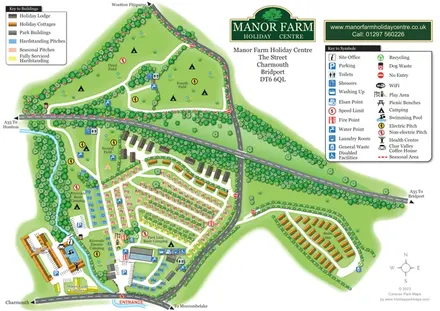
Colour-coded pitches, riverside camping and separate accommodation areas at Manor Farm Holiday Centre, Dorset.
 Explore the map ↗
Spain
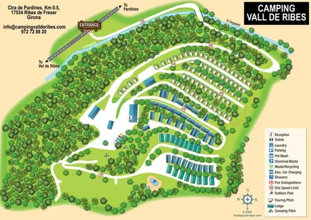
Wooded campsite map with a river-crossing approach, curved touring rows, lodges and paired outdoor pools.
 Explore the map ↗
United Kingdom
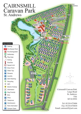
Portrait park map combining numbered caravan rows, touring and tent areas with a reservoir-side recreation hub.
Features may come from the sample artwork, its key or published park information. Approximate numbers describe the drawing and may cover only part of a park. They are intended to help you compare map examples. Current facilities and booking information should be checked with the park.
LET’S MAP YOUR PARK
For a map quotation, find your park and draw a rough boundary around it. The area you select helps us work out the design time and price.
Draw your park for a quote ↗Or talk to our map designers
01751 473136