
El Segadell
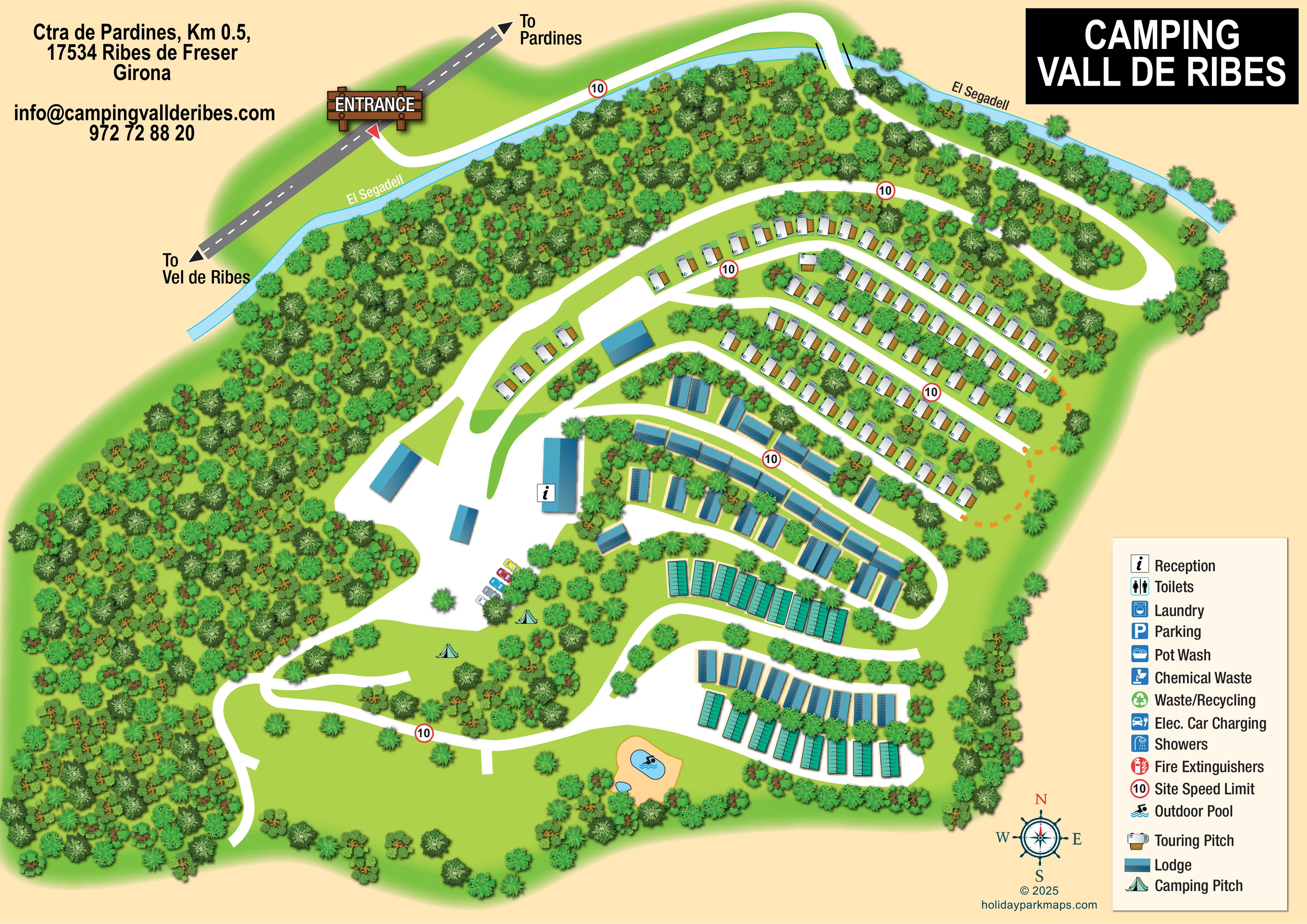
A narrow light-blue river follows the upper and north-western edge of the illustrated site and is labelled twice.
ILLUSTRATED PARK MAP · P063
Ctra de Pardines, Km 0.5, Ribes de Freser, Girona · Spain
 Enlarge the map ↗
A SENSE OF THE PLACE
Camping Vall de Ribes is based at Ctra de Pardines, Km 0.5, Ribes de Freser, Girona. The park is on the edge of Ribes de Freser, with views of the surrounding Pyrenean landscape. The park offers bungalows and mobile homes alongside touring, motorhome and seasonal pitches.
The service building has hot showers, toilets, washing-up areas and laundry machines. The campsite has a restaurant and shared barbecue facilities. There are separate outdoor pools for adults and children, a play area and a games room.
LOOK CLOSER
A narrow light-blue river follows the upper and north-western edge of the illustrated site and is labelled twice.
Dense illustrated woodland fills much of the western side and the strip between the river and accommodation. Smaller planted belts separate rows.
Broad green clearings occupy the lower-left portion, contrasting with the closely arranged accommodation to the east.
An information symbol locates reception on a large blue-roofed building beside the central arrival court.
A short row of coloured cars depicts parking near reception and the camping area; Parking also appears in the legend.
A pale ochre surround encloses a larger rounded blue pool and a smaller pool near the southern edge. A swimmer symbol identifies the pool area.
Repeated red-ringed signs marked 10 sit along the internal roads. The artwork does not state a speed unit.
A timber-style ENTRANCE sign and red pointer identify the turn from the grey external road onto the white access road.
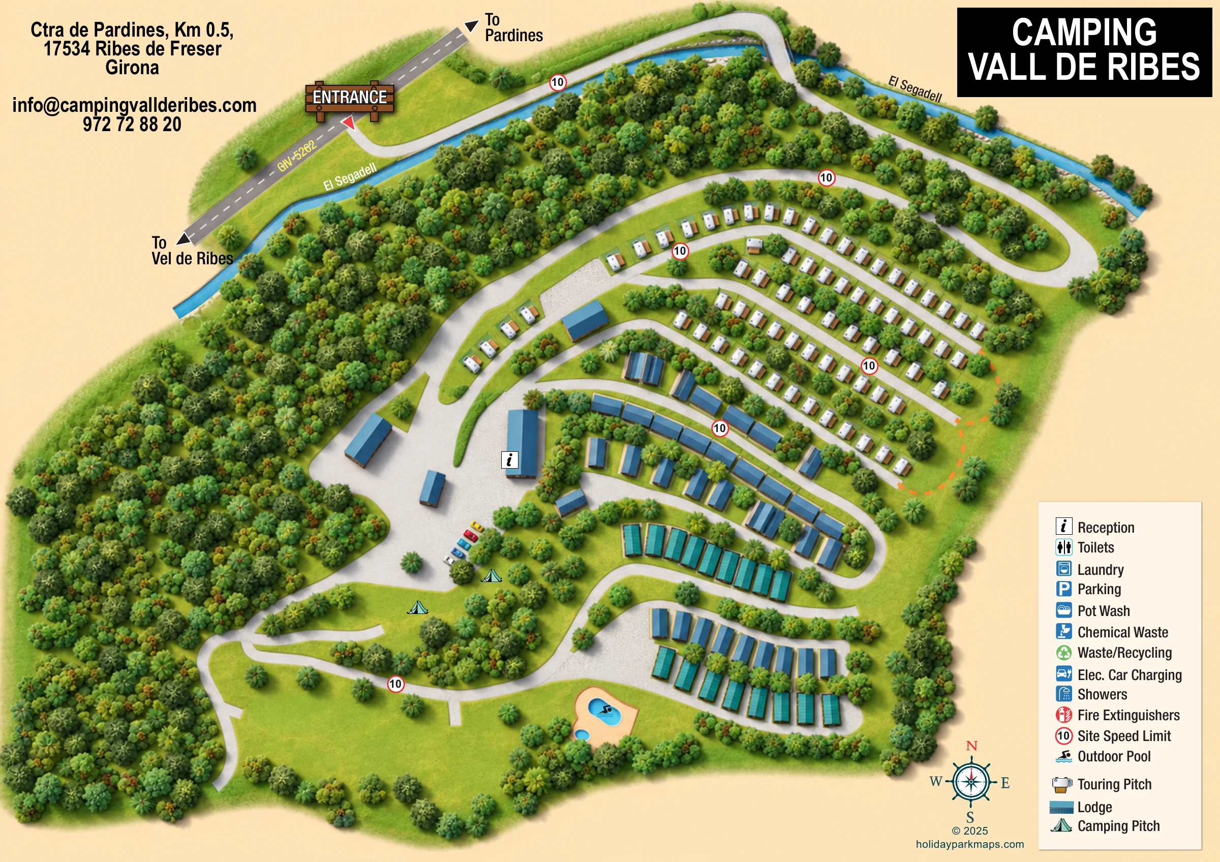
An information symbol locates reception on a large blue-roofed building beside the central arrival court.
A short row of coloured cars depicts parking near reception and the camping area; Parking also appears in the legend.
A pale ochre surround encloses a larger rounded blue pool and a smaller pool near the southern edge. A swimmer symbol identifies the pool area.
These services are listed in the key, but their individual locations are not marked clearly on the plan.
Separate disposal symbols appear in the legend without clearly positioned counterparts in the main artwork.
The legend includes an electric car charging symbol; no charging location is clearly identified.
A red extinguisher symbol is included in the key, without clearly mapped positions.
Repeated red-ringed signs marked 10 sit along the internal roads. The artwork does not state a speed unit.
A timber-style ENTRANCE sign and red pointer identify the turn from the grey external road onto the white access road.
Arrowheads indicate Pardines in one direction and a destination printed as 'Vel de Ribes' in the other.
A narrow light-blue river follows the upper and north-western edge of the illustrated site and is labelled twice.
The entrance road follows the river before crossing it near the top of the plan, with short black edge lines indicating the crossing.
Dense illustrated woodland fills much of the western side and the strip between the river and accommodation. Smaller planted belts separate rows.
Broad green clearings occupy the lower-left portion, contrasting with the closely arranged accommodation to the east.
Short orange dashed curves connect or skirt the eastern ends of touring rows. Their purpose is not explained by the legend.
The park information describes a restaurant and shared barbecue facilities; neither is individually labelled on this map.
A play area and games room are described in the park information but are not separately identified in the artwork.
READING THE MAP
This illustrated map of Camping Vall de Ribes presents a wooded campsite beside El Segadell in Ribes de Freser, Girona, within the Spanish Pyrenean setting. Its most distinctive feature is the approach: visitors enter from the Pardines road, follow the river and cross it before reaching the accommodation and reception area. That extended arrival sequence is easy to understand within the single landscape-format plan.
The map shows touring pitches arranged in curved rows across the upper-right section, with blue-roofed lodges and additional turquoise-roofed units further down the site. An open camping clearing sits below reception, while a pair of outdoor pools provides a recognisable landmark near the lower edge. Dense tree illustrations give the western half a very different character from the more closely organised accommodation bands.
A cream background, white roads and bright green ground keep the circulation visible despite the richly illustrated planting. The bold title panel, prominent entrance sign, compass rose and separate pictorial key make this a useful sample for campsites that need to explain a mixed accommodation layout without losing the character of their natural setting.
The plan is organised around a long white access road entering at the upper left. A timber-style entrance sign marks its junction with the grey external road, whose arrows point towards Pardines and the destination printed as 'Vel de Ribes'. The access route follows the blue ribbon of El Segadell, crosses the water near the top of the artwork and curves around a substantial belt of trees before joining the internal road network.
Touring accommodation occupies several gently curving rows in the upper-right area. Each pitch is represented by a white caravan with an ochre awning, giving this part of the map a readily recognisable texture. Below it, elongated blue-roofed lodges line branching roads and a rounded loop. Further south, turquoise-roofed units form two additional bands, although the key does not explain their separate roof colour. Trees and shrubs break up the rows and define the spaces between them.
Reception is marked with an information symbol on a larger building beside the central white arrival court. Nearby cars indicate parking, and tent symbols identify grass camping below the court. The lower-left section opens into broad green space, while the pool area near the southern edge contains a larger rounded pool and a smaller companion pool on a pale ochre surround.
Repeated red-ringed 10 signs provide road markers. The right-hand legend lists sanitation, washing, waste, charging and safety symbols alongside accommodation types, though several service symbols have no clear position on the plan. A compass rose and designer credit complete the lower margin. The artwork is a single whole-site composition; the enlarged views show overlapping portions of that same plan rather than separate sections or additional sites.
 Enlarge this map ↗
KEEP EXPLORING
Chosen for shared landscapes, accommodation or facilities.
 Explore the map ↗
United States
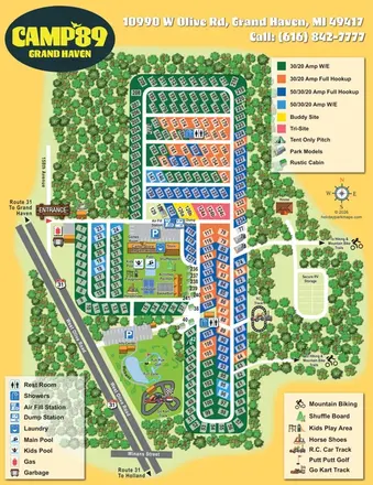
Colour-coded RV pitches, woodland borders and two activity hubs at Camp '89 Grand Haven.
 Explore the map ↗
United Kingdom
Woodland park map with mixed pitches, bell tents, lodges and a fishing lake.
 Explore the map ↗
Australia
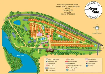
Numbered cabin rows, central amenities and wooded Ovens River frontage at Bundalong Riverside Resort.
Features may come from the sample artwork, its key or published park information. Approximate numbers describe the drawing and may cover only part of a park. They are intended to help you compare map examples. Current facilities and booking information should be checked with the park.
LET’S MAP YOUR PARK
For a map quotation, find your park and draw a rough boundary around it. The area you select helps us work out the design time and price.
Draw your park for a quote ↗Or talk to our map designers
01751 473136