
Boundary river or stream
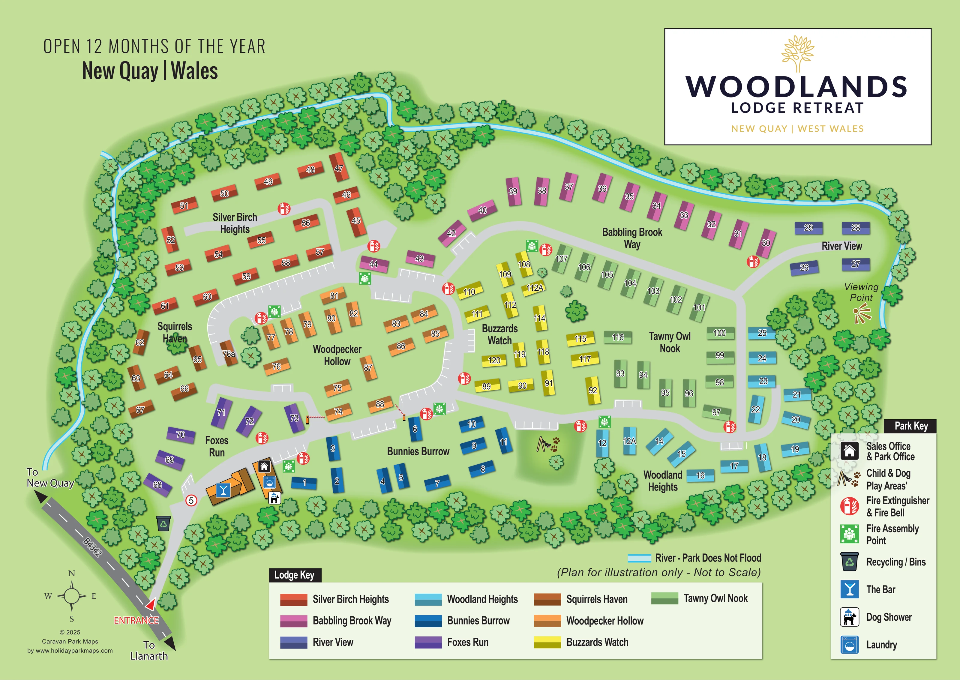
A narrow cyan watercourse follows the western, northern and eastern edges of the wooded site.
ILLUSTRATED PARK MAP · P379
Gilfachreda, New Quay, Ceredigion · United Kingdom
 Enlarge the map ↗
A SENSE OF THE PLACE
Woodlands Lodge Retreat is set in a wooded valley beside a stream near New Quay and Aberaeron in Ceredigion. Holiday lodges are offered for ownership, with privately owned lodges also available for holiday stays.
The park welcomes families and dogs and provides children's play, a dog shower and an enclosed dog-play area. The map shows the lodge layout and shared spaces within the valley setting.
LOOK CLOSER
A narrow cyan watercourse follows the western, northern and eastern edges of the wooded site.
Dense stylised trees enclose the park, with further clusters separating lodge neighbourhoods and surrounding the eastern viewing area.
A labelled gold viewing symbol sits beside the eastern watercourse, beyond River View and Woodland Heights.
A house-shaped office symbol marks the small building cluster just inside the entrance.
A blue cocktail-glass symbol identifies the larger orange building near the entrance.
A washing-machine symbol is placed within the entrance-side service cluster.
A dog-and-shower symbol is shown beside the entrance-side buildings.
A combined swing-and-paw symbol marks a green shared space between Bunnies Burrow and Woodland Heights.
A house-shaped office symbol marks the small building cluster just inside the entrance.
A blue cocktail-glass symbol identifies the larger orange building near the entrance.
A washing-machine symbol is placed within the entrance-side service cluster.
A dog-and-shower symbol is shown beside the entrance-side buildings.
A combined swing-and-paw symbol marks a green shared space between Bunnies Burrow and Woodland Heights.
Repeated red circular symbols identify fire equipment beside roads throughout the lodge areas.
Green assembly symbols appear at several road junctions and shared spaces across the plan.
A recycling-bin symbol is shown beside the entrance road.
White bay markings line several internal road edges, with additional small parking pockets.
A narrow cyan watercourse follows the western, northern and eastern edges of the wooded site.
Dense stylised trees enclose the park, with further clusters separating lodge neighbourhoods and surrounding the eastern viewing area.
A labelled gold viewing symbol sits beside the eastern watercourse, beyond River View and Woodland Heights.
The entrance is marked at the lower-left corner, with road arrows pointing towards New Quay and Llanarth.
Broad pale-grey roads form linked loops and short branches serving the lodge neighbourhoods.
A four-point compass beside the approach road provides orientation.
READING THE MAP
This illustrated map of Woodlands Lodge Retreat presents a wooded lodge park near New Quay in Ceredigion, West Wales. A ribbon of blue water follows the tree-lined boundary, while nine colour-coded neighbourhoods make the accommodation layout easy to distinguish. Names such as Babbling Brook Way, Woodpecker Hollow and Tawny Owl Nook give the plan a character closely tied to its setting.
The map combines numbered lodge symbols with a connected network of pale-grey roads, marked parking bays and clear shared-facility icons. At the entrance, the office, bar, laundry and dog shower form a compact arrival hub. Further into the park, a child-and-dog play space and an eastern viewing point provide useful destinations beyond the accommodation itself.
A large branded panel, separate lodge and facility keys, and directional arrows towards New Quay and Llanarth complete the composition. This sample demonstrates a landscape-led approach to lodge-park mapping, where neighbourhood colour, practical navigation and a recognisable woodland identity work together on one page.
The plan places the entrance at the lower-left corner, connecting the park to the B4342. Arrows show the directions towards New Quay and Llanarth, and a compass rose supplies orientation. Just inside the entrance, orange building forms carry symbols for the sales and park office, bar, laundry and dog shower. A recycling-bin symbol sits beside the approach.
From this arrival area, broad grey roads spread into linked loops and short branches. White parking-bay markings appear along several road edges. Silver Birch Heights occupies the north-western section, with Squirrels Haven and Foxes Run below it. Woodpecker Hollow sits around a central loop, while Bunnies Burrow follows the southern side. Across the upper half, Babbling Brook Way leads towards River View; Buzzards Watch and Tawny Owl Nook occupy the central and eastern interior, with Woodland Heights along the lower-right edge.
Each neighbourhood has its own two-tone lodge colour, repeated in the horizontal Lodge Key. White plot numbers with dark outlines remain visible against the coloured units. Red fire-equipment symbols and green assembly-point symbols are distributed throughout the road network, and a separate vertical Park Key explains the facilities.
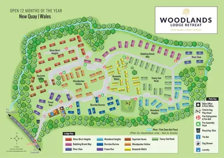
Dense illustrated trees wrap around the site and divide some of the accommodation groups. The cyan watercourse follows the western, northern and eastern boundaries. A gold viewing-point marker appears beside the eastern river bend, while a swing-and-paw pictogram identifies the shared child-and-dog play space nearer the centre. The complete artwork is a single branded plan; the accompanying detail view enlarges its eastern section and facility key rather than depicting another site.
KEEP EXPLORING
Chosen for shared landscapes, accommodation or facilities.
 Explore the map ↗
United Kingdom
Woodland camping, lodges, lakes and colour-coded bike trails at Avon Tyrrell Outdoor Centre.
 Explore the map ↗
United Kingdom
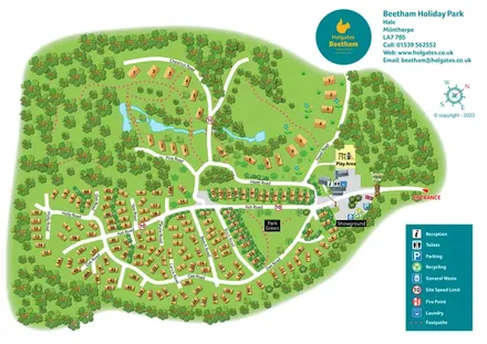
A woodland holiday-park plan with numbered homes, tree-named roads, walking loops and a distinctive entrance totem pole.
 Explore the map ↗
United Kingdom
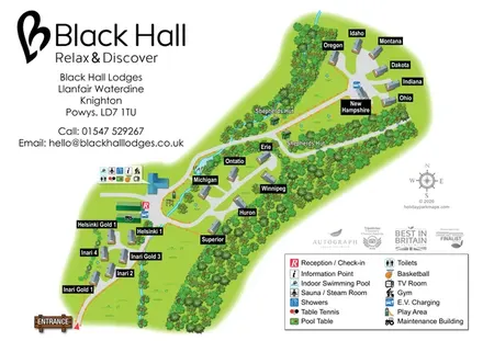
Named lodges, shepherds' huts and a shared leisure hub in a wooded countryside plan.
Features may come from the sample artwork, its key or published park information. Approximate numbers describe the drawing and may cover only part of a park. They are intended to help you compare map examples. Current facilities and booking information should be checked with the park.
TAKE A CLOSER LOOK
View the illustrated map in detail or choose a file to download. These are sample maps; contact the park for current visitor information.


LET’S MAP YOUR PARK
For a map quotation, find your park and draw a rough boundary around it. The area you select helps us work out the design time and price.
Draw your park for a quote ↗Or talk to our map designers
01751 473136