
 Explore the map ↗
United Kingdom
Rural Roosts
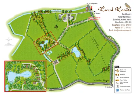
Rural Roosts farm overview with lakeside lodge inset, walking routes and countryside visitor features.
ILLUSTRATED PARK MAP COLLECTION
Explore illustrated maps of Rural Roosts, Seaward Holiday Park, Shallow Grange Farm, Shaw Hall Holiday Park, Shell Island Campsite and Silverstone Golf Club Campsite. Compare the layouts, landscape and facilities, and discover each park in more detail.
← Browse map collectionsExplore the map ↗United Kingdom
Rural Roosts farm overview with lakeside lodge inset, walking routes and countryside visitor features.
 Explore the map ↗
United Kingdom
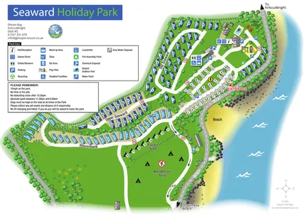
Coastal park map with named caravan sections, touring pitches, camping areas and a clearly illustrated facilities hub.
 Explore the map ↗
United Kingdom
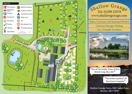
Illustrated farm campsite plan with fishing pond, public footpaths and a photographic promotional panel.
 Explore the map ↗
United Kingdom
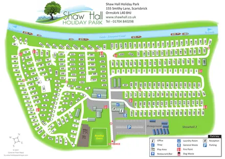
Canal-side holiday-park map with numbered static homes, a central facility hub and a showground.
 Explore the map ↗
United Kingdom
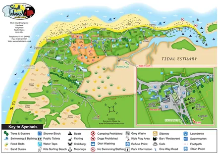
Coastal campsite map with named camping fields, harbour facilities and an enlarged arrival-hub inset.
 Explore the map ↗
United Kingdom
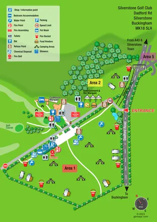
A bright, symbol-led event campsite map with open camping zones, golf-course scenery and a roadside bridge.
LET’S MAP YOUR PARK
For a map quotation, find your park and draw a rough boundary around it. The area you select helps us work out the design time and price.
Draw your park for a quote ↗Or talk to our map designers
01751 473136