
River Forth
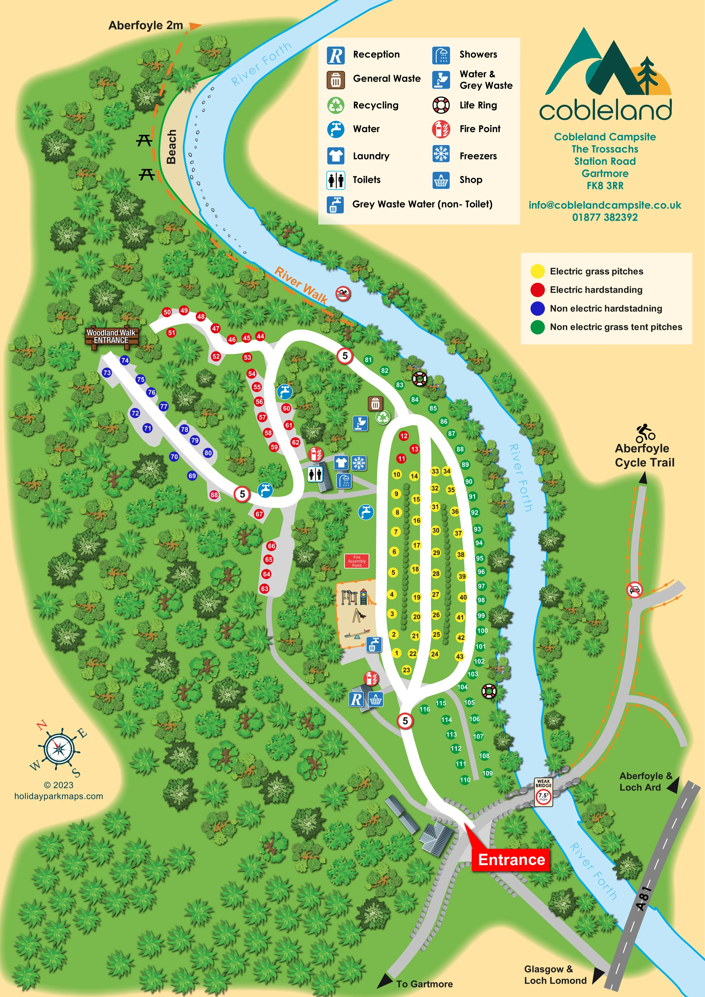
The named river curves across the top of the page and continues down the right-hand side of the campsite, forming the main landscape boundary.
ILLUSTRATED PARK MAP · P082
Cobleland Campsite, The Trossachs, Station Road, Gartmore · United Kingdom
 Enlarge the map ↗
A SENSE OF THE PLACE
Cobleland Campsite occupies woodland and river meadow near Gartmore in the Trossachs. Visitors can choose open meadow pitches or terraced woodland areas within Loch Ard Forest.
The site welcomes well-behaved dogs and places an emphasis on its natural surroundings and wildlife habitats. Its map helps explain the different camping areas, the river setting and the routes through the grounds.
LOOK CLOSER
The named river curves across the top of the page and continues down the right-hand side of the campsite, forming the main landscape boundary.
Dense illustrated tree cover surrounds the campsite and separates the irregular hardstanding branches from the more open grass pitching area.
A labelled pale beach follows the upper river bend, with pebble details at the water's edge and picnic-table symbols beside the walk.
Reception and shop symbols share a small roofed building beside the main internal road, just beyond the entrance.
Toilet and shower symbols identify the central amenity building between the woodland hardstandings and grass pitching area.
Laundry and freezer symbols are grouped with the central amenity facilities.
Repeated blue tap symbols mark water points beside the woodland loops and central grass area.
General waste and recycling symbols are grouped near the upper end of the main grass pitching area.
Reception and shop symbols share a small roofed building beside the main internal road, just beyond the entrance.
Toilet and shower symbols identify the central amenity building between the woodland hardstandings and grass pitching area.
Laundry and freezer symbols are grouped with the central amenity facilities.
Repeated blue tap symbols mark water points beside the woodland loops and central grass area.
General waste and recycling symbols are grouped near the upper end of the main grass pitching area.
A combined water and grey waste symbol appears near the waste and recycling cluster. A separate non-toilet grey waste water symbol is placed beside the play area.
A tan, orange-edged enclosure contains illustrated climbing equipment, a slide, a swing and a seesaw, beside the central grass pitches.
Red fire-point symbols appear at reception and the central amenity building.
A red labelled panel marks the fire assembly point immediately above the play area.
Life-ring symbols are positioned at two points along the campsite's river frontage.
The named river curves across the top of the page and continues down the right-hand side of the campsite, forming the main landscape boundary.
Dense illustrated tree cover surrounds the campsite and separates the irregular hardstanding branches from the more open grass pitching area.
A labelled pale beach follows the upper river bend, with pebble details at the water's edge and picnic-table symbols beside the walk.
An orange dashed route follows the upper riverbank past the beach and continues towards an Aberfoyle direction arrow.
A brown illustrated sign marks the Woodland Walk entrance beside the upper-left hardstanding pitches.
A grey route on the opposite side of the river is labelled with a bicycle pictogram and an Aberfoyle Cycle Trail arrow; a crossed-out car symbol distinguishes this route from vehicle access.
A large red Entrance callout points to the junction where the approach road meets the campsite's white internal road.
A stone-edged bridge links the entrance junction to the route on the opposite bank. The artwork includes a weak-bridge weight-limit sign.
The A81 is shown at the lower right, with arrows towards Aberfoyle and Loch Ard, Glasgow and Loch Lomond, and Gartmore.
Repeated red-bordered 5 signs appear on internal roads, and a crossed-out swimming pictogram is shown beside the River Walk.
READING THE MAP
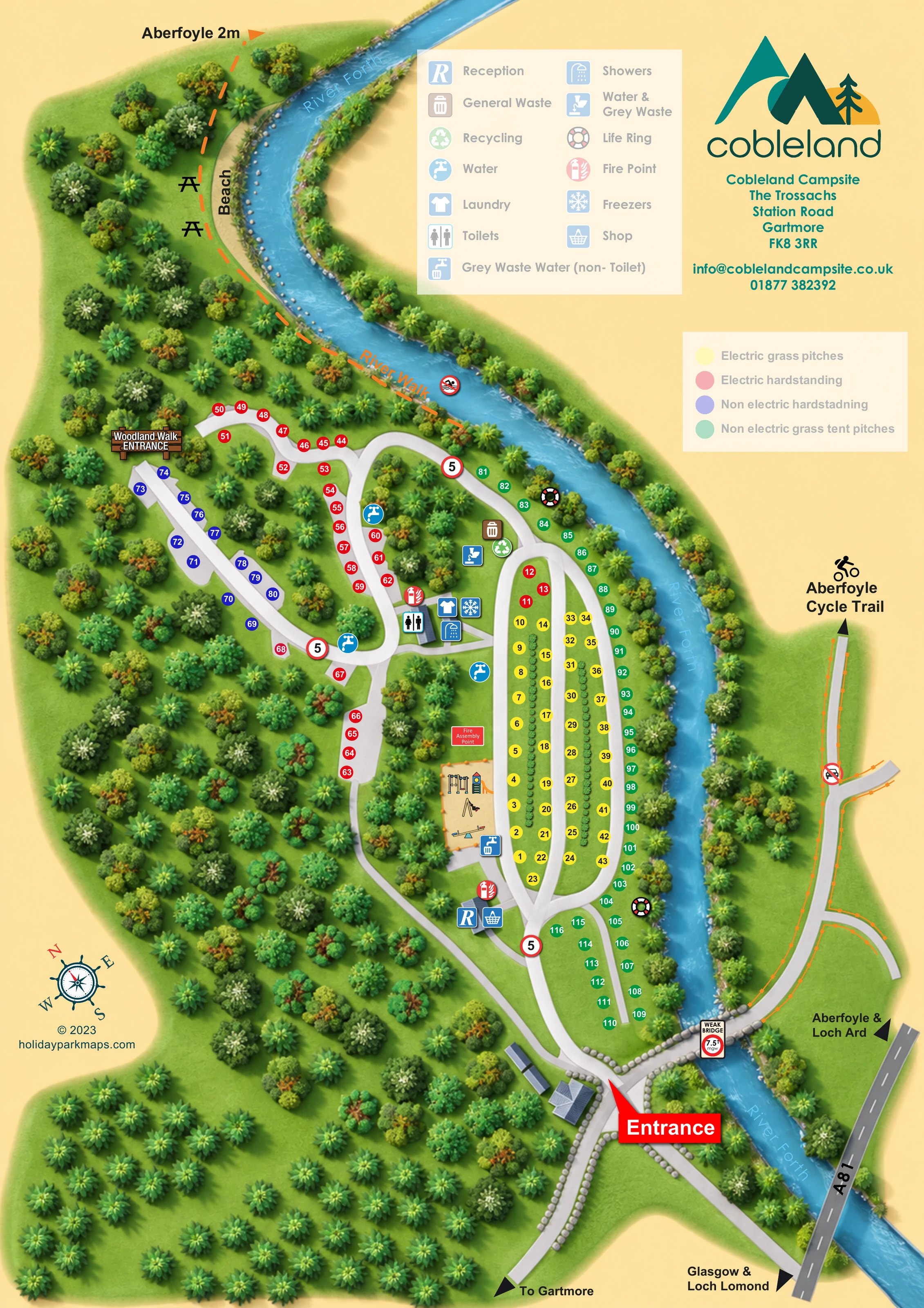
This illustrated map of Cobleland Campsite presents a woodland and riverside camping setting near Gartmore in the Trossachs. The River Forth curves around the site, giving the portrait composition a clear natural edge and helping visitors understand how the camping areas relate to the surrounding landscape.
The map distinguishes four pitch categories with numbered yellow, red, blue and green circles. Long rows of electric grass pitches occupy the more open central ground, while hardstanding pitches follow winding branches through the trees. Non-electric tent pitches run beside the river and continue towards the entrance end of the campsite.
Practical destinations are integrated into the plan, including reception and shop, the central amenity building, water points, waste facilities and a children's play area. Beyond the pitches, the artwork identifies a riverside beach, picnic tables, the River Walk, a Woodland Walk entrance and the Aberfoyle Cycle Trail across the river. Separate facility and pitch keys keep the different kinds of information easy to distinguish, while the Cobleland logo and contact block give the page a clear branded identity.
The single portrait map is organised around the River Forth, which sweeps across the upper page before running down the campsite's right-hand boundary. Dense illustrated woodland fills the left side and surrounds the pitching areas. A pale beach follows the upper river bend, with pebble details, picnic-table symbols and an orange dashed River Walk beside it.
At the lower end, a large red Entrance callout points to the arrival junction near the river bridge. The approach towards Gartmore, the nearby A81 and destination arrows establish the site's wider connections. Across the bridge, a grey route continues towards the labelled Aberfoyle Cycle Trail. The bridge is accompanied by a weight-limit sign, while small route and safety symbols appear elsewhere in the artwork.
Inside the campsite, broad white roads divide into two contrasting arrangements. Electric grass pitches form long, planted rows in the centre. Non-electric grass tent pitches follow the riverbank, with a smaller group near the entrance. Electric hardstandings occupy winding woodland branches, and non-electric hardstandings sit along a separate left-hand spur near the Woodland Walk entrance. Coloured numbered circles identify the pitches without filling the plan with vehicle illustrations.
Reception and shop are marked beside the entrance road. Further into the site, a roofed amenity building carries symbols for toilets, showers, laundry and freezers. Water points are distributed around the pitching areas, with waste, recycling and grey waste facilities shown at selected locations. The illustrated playground and adjacent fire assembly point provide additional landmarks. Two cream legend panels explain facilities and pitch colours, while the logo, contact block and decorative compass complete the page.
 Enlarge this map ↗
KEEP EXPLORING
Chosen for shared landscapes, accommodation or facilities.
 Explore the map ↗
United Kingdom
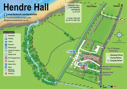
Coastal camping, touring and glamping map with a railway-side layout, beach path and illustrated rural surroundings.
 Explore the map ↗
United Kingdom
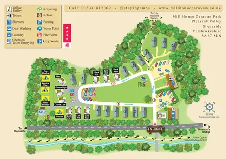
A tree-framed mixed-accommodation park map with a central green, service icons and coastal walking connections.
 Explore the map ↗
United Kingdom
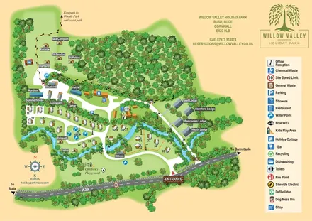
A woodland-valley park map combining named glamping stays, numbered pitches, riverside lodges and footprint-marked walking routes.
Features may come from the sample artwork, its key or published park information. Approximate numbers describe the drawing and may cover only part of a park. They are intended to help you compare map examples. Current facilities and booking information should be checked with the park.
LET’S MAP YOUR PARK
For a map quotation, find your park and draw a rough boundary around it. The area you select helps us work out the design time and price.
Draw your park for a quote ↗Or talk to our map designers
01751 473136