
Wildlife lake
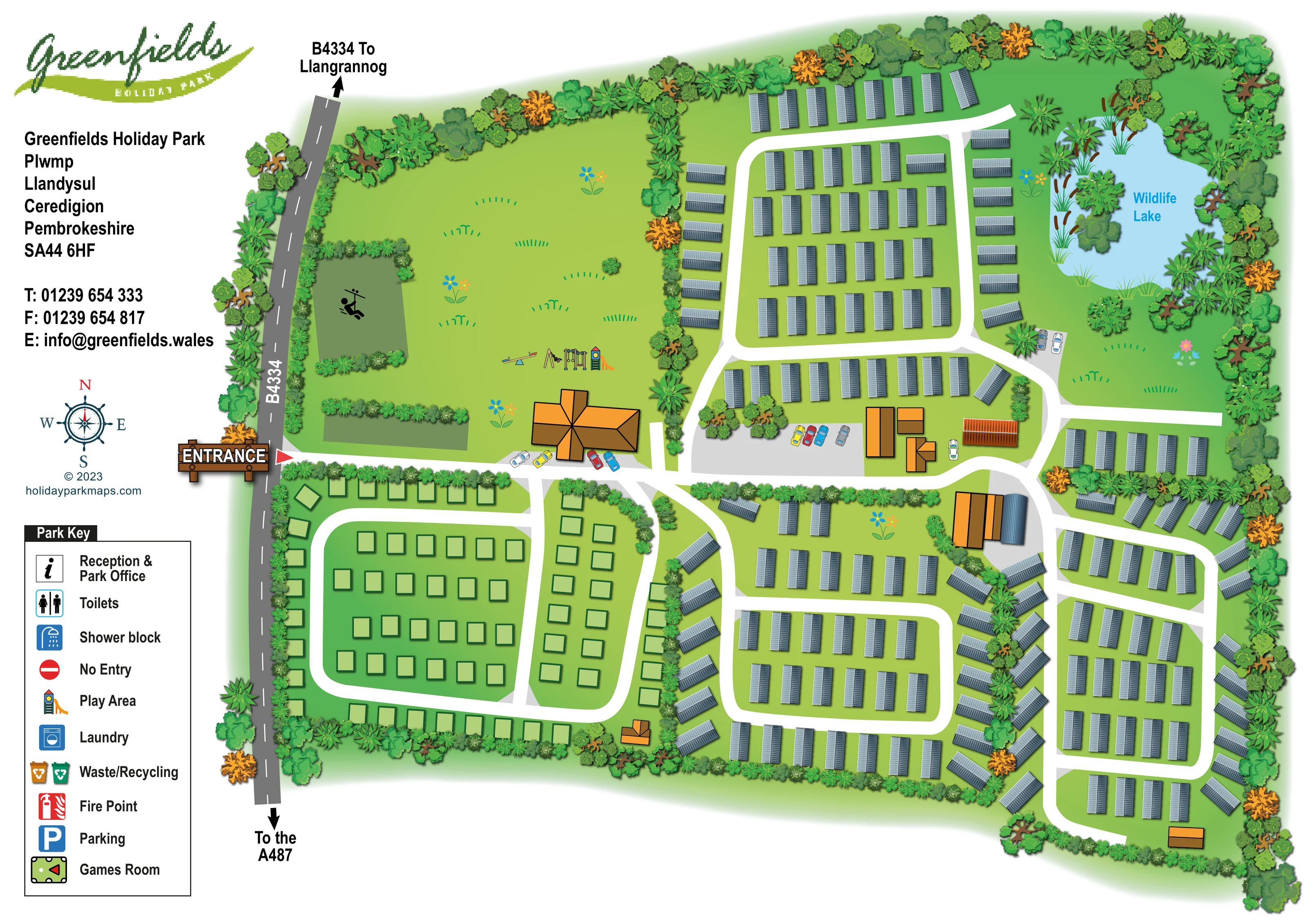
A named pale-blue lake in the north-east, illustrated with an irregular shoreline, reeds, trees and a small vegetated island.
ILLUSTRATED PARK MAP · P142
Greenfields Holiday Park, Plwmp, Llandysul, Ceredigion, Pembrokeshire · United Kingdom
 Enlarge the map ↗
A SENSE OF THE PLACE
Greenfields Holiday Park is based at Plwmp, Llandysul, Ceredigion, Pembrokeshire. The operator places the park a few minutes from the West Wales coast. Static holiday homes and seasonal touring pitches are advertised.
An indoor heated swimming pool is listed. The park provides a bar and restaurant.
LOOK CLOSER
A named pale-blue lake in the north-east, illustrated with an irregular shoreline, reeds, trees and a small vegetated island.
Dense illustrated planting encloses the park and separates several accommodation sections, with mixed tree shapes and occasional orange foliage.
A large open green area lies north of the entrance, containing play equipment and a separate hedge-framed rectangle with an activity silhouette.
A seesaw, swings and a climbing tower with slide are illustrated on the open lawn near the entrance-side buildings. Play Area also appears in the key.
The entrance is prominently marked on the western boundary beside the B4334, using a timber-style sign and red triangular pointer.
The grey road along the western edge is labelled B4334, with arrows towards Llangrannog at the top and the A487 at the bottom.
Broad white roads connect the entrance to rounded accommodation loops, perimeter rows and branching routes through the eastern section.
Illustrated cars and grey hardstanding indicate parking around the central building group, beside the entrance-side building and near the wildlife lake.
A named pale-blue lake in the north-east, illustrated with an irregular shoreline, reeds, trees and a small vegetated island.
Dense illustrated planting encloses the park and separates several accommodation sections, with mixed tree shapes and occasional orange foliage.
A large open green area lies north of the entrance, containing play equipment and a separate hedge-framed rectangle with an activity silhouette.
A seesaw, swings and a climbing tower with slide are illustrated on the open lawn near the entrance-side buildings. Play Area also appears in the key.
The entrance is prominently marked on the western boundary beside the B4334, using a timber-style sign and red triangular pointer.
The grey road along the western edge is labelled B4334, with arrows towards Llangrannog at the top and the A487 at the bottom.
Broad white roads connect the entrance to rounded accommodation loops, perimeter rows and branching routes through the eastern section.
Illustrated cars and grey hardstanding indicate parking around the central building group, beside the entrance-side building and near the wildlife lake.
Several orange-and-brown roofed buildings stand beside the entrance route and central junctions. Their individual functions are not labelled on the plan.
Listed in the Park Key with an information symbol; no corresponding location marker is visible on the plan.
Separate toilet and shower symbols appear in the key, without clearly positioned matching markers in the park illustration.
A washing-machine symbol identifies laundry in the key; its building location is not marked.
Paired orange and green bin symbols appear in the key, but collection-point positions are not shown.
A red extinguisher symbol is included in the key without visible matching markers around the site.
Listed with a pool-table-style icon in the key; no games-room location is identified on the plan.
The key includes a red no-entry symbol, but no restriction point is visibly marked on the internal roads.
Listed in the supplied operator information, but not labelled or otherwise identifiable in this artwork.
Recorded in the supplied park information; the map does not identify a particular building as the bar or restaurant.
READING THE MAP
This illustrated map of Greenfields Holiday Park at Plwmp, near Llandysul in West Wales, brings together accommodation, arrival routes and landscaped surroundings in a single overhead plan. A tree-lined boundary encloses the site, while broad white roads divide the accommodation into clearly recognisable sections. Grey-roofed static holiday homes cover much of the northern and eastern areas; pale-green pitch rectangles distinguish the touring-style section near the western entrance.
The wildlife lake is a prominent feature in the north-east, drawn with reeds, an irregular shoreline and a small planted island. At the opposite side of the park, an open recreation lawn and colourful play equipment give the entrance area a different character. Orange-roofed shared buildings and illustrated parking areas provide further landmarks around the main junctions.
The page combines the site illustration with Greenfields branding, a contact panel, compass and boxed facility key. Road arrows towards Llangrannog and the A487 place the entrance in its local context, making this a useful example of a mixed-accommodation park map with strong landscape features.
The plan is arranged around an entrance from the B4334 on the western edge. A timber-style entrance sign and red pointer make this starting point conspicuous, while arrows along the external road indicate Llangrannog to the north and the A487 to the south. The entrance road leads past open green space and an orange-roofed building before joining the wider internal network.
South of the arrival route, outlined pale-green pitches sit within a rounded road loop and an adjoining narrow section. Across the northern and eastern parts of the park, repeated grey-roofed holiday-home symbols form parallel rows and edge-facing groups. White roads separate these clusters, with trees and hedges reinforcing the divisions. Several orange-and-brown buildings and areas of grey hardstanding punctuate the central junctions, accompanied by small coloured cars.
Landscape provides the strongest landmarks. The north-western lawn contains illustrated swings, a seesaw and a slide tower, alongside a separate hedge-framed activity area. In the north-east, the labelled Wildlife Lake has a pale-blue surface, reed-lined margins and a vegetated island. Dense planting wraps around the outer boundary, with occasional orange foliage adding variation.
A white column on the left contains the Greenfields logo, park details, decorative compass and Park Key. The key names reception, toilets, showers, laundry, waste/recycling, fire points, parking, a games room, play area and no entry. Most of these symbols are not placed within the illustration, so the drawing communicates the park's overall arrangement more directly than precise facility destinations. Individual pitches are unnumbered. The enlarged detail view repeats the same artwork, showing the key and south-western pitch treatment more clearly rather than introducing a separate map.
KEEP EXPLORING
Chosen for shared landscapes, accommodation or facilities.
 Explore the map ↗
United Kingdom
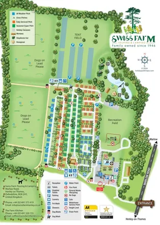
Portrait park map with colour-coded touring pitches, lakeside glamping and clearly grouped visitor facilities.
 Explore the map ↗
United Kingdom
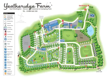
Colour-coded pitches, farm facilities and lakeside walking connections at Yeatheridge Farm, Devon.
 Explore the map ↗
France
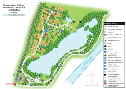
Bilingual lakeside campsite map with numbered pitches, recreation areas and colour-coded service points.
Features may come from the sample artwork, its key or published park information. Approximate numbers describe the drawing and may cover only part of a park. They are intended to help you compare map examples. Current facilities and booking information should be checked with the park.
LET’S MAP YOUR PARK
For a map quotation, find your park and draw a rough boundary around it. The area you select helps us work out the design time and price.
Draw your park for a quote ↗Or talk to our map designers
01751 473136