
Wooded grounds
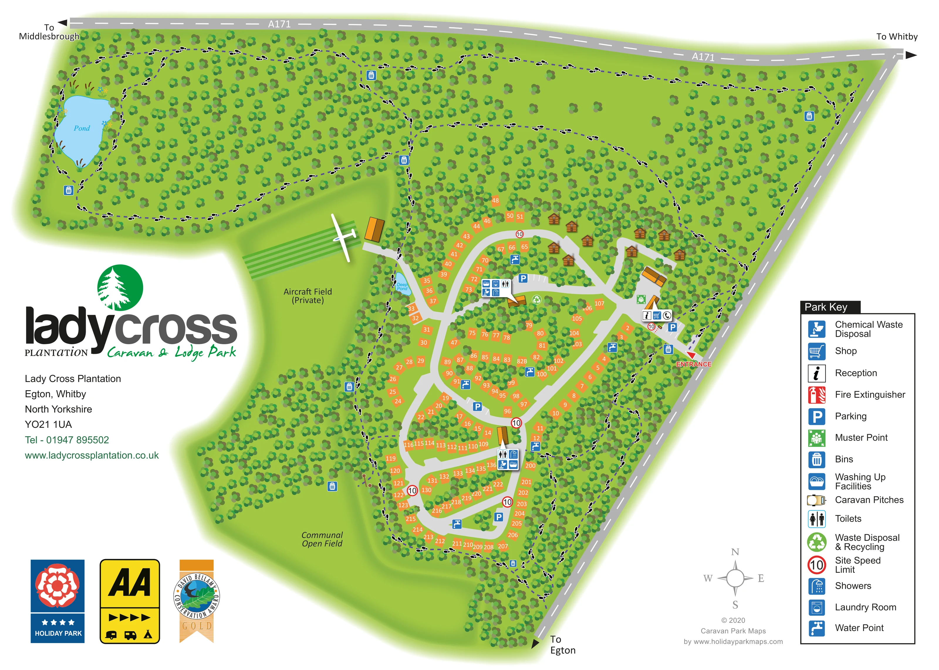
Dense repeated tree symbols surround the accommodation, form internal buffers and occupy much of the northern and western grounds.
ILLUSTRATED PARK MAP · P517
Lady Cross Plantation, Egton, Whitby, North Yorkshire · United Kingdom
 Enlarge the map ↗
A SENSE OF THE PLACE
Ladycross is a family-owned lodge and touring park in mature woodland near Egton and Whitby. Hardstanding and serviced pitches accommodate caravans and motorhomes, with holiday lodges available for ownership.
Woodland walks lead to a pond and open space for families and pets. Its North York Moors setting offers a quieter base close to the Yorkshire coast, and the map helps visitors navigate the wooded grounds.
LOOK CLOSER
Dense repeated tree symbols surround the accommodation, form internal buffers and occupy much of the northern and western grounds.
A large blue pond with reeds and marginal plants sits in the north-western woodland, encircled by a walking route.
A smaller water feature labelled Deep Pond lies beside the western edge of the pitch area.
A broad open green area lies south-west of the accommodation, bordered by woodland and walking routes.
An open area west of the pitches is explicitly labelled private and illustrated with an aircraft, parallel green strips and a nearby building.
Information symbol at the arrival buildings just inside the eastern entrance.
Shopping-trolley symbol beside reception in the entrance area.
Blue parking symbols and marked bays appear near reception, the northern facilities and the internal pitch loops.
Information symbol at the arrival buildings just inside the eastern entrance.
Shopping-trolley symbol beside reception in the entrance area.
Blue parking symbols and marked bays appear near reception, the northern facilities and the internal pitch loops.
Grouped amenity symbols identify facilities in both the upper and lower parts of the accommodation area.
Laundry symbols form part of the mapped amenity clusters.
Dishwashing symbols accompany the other facilities at the amenity clusters.
Repeated blue tap symbols are distributed through the pitch areas.
Disposal symbols are shown alongside the amenity facilities.
Bins are marked around the grounds and woodland routes; green recycling symbols appear near the northern service area.
Green assembly-point symbols appear around the reception and northern building area.
The key includes a red fire-extinguisher symbol; a corresponding position is not clearly identifiable on the plan.
Red-ringed signs bearing 10 recur at the entrance and along the internal roads.
Dense repeated tree symbols surround the accommodation, form internal buffers and occupy much of the northern and western grounds.
Purple dashed routes with black footprint markers loop through the woodland, around the pond and along the accommodation perimeter.
A large blue pond with reeds and marginal plants sits in the north-western woodland, encircled by a walking route.
A smaller water feature labelled Deep Pond lies beside the western edge of the pitch area.
A broad open green area lies south-west of the accommodation, bordered by woodland and walking routes.
An open area west of the pitches is explicitly labelled private and illustrated with an aircraft, parallel green strips and a nearby building.
A red triangular marker and ENTRANCE label identify access from the road along the eastern boundary.
The A171 follows the northern boundary, with directions to Middlesbrough and Whitby; the eastern road continues towards Egton.
A grey compass rose in the lower-right margin establishes north towards the top of the page.
READING THE MAP
This illustrated map of Ladycross Plantation Caravan & Lodge Park places its wooded setting at the centre of the visitor experience. Located at Egton, near Whitby in North Yorkshire, the park is shown as a network of touring pitches, a small lodge cluster and shared facilities within extensive green grounds. Orange numbered pitches stand out against the trees, while brown lodge illustrations distinguish the accommodation along the northern access road.
The map gives equal attention to getting around and exploring. Grey internal roads connect the eastern entrance and reception with the pitch areas, while purple dashed paths and footprint symbols trace woodland walks, including a circuit around the large pond. A communal open field and a separately labelled private aircraft field give the western side of the plan a distinctive character.
Prominent Ladycross branding occupies the left-hand margin, balanced by a practical facility key on the right. The result is a sample particularly relevant to wooded touring and lodge parks that need to explain both their accommodation layout and their wider walking grounds on one page.
The single-page plan follows an irregular site bounded by the A171 across the north and a road towards Egton on the east. Direction arrows identify Whitby and Middlesbrough, while a red entrance marker draws attention to the arrival point partway down the eastern boundary. Reception, shop and parking symbols sit immediately inside this entrance, beside a small group of illustrated buildings.
From here, broad grey roads branch north towards the lodges and continue through the touring area in connected curves and loops. Orange pitch shapes carry white numbers, making them easy to distinguish from the surrounding green tree canopy. Trees also break up the accommodation into smaller groups rather than presenting it as one continuous field of plots. The lodges use brown, pitched-roof illustrations, giving that northern cluster a different visual identity.
Amenity symbols are grouped in the upper and lower accommodation areas, identifying toilets, showers, laundry, washing-up and chemical waste disposal. Water points and parking appear at further locations, with bins, recycling and muster-point symbols also marked. Red-ringed speed signs punctuate the internal roads.
Beyond the pitches, purple dashed paths with footprint markers form a woodland network. A large blue pond with reeds occupies the north-western corner, and a smaller feature labelled Deep Pond lies beside the western pitch boundary. The communal open field sits to the south-west; above it, the private aircraft field is distinguished by an aircraft illustration and parallel green strips.
The right-hand Park Key explains the pictograms, with a compass below the plan. The enlarged detail is a closer view of this same artwork, clarifying the entrance and legend rather than adding another section or variant.
KEEP EXPLORING
Chosen for shared landscapes, accommodation or facilities.
 Explore the map ↗
United Kingdom
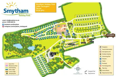
Woodland holiday-park map with named accommodation areas, touring loops and illustrated recreation facilities.
 Explore the map ↗
United Kingdom
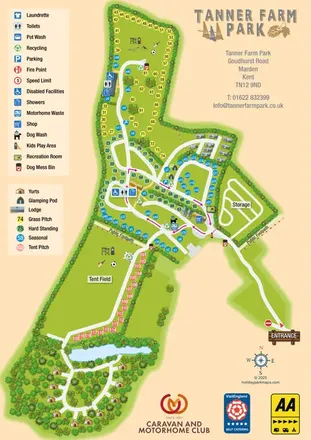
Colour-coded accommodation, woodland ponds and a Tarka Trail footpath on Smytham’s illustrated park map.
 Explore the map ↗
United Kingdom
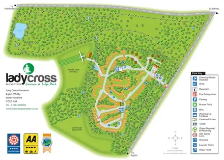
Colour-coded pitches, central facilities and woodland yurts on Tanner Farm Park's illustrated visitor map.
Features may come from the sample artwork, its key or published park information. Approximate numbers describe the drawing and may cover only part of a park. They are intended to help you compare map examples. Current facilities and booking information should be checked with the park.
TAKE A CLOSER LOOK
View the illustrated map in detail or choose a file to download. These are sample maps; contact the park for current visitor information.

LET’S MAP YOUR PARK
For a map quotation, find your park and draw a rough boundary around it. The area you select helps us work out the design time and price.
Draw your park for a quote ↗Or talk to our map designers
01751 473136