
 Explore the map ↗
United Kingdom
59 Degrees North
Illustrated Sanday aire map with a seasonal maze, café barn and motorhome service area.
THE HOLIDAY PARK MAP COLLECTION
Browse map examples with motorhome accommodation recorded in the collected information.
← Explore the whole collectionCombine a country, landscape, facilities and accommodation type to find relevant examples.
Showing 1–24 of 121 · Select a map to read its story
Explore the map ↗United Kingdom
Illustrated Sanday aire map with a seasonal maze, café barn and motorhome service area.
 Explore the map ↗
United Kingdom
A woodland touring-park map with colour-coded pitches, a stream and footprint-marked walks.
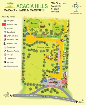 Explore the map ↗
Australia
A tropical roadside park map with caravan/RV strips, open camping, an edible garden and a prominent Stuart Highway entrance.
 Explore the map ↗
United Kingdom
Colour-coded campsite map with riverside pitches, bell tents, a swimming pool and fishing lake.
 Explore the map ↗
United Kingdom
Coastal park map with static-caravan rows, touring pitches, a camping field and two leisure clusters.
 Explore the map ↗
United Kingdom
A wooded Allerton park plan with colour-coded neighbourhoods, touring pitches and a central facilities hub.
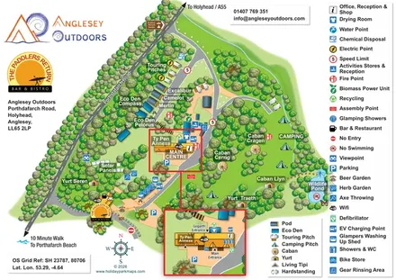 Explore the map ↗
United Kingdom
Illustrated camping and glamping map with an activity-centre inset and wildlife pond.
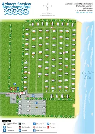 Explore the map ↗
Ireland
Coastal motorhome park map with lettered grass rows, entrance services and an illustrated Celtic Sea shoreline.
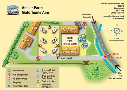 Explore the map ↗
United Kingdom
Illustrated motorhome aire map with farm buildings, service facilities and A841 arrival directions.
 Explore the map ↗
United Kingdom
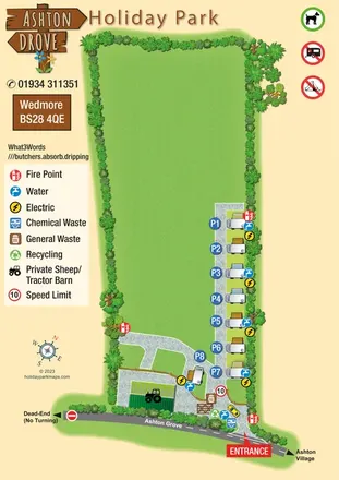
Illustrated Somerset motorhome park map with numbered pitches, service points and clear arrival-road annotations.
 Explore the map ↗
United Kingdom
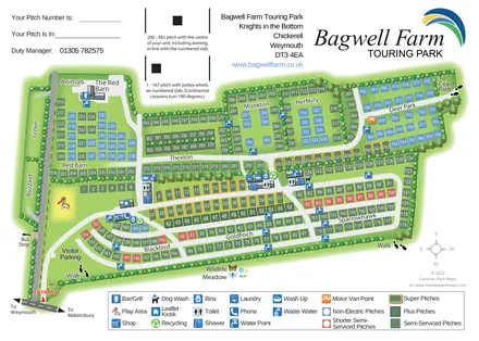
A colour-coded touring park plan with named pitch areas, service symbols and Coast Path links.
 Explore the map ↗
United Kingdom
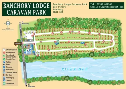
A tree-framed riverside park map with numbered caravans, linked road loops and a compact entrance facilities key.
 Explore the map ↗
United Kingdom
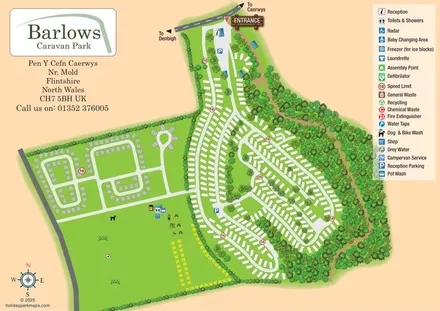
Overhead caravan-park map with wooded boundaries, contrasting pitch loops and a large recreation field.
 Explore the map ↗
United Kingdom
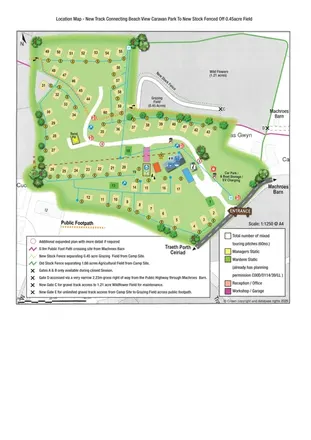
Illustrated touring-park plan with facilities, public footpaths and adjoining field-access details.
 Explore the map ↗
United Kingdom
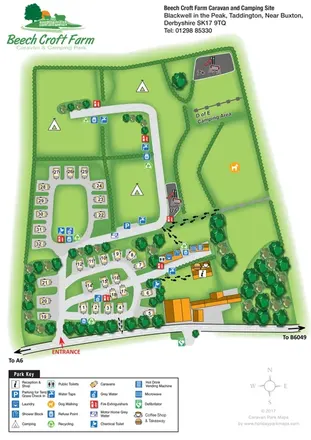
Illustrated touring and camping map with hedge-divided fields, age-labelled play areas and a detailed service key.
 Explore the map ↗
United Kingdom
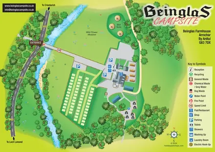
Riverside campsite map with a bridge entrance, wild flower meadow, bell tents and wooded hut paths.
 Explore the map ↗
United States
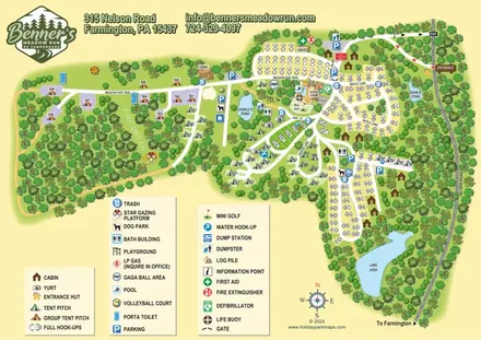
Woodland RV campground map with mixed camping, three water landmarks and a central recreation hub.
 Explore the map ↗
United Kingdom
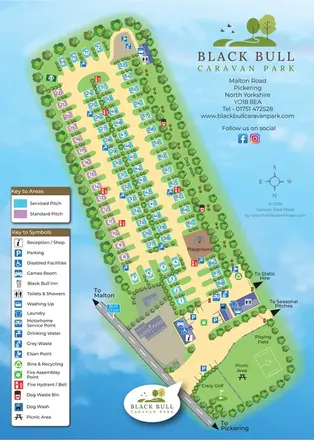
Colour-coded touring-park plan for Black Bull, with numbered pitches, a paw-print dog walk, service icons and entrance recreation areas, paired with a visitor-information reverse.
 Explore the map ↗
United Kingdom
Woodland park map with mixed pitches, bell tents, lodges and a fishing lake.
 Explore the map ↗
United Kingdom
A wooded, streamside park map with a linked farm, café, touring and cottage area.
 Explore the map ↗
United Kingdom
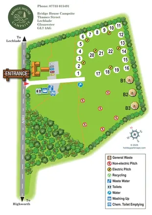
Leafy campsite map with numbered electric pitches, open camping and a prominent illustrated entrance.
 Explore the map ↗
United Kingdom
Tree-framed mixed-accommodation park map with two entrances, touring loops and a clearly illustrated social hub.
 Explore the map ↗
United Kingdom
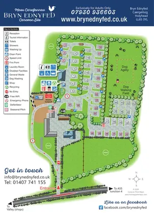
Illustrated Anglesey caravan site map with seasonal pitch colours, facility callouts and a dog agility field.
 Explore the map ↗
United Kingdom
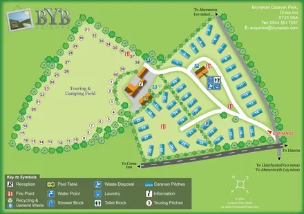
A tree-lined touring field and blue caravan plots linked by curving roads and clearly marked shared facilities.
LET’S MAP YOUR PARK
For a map quotation, find your park and draw a rough boundary around it. The area you select helps us work out the design time and price.
Draw your park for a quote ↗Or talk to our map designers
01751 473136