
Lake Ullswater
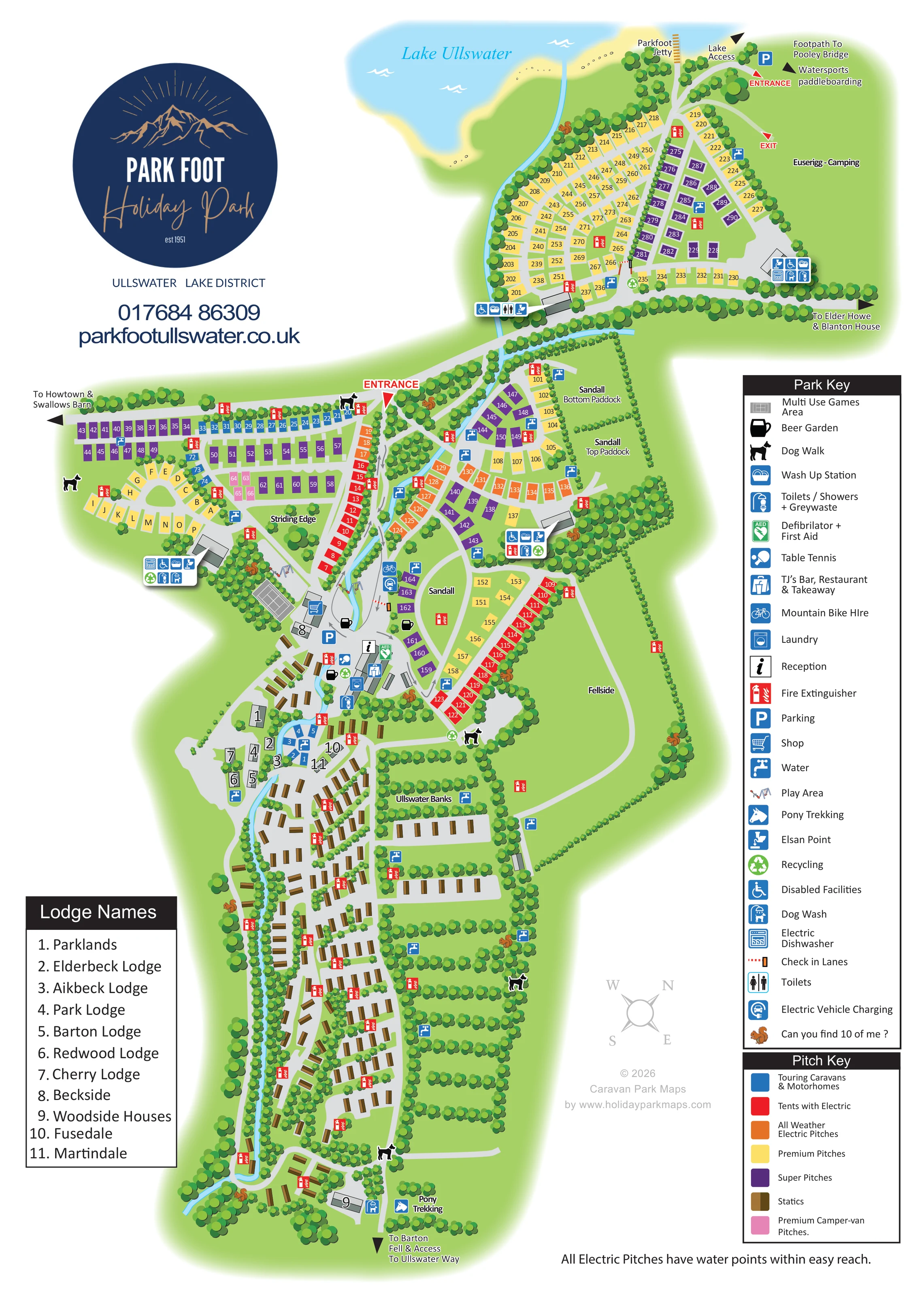
The lake forms the upper edge of the artwork, with blue water and a pale shoreline.
ILLUSTRATED PARK MAP · P241
Howtown Road, Pooley Bridge, Penrith, Cumbria · United Kingdom
 Enlarge the map ↗
A SENSE OF THE PLACE
Park Foot Caravan & Camping Park is based at Howtown Road, Pooley Bridge, Penrith, Cumbria. The camping and touring park is beside Ullswater near Pooley Bridge. The park offers tent and touring pitches plus self-catering lodges, cabins and cottages.
Wi-Fi is free in TJ's and self-catering properties; campsite-field Wi-Fi is chargeable. TJ's restaurant/bar, laundry, washrooms, shop and children's play facilities are listed. Dogs are welcomed, including in TJ's, and dog-walking areas are provided.
LOOK CLOSER
The lake forms the upper edge of the artwork, with blue water and a pale shoreline.
A narrow blue stream runs through the park towards Ullswater. Dense tree belts frame roads, pitches and open paddocks.
Labels distinguish Striding Edge, Sandall, Sandall Bottom Paddock, Sandall Top Paddock, Fellside, Ullswater Banks and Euserigg camping.
Reception is marked in the central service cluster, with check-in lanes shown on the approach.
The keyed food-and-drink symbol appears at the central amenities buildings.
Beer-mug symbols identify outdoor seating areas around the central hub.
A shopping-trolley symbol marks the shop beside the principal amenities area.
Grouped service symbols identify toilets, showers, greywaste, wash-up stations, laundry, electric dishwashers and disabled facilities at several amenity blocks. These are mapped facility labels, not an accessibility guarantee.
Reception is marked in the central service cluster, with check-in lanes shown on the approach.
The keyed food-and-drink symbol appears at the central amenities buildings.
Beer-mug symbols identify outdoor seating areas around the central hub.
A shopping-trolley symbol marks the shop beside the principal amenities area.
Grouped service symbols identify toilets, showers, greywaste, wash-up stations, laundry, electric dishwashers and disabled facilities at several amenity blocks. These are mapped facility labels, not an accessibility guarantee.
Water taps, Elsan points and recycling symbols are distributed through the accommodation areas.
A footer states that all electric pitches have water points within easy reach.
Small illustrated play structures appear on either side of the stream near the central facilities.
A grey marked court is drawn beside the western play area and central hub.
The table-tennis symbol is positioned within the central recreation and amenities cluster.
A bicycle symbol marks mountain bike hire on the eastern side of the central approach.
Pony trekking is labelled at the bottom of the plan beside the route towards Barton Fell.
Black dog symbols mark walking areas around the grounds, while dog-wash symbols appear at service locations.
An electric vehicle charging symbol is shown beside the central eastern pitch area.
Parking symbols identify spaces at the central hub and near the lakeside entrance.
First aid and defibrillator provision is marked at the central facilities; red fire-extinguisher symbols recur throughout the plan.
The lake forms the upper edge of the artwork, with blue water and a pale shoreline.
The jetty and a lake-access route are labelled beside the northern entrance.
A labelled arrow near the lakeside entrance points towards watersports and paddleboarding rather than depicting a detailed activity facility.
A narrow blue stream runs through the park towards Ullswater. Dense tree belts frame roads, pitches and open paddocks.
Labels distinguish Striding Edge, Sandall, Sandall Bottom Paddock, Sandall Top Paddock, Fellside, Ullswater Banks and Euserigg camping.
Red labels identify the main central entrance and separate entrance and exit points beside the lake.
A directional arrow identifies the footpath towards Pooley Bridge at the lakeside edge.
A southern arrow indicates the route towards Barton Fell and access to the Ullswater Way.
Arrows point towards Howtown and Swallows Barn, and towards Elder Howe and Blanton House. These destinations are not additional accommodation depicted within the plan.
Small squirrel illustrations are hidden around the grounds, with a matching challenge in the Park Key. This is an activity embedded in the artwork rather than a separately mapped physical attraction.
READING THE MAP
This illustrated map of Park Foot Holiday Park brings together lakeside camping, touring pitches, static caravans and named self-catering properties in one portrait-format plan. Set beside Ullswater near Pooley Bridge in Cumbria, the park has an elongated footprint, with accommodation areas spreading from the lakeshore through tree-lined grounds towards Barton Fell.
The design makes that varied layout readable through a strong colour-coded pitch system, clearly marked entrances and a central cluster of visitor facilities. Red, yellow, purple, blue, orange and pink pitch blocks distinguish different camping and touring options, while brown caravan symbols give the extensive static areas a separate visual identity. A narrow stream provides a useful landscape thread through the plan.
The map also connects a stay at the park with its surroundings: lake access, Parkfoot Jetty, the footpath to Pooley Bridge and the route towards the Ullswater Way are all labelled. A prominent Park Foot logo, detailed facility key and named-property list complete the page, while hidden squirrel illustrations introduce a small family activity within the practical visitor map.
The single portrait artwork places Lake Ullswater across its upper edge, with a pale shoreline, Parkfoot Jetty and a marked lake-access route. Immediately below is a densely organised pitch area, bordered by trees and connected to Euserigg camping. Its own entrance and exit are labelled, alongside directions towards Pooley Bridge, watersports and paddleboarding.
A tree-lined connecting road leads to the main entrance and central park hub. To the left, the Striding Edge area combines rows of coloured pitches with a curved, lettered group. To the right, Sandall and its top and bottom paddocks form a second arrangement of pitches and open green space. Fellside occupies a larger open area farther down this side of the plan.
Around the central buildings, symbols identify reception, check-in lanes, TJ’s Bar, Restaurant & Takeaway, the shop, beer gardens and parking. Nearby recreation includes illustrated play equipment, a Multi Use Games Area, table tennis and mountain bike hire. Washroom blocks are shown through grouped symbols for toilets, showers, washing facilities and waste services; water, recycling and fire points recur across the grounds. Dog-walking locations, dog washes and electric vehicle charging are also marked.
The lower half changes character, using repeated brown static-caravan symbols along branching roads and the stream. Numbered self-catering buildings connect to a separate Lodge Names panel, while Ullswater Banks labels another accommodation section. At the bottom, pony trekking and an outward route towards Barton Fell and the Ullswater Way extend the visitor picture beyond the pitches. The facility key, seven-colour pitch key and hidden-squirrel challenge complete this one-page design.
KEEP EXPLORING
Chosen for shared landscapes, accommodation or facilities.
 Explore the map ↗
United Kingdom
Woodland park map with mixed pitches, bell tents, lodges and a fishing lake.
 Explore the map ↗
United Kingdom
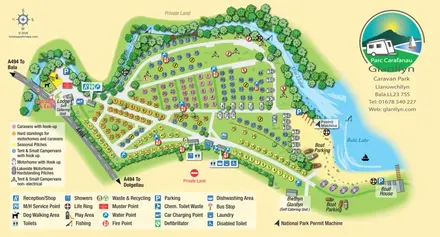
Colour-coded touring and camping map beside Afon Llafar and Bala Lake, with bilingual Glanllyn branding.
 Explore the map ↗
United Kingdom
A lakeside holiday-park and fishery map with numbered accommodation, fishing positions and clearly grouped visitor services.
Features may come from the sample artwork, its key or published park information. Approximate numbers describe the drawing and may cover only part of a park. They are intended to help you compare map examples. Current facilities and booking information should be checked with the park.
TAKE A CLOSER LOOK
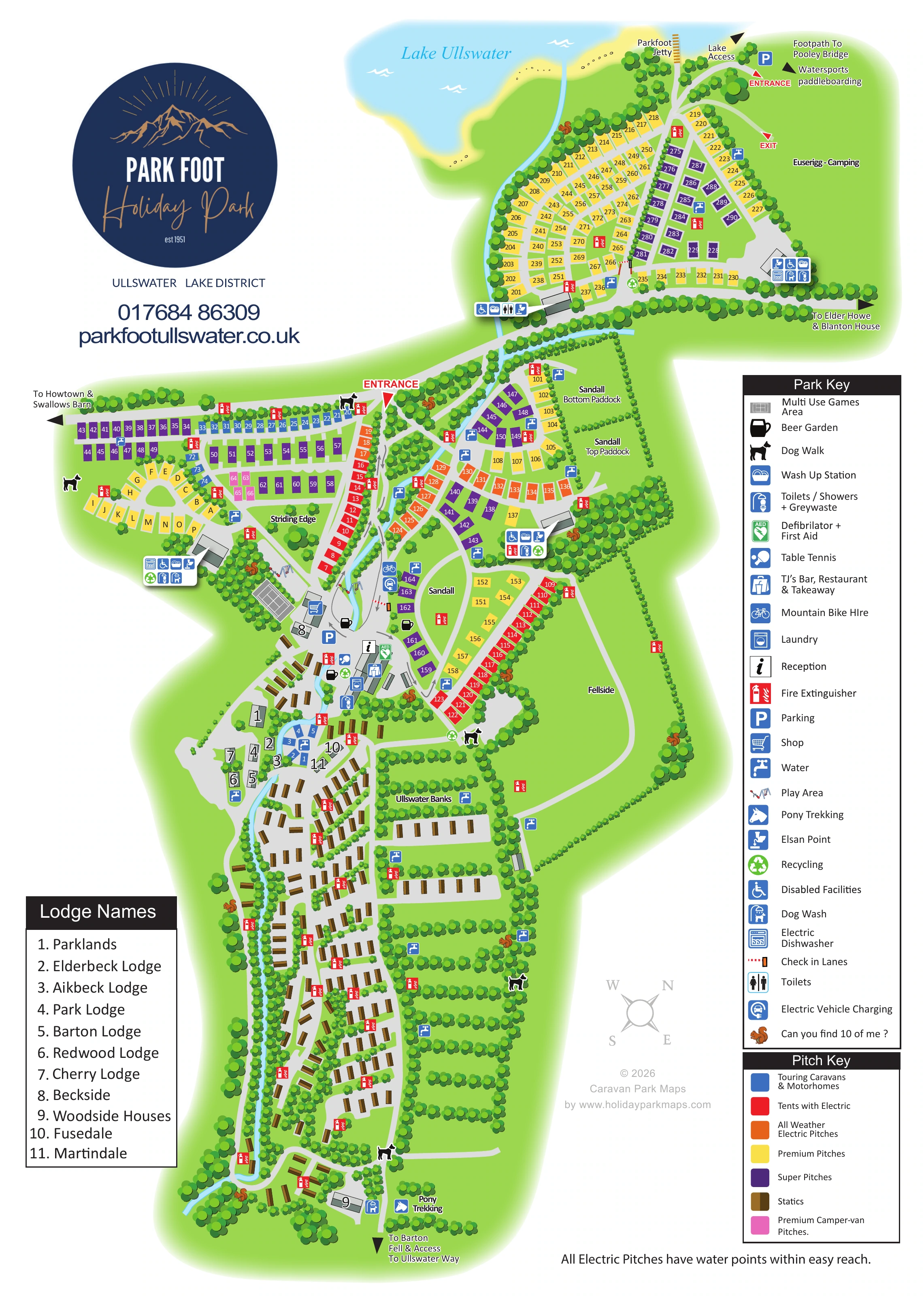
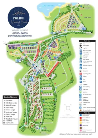
View the illustrated map in detail or choose a file to download. These are sample maps; contact the park for current visitor information.


LET’S MAP YOUR PARK
For a map quotation, find your park and draw a rough boundary around it. The area you select helps us work out the design time and price.
Draw your park for a quote ↗Or talk to our map designers
01751 473136
 parkfootjulya_Page_1.png
 parkfootjulya_Page_2.png