
Beach and coastal water
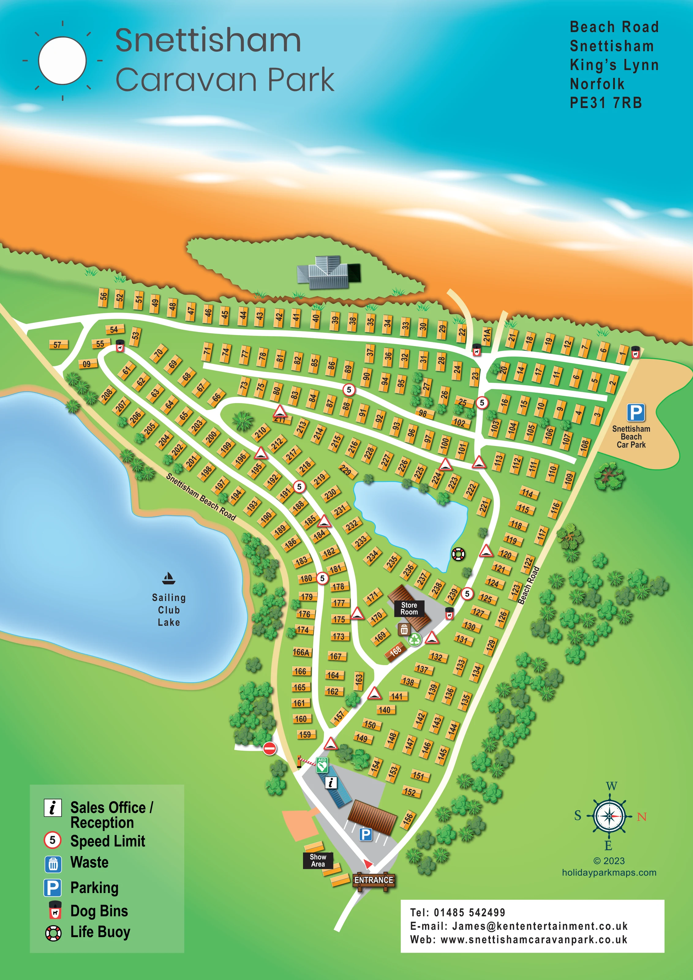
A broad orange beach and turquoise coastal water extend across the top of the page, with white surf effects and a grassy patch containing an unlabelled building.
ILLUSTRATED PARK MAP · P306
Beach Road, Snettisham, King's Lynn, Norfolk · United Kingdom
 Enlarge the map ↗
A SENSE OF THE PLACE
Snettisham Holiday Park is based at Beach Road, Snettisham, King's Lynn, Norfolk. Snettisham is an owners-only holiday-home park.
Pebbles Coffee Bar is listed among the park's amenities. The park is on the West Norfolk coast with beach access and proximity to RSPB Snettisham.
LOOK CLOSER
A broad orange beach and turquoise coastal water extend across the top of the page, with white surf effects and a grassy patch containing an unlabelled building.
The large adjoining lake occupies the left side of the plan and is identified by a sailboat pictogram and a prominent label.
An unlabelled irregular blue waterbody sits within a ring of caravan rows near the middle of the park.
Dense illustrated planting follows the lake-facing and Beach Road edges, with scattered trees between accommodation rows.
An information symbol identifies the blue-roofed building in the entrance forecourt.
A labelled group of display caravans sits beside the entrance approach.
A brown-roofed building is labelled below the smaller central waterbody, beside an internal road junction.
Parking is marked in the entrance forecourt and at the separately labelled Snettisham Beach Car Park along the outer road.
An information symbol identifies the blue-roofed building in the entrance forecourt.
A labelled group of display caravans sits beside the entrance approach.
A brown-roofed building is labelled below the smaller central waterbody, beside an internal road junction.
Parking is marked in the entrance forecourt and at the separately labelled Snettisham Beach Car Park along the outer road.
Waste-bin and recycling symbols appear beside the store room.
Repeated dog-bin symbols mark points along the beach-facing road and near the store room.
A life-buoy symbol is positioned beside the smaller waterbody within the accommodation layout.
A green AED symbol is shown beside reception and the entrance barrier.
A broad orange beach and turquoise coastal water extend across the top of the page, with white surf effects and a grassy patch containing an unlabelled building.
The large adjoining lake occupies the left side of the plan and is identified by a sailboat pictogram and a prominent label.
An unlabelled irregular blue waterbody sits within a ring of caravan rows near the middle of the park.
Dense illustrated planting follows the lake-facing and Beach Road edges, with scattered trees between accommodation rows.
A wooden-style entrance sign marks the bottom approach; a red-and-white barrier is drawn beside reception further inside.
Named pale-tan outer roads frame the accommodation. White internal lanes connect the rows, while short pale routes extend from the beach-facing lane towards the shore.
Circular 5 speed-limit signs and triangular hump symbols recur along internal roads. A no-entry symbol appears on a short spur near reception, and a directional arrow marks the entrance forecourt.
Listed in the park context, but not named or located on this artwork.
The park's wider coastal context includes proximity to RSPB Snettisham; the reserve is not depicted or signposted on this plan.
READING THE MAP
This illustrated map of Snettisham Holiday Park places its West Norfolk coastal setting at the centre of the design. Titled Snettisham Caravan Park on the artwork, the portrait plan combines a broad beach frontage with the adjoining Sailing Club Lake and a smaller waterbody among the holiday homes. Turquoise water, orange sand and green grounds give these major landmarks a clear visual hierarchy, while numbered orange caravan symbols keep the accommodation easy to distinguish.
The park opens out from an entrance at the foot of the page into a network of white lanes, curved lakeside rows and straighter rows facing the shore. Reception, parking and a sales show area establish the arrival sequence; the store room, waste and recycling point, dog bins and waterside life buoy add practical detail further inside. A compact legend supports the symbols without taking over the plan.
For a designer's gallery, this is a useful example of a substantial static-caravan park map that combines individual home identification, sales-related destinations and coastal character in one continuous illustration.
The single portrait artwork presents the park as a tapering layout between coastal water across the top, the large Sailing Club Lake on the left and Beach Road along the right. The beach is not merely a label: orange sand, pale shoreline gradients and white surf strokes occupy much of the upper composition. A small grassy patch and an unlabelled roofed building provide another visual landmark along this edge.
At the bottom, a wooden-style ENTRANCE sign leads into a grey forecourt. The blue-roofed sales office and reception is identified by an information symbol, with an AED marker and illustrated barrier nearby. Parking bays sit beside a brown-roofed building, and display caravans are grouped around the labelled Show Area. From here, white internal lanes branch into long curves, short cross-links and parallel rows towards the beach.
Accommodation symbols are rotated to match their position beside each road. Angled rows follow Snettisham Beach Road beside the large lake, while another group wraps around the smaller, unlabelled waterbody. A life-buoy symbol marks its road-facing bank. Below it, the Store Room is shown beside waste and recycling symbols. Repeated dog-bin, circular 5 speed-limit and triangular hump markers supply additional wayfinding detail. The separately labelled Snettisham Beach Car Park sits outside the accommodation rows on the right.
Trees form substantial belts along the outer roads and lake edge, with smaller clusters between homes. The lower-left legend, upper-right address and lower-right contact panel frame the plan. A ship's-wheel compass indicates north to the right, reinforcing the nautical theme while clarifying the unusual page orientation.
KEEP EXPLORING
Chosen for shared landscapes, accommodation or facilities.
 Explore the map ↗
United Kingdom
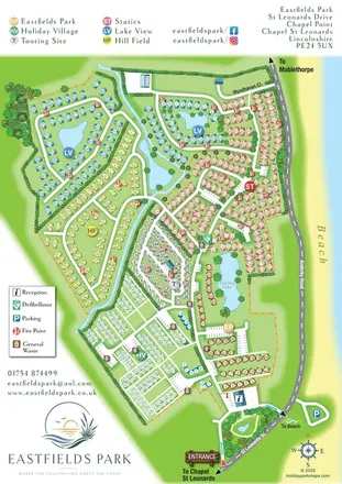
Six colour-coded neighbourhoods, lakeside layouts and coastal access on the Eastfields Park map.
 Explore the map ↗
United Kingdom
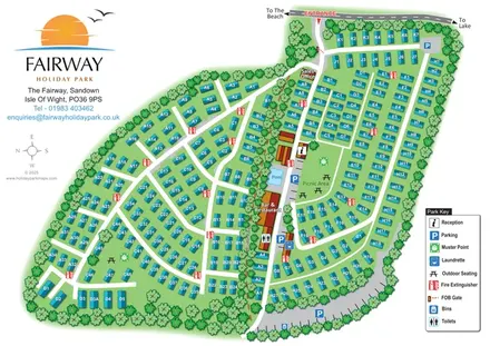
Tree-bordered caravan park plan with a central pool, picnic lawn and clearly labelled accommodation groups.
 Explore the map ↗
United Kingdom
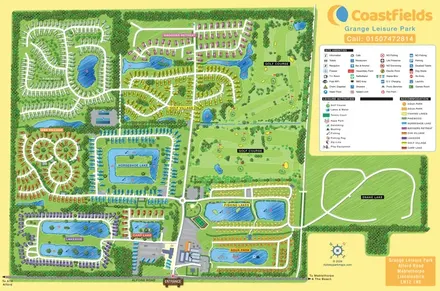
Colour-coded accommodation villages, fishing lakes, golf grounds and an Aqua Park at Grange Leisure Park.
Features may come from the sample artwork, its key or published park information. Approximate numbers describe the drawing and may cover only part of a park. They are intended to help you compare map examples. Current facilities and booking information should be checked with the park.
LET’S MAP YOUR PARK
For a map quotation, find your park and draw a rough boundary around it. The area you select helps us work out the design time and price.
Draw your park for a quote ↗Or talk to our map designers
01751 473136