
River Severn
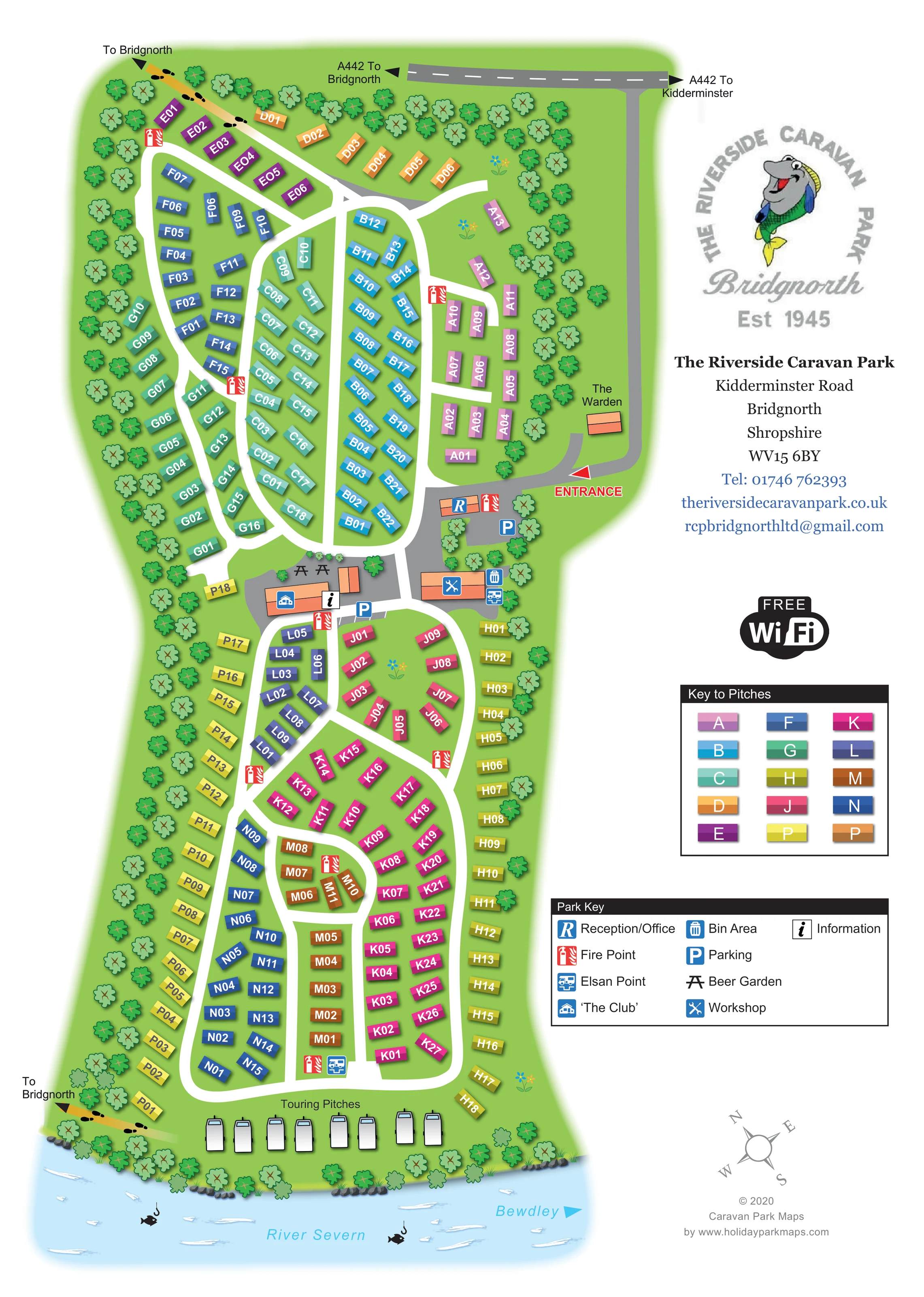
The named river forms the lower edge of the illustration, with pale blue water, white ripples and a direction towards Bewdley.
ILLUSTRATED PARK MAP · P624
Kidderminster Road, Bridgnorth, Shropshire · United Kingdom
 Enlarge the map ↗
A SENSE OF THE PLACE
The Riverside Caravan Park (Bridgnorth) is based at Kidderminster Road, Bridgnorth, Shropshire. The family-run park is beside the River Severn, within walking distance of Bridgnorth. The park offers static caravans for sale, touring pitches and rally space, with electric hook-ups.
Private coarse fishing and Wi-Fi are advertised. A licensed club has a beer garden and weekend entertainment.
LOOK CLOSER
The named river forms the lower edge of the illustration, with pale blue water, white ripples and a direction towards Bewdley.
Fish-and-hook motifs in the river reinforce the fishing theme. They do not delineate individual fishing positions.
Repeated stylised trees frame the park, with rocks and grass tufts along the riverbank and small flower motifs within the accommodation areas.
An orange building with the reception symbol sits immediately inside the entrance, beside parking and a fire point.
The main social building occupies the central facilities cluster, identified by the blue club symbol.
Picnic-table symbols mark the outdoor area behind the club.
A black information symbol is positioned beside the club building.
Blue parking symbols identify spaces near reception and beside the central club area.
An orange building with the reception symbol sits immediately inside the entrance, beside parking and a fire point.
The main social building occupies the central facilities cluster, identified by the blue club symbol.
Picnic-table symbols mark the outdoor area behind the club.
A black information symbol is positioned beside the club building.
Blue parking symbols identify spaces near reception and beside the central club area.
A separate orange building east of the club is marked with crossed tools.
A bin symbol marks the service area beside the workshop.
Chemical toilet disposal symbols appear beside the workshop and near the lower accommodation rows, above the touring area.
Repeated red fire-point symbols are distributed through the accommodation zones and central facilities area.
A small orange building labelled Warden stands beside the entrance approach.
A prominent Free WiFi badge appears in the right-hand information column; no coverage area is drawn.
The named river forms the lower edge of the illustration, with pale blue water, white ripples and a direction towards Bewdley.
Fish-and-hook motifs in the river reinforce the fishing theme. They do not delineate individual fishing positions.
Repeated stylised trees frame the park, with rocks and grass tufts along the riverbank and small flower motifs within the accommodation areas.
The A442 is shown across the top with directions to Bridgnorth and Kidderminster. A grey approach descends along the right edge to the prominently marked entrance.
Yellow routes with footprint symbols and arrows point towards Bridgnorth from the upper-left and riverside lower-left edges.
Broad white lanes form elongated loops, connecting the lettered caravan zones, central facilities and riverside touring area.
Operator information advertises private coarse fishing, adding context to the river illustration without establishing a mapped fishing boundary.
Operator information describes the club as licensed and advertises weekend entertainment; the map itself locates the club and beer garden.
READING THE MAP
This illustrated map of The Riverside Caravan Park in Bridgnorth brings a long, riverside site into a single portrait layout. The River Severn anchors the bottom of the artwork, while the A442 and clearly marked entrance explain the approach from the road. Between them, coloured caravan plots are arranged around a network of white lanes, with a separate touring area beside the river.
The design gives equal attention to finding accommodation and recognising the park’s shared facilities. Lettered pitch zones have their own colours, and a separate symbol key identifies reception, parking, fire points, Elsan points and the central club area. Picnic-table symbols locate the beer garden, while yellow paths with footprints point towards Bridgnorth.
A white information column keeps the park logo, contact details, Wi-Fi badge and legends clear of the illustrated grounds. Trees, riverbank rocks and fishing motifs add setting without obscuring the routes. The result is a useful sample for caravan parks needing to explain numerous individual plots alongside a distinctive waterfront location.
The whole plan shows an elongated park with two principal accommodation areas linked through a central group of facilities. At the top, the A442 runs across the page with arrows towards Bridgnorth and Kidderminster. A grey approach road follows the right-hand boundary, passes the labelled warden building and reaches the red entrance marker. Reception and parking sit just inside this arrival point.
White internal lanes branch into long loops through the caravan rows. Each static plot is represented by a coloured rectangular block carrying a letter-and-number identifier. The accompanying Key to Pitches repeats the zone colours, helping visitors connect an accommodation reference to the appropriate part of the site. The upper and lower rows vary in angle and spacing, following the lane geometry rather than forming a rigid grid.
The club occupies a prominent central position, with a beer garden indicated by picnic tables, an information point and nearby parking. Across the lane, a workshop and bin area form a compact service cluster. Elsan points are shown both here and towards the lower end of the park, while red fire-point symbols recur throughout the accommodation areas.
At the foot of the plan, touring caravans are illustrated beside the River Severn. A planted, rocky bank separates the green grounds from pale blue water decorated with ripples and fishing motifs. Footprint-marked paths point towards Bridgnorth from the upper-left and lower-left edges; a river arrow names Bewdley. The right-hand column contains branding, contact information, the Wi-Fi badge, legends and compass. The two detail images enlarge overlapping portions of this same artwork, rather than showing additional park sections.
KEEP EXPLORING
Chosen for shared landscapes, accommodation or facilities.
 Explore the map ↗
United Kingdom
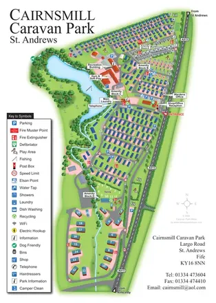
Portrait park map combining numbered caravan rows, touring and tent areas with a reservoir-side recreation hub.
 Explore the map ↗
United Kingdom
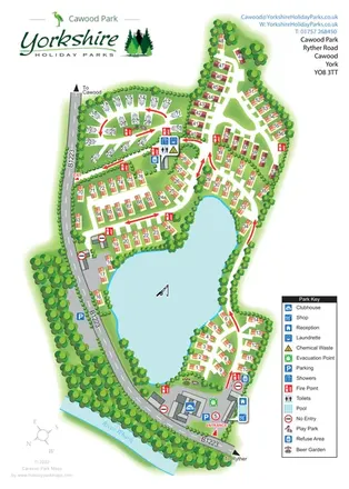
A lake-centred Cawood Park map with touring pitches, tree-lined holiday homes and clear entrance facilities.
 Explore the map ↗
United Kingdom
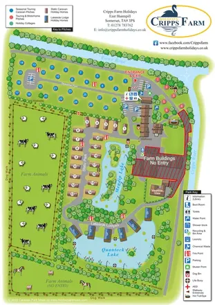
Illustrated farm holiday park plan combining riverside pitches, lakeside accommodation, animal fields and paw-print walking routes, with separate accommodation and facilities keys.
Features may come from the sample artwork, its key or published park information. Approximate numbers describe the drawing and may cover only part of a park. They are intended to help you compare map examples. Current facilities and booking information should be checked with the park.
LET’S MAP YOUR PARK
For a map quotation, find your park and draw a rough boundary around it. The area you select helps us work out the design time and price.
Draw your park for a quote ↗Or talk to our map designers
01751 473136