
 Explore the map ↗
United Kingdom
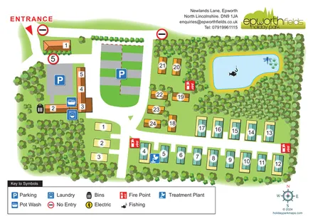
Epworth Fields
Tree-lined Epworth Fields map with numbered accommodation, clear access roads and a fishing pond.
ILLUSTRATED PARK MAP COLLECTION
Explore illustrated maps of Epworth Fields, Mellington Hall Holiday Home Park, Milestone Caravan Park, Mullacott Park, Mullynascarthy Holiday Park and Nether Hall Farm. Compare the layouts, landscape and facilities, and discover each park in more detail.
← Browse map collectionsExplore the map ↗United Kingdom
Tree-lined Epworth Fields map with numbered accommodation, clear access roads and a fishing pond.
 Explore the map ↗
United Kingdom
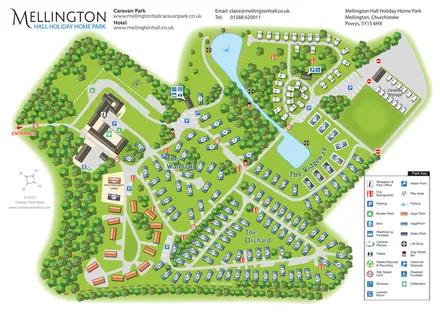
Wooded estate map with named lodge areas, lakeside touring, a hall-side arrival hub and Offa's Dyke Path.
 Explore the map ↗
United Kingdom
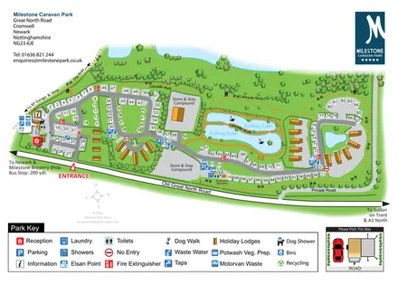
Overhead touring-park map with fishing lakes, holiday lodges, service icons and a pitching inset.
 Explore the map ↗
United Kingdom
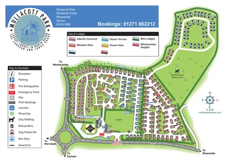
Colour-coded lodge neighbourhoods, a central lawn and an extended dog-walking zone at Mullacott Park, North Devon.
 Explore the map ↗
United Kingdom
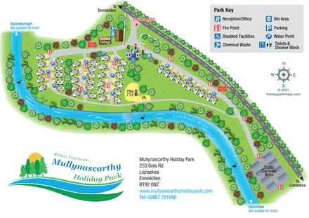
A colourful riverside park plan with numbered touring pitches, a cottage, static caravans and a central play area.
 Explore the map ↗
United Kingdom
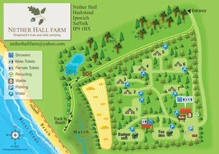
Tree-sheltered camping and named shepherd’s huts beside the River Stour at Nether Hall Farm.
LET’S MAP YOUR PARK
For a map quotation, find your park and draw a rough boundary around it. The area you select helps us work out the design time and price.
Draw your park for a quote ↗Or talk to our map designers
01751 473136