
Three lakes
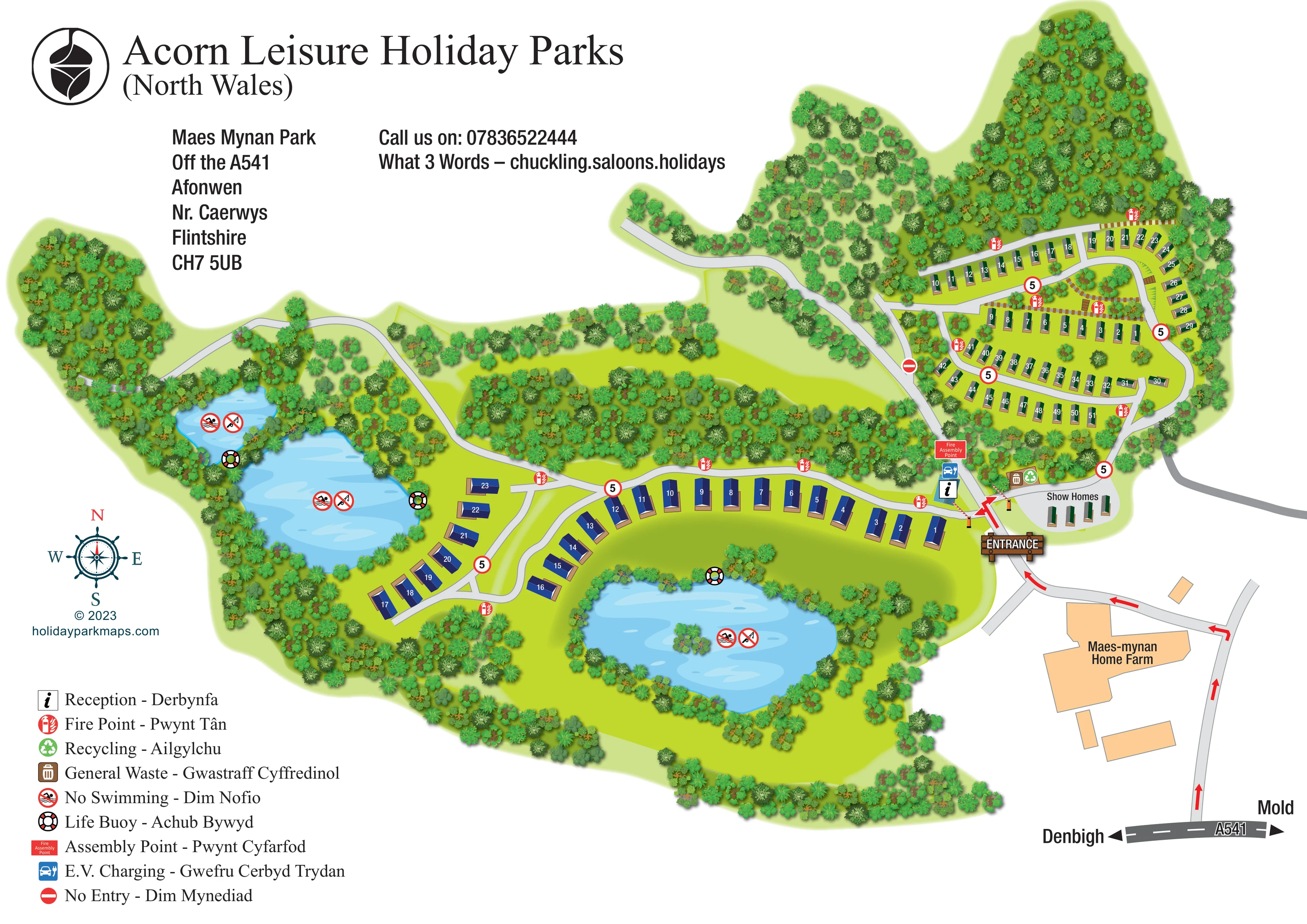
Two water bodies lie on the western side and a larger lake occupies the southern foreground; the southern lake includes a small planted island.
ILLUSTRATED PARK MAP · P204
Maes Mynan Park, Off the A541, Afonwen, Nr. Caerwys, Flintshire · United Kingdom
 Enlarge the map ↗
A SENSE OF THE PLACE
Maes Mynan Holiday Park is based at Off the A541, Afonwen, near Caerwys, Mold, Flintshire. The park overlooks lakes, woodland, Moel y Parc and the Clwydian Range. The park offers static caravans and bespoke holiday lodges for ownership.
Lodge and caravan areas have security-barrier access; woodland paths are promoted.
LOOK CLOSER
Two water bodies lie on the western side and a larger lake occupies the southern foreground; the southern lake includes a small planted island.
Dense illustrated trees surround the park, edge the lakes and form a substantial belt separating the accommodation areas.
Broad green spaces surround the lakes and sit between the roads, with particularly spacious lawns in the lodge area.
An information symbol marks reception immediately inside the entrance, at the junction serving the two accommodation areas.
A small group of display units occupies a grey forecourt east of the entrance, explicitly labelled Show Homes.
A blue charging symbol is positioned in the entrance and reception cluster.
Paired waste and recycling symbols appear beside the road near the show-home area.
Repeated red fire-point symbols are distributed along roads throughout both accommodation areas.
An information symbol marks reception immediately inside the entrance, at the junction serving the two accommodation areas.
A small group of display units occupies a grey forecourt east of the entrance, explicitly labelled Show Homes.
A blue charging symbol is positioned in the entrance and reception cluster.
Paired waste and recycling symbols appear beside the road near the show-home area.
Repeated red fire-point symbols are distributed along roads throughout both accommodation areas.
A red labelled assembly-point marker stands near reception and the charging symbol.
Lifebuoy symbols mark positions around the lake edges.
Two water bodies lie on the western side and a larger lake occupies the southern foreground; the southern lake includes a small planted island.
Dense illustrated trees surround the park, edge the lakes and form a substantial belt separating the accommodation areas.
Broad green spaces surround the lakes and sit between the roads, with particularly spacious lawns in the lodge area.
A timber-style entrance sign, bold red arrows and striped barriers identify the arrival junction and its branches.
An integrated approach diagram shows the route from the A541 past Maes-mynan Home Farm, with Denbigh and Mold direction labels.
Pale grey routes connect the entrance to the compact north-eastern loops, the sweeping lakeside accommodation roads and a western woodland extension.
Red-bordered circular markers bearing 5 appear along internal roads, and a no-entry symbol marks a junction on the western side of the caravan area.
No-swimming and crossed-out fishing symbols appear over the lakes. No Swimming is explained in the bilingual legend; the fishing symbol is not separately keyed.
The park context promotes woodland paths, but the artwork does not separately identify a signed walking circuit.
The park context describes views towards Moel y Parc and the Clwydian Range; these hills are not illustrated on the plan.
READING THE MAP
This illustrated map of Maes Mynan Holiday Park brings together a wooded, lakeside setting and a practical arrival plan for a holiday-home park in Afonwen, near Caerwys, Flintshire. Three blue lakes and extensive tree planting give the artwork its character, while contrasting accommodation symbols make the two main residential areas easy to distinguish. Larger blue-roofed units follow the spacious lakeside roads; narrower green-roofed units occupy a more compact series of loops to the north-east.
The map shows the approach from the A541 past Maes-mynan Home Farm, using red arrows to lead visitors towards a prominent entrance sign. Reception, electric vehicle charging, a fire assembly point and the show-home display are grouped around this arrival area. A large English–Welsh legend explains the operational symbols used across the grounds.
As a design sample, it demonstrates how a park map can communicate both landscape appeal and everyday orientation. Woodland, water and open lawns remain visually prominent without obscuring numbered accommodation, access routes or essential visitor information.
The single landscape-format plan is built around an irregular green estate outline, with dense woodland extending around its edges and through the centre. Two lakes occupy the western side, while a larger southern lake contains a small planted island. Pale water highlights and varied tree-canopy shapes make these landscape features recognisable without introducing a photographic background.
Accommodation is organised into two visually distinct groups. The north-eastern area uses narrow green-roofed symbols in curved rows around several connected road loops. Small planted pockets and brown path-like links add detail between the rows. The southern and western area uses larger navy-roofed symbols with tan decking or bases, spaced along a sweeping road and a branching lakeside section. White numbers sit directly on the roofs, keeping plot identification separate from the surrounding landscape.
At the lower-right edge, an integrated approach diagram connects the A541 to the park through the Home Farm area. Denbigh and Mold labels establish the main-road directions, and red arrows continue to the timber-style entrance sign. Striped barriers mark the branches into the accommodation areas. Reception, EV charging and the fire assembly point form a compact arrival cluster, with general waste, recycling and the labelled show-home forecourt nearby.
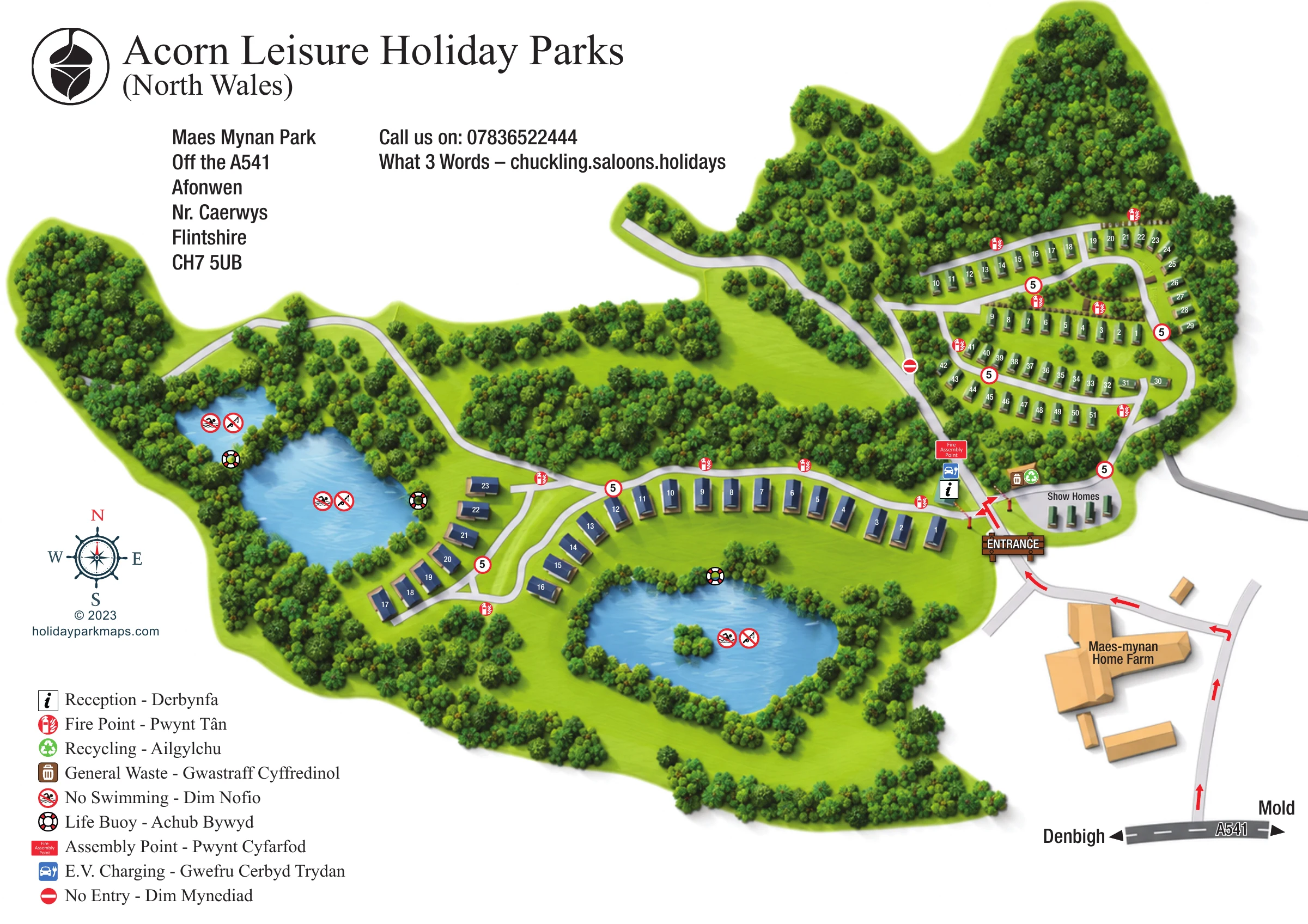
Fire-point symbols recur along the internal roads. Lifebuoys and water-restriction symbols appear around the lakes, while circular 5 markers and a no-entry sign add road information. The lower-left bilingual legend explains the principal symbols, accompanied by a decorative compass. Large Acorn Leisure branding and address information balance the illustrated grounds across the white page. The enlarged views show details of this same plan rather than separate park sections or alternative designs.
 Enlarge this map ↗
KEEP EXPLORING
Chosen for shared landscapes, accommodation or facilities.
 Explore the map ↗
United Kingdom
Illustrated lakeside park plan with numbered holiday units, leisure buildings and a looping Woodland Walk.
 Explore the map ↗
United Kingdom
Colour-coded accommodation, lakeside facilities and woodland routes at Burton Constable Holiday Park & Arboretum.
 Explore the map ↗
United Kingdom
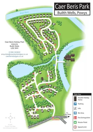
Portrait holiday-home park map with riverside loops, a tree-fringed pond and a separate manor landmark.
Features may come from the sample artwork, its key or published park information. Approximate numbers describe the drawing and may cover only part of a park. They are intended to help you compare map examples. Current facilities and booking information should be checked with the park.
LET’S MAP YOUR PARK
For a map quotation, find your park and draw a rough boundary around it. The area you select helps us work out the design time and price.
Draw your park for a quote ↗Or talk to our map designers
01751 473136