
Nature area
A large labelled, tree-filled area occupies the eastern side of the plan, beyond the accommodation roads.
ILLUSTRATED PARK MAP · P127
30898 Fox Valley Lane, Dozier, Alabama · United States
 Enlarge the map ↗
A SENSE OF THE PLACE
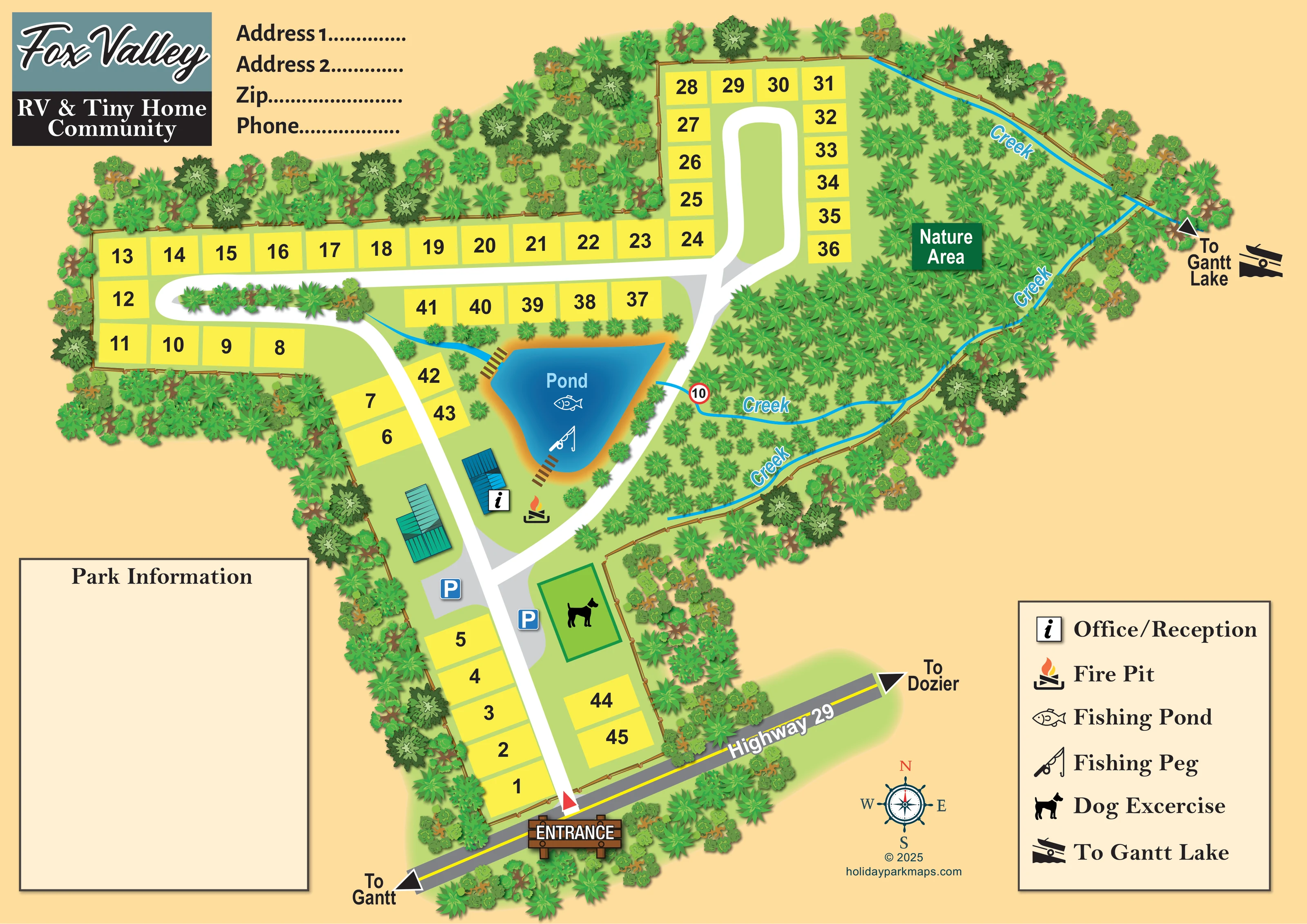
The Fox Valley RV and Tiny Home Community map presents a site layout around a pond, creeks and a nature area near Dozier in Alabama. Numbered plots and a clearly marked entrance organise the accommodation space.
The artwork labels reception, a fire pit, fishing features and dog-exercise space. This example shows how water, landscape features and visitor routes can be combined in a park plan without relying on a long written set of directions.
LOOK CLOSER
A large labelled, tree-filled area occupies the eastern side of the plan, beyond the accommodation roads.
Bright blue, repeatedly labelled waterways trace the eastern boundary and cross the nature area, with a smaller connection shown near the pond.
Dense illustrated tree belts surround much of the site, while a thin brown post-and-rail-style line defines the perimeter.
An information symbol identifies the blue-roofed building beside the pond and the main arrival route.
Two blue P symbols mark grey parking spaces on opposite sides of the entrance road, near the buildings and dog-exercise area.
A flame-and-logs symbol marks a fire pit between reception, the pond and the curving eastern road.
The central blue pond is labelled and carries the fishing-pond symbol used in the legend.
A fishing-rod symbol appears on the pond. Short brown landing-like features are illustrated along two parts of its bank.
An information symbol identifies the blue-roofed building beside the pond and the main arrival route.
Two blue P symbols mark grey parking spaces on opposite sides of the entrance road, near the buildings and dog-exercise area.
A flame-and-logs symbol marks a fire pit between reception, the pond and the curving eastern road.
The central blue pond is labelled and carries the fishing-pond symbol used in the legend.
A fishing-rod symbol appears on the pond. Short brown landing-like features are illustrated along two parts of its bank.
A green rectangular enclosure with a dog silhouette sits east of the entrance road, beside parking.
A large labelled, tree-filled area occupies the eastern side of the plan, beyond the accommodation roads.
Bright blue, repeatedly labelled waterways trace the eastern boundary and cross the nature area, with a smaller connection shown near the pond.
Dense illustrated tree belts surround much of the site, while a thin brown post-and-rail-style line defines the perimeter.
A timber-style entrance sign and red arrow mark the connection to Highway 29, with external arrows towards Gantt and Dozier.
A white entrance spine branches around the pond and into rounded turning loops serving the western and northern plots.
An arrow and boat-on-water symbol at the eastern creek convergence point towards Gantt Lake; the lake itself is outside the depicted site.
A red-bordered circular marker reading 10 appears beside the eastern road near a creek crossing. No units or explanatory wording are provided.
READING THE MAP
This illustrated map of Fox Valley RV & Tiny Home Community brings a compact accommodation layout and a substantial natural setting into one view. Located near Dozier in Alabama, the community is presented around a central fishing pond, with creeks and a tree-filled nature area extending across the eastern side of the plan. Roughly 45 numbered plots sit along clearly drawn internal roads, while the entrance connects to the labelled Highway 29 frontage.
The design uses bright yellow plots, white roads and blue water to separate the main things a visitor needs to recognise. Reception, parking, a fire pit and dog-exercise space are grouped near the arrival route, making the relationship between the entrance and shared facilities easy to understand. External arrows point towards Gantt, Dozier and Gantt Lake without expanding the page into a regional map.
A dense border of illustrated trees gives the plan its landscape character, while bold plot numbers and a compact symbol key keep it practical. It is a useful example of a small community map that gives scenery as much visual importance as accommodation.
The single landscape-format plan is organised around an entrance at the lower edge, where a timber-style sign and red arrow connect the community to Highway 29. The highway runs diagonally across the frontage, with arrows towards Gantt and Dozier. Inside the boundary, a broad white road passes angled yellow plots, two parking areas and a green dog-exercise enclosure before reaching the principal buildings and pond.
Accommodation rows extend westwards and northwards from this arrival spine. A rounded western turn surrounds a planted island, while a taller northern turning loop encloses an open green centre. The plots use consistent yellow fills and large black numbers; the artwork does not visually divide the RV and tiny-home accommodation into separate categories. Smaller groups of plots sit beside the pond and along the lower entrance approach.
The pond forms the visual centre of the developed area. Its blue gradient contrasts with a golden bank, small trees and short brown landing-like structures. Fish and fishing-rod symbols connect it to the fishing entries in the legend. A blue-roofed reception building and fire-pit symbol sit just below it, beside the road curving along the nature area.
To the east, numerous illustrated trees fill a labelled Nature Area. Cyan creeks run along the boundary and through this landscape, converging near an arrow towards Gantt Lake. A brown perimeter line and dense tree belts define much of the site's outline.
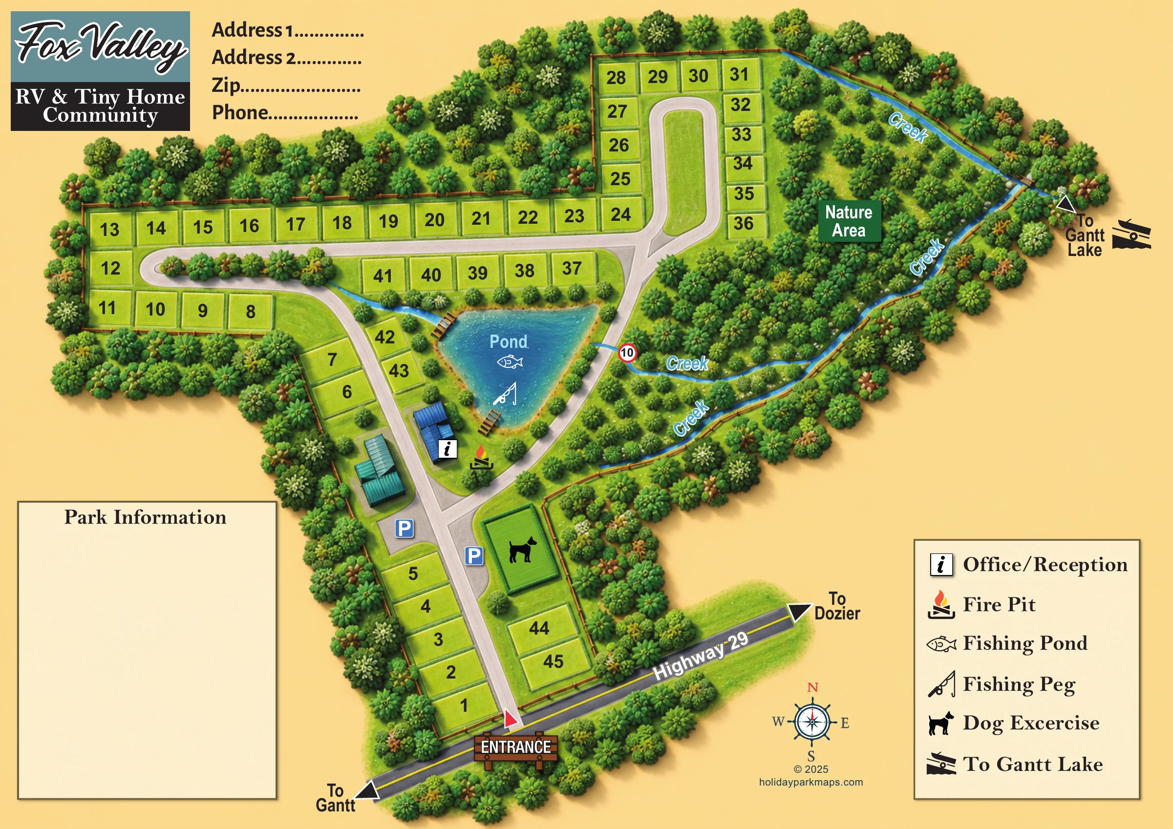
The page furniture includes upper-left branding, contact placeholders, a lower-left Park Information box, a six-entry facility legend and a decorative compass rose. The enlarged views show details of this same artwork rather than additional sections or alternative maps.
 Enlarge this map ↗
KEEP EXPLORING
Chosen for shared landscapes, accommodation or facilities.
 Explore the map ↗
United Kingdom
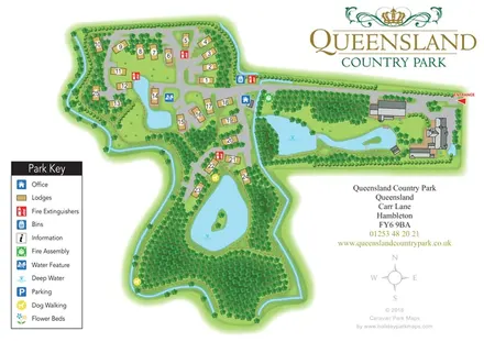
A landscape-led lodge park map with numbered plots, woodland walks, island ponds and prominent green-and-gold branding.
 Explore the map ↗
United Kingdom
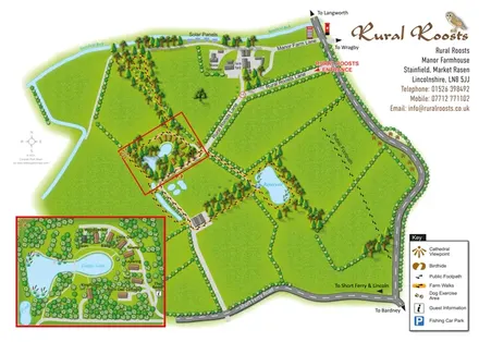
Rural Roosts farm overview with lakeside lodge inset, walking routes and countryside visitor features.
 Explore the map ↗
United Kingdom
Illustrated lakeside park plan with numbered holiday units, leisure buildings and a looping Woodland Walk.
Features may come from the sample artwork, its key or published park information. Approximate numbers describe the drawing and may cover only part of a park. They are intended to help you compare map examples. Current facilities and booking information should be checked with the park.
LET’S MAP YOUR PARK
For a map quotation, find your park and draw a rough boundary around it. The area you select helps us work out the design time and price.
Draw your park for a quote ↗Or talk to our map designers
01751 473136