
Tree belts, hedges and planted pitch divisions
Dense illustrated planting encloses the site, follows the road frontage and separates smaller groups of pitches.
ILLUSTRATED PARK MAP · P255
Piccadilly Caravan Park, Folly Lane West, Lacock, Chippenham, Wiltshire · United Kingdom
 Enlarge the map ↗
A SENSE OF THE PLACE
Piccadilly Caravan Park is a family-run touring and camping site near the historic village of Lacock. Landscaped grounds offer shaded and more open pitch settings for caravans, motorhomes and tents.
Heated showers and toilets, a children's play area and a designated dog-walking space support stays. The village and surrounding Wiltshire countryside provide opportunities for outings from this smaller park.
LOOK CLOSER
Dense illustrated planting encloses the site, follows the road frontage and separates smaller groups of pitches.
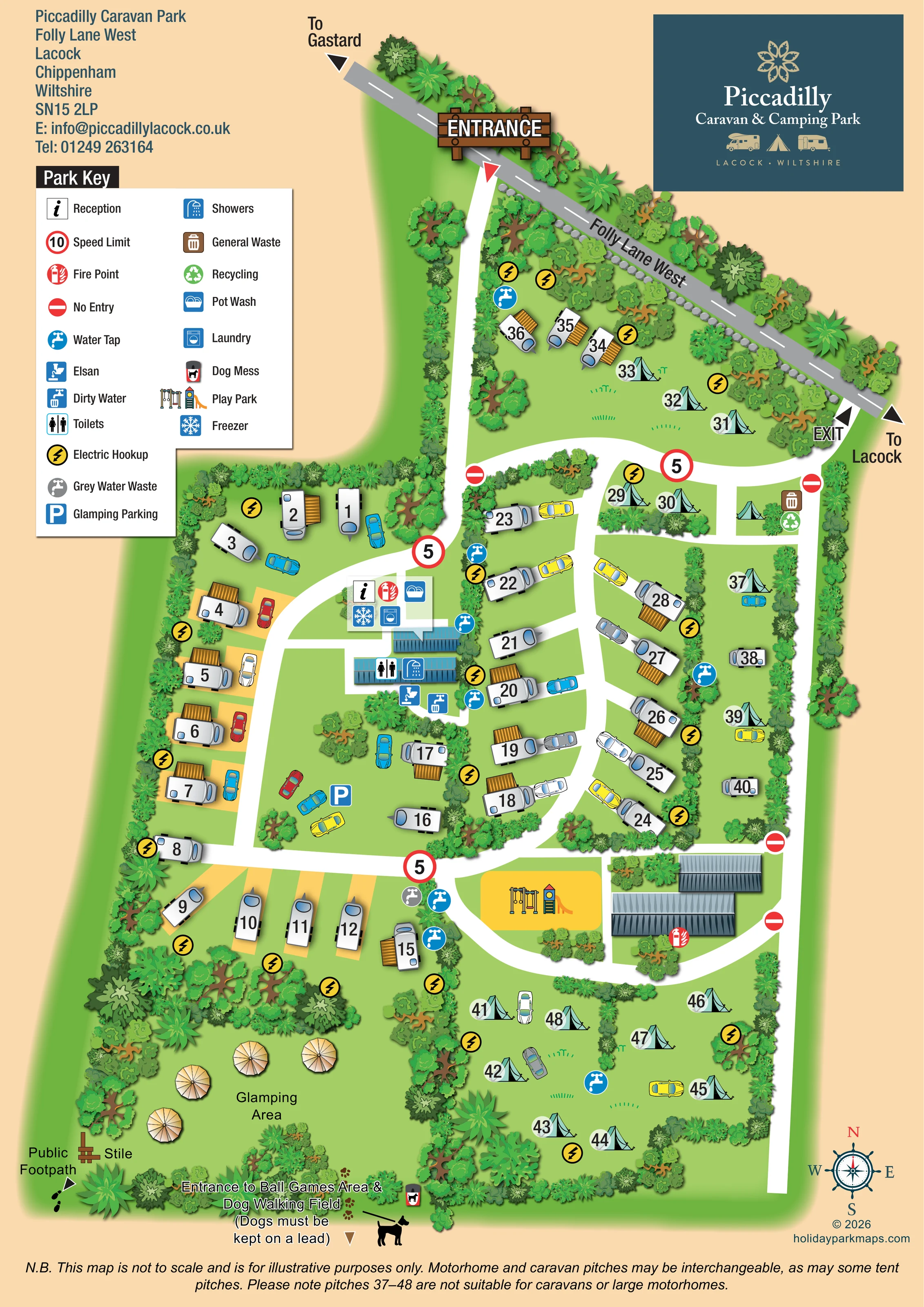
Reception is marked in the central-western service cluster, close to the main arrival route.
Toilet and shower symbols identify the central blue-roofed amenity building.
These camper facilities are grouped with reception in the central service area.
Blue tap symbols are distributed through the northern, central and southern pitch areas.
Yellow lightning-bolt markers appear throughout both touring and camping areas.
Elsan and dirty-water symbols sit beside the central amenity building; a separate grey-water marker appears beside the southern internal junction.
A paired waste and recycling point is shown beside the eastern route near the upper tent pitches.
Reception is marked in the central-western service cluster, close to the main arrival route.
Toilet and shower symbols identify the central blue-roofed amenity building.
These camper facilities are grouped with reception in the central service area.
Blue tap symbols are distributed through the northern, central and southern pitch areas.
Yellow lightning-bolt markers appear throughout both touring and camping areas.
Elsan and dirty-water symbols sit beside the central amenity building; a separate grey-water marker appears beside the southern internal junction.
A paired waste and recycling point is shown beside the eastern route near the upper tent pitches.
A bright yellow play area containing swings and a slide lies south of the central pitches, beside a group of grey-roofed buildings.
A blue parking symbol and illustrated cars mark an area north of the glamping enclosure.
Red fire-point symbols are shown at the reception cluster and beside the southern grey-roofed buildings.
A dog-waste symbol is positioned near the southern access towards the dog-walking field.
A labelled southern boundary access points towards the ball games area and dog-walking field beyond the main illustrated pitch layout.
A public footpath arrow and an illustrated stile are shown at the south-western edge, beside the glamping area.
The entrance joins Folly Lane West at the north-western end of the frontage; the exit rejoins it farther east. Directional labels point towards Gastard and Lacock.
Red-ringed speed markers and no-entry symbols punctuate the white internal lanes.
Dense illustrated planting encloses the site, follows the road frontage and separates smaller groups of pitches.
READING THE MAP
This illustrated map of Piccadilly Caravan Park presents a compact touring, camping and glamping site near Lacock in Wiltshire. The portrait layout follows the park from its entrance on Folly Lane West to the planted accommodation areas at the southern boundary. A separate exit, destination arrows for Gastard and Lacock, and a clearly named frontage road make the arrival arrangement easy to understand.
The map’s character comes from its small, landscaped pitch groups rather than a single open grid. Caravan illustrations, triangular tents and circular glamping structures distinguish the accommodation settings, while trees and hedges show how the areas relate to one another. Reception and the main camper facilities form a central landmark, with a children’s play park farther south.
A prominent Park Key brings together the practical details visitors need, including water taps, electric hook-ups, washing facilities and waste disposal. At the lower edge, a stile and public footpath sit alongside a labelled access towards the ball games area and dog-walking field. Dark teal branding and a warm peach background give the practical plan a distinctive presentation for a smaller countryside park.
The artwork uses an overhead plan with lightly dimensional illustrations to explain an elongated site beneath the diagonal line of Folly Lane West. A timber-style entrance sign marks the upper arrival point, and a broad white drive leads down to the reception and amenity cluster. The separately labelled exit sits farther along the frontage, connected to the eastern internal route.
Accommodation is arranged in several recognisable pockets. Touring caravans line the western boundary and occupy groups around the central lanes, often accompanied by striped awnings and colourful cars. A smaller northern area combines caravan and tent illustrations. More tent pitches follow the eastern edge, with a larger camping pocket in the south-east. The south-western Glamping Area contains cream circular structures, separated from neighbouring pitches by substantial planting; its parking is marked farther north.
The central service cluster carries symbols for reception, pot washing, laundry and a freezer. The nearby blue-roofed amenity building is marked for toilets and showers, with Elsan and dirty-water facilities alongside. Water taps and electric hook-ups recur throughout the plan. General waste and recycling are paired near the eastern lane, while grey-water disposal is indicated near a southern junction. Fire points appear at the service cluster and beside the unlabelled grey-roofed buildings farther south.
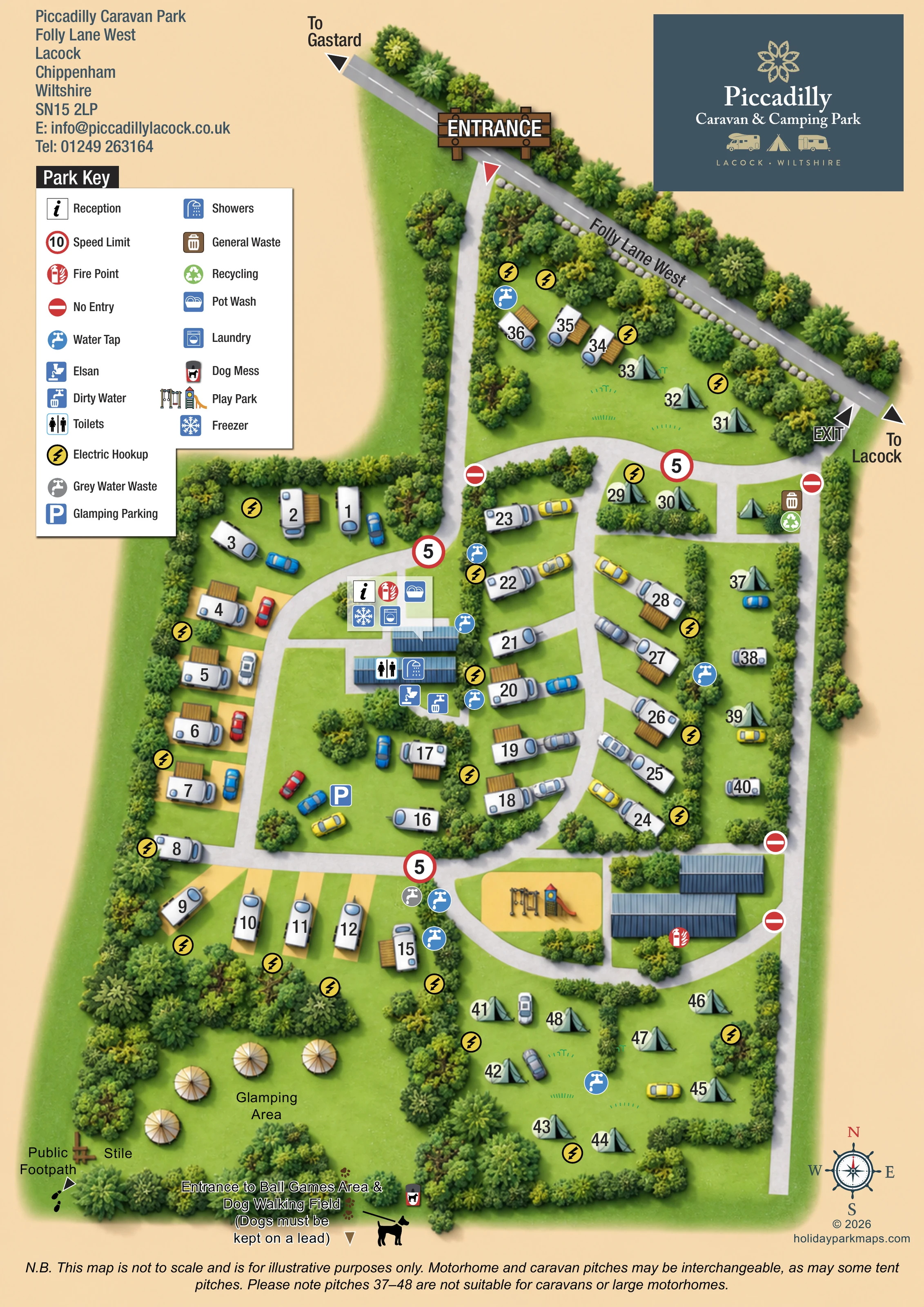
A yellow play-park enclosure provides a conspicuous landmark beside those buildings. Along the bottom boundary, the map identifies a public footpath and stile, plus access towards ball games and dog-walking space outside the main pitch depiction. A compass, large two-column key and bottom explanatory note complete the composition. The accompanying enlarged view shows the same key and western pitches in greater detail, rather than an additional park section.
 Enlarge this map ↗
KEEP EXPLORING
Chosen for shared landscapes, accommodation or facilities.
 Explore the map ↗
United Kingdom
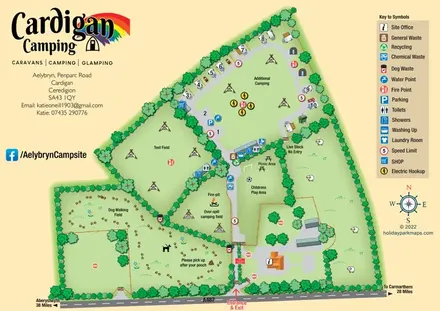
Illustrated farm-campsite map with mixed accommodation, named camping fields and a dedicated dog-walking area.
 Explore the map ↗
United Kingdom
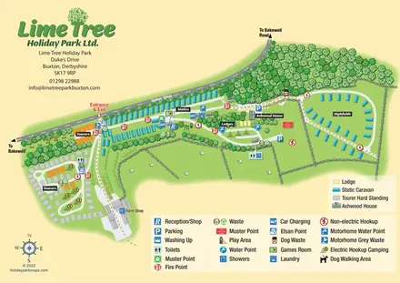
Mixed-accommodation park map with woodland, public footpaths and clearly differentiated service symbols.
 Explore the map ↗
United Kingdom
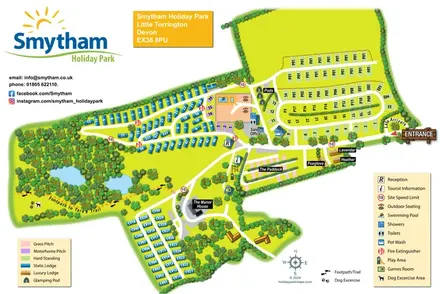
Colour-coded accommodation, woodland ponds and a Tarka Trail footpath on Smytham’s illustrated park map.
Features may come from the sample artwork, its key or published park information. Approximate numbers describe the drawing and may cover only part of a park. They are intended to help you compare map examples. Current facilities and booking information should be checked with the park.
TAKE A CLOSER LOOK
View the illustrated map in detail or choose a file to download. These are sample maps; contact the park for current visitor information.

LET’S MAP YOUR PARK
For a map quotation, find your park and draw a rough boundary around it. The area you select helps us work out the design time and price.
Draw your park for a quote ↗Or talk to our map designers
01751 473136