
United Kingdom
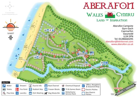
Aberafon Campsite
Illustrated coastal campsite plan with named fields, electric pitch colours, beach routes and the Afon Hen.
THE HOLIDAY PARK MAP COLLECTION
Browse 6 illustrated park maps, including Aberafon Campsite and Brighouse Bay Holiday Park.
← Explore the whole collectionCombine a country, landscape, facilities and accommodation type to find relevant examples.
Showing all 6 park maps
United Kingdom
Illustrated coastal campsite plan with named fields, electric pitch colours, beach routes and the Afon Hen.
United Kingdom
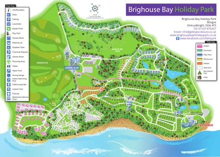
A colour-zoned coastal park map with touring areas, woodland trails, ponds and a leisure club.
United Kingdom
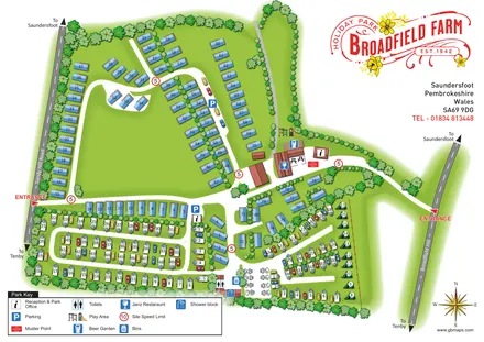
Tree-framed mixed-accommodation park map with two entrances, touring loops and a clearly illustrated social hub.
United Kingdom
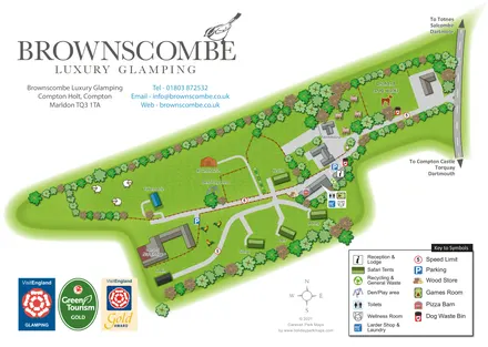
A branded rural glamping map combining named safari tents and distinctive structures with an orchard dog walk, shared amenities and farm-themed illustration.
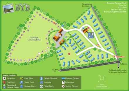
United Kingdom
A tree-lined touring field and blue caravan plots linked by curving roads and clearly marked shared facilities.
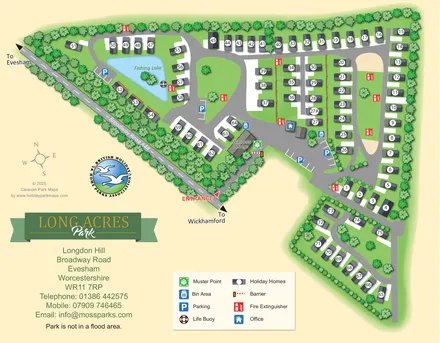
United Kingdom
Tree-lined Long Acres Park map with numbered holiday homes, a fishing lake and clearly marked arrival facilities.
LET’S MAP YOUR PARK
For a map quotation, find your park and draw a rough boundary around it. The area you select helps us work out the design time and price.
Draw your park for a quote ↗Or talk to our map designers
01751 473136