
 Explore the map ↗
United Kingdom
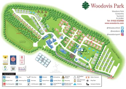
Woodovis Park
Tree-framed Woodovis Park map with touring, camping, glamping, static caravans and a detailed facility key.
THE HOLIDAY PARK MAP COLLECTION
Browse 7 map examples, from Woodovis Park to Yorkshire Dales Country & Leisure Park.
← Explore the whole collectionCombine a country, landscape, facilities and accommodation type to find relevant examples.
Showing 313–319 of 319 · Select a map to read its story
Explore the map ↗United Kingdom
Tree-framed Woodovis Park map with touring, camping, glamping, static caravans and a detailed facility key.
 Explore the map ↗
United Kingdom
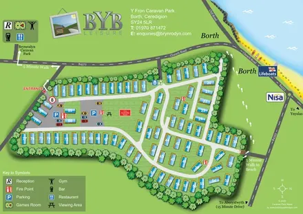
Numbered caravan layout with coastal landmarks and walking links to the beach and Brynrodyn.
 Explore the map ↗
United Kingdom
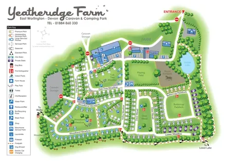
Colour-coded pitches, farm facilities and lakeside walking connections at Yeatheridge Farm, Devon.
 Explore the map ↗
United Kingdom
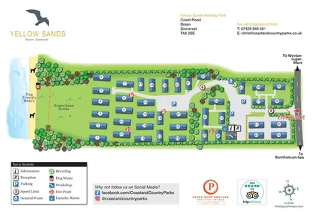
Numbered holiday homes, dune-side grounds and a clearly marked road entrance at Yellow Sands, Brean.
 Explore the map ↗
United Kingdom
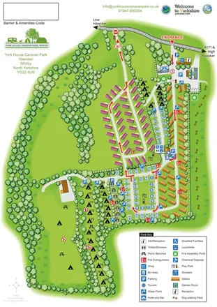
Portrait park map with mixed accommodation, directional roads, tree-lined camping and a paw-print dog-walking field.
 Explore the map ↗
United Kingdom
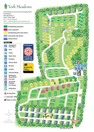
Tree-framed visitor map with colour-coded touring pitches, holiday-home rows and a prominent facilities key.
 Explore the map ↗
United Kingdom
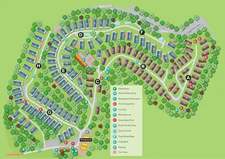
Numbered holiday-home map with lettered areas, wooded roads, a quarry-wall boundary and an entrance-side showground.
LET’S MAP YOUR PARK
For a map quotation, find your park and draw a rough boundary around it. The area you select helps us work out the design time and price.
Draw your park for a quote ↗Or talk to our map designers
01751 473136