
 Explore the map ↗
United Kingdom
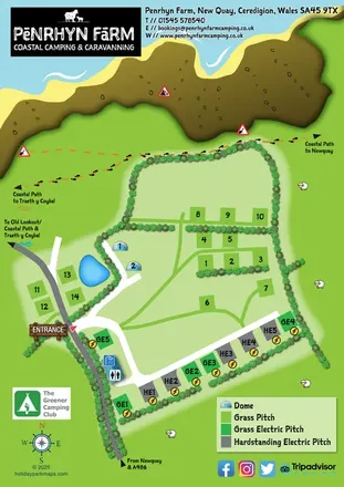
Penrhyn Coastal Camping & Caravanning
A colourful coastal farm campsite map with electric pitches, geodesic domes and footprint-marked walking routes.
THE HOLIDAY PARK MAP COLLECTION
Browse 24 map examples, from Penrhyn Coastal Camping & Caravanning to Rosguill Holiday Park.
← Explore the whole collectionCombine a country, landscape, facilities and accommodation type to find relevant examples.
Showing 217–240 of 319 · Select a map to read its story
Explore the map ↗United Kingdom
A colourful coastal farm campsite map with electric pitches, geodesic domes and footprint-marked walking routes.
 Explore the map ↗
United Kingdom
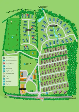
Portrait park plan with colour-coded accommodation, a landscaped Summerleaze loop and a prominent dog field.
 Explore the map ↗
United Kingdom
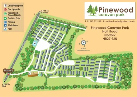
Wooded caravan park map with branching roads, a pool marker and a distinctive Holt Road entrance.
 Explore the map ↗
United Kingdom
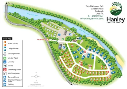
A tree-lined riverside park plan with colour-coded static, lodge and touring areas.
 Explore the map ↗
United Kingdom
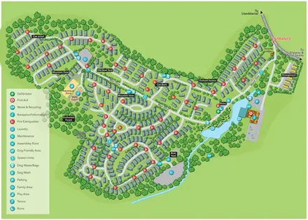
A tree-framed Anglesey retreat map with named holiday-home sections, a waterside Nature Trail and a clear facility key.
 Explore the map ↗
United Kingdom
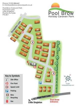
Portrait caravan park plan with numbered orange units, a planted boundary and clear entrance wayfinding.
 Explore the map ↗
United Kingdom
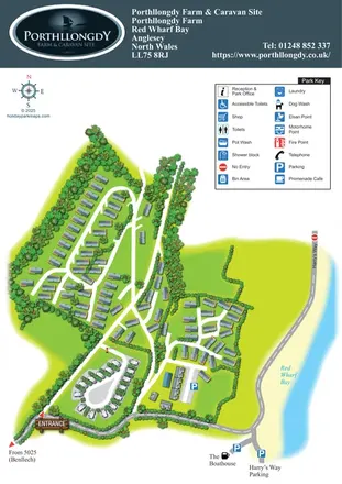
A coastal park plan with tree-lined accommodation groups, a touring loop and Red Wharf Bay frontage.
 Explore the map ↗
Australia
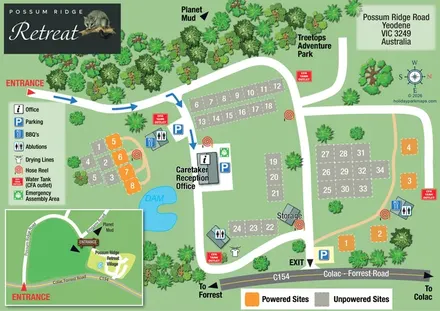
Possum Ridge Retreat site map with colour-coded pitches, a dam and local-road inset.
 Explore the map ↗
United Kingdom
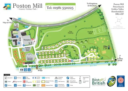
Riverside touring-park map with colour-coded pitches, dog-walking grounds and illustrated visitor facilities.
 Explore the map ↗
United Kingdom
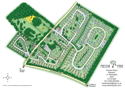
Numbered holiday homes, looping roads and woodland grounds at Preston Park, Kent.
 Explore the map ↗
United Kingdom
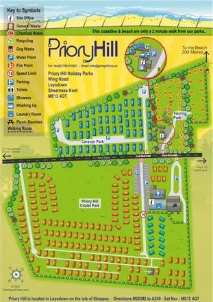
Colour-coded coastal park map with chalet, caravan and touring areas, plus an enlarged touring service inset.
 Explore the map ↗
United Kingdom
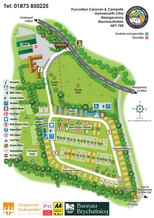
Illustrated farm campsite map with touring rows, seasonal pitches, a separate camping field and clear service symbols.
 Explore the map ↗
United Kingdom
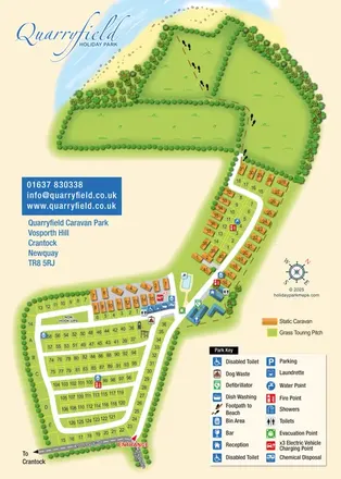
Coastal park map combining numbered touring pitches, orange caravans and a footprint-marked beach route.
 Explore the map ↗
Australia
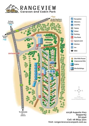
Portrait caravan park map with colour-coded pitches, blue-roofed cabins and regional road directions.
 Explore the map ↗
United Kingdom
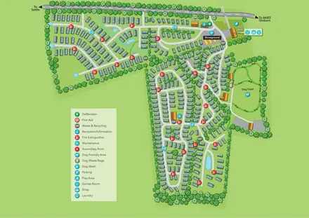
Tree-lined holiday-home park map with a showground, owners’ lounge and paw-print dog field.
 Explore the map ↗
United Kingdom
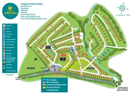
Colour-coded Ribble Valley holiday-park map with touring pitches, hire accommodation and a tree-lined watercourse.
 Explore the map ↗
United Kingdom
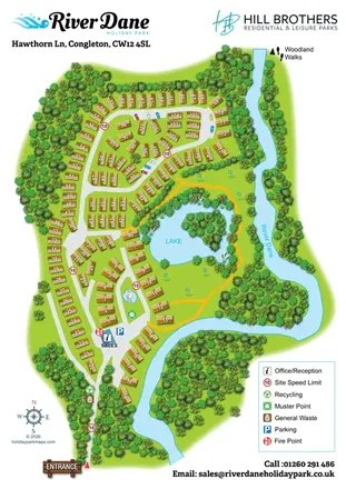
Numbered holiday-home plots, a wooded lake and the River Dane in a branded portrait park map.
 Explore the map ↗
United Kingdom
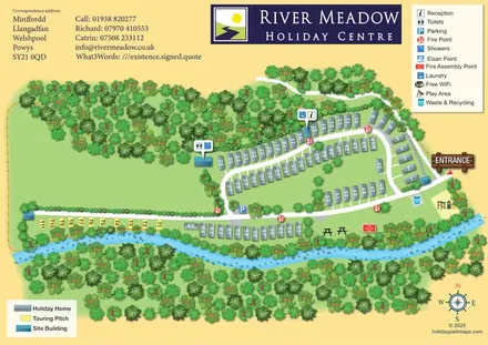
Riverside park map with numbered holiday homes, a separate touring strip and illustrated woodland.
 Explore the map ↗
Ireland
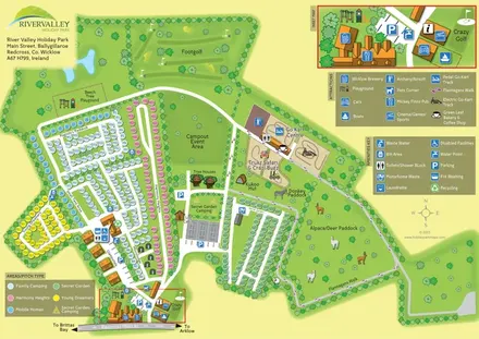
Colour-coded camping areas, illustrated glamping and a paddock walking route at River Valley, County Wicklow.
 Explore the map ↗
United Kingdom
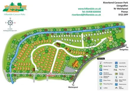
Riverbend's tree-lined river bend, contrasting caravan areas and A458 approach shown in a colourful illustrated plan.
 Explore the map ↗
United Kingdom
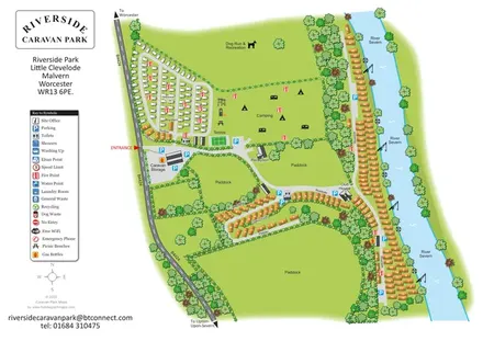
Illustrated riverside park plan with seasonal caravans, camping, paddocks and a long River Severn frontage.
 Explore the map ↗
United Kingdom
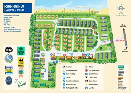
Beachfront park plan with touring pitches, static caravans, lodges and pictorial facility keys.
 Explore the map ↗
United Kingdom
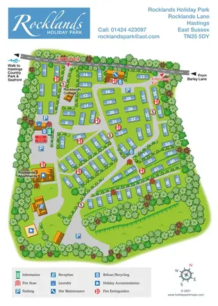
Numbered caravans, terraced grounds and practical wayfinding at Rocklands Holiday Park, Hastings.
 Explore the map ↗
Ireland
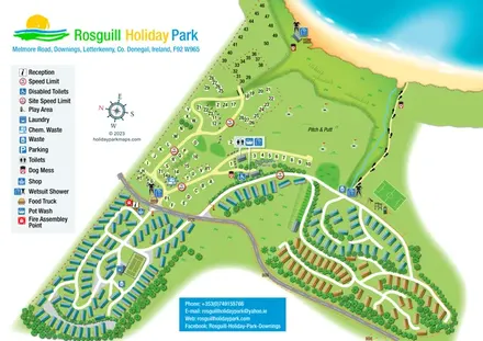
Illustrated coastal park plan with mobile-home loops, visitor pitches, pitch and putt, and a beach path.
LET’S MAP YOUR PARK
For a map quotation, find your park and draw a rough boundary around it. The area you select helps us work out the design time and price.
Draw your park for a quote ↗Or talk to our map designers
01751 473136