
 Explore the map ↗
United Kingdom
Hambleton Country Park
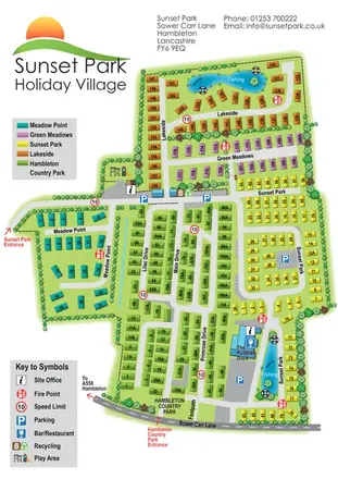
Five colour-coded park sections, two fishing lakes and linked drives on a Sunset Park-branded plan including Hambleton Country Park.
THE HOLIDAY PARK MAP COLLECTION
Browse 24 map examples, from Hambleton Country Park to Keltie Bridge Caravan Park.
← Explore the whole collectionCombine a country, landscape, facilities and accommodation type to find relevant examples.
Showing 121–144 of 319 · Select a map to read its story
Explore the map ↗United Kingdom
Five colour-coded park sections, two fishing lakes and linked drives on a Sunset Park-branded plan including Hambleton Country Park.
 Explore the map ↗
United Kingdom
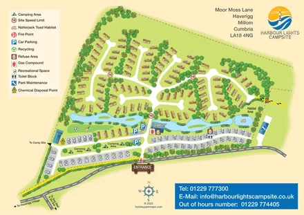
Mixed-accommodation campsite map with a water-feature corridor, touring rows and natterjack toad habitat.
 Explore the map ↗
United Kingdom
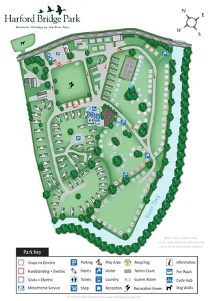
Riverside park map with colour-coded pitches, static caravan groups and a comprehensive facilities key.
 Explore the map ↗
United Kingdom
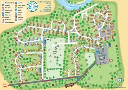
Riverside caravan and camping map with colour-coded traffic routes and a comprehensive facilities key.
 Explore the map ↗
United Kingdom
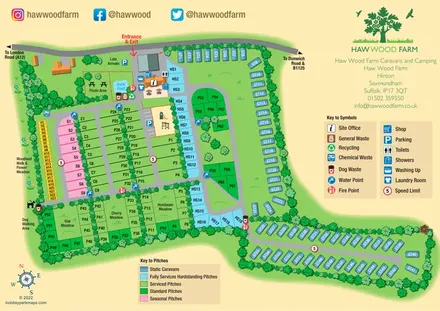
Colour-coded pitches, a leafy facilities hub and a long static-caravan wing at Haw Wood Farm, Suffolk.
 Explore the map ↗
United Kingdom
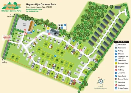
Numbered touring pitches and a tree-lined holiday-home avenue on an illustrated Hay-on-Wye park map.
 Explore the map ↗
United Kingdom
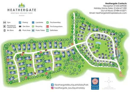
A landscaped holiday-home park plan with numbered units, an oval pond-side loop and branching western lanes.
 Explore the map ↗
United Kingdom
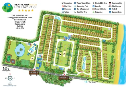
Illustrated Suffolk coastal park map with planted accommodation rows, central pitches, leisure facilities and beach directions.
 Explore the map ↗
United Kingdom
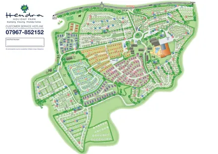
Colour-coded holiday homes, numbered pitch fields and a prominent pool complex on Hendra's whole-park plan.
 Explore the map ↗
United Kingdom
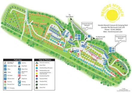
Diagonal railway-edge park plan with colour-coded pitches, non-electric camping and illustrated glamping accommodation.
 Explore the map ↗
United Kingdom
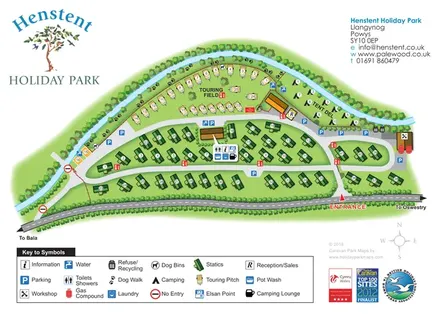
A tree-lined riverside park plan with colour-coded accommodation, a paw-print dog walk and a comprehensive visitor-service key.
 Explore the map ↗
United Kingdom
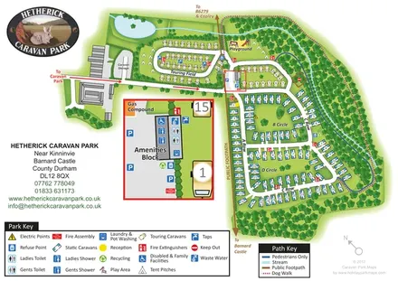
Woodland caravan park map with named pitch areas, walking routes and an enlarged amenities block.
 Explore the map ↗
United Kingdom
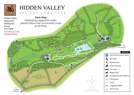
Hidden Valley farm map with suggested walks, wildlife landmarks, viewpoints and a fishing lake.
 Explore the map ↗
United Kingdom
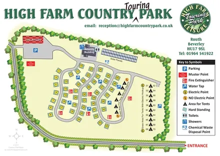
High Farm Country Park touring map with loop roads, hardstandings and separate electric and non-electric tent areas.
 Explore the map ↗
United Kingdom
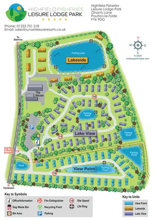
Colour-coded lodge-park plan with fishing lakes, looping roads and a clear entrance-side arrival area.
 Explore the map ↗
United Kingdom
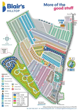
Portrait park plan with lettered holiday-home areas, separate camping access and an enlarged Hub callout.
 Explore the map ↗
United Kingdom
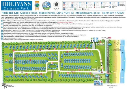
Numbered caravan-park plan with coastal scenery, linked road loops and grouped facility callouts.
 Explore the map ↗
United Kingdom
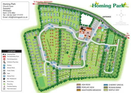
Colour-coded Homing Park map with six holiday-home neighbourhoods, a touring loop and an illustrated leisure hub.
 Explore the map ↗
United Kingdom
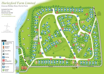
Numbered holiday-home pitches, tree-lined roads and riverside landmarks at Hurleyford Farm Park.
 Explore the map ↗
United Kingdom
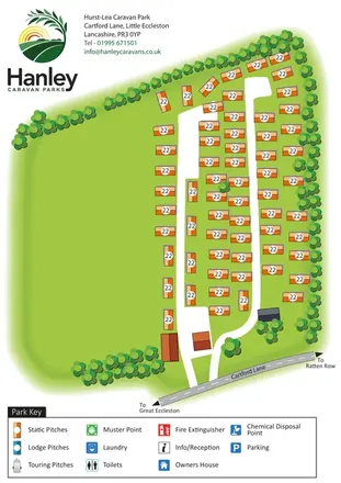
A branded, tree-framed caravan-park plan with orange pitch symbols and clear access from Cartford Lane.
 Explore the map ↗
United Kingdom
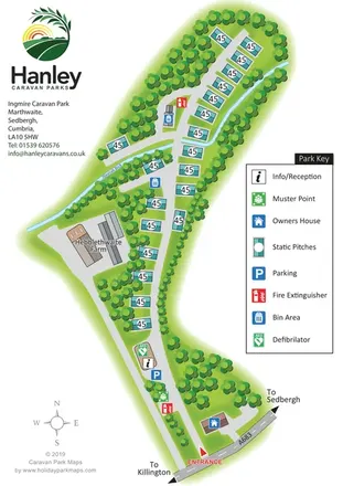
A tree-lined static-caravan park plan with a named beck, A683 entrance and clear facility key.
 Explore the map ↗
United Kingdom
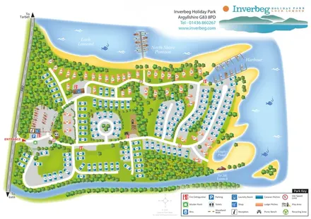
Colour-coded caravan and lodge pitches beside Loch Lomond, with woodland routes, a harbour and North Shore Pontoon.
 Explore the map ↗
United Kingdom
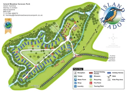
Riverside island park map with colour-coded holiday homes, a central touring loop and footprint-marked village paths.
 Explore the map ↗
United Kingdom
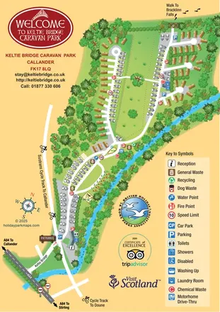
Illustrated riverside park map with mixed accommodation, a central green and walking and cycling connections.
LET’S MAP YOUR PARK
For a map quotation, find your park and draw a rough boundary around it. The area you select helps us work out the design time and price.
Draw your park for a quote ↗Or talk to our map designers
01751 473136