
 Explore the map ↗
United Kingdom
Diamond Farm Caravan Park
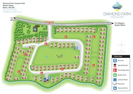
Numbered accommodation, a central green and tree-lined rhyne on the Diamond Farm park map.
THE HOLIDAY PARK MAP COLLECTION
Browse 9 map examples, from Diamond Farm Caravan Park to Upper Carr Holiday Park.
← Explore the whole collectionCombine a country, landscape, facilities and accommodation type to find relevant examples.
Showing 25–33 of 33 · Select a map to read its story
Explore the map ↗United Kingdom
Numbered accommodation, a central green and tree-lined rhyne on the Diamond Farm park map.
 Explore the map ↗
United Kingdom
Illustrated caravan park plan with woodland and riverside walks, fishing pools and wildlife panels.
 Explore the map ↗
Ireland
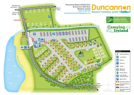
Beachside park plan with colour-coded mobile homes, touring/camping areas, glamping cabins and grouped service symbols.
 Explore the map ↗
United Kingdom
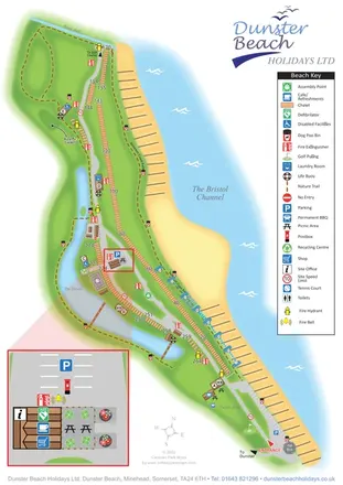
Coastal chalet map with waterside trails, a vertical key and an enlarged visitor-services inset.
 Explore the map ↗
United Kingdom
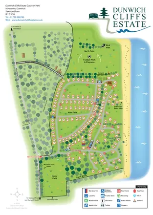
Coastal caravan estate map with woodland walks, open fields and clearly marked beach steps.
 Explore the map ↗
United Kingdom
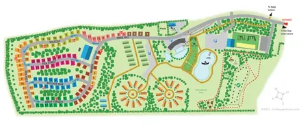
Colour-coded touring roads, circular glamping groups and landscaped activity grounds at Love2Stay Shrewsbury.
 Explore the map ↗
United Kingdom
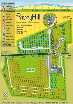
Colour-coded coastal park map with chalet, caravan and touring areas, plus an enlarged touring service inset.
 Explore the map ↗
United Kingdom
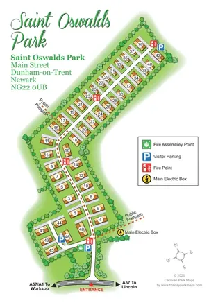
Portrait residential estate map with numbered park homes, visitor parking and a public footpath.
 Explore the map ↗
United Kingdom
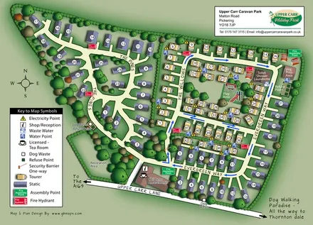
Upper Carr park map with wooded static-caravan areas, touring rows and clearly marked visitor facilities.
LET’S MAP YOUR PARK
For a map quotation, find your park and draw a rough boundary around it. The area you select helps us work out the design time and price.
Draw your park for a quote ↗Or talk to our map designers
01751 473136