
 Explore the map ↗
United Kingdom
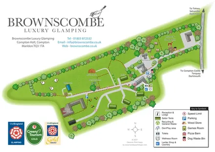
Brownscombe Luxury Glamping
A branded rural glamping map combining named safari tents and distinctive structures with an orchard dog walk, shared amenities and farm-themed illustration.
THE HOLIDAY PARK MAP COLLECTION
Browse 12 map examples, from Brownscombe Luxury Glamping to Park Farm Caravan & Camp Site.
← Explore the whole collectionCombine a country, landscape, facilities and accommodation type to find relevant examples.
Showing 25–36 of 36 · Select a map to read its story
Explore the map ↗United Kingdom
A branded rural glamping map combining named safari tents and distinctive structures with an orchard dog walk, shared amenities and farm-themed illustration.
 Explore the map ↗
United Kingdom
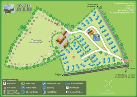
A tree-lined touring field and blue caravan plots linked by curving roads and clearly marked shared facilities.
 Explore the map ↗
United Kingdom
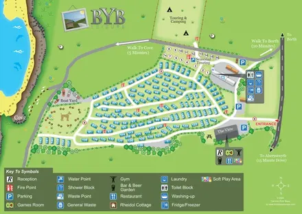
Coastal park map with numbered holiday homes, touring and camping areas, The View and walking routes to Borth and the cove.
 Explore the map ↗
Australia
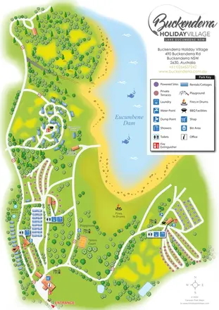
A landscape-led map of Buckenderra Holiday Village, with colour-coded accommodation, lakeside roads and illustrated recreation facilities.
 Explore the map ↗
United Kingdom
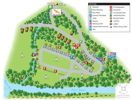
A wooded riverside map combining lodges, log pods, touring hardstandings and open camping at Bunroy Park.
 Explore the map ↗
United Kingdom
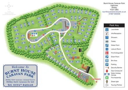
A tree-lined caravan park plan with static homes, seasonal touring pitches and a clear central-loop layout.
 Explore the map ↗
United Kingdom
Colour-coded accommodation, central leisure facilities and coastal paths on an illustrated headland park map.
 Explore the map ↗
United Kingdom
Colour-coded accommodation, lakeside facilities and woodland routes at Burton Constable Holiday Park & Arboretum.
 Explore the map ↗
United Kingdom
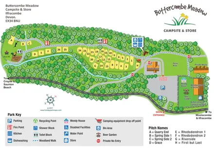
Woodland-framed campsite map with riverside pitches, named plots and an entrance-side beer garden.
 Explore the map ↗
United Kingdom
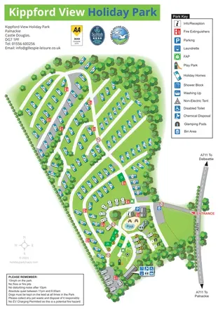
Tree-lined holiday-park plan with numbered holiday homes, touring pitches, glamping pods and a pool-centred arrival hub.
 Explore the map ↗
United Kingdom
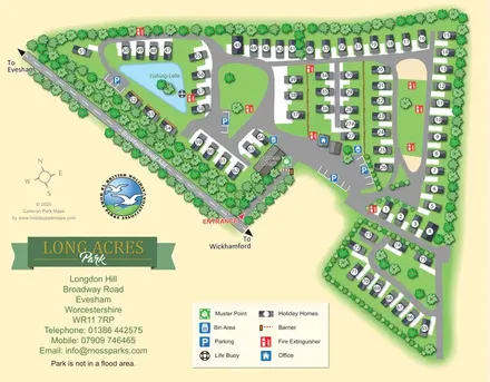
Tree-lined Long Acres Park map with numbered holiday homes, a fishing lake and clearly marked arrival facilities.
 Explore the map ↗
United Kingdom
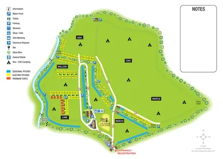
Riverside campsite plan with named fields, colour-coded pitches and a central amenity cluster.
LET’S MAP YOUR PARK
For a map quotation, find your park and draw a rough boundary around it. The area you select helps us work out the design time and price.
Draw your park for a quote ↗Or talk to our map designers
01751 473136