
 Explore the map ↗
Australia
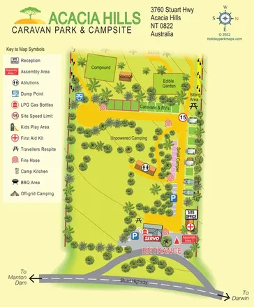
Acacia Hills Caravan Park & Campsite
A tropical roadside park map with caravan/RV strips, open camping, an edible garden and a prominent Stuart Highway entrance.
THE HOLIDAY PARK MAP COLLECTION
Explore our 14 map samples from Australia, with park information, landscape details and individual illustrated maps.
← Explore the whole collectionCombine a country, landscape, facilities and accommodation type to find relevant examples.
Showing 1–14 of 14 · Select a map to read its story
Explore the map ↗Australia
A tropical roadside park map with caravan/RV strips, open camping, an edible garden and a prominent Stuart Highway entrance.
 Explore the map ↗
Australia
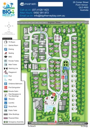
Tree-lined coastal park plan with colour-coded sites, separate entry and exit routes, and a pool-side visitor hub.
 Explore the map ↗
Australia
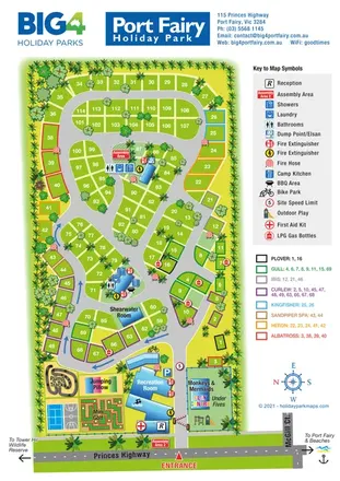
Tree-lined Port Fairy park plan with colour-keyed cabins, loop roads and a detailed family-leisure area.
 Explore the map ↗
Australia
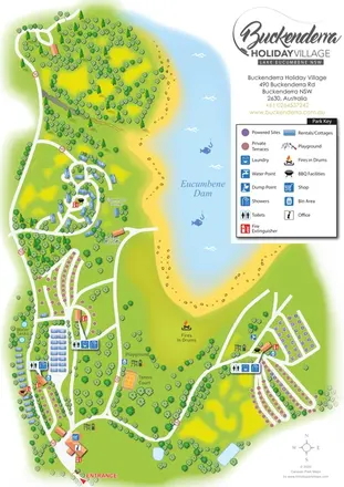
A landscape-led map of Buckenderra Holiday Village, with colour-coded accommodation, lakeside roads and illustrated recreation facilities.
 Explore the map ↗
Australia
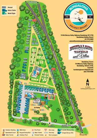
A combined resort, villa and tavern map with separate entrances, two pool areas and illustrated leisure facilities.
 Explore the map ↗
Australia
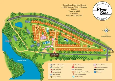
Numbered cabin rows, central amenities and wooded Ovens River frontage at Bundalong Riverside Resort.
 Explore the map ↗
Australia
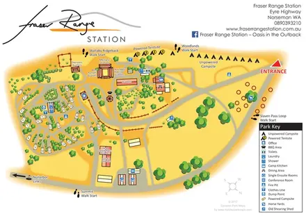
Warm-toned station campsite map with numbered caravan pitches, named quarters, horse yards and four walking starts.
 Explore the map ↗
Australia
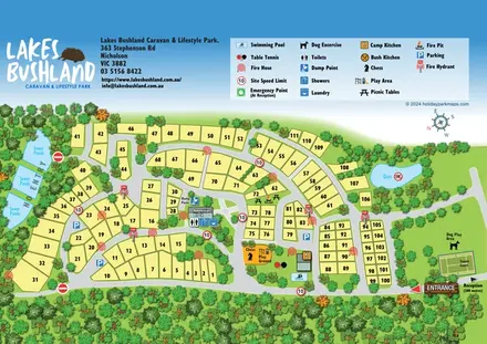
A tree-framed numbered site plan with curving roads, shared leisure facilities and a prominent pictorial legend.
 Explore the map ↗
Australia
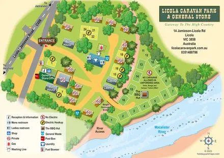
Illustrated Licola park map with riverside camping, cabins, bunkhouses and a general-store arrival area.
 Explore the map ↗
Australia
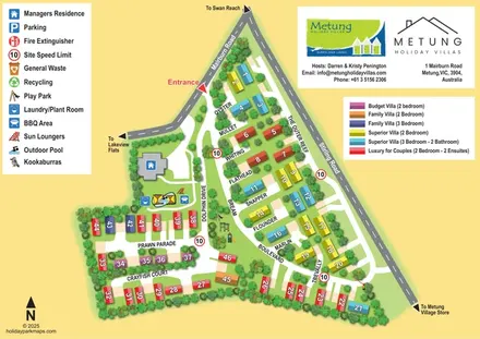
Colour-coded villas, marine-themed roads and illustrated recreation areas at Metung Holiday Villas.
 Explore the map ↗
Australia
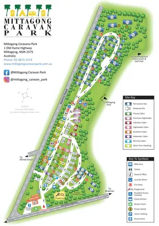
Tree-lined Mittagong Caravan Park plan with colour-coded cabins, powered sites and directional internal roads.
 Explore the map ↗
Australia
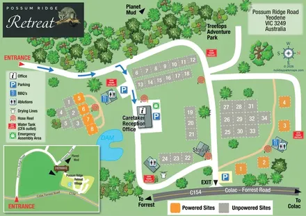
Possum Ridge Retreat site map with colour-coded pitches, a dam and local-road inset.
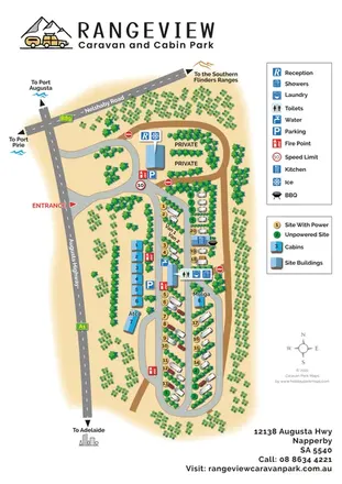 Explore the map ↗
Australia
Portrait caravan park map with colour-coded pitches, blue-roofed cabins and regional road directions.
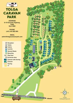 Explore the map ↗
Australia
Tree-lined caravan park map with touring rows, central amenities and a clearly illustrated highway approach.
LET’S MAP YOUR PARK
For a map quotation, find your park and draw a rough boundary around it. The area you select helps us work out the design time and price.
Draw your park for a quote ↗Or talk to our map designers
01751 473136