
 Explore the map ↗
United Kingdom
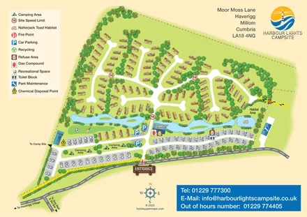
Harbour Lights Campsite
Mixed-accommodation campsite map with a water-feature corridor, touring rows and natterjack toad habitat.
THE HOLIDAY PARK MAP COLLECTION
Browse 24 map examples, from Harbour Lights Campsite to Mullynascarthy Holiday Park.
← Explore the whole collectionCombine a country, landscape, facilities and accommodation type to find relevant examples.
Showing 49–72 of 121 · Select a map to read its story
Explore the map ↗United Kingdom
Mixed-accommodation campsite map with a water-feature corridor, touring rows and natterjack toad habitat.
 Explore the map ↗
United Kingdom
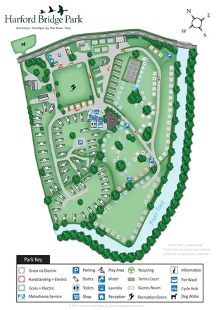
Riverside park map with colour-coded pitches, static caravan groups and a comprehensive facilities key.
 Explore the map ↗
United Kingdom
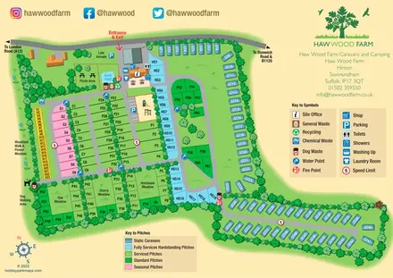
Colour-coded pitches, a leafy facilities hub and a long static-caravan wing at Haw Wood Farm, Suffolk.
 Explore the map ↗
United Kingdom
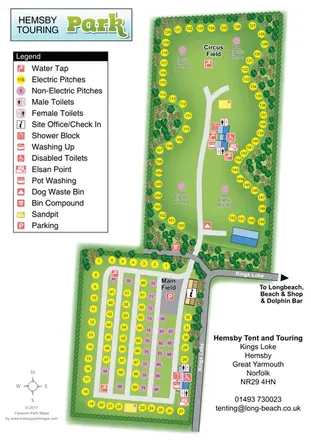
Two-field touring and camping map with colour-coded pitches, service points and tree-lined boundaries.
 Explore the map ↗
United Kingdom
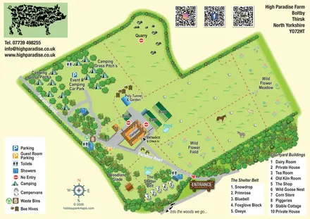
Illustrated farm-stay map with courtyard buildings, grass camping, named campervan pitches and wildflower areas.
 Explore the map ↗
United Kingdom
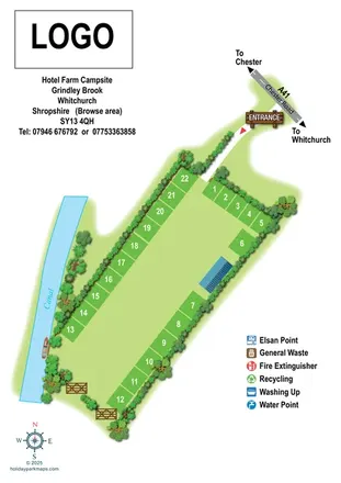
Canal-side campsite map with perimeter pitches and a clearly illustrated A41 entrance.
 Explore the map ↗
United Kingdom
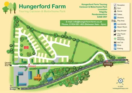
Illustrated touring park plan with planted pitch circuits, farm buildings and an A4075 entrance approach.
 Explore the map ↗
United Kingdom
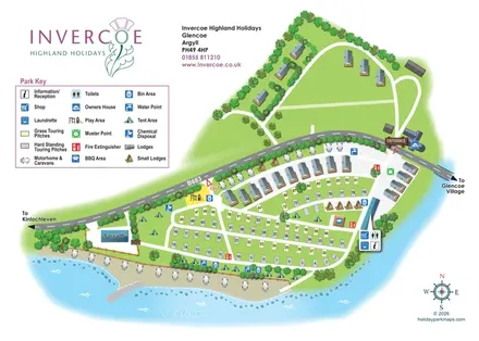
Illustrated lochside park map with mixed touring pitches, lodges and a road-divided layout at Invercoe, Glencoe.
 Explore the map ↗
United Kingdom
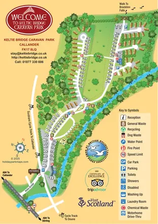
Illustrated riverside park map with mixed accommodation, a central green and walking and cycling connections.
 Explore the map ↗
United Kingdom
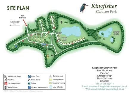
Tree-framed accommodation, lakeside homes and a woodland trail on Kingfisher Caravan Park's illustrated site plan.
 Explore the map ↗
United Kingdom
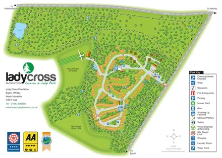
Woodland touring and lodge park map with numbered pitches, pond walks and a private aircraft field.
 Explore the map ↗
Australia
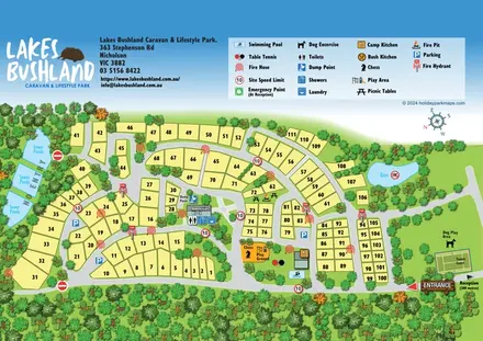
A tree-framed numbered site plan with curving roads, shared leisure facilities and a prominent pictorial legend.
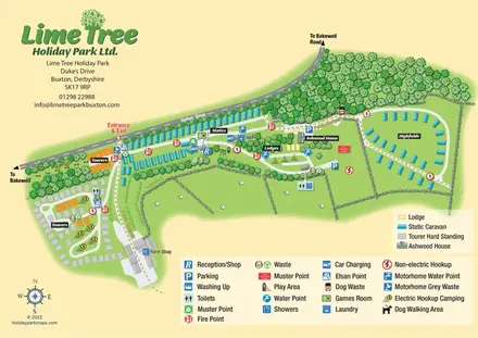 Explore the map ↗
United Kingdom
Mixed-accommodation park map with woodland, public footpaths and clearly differentiated service symbols.
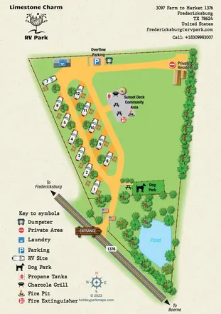 Explore the map ↗
United States
Portrait RV park map with angled pitches, a community deck, dog park and landscaped pond.
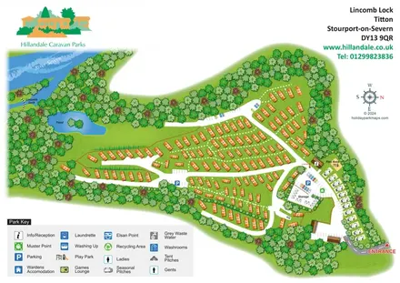 Explore the map ↗
United Kingdom
Wooded holiday-home park map with River Severn context, seasonal pitches and a clearly defined arrival area.
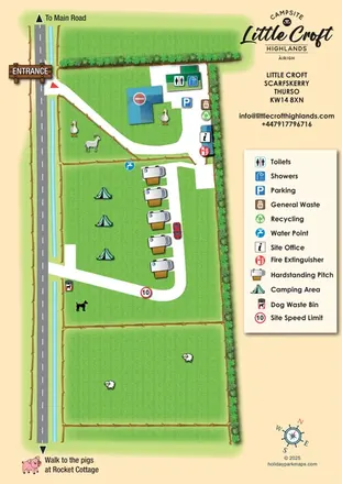 Explore the map ↗
United Kingdom
Portrait croft campsite map with motorhome hardstandings, open camping, livestock illustrations and a clear facility key.
 Explore the map ↗
United Kingdom
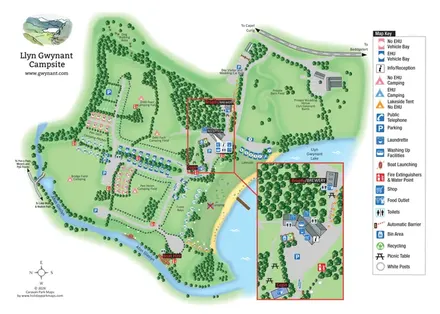
Illustrated lakeside campsite map with colour-coded pitches, named camping fields and an enlarged facilities inset.
 Explore the map ↗
United Kingdom
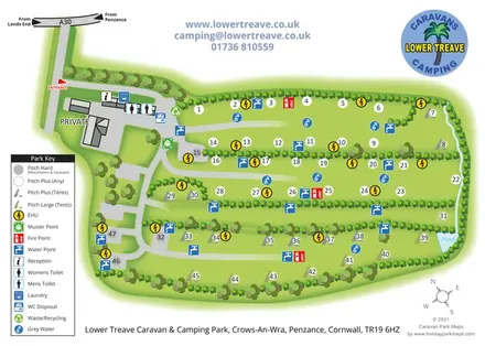
Historical Lower Treave campsite map with hedge-divided pitches, colour-coded services and an A30 approach diagram.
 Explore the map ↗
United Kingdom
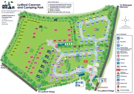
Colour-coded touring and camping pitches, linked road loops and a village footpath at Lydford.
 Explore the map ↗
United Kingdom
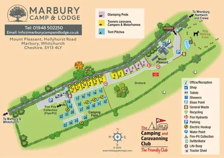
Colour-coded camping, touring and glamping map with an orchard, pond and dog-walking field.
 Explore the map ↗
United Kingdom
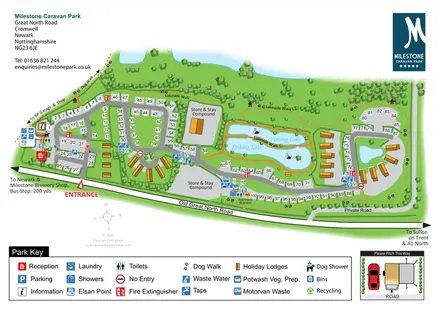
Overhead touring-park map with fishing lakes, holiday lodges, service icons and a pitching inset.
 Explore the map ↗
United Kingdom
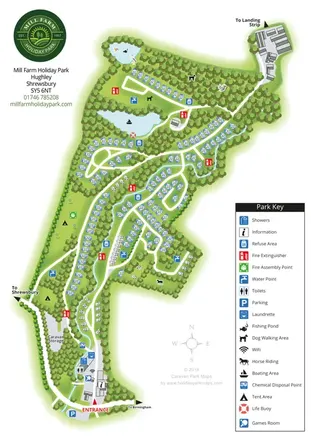
A wooded Shropshire park mapped with curved caravan rows, tent areas, ponds and a winding watercourse.
 Explore the map ↗
United Kingdom
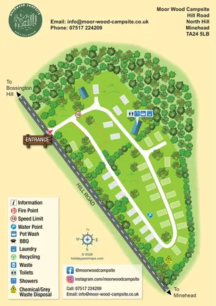
Woodland-framed campsite map with a diagonal road, loop lanes and grouped service-building symbols.
 Explore the map ↗
United Kingdom
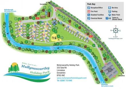
A colourful riverside park plan with numbered touring pitches, a cottage, static caravans and a central play area.
LET’S MAP YOUR PARK
For a map quotation, find your park and draw a rough boundary around it. The area you select helps us work out the design time and price.
Draw your park for a quote ↗Or talk to our map designers
01751 473136