
 Explore the map ↗
United Kingdom
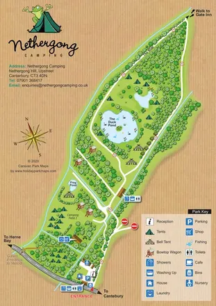
Nethergong Camping
Woodland campsite map with ponds, bell tents, bowtop wagons and a woodgrain surround.
THE HOLIDAY PARK MAP COLLECTION
Browse 24 map examples, from Nethergong Camping to Sleningford Watermill Caravan & Camping Park.
← Explore the whole collectionCombine a country, landscape, facilities and accommodation type to find relevant examples.
Showing 73–96 of 121 · Select a map to read its story
Explore the map ↗United Kingdom
Woodland campsite map with ponds, bell tents, bowtop wagons and a woodgrain surround.
 Explore the map ↗
United Kingdom
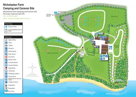
Coastal campsite map with three named fields, touring pitches, central amenities and woodland beach routes.
 Explore the map ↗
United Kingdom
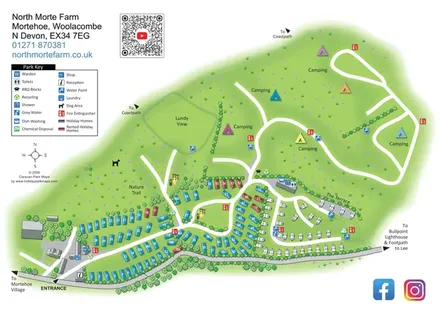
North Morte Farm map with colour-coded holiday homes, separate touring pitches and open camping fields beside coastpath connections.
 Explore the map ↗
United Kingdom
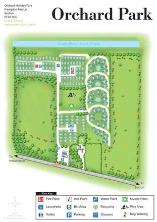
Orchard Holiday Park map with curved accommodation clusters, dog-walking lawns and a named waterside boundary.
 Explore the map ↗
United Kingdom
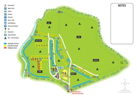
Riverside campsite plan with named fields, colour-coded pitches and a central amenity cluster.
 Explore the map ↗
United Kingdom
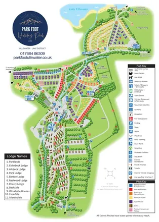
Portrait park map combining colour-coded pitches, static-caravan areas and Ullswater access.
 Explore the map ↗
United Kingdom
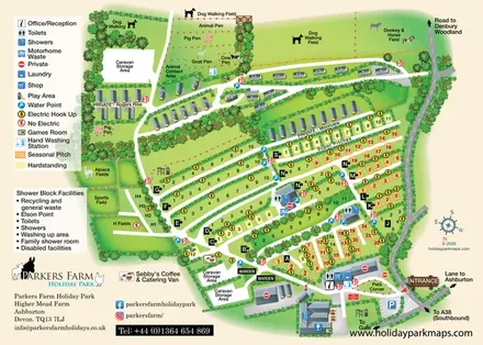
A farm-themed Devon holiday-park map with lettered pitch rows, caravan lanes, animal fields and detailed visitor facilities.
 Explore the map ↗
United Kingdom
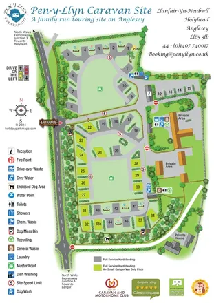
Landscaped Anglesey touring-site map with numbered hardstandings, service clusters and an enclosed dog area.
 Explore the map ↗
United Kingdom
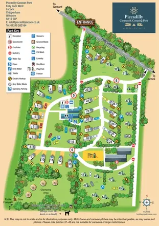
Illustrated touring, camping and glamping map with landscaped pitch groups, a central amenity hub and separate entrance and exit.
 Explore the map ↗
United States
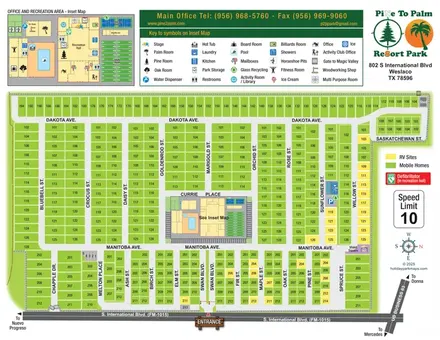
Colour-coded Texas resort plan with numbered lots and an enlarged recreation-area inset.
 Explore the map ↗
United Kingdom
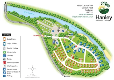
A tree-lined riverside park plan with colour-coded static, lodge and touring areas.
 Explore the map ↗
United Kingdom
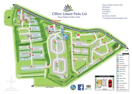
Whole-park and touring-area maps with named lanes, grouped facility callouts and dog-walking routes.
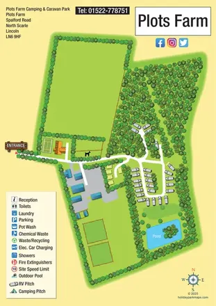 Explore the map ↗
United Kingdom
Portrait rural touring-park map with woodland pitches, a loop road and an island pond.
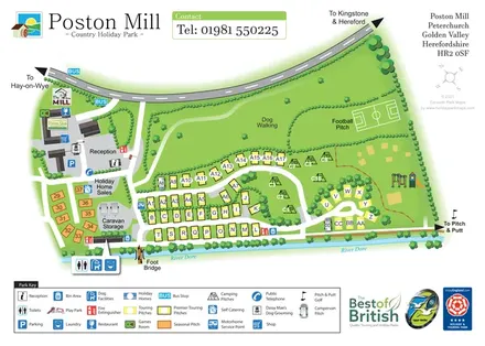 Explore the map ↗
United Kingdom
Riverside touring-park map with colour-coded pitches, dog-walking grounds and illustrated visitor facilities.
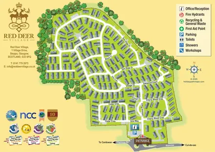 Explore the map ↗
United Kingdom
A street-led Red Deer Village map with shaded homes, tree-lined boundaries and a prominent entrance and reception.
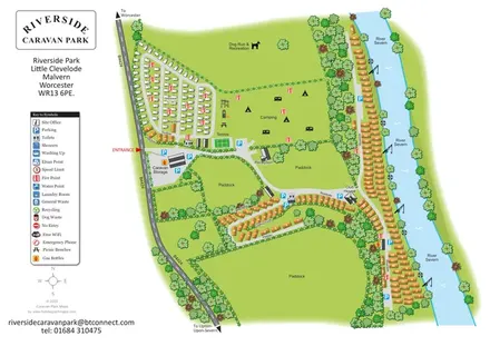 Explore the map ↗
United Kingdom
Illustrated riverside park plan with seasonal caravans, camping, paddocks and a long River Severn frontage.
 Explore the map ↗
United Kingdom
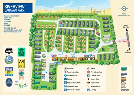
Beachfront park plan with touring pitches, static caravans, lodges and pictorial facility keys.
 Explore the map ↗
United Kingdom
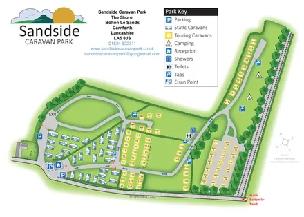
Colour-coded caravan and camping map with a railway-side extension and clearly marked visitor facilities.
 Explore the map ↗
United Kingdom
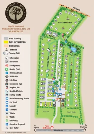
Portrait campsite map with touring and tent fields, shepherds’ huts, a pond and a boundary bridleway.
 Explore the map ↗
United Kingdom
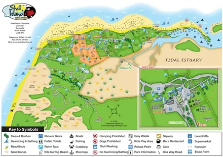
Coastal campsite map with named camping fields, harbour facilities and an enlarged arrival-hub inset.
 Explore the map ↗
United Kingdom
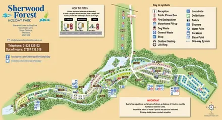
A colour-coded touring and camping map with wooded pitch areas, the River Maun, lakes and a pitching guide.
 Explore the map ↗
United Kingdom
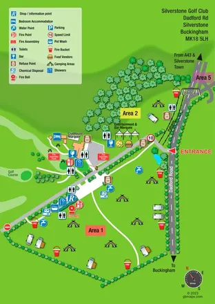
A bright, symbol-led event campsite map with open camping zones, golf-course scenery and a roadside bridge.
 Explore the map ↗
United Kingdom
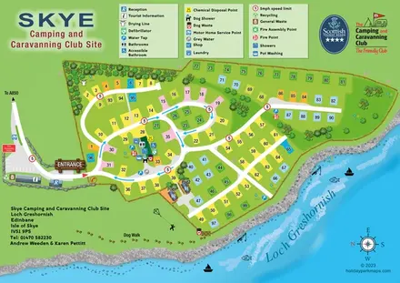
Lochside campsite map with numbered pitches, two pods and a paw-print dog walk.
 Explore the map ↗
United Kingdom
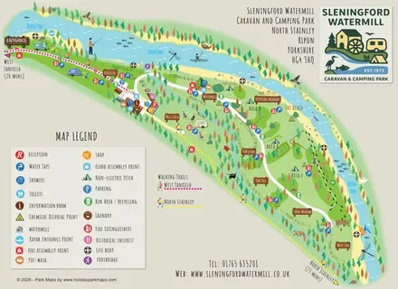
Illustrated riverside campsite map with named meadows, walking trails and a watermill service hub.
LET’S MAP YOUR PARK
For a map quotation, find your park and draw a rough boundary around it. The area you select helps us work out the design time and price.
Draw your park for a quote ↗Or talk to our map designers
01751 473136