
 Explore the map ↗
United Kingdom
Aberafon Campsite
Illustrated coastal campsite plan with named fields, electric pitch colours, beach routes and the Afon Hen.
THE HOLIDAY PARK MAP COLLECTION
See how woodland, forest edges and wooded areas help give each map its own character.
← Explore the whole collectionCombine a country, landscape, facilities and accommodation type to find relevant examples.
Showing 1–24 of 207 · Select a map to read its story
Explore the map ↗United Kingdom
Illustrated coastal campsite plan with named fields, electric pitch colours, beach routes and the Afon Hen.
 Explore the map ↗
United Kingdom
A woodland touring-park map with colour-coded pitches, a stream and footprint-marked walks.
 Explore the map ↗
United Kingdom
A wooded Allerton park plan with colour-coded neighbourhoods, touring pitches and a central facilities hub.
 Explore the map ↗
United Kingdom
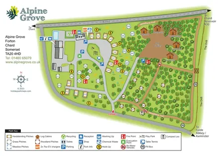
Colour-coded pitches, named log cabins and a woodland trail at Alpine Grove, Somerset.
 Explore the map ↗
United Kingdom
Ashby Park map with seven fishing lakes, colour-coded accommodation and illustrated wooded shorelines.
 Explore the map ↗
United Kingdom
Woodland camping, lodges, lakes and colour-coded bike trails at Avon Tyrrell Outdoor Centre.
 Explore the map ↗
United Kingdom
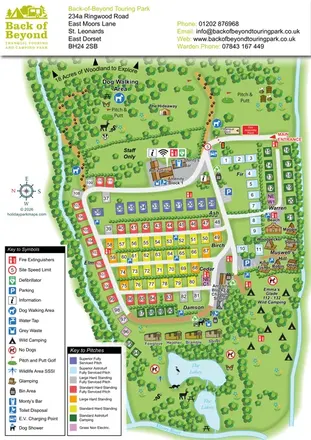
Colour-coded touring pitches, named glamping units and woodland routes at Back of Beyond Touring Park.
 Explore the map ↗
United Kingdom
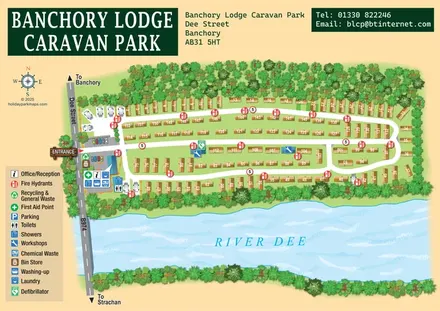
A tree-framed riverside park map with numbered caravans, linked road loops and a compact entrance facilities key.
 Explore the map ↗
United Kingdom
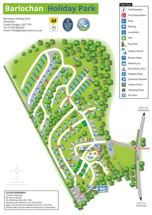
A wooded, mixed-accommodation park plan with winding lanes, a pool, camping areas and a clear facility key.
 Explore the map ↗
United Kingdom
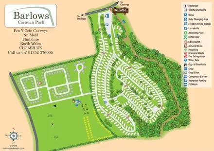
Overhead caravan-park map with wooded boundaries, contrasting pitch loops and a large recreation field.
 Explore the map ↗
United Kingdom
Woodland-framed Barnsoul map with mixed accommodation, shared facilities and paw-marked walking routes.
 Explore the map ↗
United Kingdom
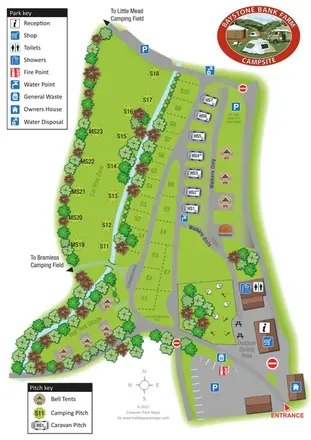
A stream-side farm campsite plan with car-free camping, caravan pitches and separate bell-tent areas.
 Explore the map ↗
United Kingdom
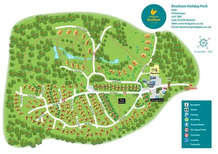
A woodland holiday-park plan with numbered homes, tree-named roads, walking loops and a distinctive entrance totem pole.
 Explore the map ↗
United Kingdom
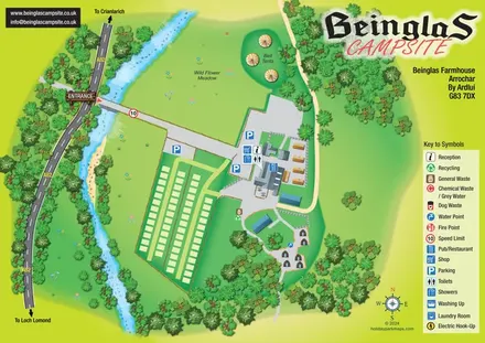
Riverside campsite map with a bridge entrance, wild flower meadow, bell tents and wooded hut paths.
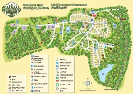 Explore the map ↗
United States
Woodland RV campground map with mixed camping, three water landmarks and a central recreation hub.
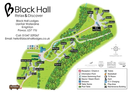 Explore the map ↗
United Kingdom
Named lodges, shepherds' huts and a shared leisure hub in a wooded countryside plan.
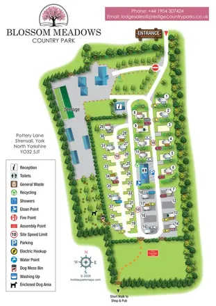 Explore the map ↗
United Kingdom
Tree-lined touring-park map with pitch loops, caravan storage, an enclosed dog area and a walking link towards local amenities.
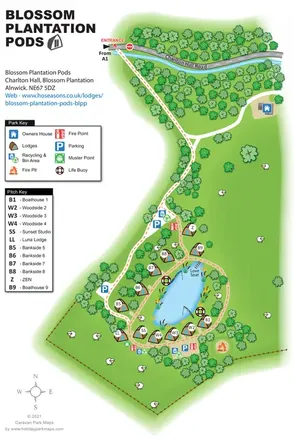 Explore the map ↗
United Kingdom
Illustrated lakeside pod map with woodland arrival routes, named lodges and a waterside circuit.
 Explore the map ↗
United Kingdom
Woodland park map with mixed pitches, bell tents, lodges and a fishing lake.
 Explore the map ↗
United Kingdom
A wooded, streamside park map with a linked farm, café, touring and cottage area.
 Explore the map ↗
United Kingdom
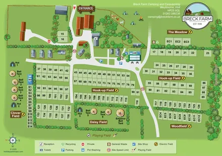
A field-based farm campsite map with numbered pitches, bell tents, huts and a wooded boundary.
 Explore the map ↗
United Kingdom
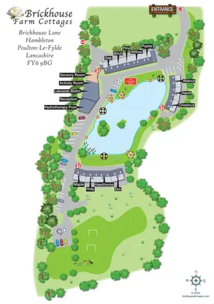
Lake-centred cottage retreat map with named roof terraces, bold pointer labels, hydrotherapy and sensory facilities, and a southern recreation lawn.
 Explore the map ↗
United Kingdom
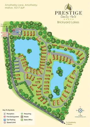
Brickyard Lakes map with lakeside holiday homes, wooded islands and clearly marked arrival facilities.
 Explore the map ↗
United Kingdom
A colour-zoned coastal park map with touring areas, woodland trails, ponds and a leisure club.
LET’S MAP YOUR PARK
For a map quotation, find your park and draw a rough boundary around it. The area you select helps us work out the design time and price.
Draw your park for a quote ↗Or talk to our map designers
01751 473136