
 Explore the map ↗
United Kingdom
59 Degrees North
Illustrated Sanday aire map with a seasonal maze, café barn and motorhome service area.
THE HOLIDAY PARK MAP COLLECTION
Explore coastal settings, beach access and seaside wayfinding across our illustrated park maps.
← Explore the whole collectionCombine a country, landscape, facilities and accommodation type to find relevant examples.
Showing 1–24 of 130 · Select a map to read its story
Explore the map ↗United Kingdom
Illustrated Sanday aire map with a seasonal maze, café barn and motorhome service area.
 Explore the map ↗
United Kingdom
Illustrated coastal campsite plan with named fields, electric pitch colours, beach routes and the Afon Hen.
 Explore the map ↗
United Kingdom
Coastal park map with static-caravan rows, touring pitches, a camping field and two leisure clusters.
 Explore the map ↗
United Kingdom
Illustrated coastal holiday-home plan with dense alphanumeric plot labels, orange-roofed amenities, a numbered facility key and beach-side context.
 Explore the map ↗
United Kingdom
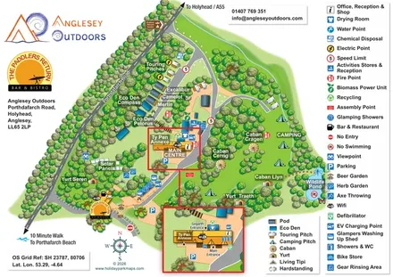
Illustrated camping and glamping map with an activity-centre inset and wildlife pond.
 Explore the map ↗
Ireland
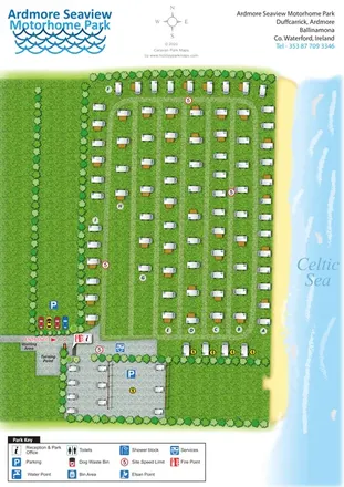
Coastal motorhome park map with lettered grass rows, entrance services and an illustrated Celtic Sea shoreline.
 Explore the map ↗
United Kingdom
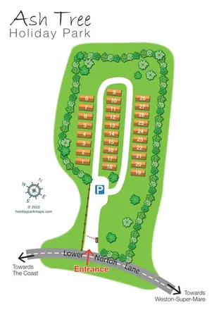
Tree-lined holiday-home park plan with a numbered road loop and clear Lower Norton Lane entrance.
 Explore the map ↗
United Kingdom
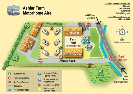
Illustrated motorhome aire map with farm buildings, service facilities and A841 arrival directions.
 Explore the map ↗
United Kingdom
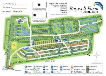
A colour-coded touring park plan with named pitch areas, service symbols and Coast Path links.
 Explore the map ↗
United Kingdom
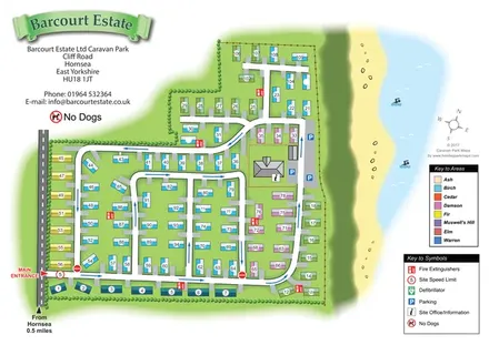
Colour-coded caravan plots and directional roads beside Hornsea’s coastal edge.
 Explore the map ↗
United Kingdom
Coastal park plan with colour-coded pitches, named neighbourhoods and a Morecambe Bay walking route.
 Explore the map ↗
United Kingdom
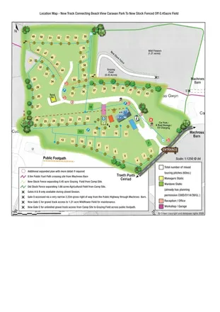
Illustrated touring-park plan with facilities, public footpaths and adjoining field-access details.
 Explore the map ↗
Australia
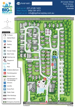
Tree-lined coastal park plan with colour-coded sites, separate entry and exit routes, and a pool-side visitor hub.
 Explore the map ↗
United Kingdom
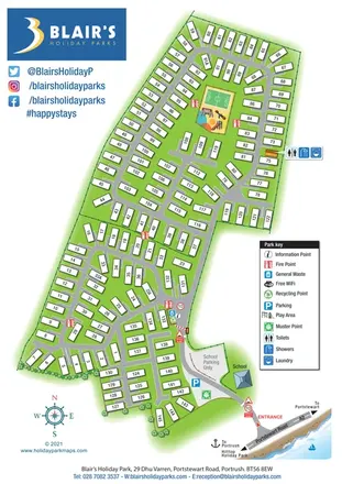
Numbered coastal holiday-home park map with clear arrival details, a play-and-ball-games enclosure and prominent Blair’s branding.
 Explore the map ↗
United Kingdom
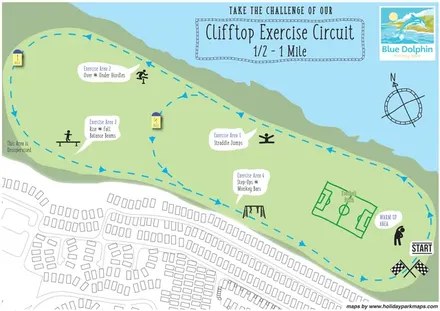
Clifftop exercise-circuit map with four activity stations, a shorter loop and football pitch.
 Explore the map ↗
United Kingdom
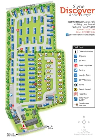
Tree-lined static and touring areas, coastal access and a clear facility key at Boothfield House Caravan Park.
 Explore the map ↗
United Kingdom
A colour-zoned coastal park map with touring areas, woodland trails, ponds and a leisure club.
 Explore the map ↗
United Kingdom
Tree-framed mixed-accommodation park map with two entrances, touring loops and a clearly illustrated social hub.
 Explore the map ↗
United Kingdom
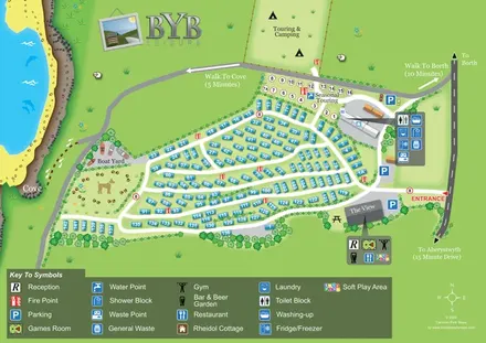
Coastal park map with numbered holiday homes, touring and camping areas, The View and walking routes to Borth and the cove.
 Explore the map ↗
United Kingdom
Colour-coded accommodation, central leisure facilities and coastal paths on an illustrated headland park map.
 Explore the map ↗
United Kingdom
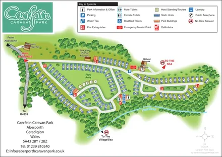
Woodland-framed caravan park plan with numbered and lettered units, a central play area and routes towards Aberporth’s village and sea.
 Explore the map ↗
United Kingdom
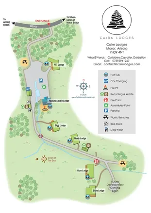
A softly coloured Highland lodge map with named accommodation, hot tubs, a wooded approach and coastal direction markers.
 Explore the map ↗
United Kingdom
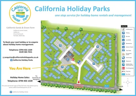
A numbered chalet-area plan with shared parking, winding footpaths and a clearly marked Sunbeach entrance.
 Explore the map ↗
United Kingdom
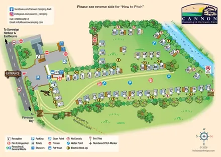
Illustrated touring-pitch plan and colour-coded coastal walking guide for Cannon Camping & Caravan Park.
LET’S MAP YOUR PARK
For a map quotation, find your park and draw a rough boundary around it. The area you select helps us work out the design time and price.
Draw your park for a quote ↗Or talk to our map designers
01751 473136