
 Explore the map ↗
United Kingdom
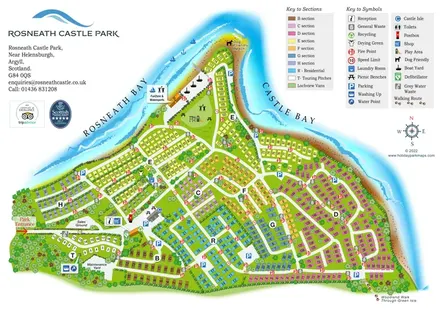
Rosneath Castle Park
Colour-coded peninsula park map with numbered accommodation, waterfront recreation and shoreline walks.
THE HOLIDAY PARK MAP COLLECTION
Browse 24 map examples, from Rosneath Castle Park to Three Cliffs Bay Holiday Park.
← Explore the whole collectionCombine a country, landscape, facilities and accommodation type to find relevant examples.
Showing 97–120 of 130 · Select a map to read its story
Explore the map ↗United Kingdom
Colour-coded peninsula park map with numbered accommodation, waterfront recreation and shoreline walks.
 Explore the map ↗
United Kingdom
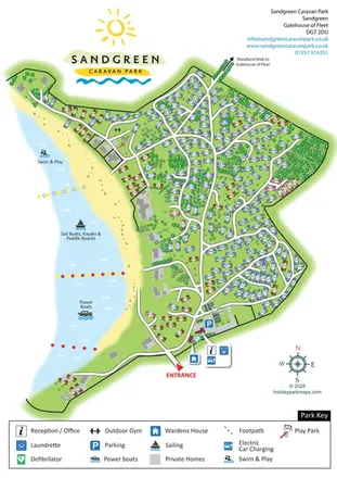
Wooded coastal park map with numbered holiday homes, beach activity zones and entrance facility callouts.
 Explore the map ↗
United Kingdom
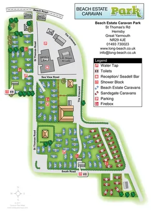
Colour-coded Beach Estate and Sandsgate caravan areas, linked by named roads and a clear facility key.
 Explore the map ↗
United Kingdom
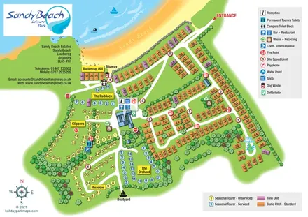
Coastal park map with colour-coded static and seasonal touring areas, beach access and boating landmarks.
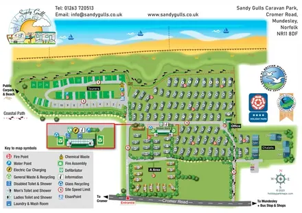 Explore the map ↗
United Kingdom
Illustrated coastal park plan with a companion Mundesley visitor map and regional arrival inset.
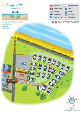 Explore the map ↗
United Kingdom
A compact Sea Palling caravan-park map with numbered statics, beach access and nearby amenities.
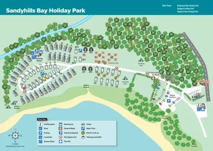 Explore the map ↗
United Kingdom
Coastal park map with mixed accommodation, separate arrival routes and clearly marked beach access.
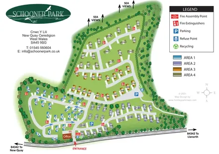 Explore the map ↗
United Kingdom
Four colour-coded residential areas, tree-lined roads and sea-view markers at Schooner Park, New Quay.
 Explore the map ↗
United Kingdom
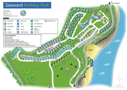
Coastal park map with named caravan sections, touring pitches, camping areas and a clearly illustrated facilities hub.
 Explore the map ↗
United Kingdom
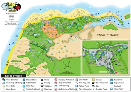
Coastal campsite map with named camping fields, harbour facilities and an enlarged arrival-hub inset.
 Explore the map ↗
United Kingdom
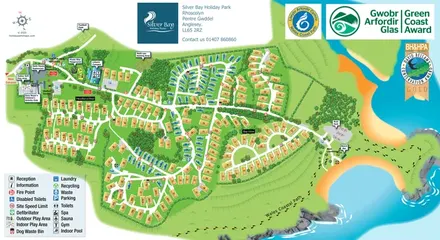
Illustrated Anglesey holiday-park map with numbered homes, family facilities and a footprint-marked coastal path.
 Explore the map ↗
United Kingdom
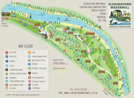
Illustrated riverside campsite map with named meadows, walking trails and a watermill service hub.
 Explore the map ↗
United Kingdom
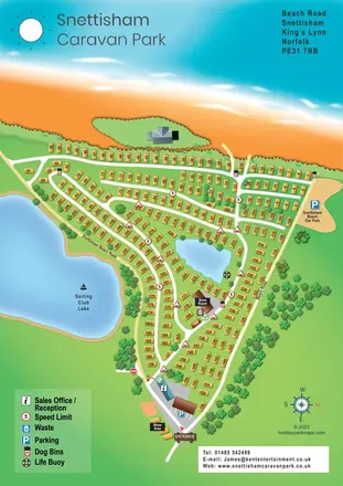
Numbered caravan rows, coastal scenery and lakeside routes at Snettisham Holiday Park.
 Explore the map ↗
United Kingdom
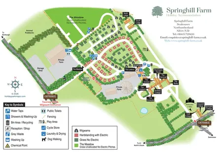
Mixed-accommodation farm map with separate entrances, touring loops, wigwams, cottages and an open camping meadow.
 Explore the map ↗
United Kingdom
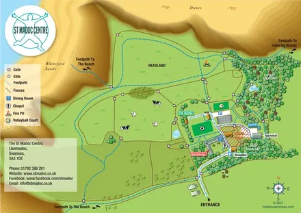
Illustrated group-centre map linking dormitories and activity spaces with woodland, headland and coastal paths.
 Explore the map ↗
United Kingdom
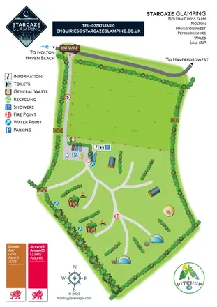
A hedge-lined Pembrokeshire glamping map with domes, shepherd's huts, branching routes and a shared arrival hub.
 Explore the map ↗
United Kingdom
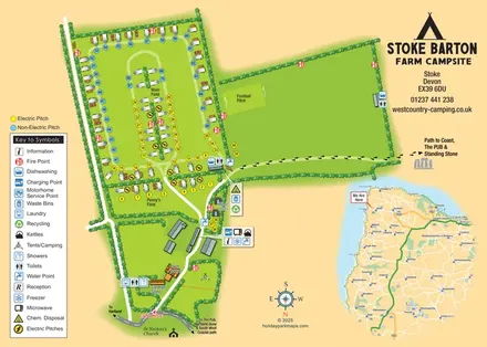
Farm campsite map with colour-coded pitches, Pixie Huts, coastal walking directions and a regional locator.
 Explore the map ↗
United Kingdom
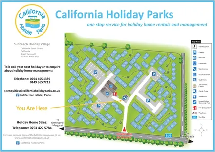
Numbered chalet blocks, communal lawns and shared parking on a branded Sunbeach Holiday Village map.
 Explore the map ↗
United Kingdom
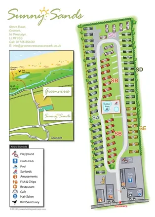
Colour-coded caravan park plan with an entrance leisure hub and a coastal location inset.
 Explore the map ↗
United Kingdom
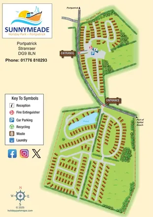
Illustrated Sunnymeade map with two entrances, pond-side accommodation and a nautical information column.
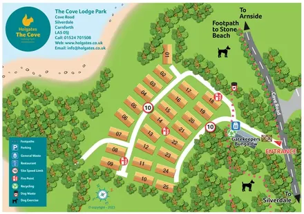 Explore the map ↗
United Kingdom
A coastal lodge park plan with numbered roofs, wooded margins and pink-dashed walking routes.
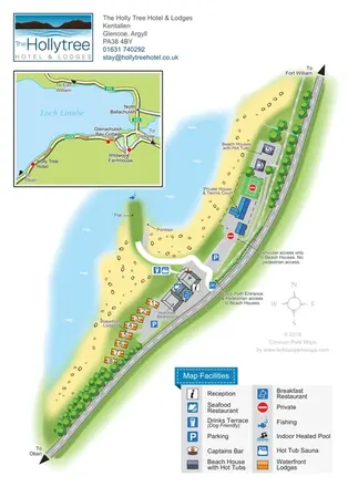 Explore the map ↗
United Kingdom
Lochside hotel and lodge map with colour-coded accommodation, separate access routes and a regional road inset.
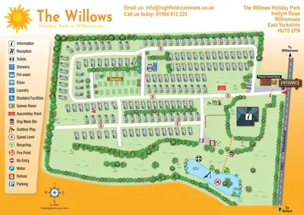 Explore the map ↗
United Kingdom
An overhead caravan and touring park map with sun branding, a pictogram key and an illustrated fishing lake.
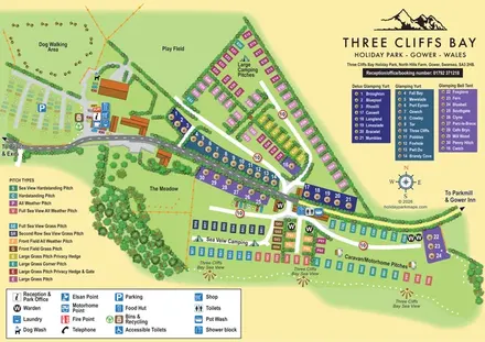 Explore the map ↗
United Kingdom
Colour-coded Gower park map with sea-view pitches, named glamping units and clearly grouped visitor facilities.
LET’S MAP YOUR PARK
For a map quotation, find your park and draw a rough boundary around it. The area you select helps us work out the design time and price.
Draw your park for a quote ↗Or talk to our map designers
01751 473136