
 Explore the map ↗
United Kingdom
Castle Point Caravan Park
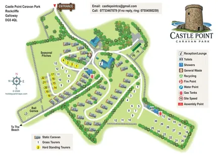
Illustrated mixed-accommodation park map with colour-coded touring pitches and a beach-direction route.
THE HOLIDAY PARK MAP COLLECTION
Browse 24 map examples, from Castle Point Caravan Park to Golden Sands Holiday Park (Withernsea).
← Explore the whole collectionCombine a country, landscape, facilities and accommodation type to find relevant examples.
Showing 25–48 of 130 · Select a map to read its story
Explore the map ↗United Kingdom
Illustrated mixed-accommodation park map with colour-coded touring pitches and a beach-direction route.
 Explore the map ↗
United Kingdom
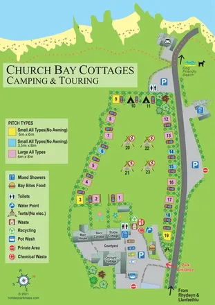
An illustrated coastal campsite map linking colour-coded pitches, farmhouse cottages and nearby Church Bay amenities.
 Explore the map ↗
United Kingdom
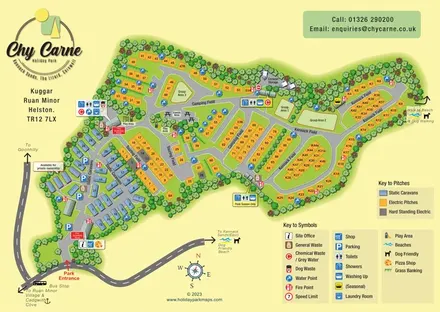
Tree-framed caravan, touring and camping map with named fields, seasonal facilities and beach-walk directions.
 Explore the map ↗
United Kingdom
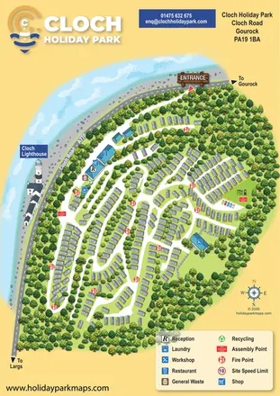
Woodland caravan-park map with coastal context, Cloch Lighthouse and clearly marked visitor facilities.
 Explore the map ↗
United Kingdom
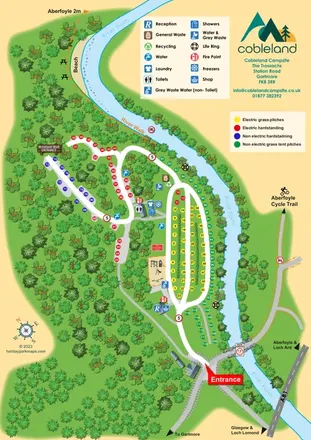
Colour-coded camping pitches, woodland routes and River Forth frontage at Cobleland Campsite.
 Explore the map ↗
United Kingdom
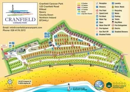
Colour-coded caravan sections, touring pitches and beach access on a coastal park map in County Down.
 Explore the map ↗
United Kingdom
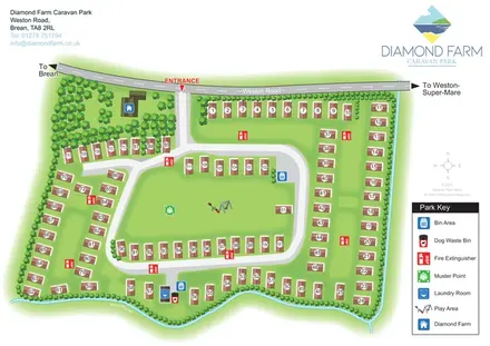
Numbered accommodation, a central green and tree-lined rhyne on the Diamond Farm park map.
 Explore the map ↗
Ireland
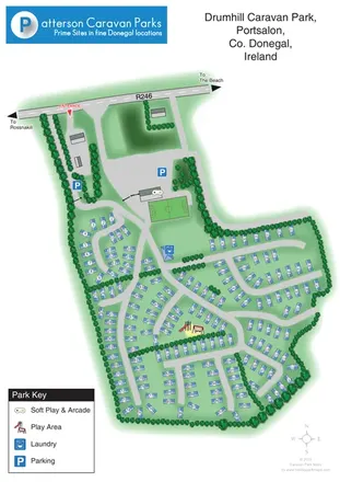
Numbered caravan park plan with tree-lined lanes, family facilities and beach-direction wayfinding in Portsalon.
 Explore the map ↗
Ireland
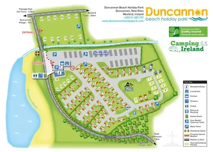
Beachside park plan with colour-coded mobile homes, touring/camping areas, glamping cabins and grouped service symbols.
 Explore the map ↗
United Kingdom
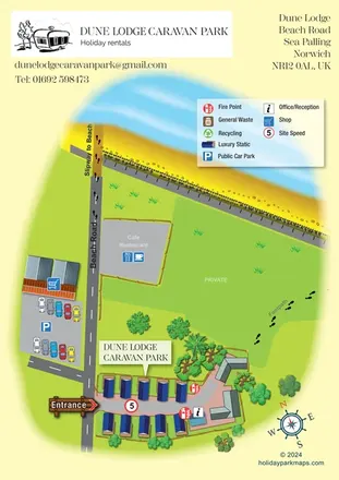
A compact static-caravan park map showing Beach Road, nearby amenities and the beach approach at Sea Palling.
 Explore the map ↗
United Kingdom
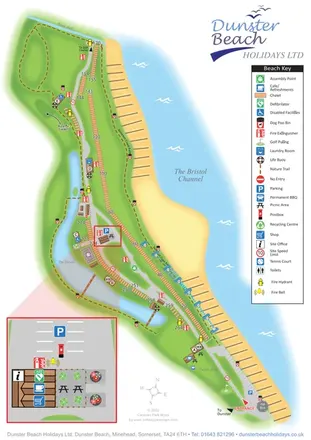
Coastal chalet map with waterside trails, a vertical key and an enlarged visitor-services inset.
 Explore the map ↗
United Kingdom
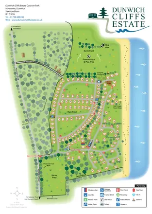
Coastal caravan estate map with woodland walks, open fields and clearly marked beach steps.
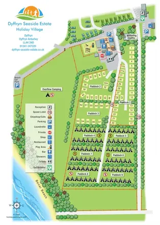 Explore the map ↗
United Kingdom
Portrait seaside park map with nine paddocks, an amenities hub and illustrated Benar Beach.
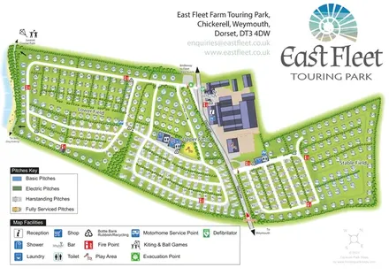 Explore the map ↗
United Kingdom
Coastal touring-park plan with three named fields, four pitch categories and lagoon-side walking connections.
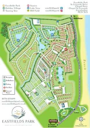 Explore the map ↗
United Kingdom
Six colour-coded neighbourhoods, lakeside layouts and coastal access on the Eastfields Park map.
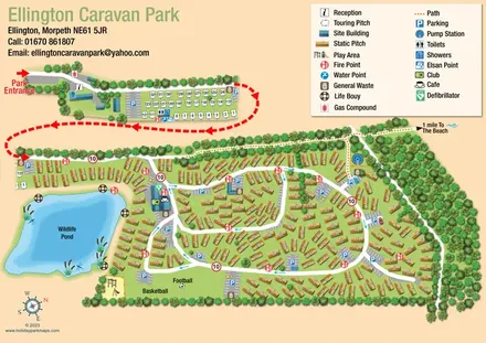 Explore the map ↗
United Kingdom
Illustrated caravan-park plan with a wildlife pond, separate touring area and beach-bound footpath.
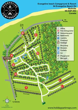 Explore the map ↗
Canada
Coastal campground plan with numbered pitches, service labels, wooded loops and a prominent facility legend.
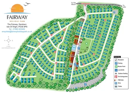 Explore the map ↗
United Kingdom
Tree-bordered caravan park plan with a central pool, picnic lawn and clearly labelled accommodation groups.
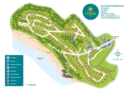 Explore the map ↗
United Kingdom
Coastal holiday-home map with numbered plots, named roads and an illustrated Morecambe Bay shoreline.
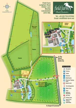 Explore the map ↗
United Kingdom
An illustrated equestrian holiday-farm map with riding facilities, paddocks, a fishing lake and an enlarged accommodation hub.
 Explore the map ↗
United Kingdom
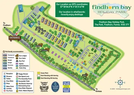
Illustrated mixed-accommodation park plan with colour-coded caravans, named eco units and a touring loop.
 Explore the map ↗
United Kingdom
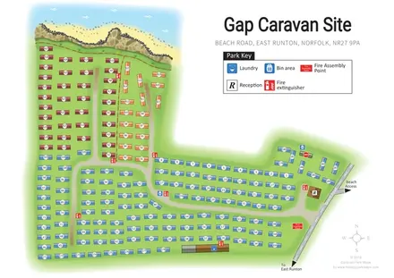
Colour-coded caravan rows, clear visitor facilities and an illustrated cliff-top setting at Gap Caravan Site, East Runton.
 Explore the map ↗
United Kingdom
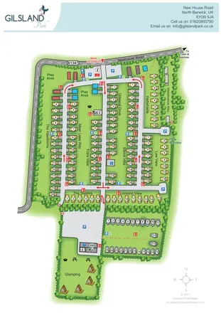
Branded North Berwick park map with named caravan rows, traffic arrows and a separate glamping garden.
 Explore the map ↗
United Kingdom
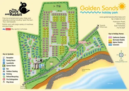
Colour-coded caravan and chalet map with coastal scenery, two road-side entrances and The Duck and Rabbit facilities.
LET’S MAP YOUR PARK
For a map quotation, find your park and draw a rough boundary around it. The area you select helps us work out the design time and price.
Draw your park for a quote ↗Or talk to our map designers
01751 473136