
 Explore the map ↗
United Kingdom
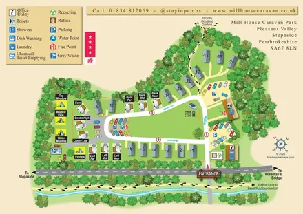
Mill House Caravan Park
A tree-framed mixed-accommodation park map with a central green, service icons and coastal walking connections.
THE HOLIDAY PARK MAP COLLECTION
Browse 24 map examples, from Mill House Caravan Park to Rosguill Holiday Park.
← Explore the whole collectionCombine a country, landscape, facilities and accommodation type to find relevant examples.
Showing 73–96 of 130 · Select a map to read its story
Explore the map ↗United Kingdom
A tree-framed mixed-accommodation park map with a central green, service icons and coastal walking connections.
 Explore the map ↗
United Kingdom
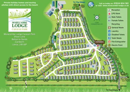
Coastal caravan-park plan with numbered holiday homes, a contrasting touring area and footprint-marked pedestrian route.
 Explore the map ↗
United Kingdom
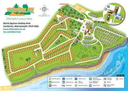
Coastal park plan with mixed accommodation, bird-themed pitch areas and an enlarged facilities inset.
 Explore the map ↗
United Kingdom
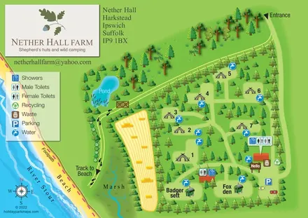
Tree-sheltered camping and named shepherd’s huts beside the River Stour at Nether Hall Farm.
 Explore the map ↗
United Kingdom
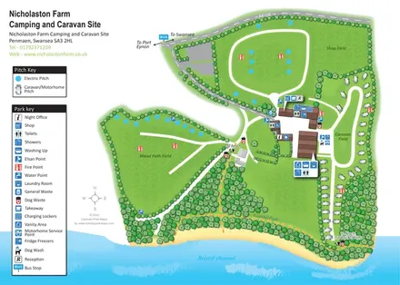
Coastal campsite map with three named fields, touring pitches, central amenities and woodland beach routes.
 Explore the map ↗
United Kingdom
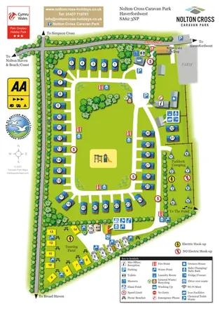
Portrait park map with a central caravan loop, separate touring field and fenced camping paddock.
 Explore the map ↗
United Kingdom
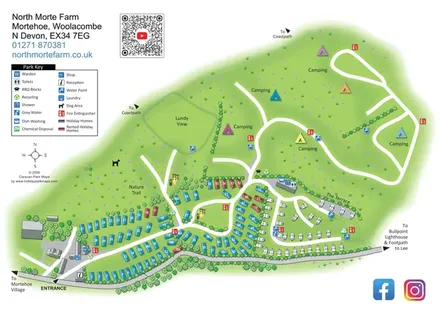
North Morte Farm map with colour-coded holiday homes, separate touring pitches and open camping fields beside coastpath connections.
 Explore the map ↗
United Kingdom
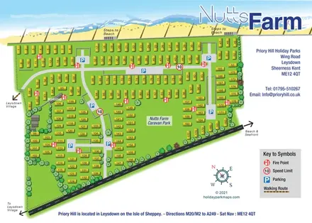
Numbered coastal caravan-park plan with beach steps, distributed parking and a nautical compass.
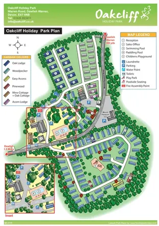 Explore the map ↗
United Kingdom
Tree-lined Oakcliff park plan with colour-coded accommodation, pool facilities and an enlarged arrival-area inset.
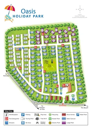 Explore the map ↗
United Kingdom
Colour-coded touring, lodge and static-caravan areas around a central play park, with a clearly marked California Road entrance.
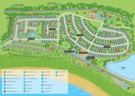 Explore the map ↗
United Kingdom
Coastal holiday-park plan with named caravan neighbourhoods, dune paths, leisure facilities and a wildlife lake.
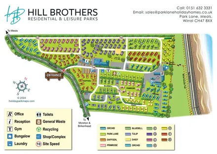 Explore the map ↗
United Kingdom
Colour-coded holiday-home neighbourhoods beside the Wirral coast, with facility keys and a marked beach-access route.
 Explore the map ↗
United Kingdom
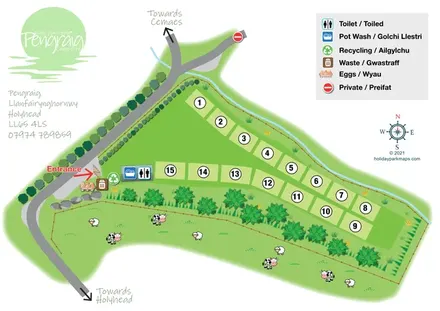
Bilingual Pengraig campsite plan with numbered grass pitches, entrance-side facilities and illustrated adjoining pasture.
 Explore the map ↗
United Kingdom
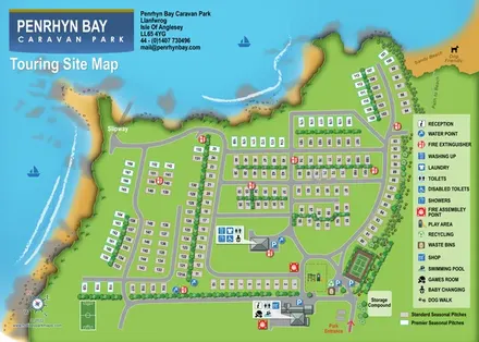
Coastal touring-site map with colour-coded seasonal pitches, facility callouts, a slipway and beach access.
 Explore the map ↗
United Kingdom
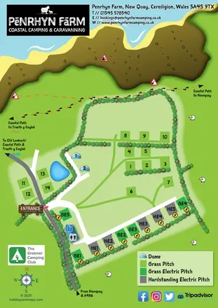
A colourful coastal farm campsite map with electric pitches, geodesic domes and footprint-marked walking routes.
 Explore the map ↗
United Kingdom
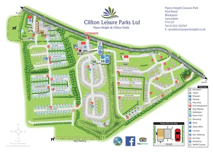
Whole-park and touring-area maps with named lanes, grouped facility callouts and dog-walking routes.
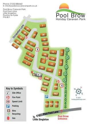 Explore the map ↗
United Kingdom
Portrait caravan park plan with numbered orange units, a planted boundary and clear entrance wayfinding.
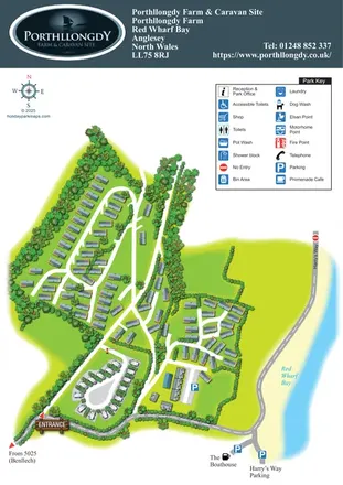 Explore the map ↗
United Kingdom
A coastal park plan with tree-lined accommodation groups, a touring loop and Red Wharf Bay frontage.
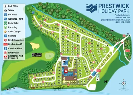 Explore the map ↗
United Kingdom
A numbered Ayrshire park plan with wooded burns, central facilities and a coastal-path connection.
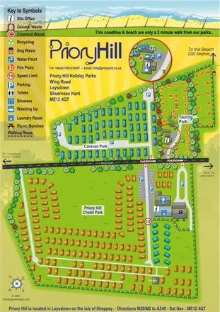 Explore the map ↗
United Kingdom
Colour-coded coastal park map with chalet, caravan and touring areas, plus an enlarged touring service inset.
 Explore the map ↗
United Kingdom
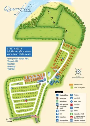
Coastal park map combining numbered touring pitches, orange caravans and a footprint-marked beach route.
 Explore the map ↗
United Kingdom
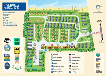
Beachfront park plan with touring pitches, static caravans, lodges and pictorial facility keys.
 Explore the map ↗
United Kingdom
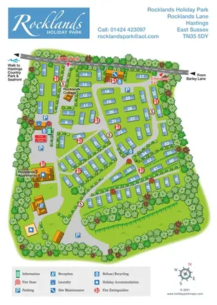
Numbered caravans, terraced grounds and practical wayfinding at Rocklands Holiday Park, Hastings.
 Explore the map ↗
Ireland
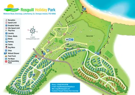
Illustrated coastal park plan with mobile-home loops, visitor pitches, pitch and putt, and a beach path.
LET’S MAP YOUR PARK
For a map quotation, find your park and draw a rough boundary around it. The area you select helps us work out the design time and price.
Draw your park for a quote ↗Or talk to our map designers
01751 473136