
 Explore the map ↗
United Kingdom
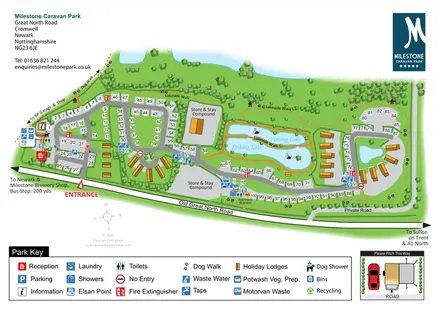
Milestone Caravan Park
Overhead touring-park map with fishing lakes, holiday lodges, service icons and a pitching inset.
THE HOLIDAY PARK MAP COLLECTION
Browse 24 map examples, from Milestone Caravan Park to Spring Lea Fishery & Holiday Park.
← Explore the whole collectionCombine a country, landscape, facilities and accommodation type to find relevant examples.
Showing 73–96 of 120 · Select a map to read its story
Explore the map ↗United Kingdom
Overhead touring-park map with fishing lakes, holiday lodges, service icons and a pitching inset.
 Explore the map ↗
United Kingdom
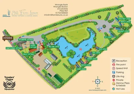
Lake-centred cottage and lodge map with named properties, hot tubs and illustrated waterside terraces.
 Explore the map ↗
United Kingdom
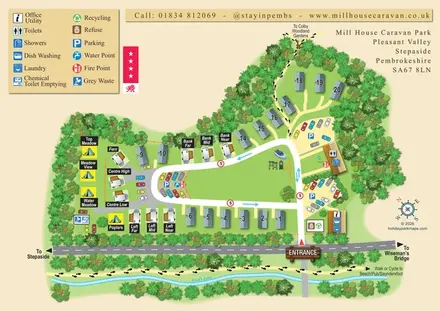
A tree-framed mixed-accommodation park map with a central green, service icons and coastal walking connections.
 Explore the map ↗
United Kingdom
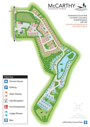
Portrait park map with colour-coded static and lodge pitches, a lake-side road loop and a large illustrated key.
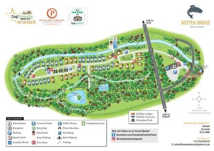 Explore the map ↗
United Kingdom
Illustrated riverside park map with colour-coded accommodation, fishing lakes and woodland dog-walking routes.
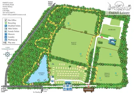 Explore the map ↗
United Kingdom
Illustrated Oakhill Leisure map with fishing lake, woodland walks, pitch rows and open rally fields.
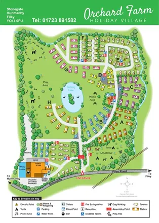 Explore the map ↗
United Kingdom
Colour-coded caravan sections, a fishing lake and tent meadow on a tree-lined Hunmanby holiday village map.
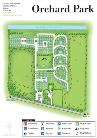 Explore the map ↗
United Kingdom
Orchard Holiday Park map with curved accommodation clusters, dog-walking lawns and a named waterside boundary.
 Explore the map ↗
United Kingdom
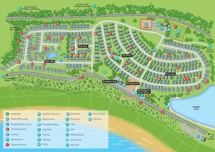
Coastal holiday-park plan with named caravan neighbourhoods, dune paths, leisure facilities and a wildlife lake.
 Explore the map ↗
United Kingdom
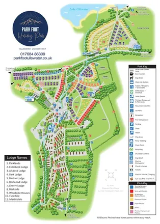
Portrait park map combining colour-coded pitches, static-caravan areas and Ullswater access.
 Explore the map ↗
United Kingdom
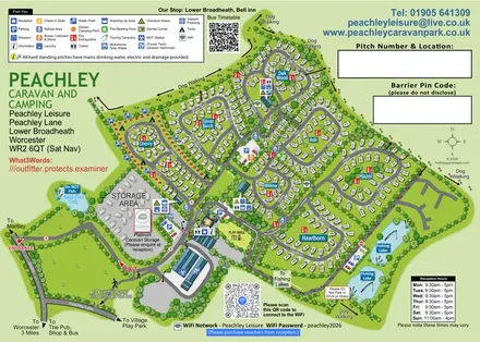
Tree-named touring areas, electric camping pitches and fishing lakes on an illustrated Peachley Leisure visitor map.
 Explore the map ↗
United Kingdom
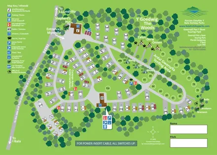
Bilingual touring, camping and glamping map with woodland, numbered pitches and illustrated amenities.
 Explore the map ↗
United Kingdom
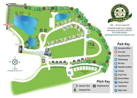
Illustrated touring and glamping park map with fishing lake, named huts and separate visitor keys.
 Explore the map ↗
United Kingdom
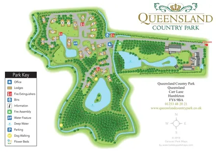
A landscape-led lodge park map with numbered plots, woodland walks, island ponds and prominent green-and-gold branding.
 Explore the map ↗
United Kingdom
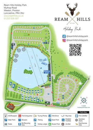
Lake-centred park map with touring areas, lodges, geodesic domes and illustrated watersports.
 Explore the map ↗
United Kingdom
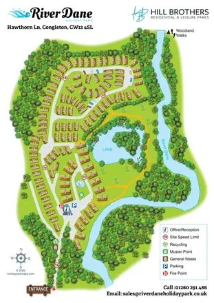
Numbered holiday-home plots, a wooded lake and the River Dane in a branded portrait park map.
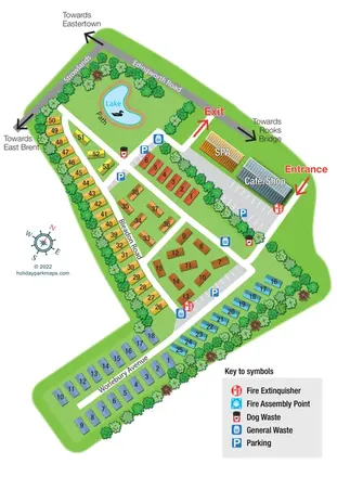 Explore the map ↗
United Kingdom
Colour-coded accommodation, a lakeside path and clearly marked arrival routes at Rookery Manor.
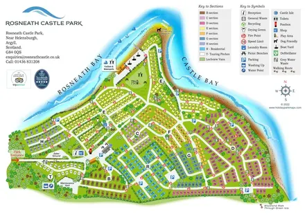 Explore the map ↗
United Kingdom
Colour-coded peninsula park map with numbered accommodation, waterfront recreation and shoreline walks.
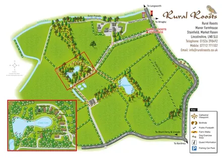 Explore the map ↗
United Kingdom
Rural Roosts farm overview with lakeside lodge inset, walking routes and countryside visitor features.
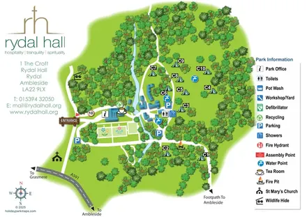 Explore the map ↗
United Kingdom
Rydal Hall’s wooded estate, camping clearings and visitor facilities in a bright illustrated plan.
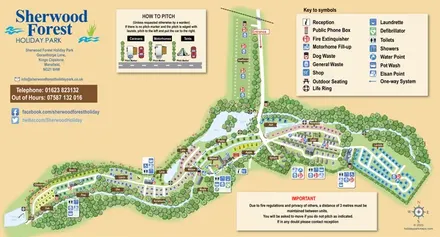 Explore the map ↗
United Kingdom
A colour-coded touring and camping map with wooded pitch areas, the River Maun, lakes and a pitching guide.
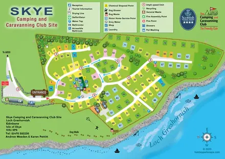 Explore the map ↗
United Kingdom
Lochside campsite map with numbered pitches, two pods and a paw-print dog walk.
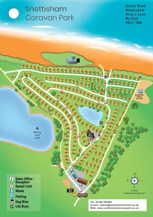 Explore the map ↗
United Kingdom
Numbered caravan rows, coastal scenery and lakeside routes at Snettisham Holiday Park.
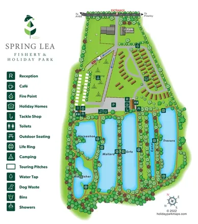 Explore the map ↗
United Kingdom
Illustrated Spring Lea park map combining six named fishing waters, holiday homes, touring pitches and camping.
LET’S MAP YOUR PARK
For a map quotation, find your park and draw a rough boundary around it. The area you select helps us work out the design time and price.
Draw your park for a quote ↗Or talk to our map designers
01751 473136