
 Explore the map ↗
United Kingdom
Aberafon Campsite
Illustrated coastal campsite plan with named fields, electric pitch colours, beach routes and the Afon Hen.
THE HOLIDAY PARK MAP COLLECTION
Follow rivers, streams and waterside routes through these park-map examples.
← Explore the whole collectionCombine a country, landscape, facilities and accommodation type to find relevant examples.
Showing 1–24 of 153 · Select a map to read its story
Explore the map ↗United Kingdom
Illustrated coastal campsite plan with named fields, electric pitch colours, beach routes and the Afon Hen.
 Explore the map ↗
United Kingdom
A woodland touring-park map with colour-coded pitches, a stream and footprint-marked walks.
 Explore the map ↗
United Kingdom
Colour-coded campsite map with riverside pitches, bell tents, a swimming pool and fishing lake.
 Explore the map ↗
United Kingdom
Woodland camping, lodges, lakes and colour-coded bike trails at Avon Tyrrell Outdoor Centre.
 Explore the map ↗
United Kingdom
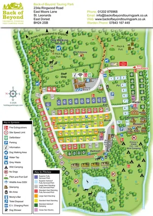
Colour-coded touring pitches, named glamping units and woodland routes at Back of Beyond Touring Park.
 Explore the map ↗
United Kingdom
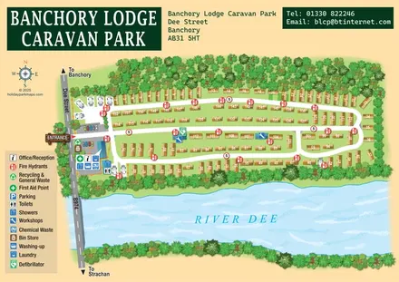
A tree-framed riverside park map with numbered caravans, linked road loops and a compact entrance facilities key.
 Explore the map ↗
United Kingdom
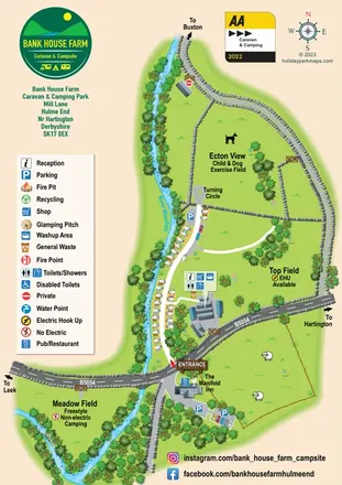
Riverside campsite map with named camping fields, touring-caravan rows and illustrated stone-wall boundaries.
 Explore the map ↗
United Kingdom
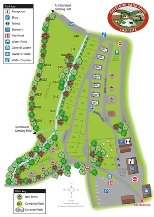
A stream-side farm campsite plan with car-free camping, caravan pitches and separate bell-tent areas.
 Explore the map ↗
United Kingdom
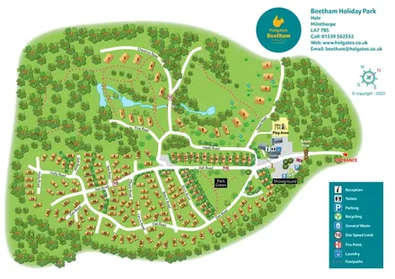
A woodland holiday-park plan with numbered homes, tree-named roads, walking loops and a distinctive entrance totem pole.
 Explore the map ↗
United Kingdom
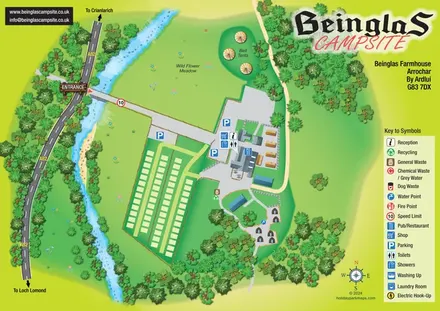
Riverside campsite map with a bridge entrance, wild flower meadow, bell tents and wooded hut paths.
 Explore the map ↗
United Kingdom
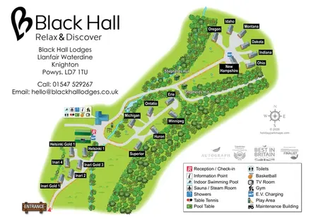
Named lodges, shepherds' huts and a shared leisure hub in a wooded countryside plan.
 Explore the map ↗
United Kingdom
Woodland park map with mixed pitches, bell tents, lodges and a fishing lake.
 Explore the map ↗
United Kingdom
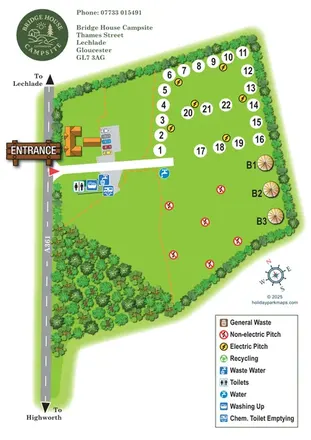
Leafy campsite map with numbered electric pitches, open camping and a prominent illustrated entrance.
 Explore the map ↗
United Kingdom
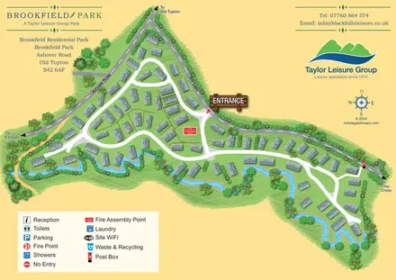
Numbered residential park homes, curving access roads and a meandering watercourse at Brookfield Park.
 Explore the map ↗
United Kingdom
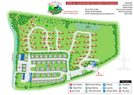
Tree-framed park plan combining touring rows, holiday homes, a brook and a wildlife enclosure.
 Explore the map ↗
United Kingdom
Riverside park map with named pitch fields, illustrated huts and a paw-print dog walk.
 Explore the map ↗
United Kingdom
Illustrated lakeside park plan with numbered holiday units, leisure buildings and a looping Woodland Walk.
 Explore the map ↗
Australia
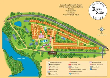
Numbered cabin rows, central amenities and wooded Ovens River frontage at Bundalong Riverside Resort.
 Explore the map ↗
United Kingdom
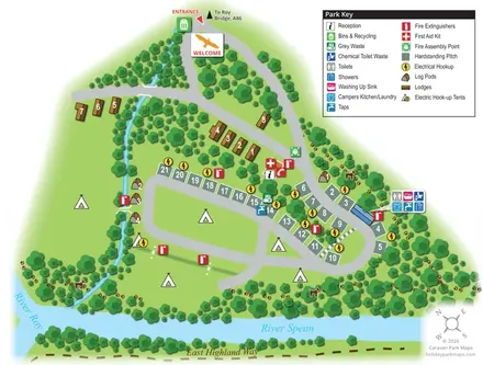
A wooded riverside map combining lodges, log pods, touring hardstandings and open camping at Bunroy Park.
 Explore the map ↗
United Kingdom
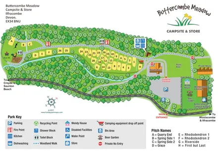
Woodland-framed campsite map with riverside pitches, named plots and an entrance-side beer garden.
 Explore the map ↗
United Kingdom
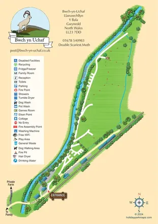
Landscape-led campsite map framed by Afon Twrch and the Bala Lake Railway.
 Explore the map ↗
United Kingdom
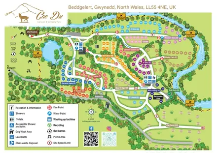
Colour-coded camping park plan with mountain-named pitches, a riverside walk and Family Zone.
 Explore the map ↗
United Kingdom
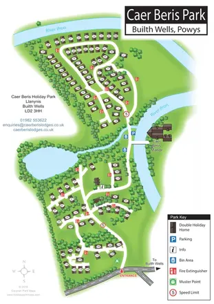
Portrait holiday-home park map with riverside loops, a tree-fringed pond and a separate manor landmark.
 Explore the map ↗
United Kingdom
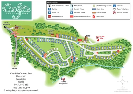
Woodland-framed caravan park plan with numbered and lettered units, a central play area and routes towards Aberporth’s village and sea.
LET’S MAP YOUR PARK
For a map quotation, find your park and draw a rough boundary around it. The area you select helps us work out the design time and price.
Draw your park for a quote ↗Or talk to our map designers
01751 473136