
 Explore the map ↗
United Kingdom
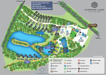
Fairwood Lakes Holiday Park
A woodland-and-lakes lodge park map with named accommodation areas, an island walk and clearly labelled parking.
THE HOLIDAY PARK MAP COLLECTION
Browse 24 map examples, from Fairwood Lakes Holiday Park to Henstent Holiday Park.
← Explore the whole collectionCombine a country, landscape, facilities and accommodation type to find relevant examples.
Showing 49–72 of 153 · Select a map to read its story
Explore the map ↗United Kingdom
A woodland-and-lakes lodge park map with named accommodation areas, an island walk and clearly labelled parking.
 Explore the map ↗
United Kingdom
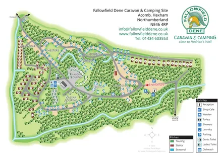
Woodland park plan with Roman-named sections, colour-coded pitches and clearly marked arrival facilities.
 Explore the map ↗
United Kingdom
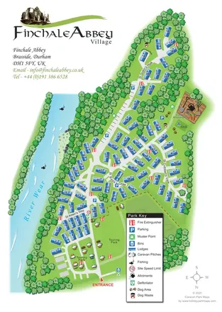
Finchale Abbey park map with numbered lodges, touring areas, River Wear frontage and village allotments.
 Explore the map ↗
United Kingdom
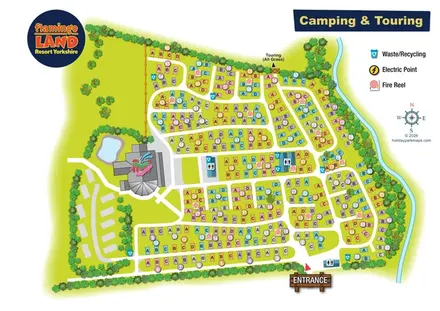
Colour-coded camping and touring plan with lettered pitches, numbered groups and illustrated landscape boundaries.
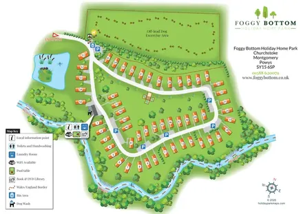 Explore the map ↗
United Kingdom
Numbered holiday homes, a riverside border setting and a dedicated dog exercise field at Foggy Bottom.
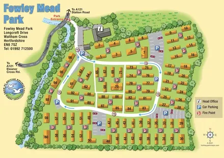 Explore the map ↗
United Kingdom
Numbered residential park homes, shared parking and a blue-arrow circulation loop beside the Small River Lea.
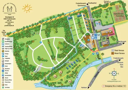 Explore the map ↗
Denmark
Illustrated canal-side campsite and hostel map with cabins, tipis, walking routes and town connections.
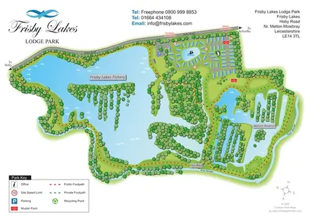 Explore the map ↗
United Kingdom
Landscape-led lodge park map with a fishery, swimming lake, nature reserve and colour-coded footpaths.
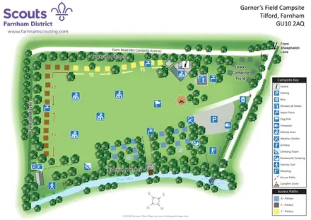 Explore the map ↗
United Kingdom
Scout campsite map with colour-coded camping sectors, outdoor activities and River Wey landmarks.
 Explore the map ↗
United Kingdom
Illustrated farm campsite map with touring pitches, pods, camping fields and a riverside dog-walk route.
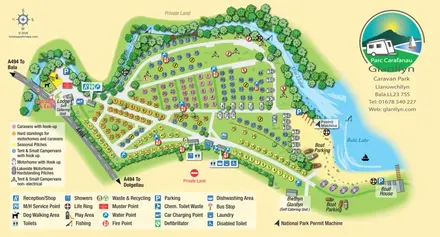 Explore the map ↗
United Kingdom
Colour-coded touring and camping map beside Afon Llafar and Bala Lake, with bilingual Glanllyn branding.
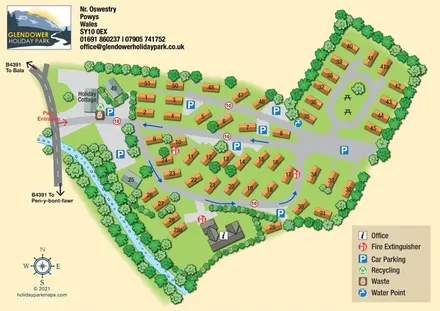 Explore the map ↗
United Kingdom
Tree-lined caravan park plan with numbered plots, linked road loops, a holiday cottage and a waterside boundary.
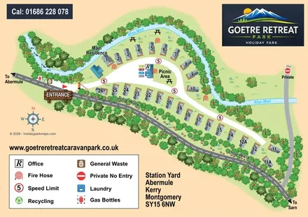 Explore the map ↗
United Kingdom
A compact riverside caravan park map with a curved entrance loop, numbered homes and a paw-print dog walk.
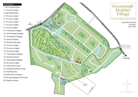 Explore the map ↗
United Kingdom
Numbered lodge and cottage areas, golf, ponds and shared facilities on a landscaped Goosnargh site plan.
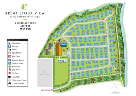 Explore the map ↗
United Kingdom
Numbered residential plots, shared facilities and a planted riverside boundary at Great Stour View, Ashford.
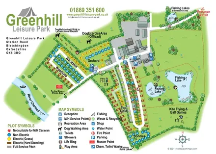 Explore the map ↗
United Kingdom
Illustrated camping and touring map with fishing lakes, dog areas and colour-coded pitches.
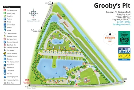 Explore the map ↗
United Kingdom
A lakeside touring-park map with distinct pitch groups, fishing facilities and a detailed pictorial key.
 Explore the map ↗
United Kingdom
A lakeside holiday-park and fishery map with numbered accommodation, fishing positions and clearly grouped visitor services.
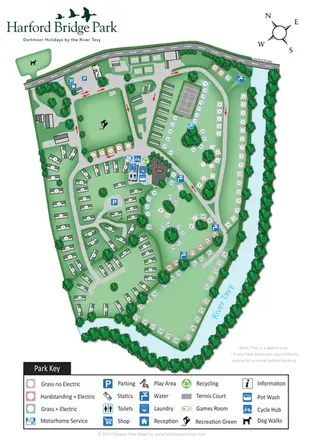 Explore the map ↗
United Kingdom
Riverside park map with colour-coded pitches, static caravan groups and a comprehensive facilities key.
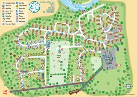 Explore the map ↗
United Kingdom
Riverside caravan and camping map with colour-coded traffic routes and a comprehensive facilities key.
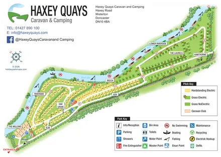 Explore the map ↗
United Kingdom
A diagonal riverside pitch map with named sections, colour-coded pitch types and separate visitor-facility keys.
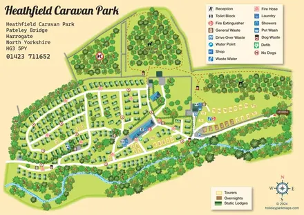 Explore the map ↗
United Kingdom
A detailed countryside park plan with static accommodation, touring pitches, woodland dog walks and a winding watercourse.
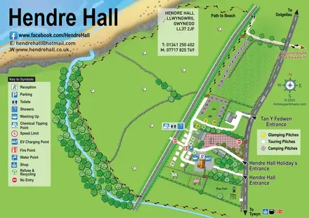 Explore the map ↗
United Kingdom
Coastal camping, touring and glamping map with a railway-side layout, beach path and illustrated rural surroundings.
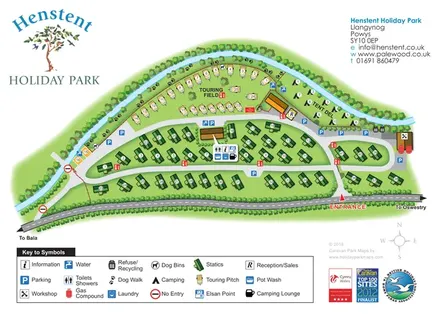 Explore the map ↗
United Kingdom
A tree-lined riverside park plan with colour-coded accommodation, a paw-print dog walk and a comprehensive visitor-service key.
LET’S MAP YOUR PARK
For a map quotation, find your park and draw a rough boundary around it. The area you select helps us work out the design time and price.
Draw your park for a quote ↗Or talk to our map designers
01751 473136