
 Explore the map ↗
United Kingdom
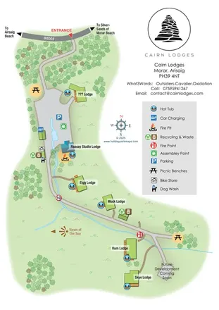
Cairn Lodges
A softly coloured Highland lodge map with named accommodation, hot tubs, a wooded approach and coastal direction markers.
THE HOLIDAY PARK MAP COLLECTION
Browse 24 map examples, from Cairn Lodges to Eden Valley Holiday Park.
← Explore the whole collectionCombine a country, landscape, facilities and accommodation type to find relevant examples.
Showing 25–48 of 153 · Select a map to read its story
Explore the map ↗United Kingdom
A softly coloured Highland lodge map with named accommodation, hot tubs, a wooded approach and coastal direction markers.
 Explore the map ↗
United Kingdom
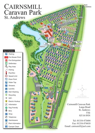
Portrait park map combining numbered caravan rows, touring and tent areas with a reservoir-side recreation hub.
 Explore the map ↗
United Kingdom
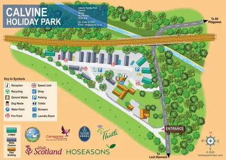
Wooded caravan and lodge park map with railway, watercourse and clearly marked B847 entrance.
 Explore the map ↗
France
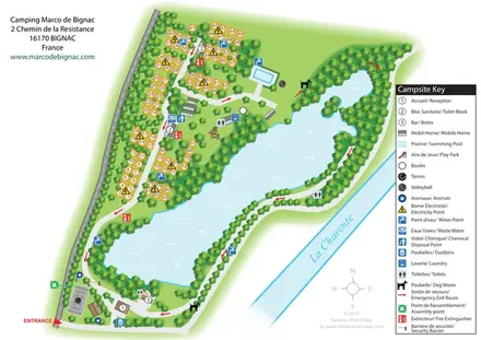
Bilingual lakeside campsite map with numbered pitches, recreation areas and colour-coded service points.
 Explore the map ↗
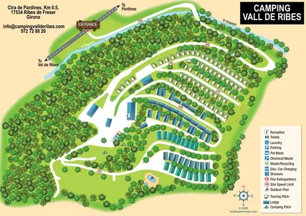
Spain
Wooded campsite map with a river-crossing approach, curved touring rows, lodges and paired outdoor pools.
 Explore the map ↗
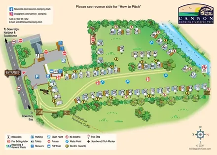
United Kingdom
Illustrated touring-pitch plan and colour-coded coastal walking guide for Cannon Camping & Caravan Park.
 Explore the map ↗
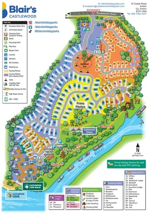
United Kingdom
A colourful riverside park map combining touring pitches, holiday accommodation and treetop adventures.
 Explore the map ↗
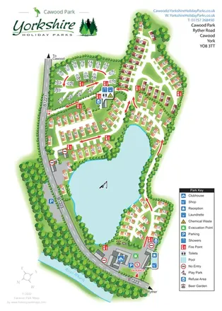
United Kingdom
A lake-centred Cawood Park map with touring pitches, tree-lined holiday homes and clear entrance facilities.
 Explore the map ↗
United Kingdom
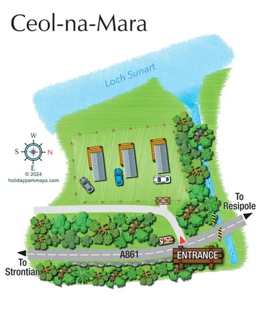
A compact Ceol-na-Mara site map showing three units, adjacent parking and the A861 entrance beside Loch Sunart.
 Explore the map ↗
United Kingdom
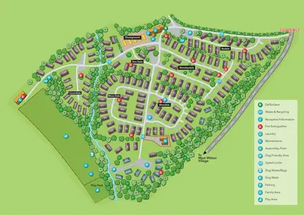
Numbered holiday homes, named sections and a tree-lined stream at Chantry Holiday Park.
 Explore the map ↗
United Kingdom
Woodland holiday homes, named camping fields and farm buildings on a colour-coded Nether Wasdale park map.
 Explore the map ↗
United Kingdom
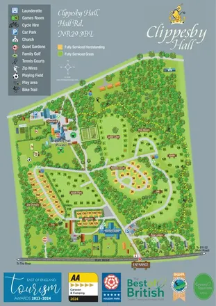
Woodland estate map with named pitch areas, serviced-pitch colours and a yellow dashed bike trail.
 Explore the map ↗
United Kingdom
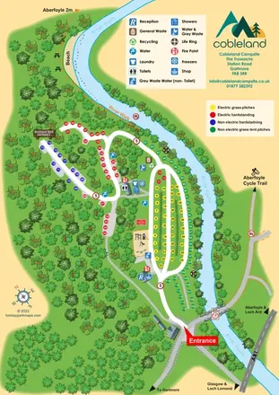
Colour-coded camping pitches, woodland routes and River Forth frontage at Cobleland Campsite.
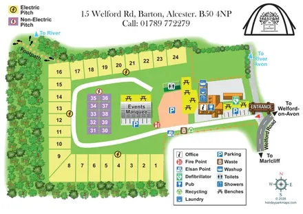 Explore the map ↗
United Kingdom
Illustrated pub campsite plan with colour-coded pitches, an events marquee and river-bound footpath.
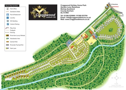 Explore the map ↗
United Kingdom
Colour-coded holiday-home and touring areas beside the River Gaunless, with woodland walks and a detailed visitor key.
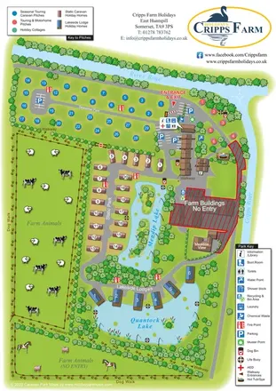 Explore the map ↗
United Kingdom
Illustrated farm holiday park plan combining riverside pitches, lakeside accommodation, animal fields and paw-print walking routes, with separate accommodation and facilities keys.
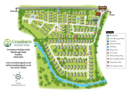 Explore the map ↗
United Kingdom
Numbered holiday homes, three named areas and a riverside dog walk at Crossburn Holiday Park, Peebles.
 Explore the map ↗
United Kingdom
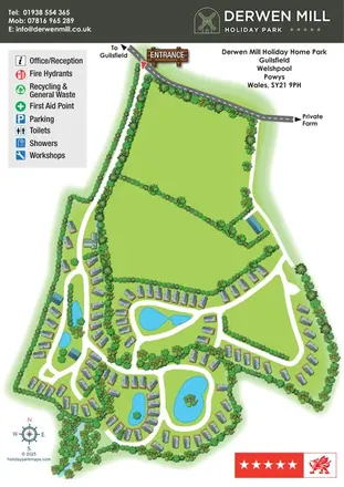
Landscape-led holiday park map with winding lanes, lakes, planted islands and grey-roofed holiday homes.
 Explore the map ↗
United Kingdom
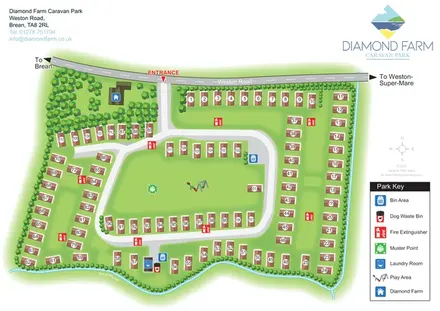
Numbered accommodation, a central green and tree-lined rhyne on the Diamond Farm park map.
 Explore the map ↗
United Kingdom
Illustrated caravan park plan with woodland and riverside walks, fishing pools and wildlife panels.
 Explore the map ↗
Ireland
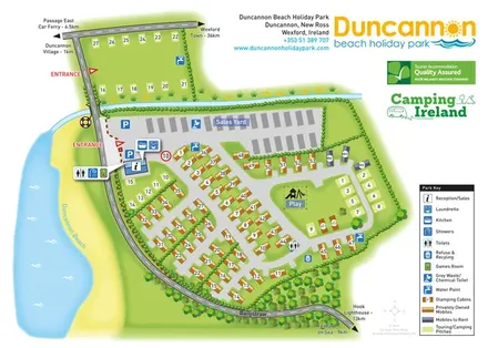
Beachside park plan with colour-coded mobile homes, touring/camping areas, glamping cabins and grouped service symbols.
 Explore the map ↗
United Kingdom
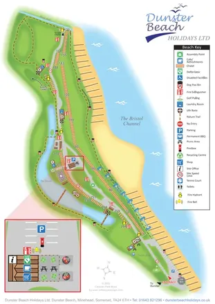
Coastal chalet map with waterside trails, a vertical key and an enlarged visitor-services inset.
 Explore the map ↗
United Kingdom
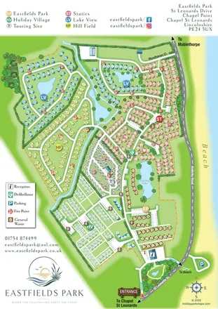
Six colour-coded neighbourhoods, lakeside layouts and coastal access on the Eastfields Park map.
 Explore the map ↗
United Kingdom
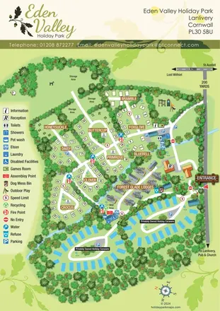
A tree-lined Cornwall park map with flower-named pitches, Forest Glade Lodges and two private-caravan loops.
LET’S MAP YOUR PARK
For a map quotation, find your park and draw a rough boundary around it. The area you select helps us work out the design time and price.
Draw your park for a quote ↗Or talk to our map designers
01751 473136