
 Explore the map ↗
United Kingdom
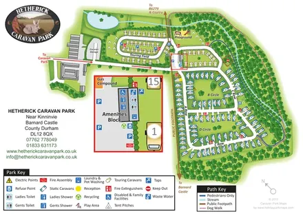
Hetherick Caravan Park
Woodland caravan park map with named pitch areas, walking routes and an enlarged amenities block.
THE HOLIDAY PARK MAP COLLECTION
Browse 24 map examples, from Hetherick Caravan Park to Mellington Hall Holiday Home Park.
← Explore the whole collectionCombine a country, landscape, facilities and accommodation type to find relevant examples.
Showing 73–96 of 153 · Select a map to read its story
Explore the map ↗United Kingdom
Woodland caravan park map with named pitch areas, walking routes and an enlarged amenities block.
 Explore the map ↗
United Kingdom
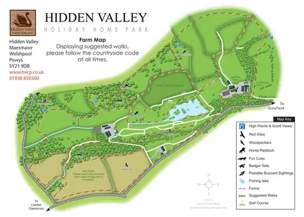
Hidden Valley farm map with suggested walks, wildlife landmarks, viewpoints and a fishing lake.
 Explore the map ↗
United Kingdom
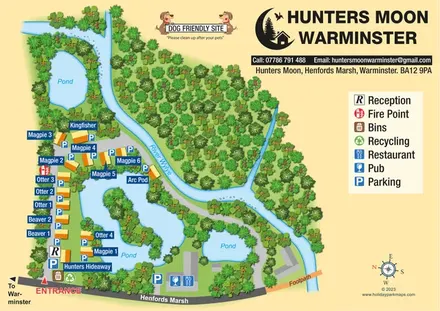
Named lodges, waterside landmarks and clear arrival information at Hunters Moon, Warminster.
 Explore the map ↗
United Kingdom
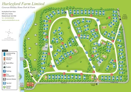
Numbered holiday-home pitches, tree-lined roads and riverside landmarks at Hurleyford Farm Park.
 Explore the map ↗
United Kingdom
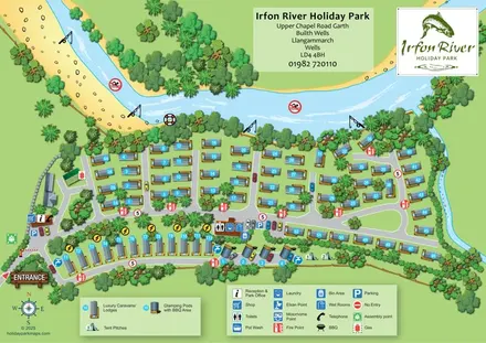
A river-led illustrated plan with numbered caravans/lodges, a pod and tent strip, and clearly marked arrival facilities.
 Explore the map ↗
United Kingdom
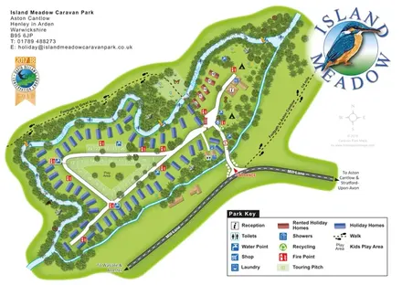
Riverside island park map with colour-coded holiday homes, a central touring loop and footprint-marked village paths.
 Explore the map ↗
United Kingdom
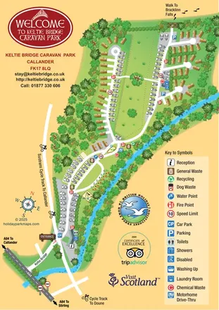
Illustrated riverside park map with mixed accommodation, a central green and walking and cycling connections.
 Explore the map ↗
United Kingdom
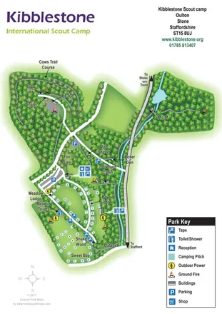
Illustrated Scout campsite map with wooded camping clearings, named buildings and shared-facility symbols.
 Explore the map ↗
United Kingdom
A woodland estate park map combining caravan loops, touring pitches, riverside paths and Bruce’s Cave landmarks.
 Explore the map ↗
United Kingdom
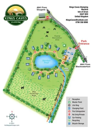
Pond-centred glamping map with numbered lodges, recreation lawns and a footprint-marked forest trail.
 Explore the map ↗
United Kingdom
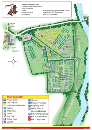
Colour-coded pitches, private statics and riverside walks at Knight Stainforth Hall.
 Explore the map ↗
United Kingdom
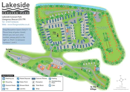
Tree-framed caravan, camping and touring map at Llangorse, with named fields, river frontage and routes to the lake and village.
 Explore the map ↗
United Kingdom
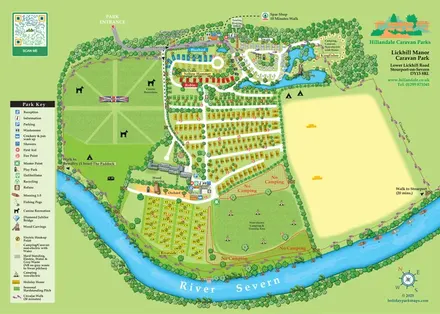
Illustrated riverside park map with colour-coded accommodation, named touring areas and a footprint-marked circular walk.
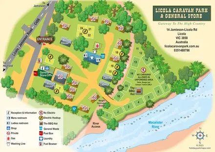 Explore the map ↗
Australia
Illustrated Licola park map with riverside camping, cabins, bunkhouses and a general-store arrival area.
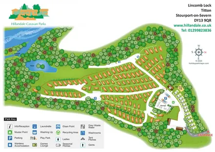 Explore the map ↗
United Kingdom
Wooded holiday-home park map with River Severn context, seasonal pitches and a clearly defined arrival area.
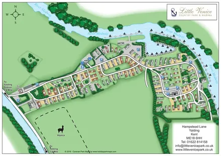 Explore the map ↗
United Kingdom
Illustrated riverside park plan with numbered holiday homes, marina moorings and an alpaca enclosure.
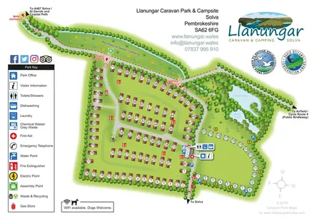 Explore the map ↗
United Kingdom
Illustrated Llanungar park plan with static caravans, camping pitches, wildlife ponds and clearly marked entrances.
 Explore the map ↗
United Kingdom
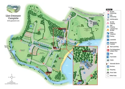
Illustrated lakeside campsite map with colour-coded pitches, named camping fields and an enlarged facilities inset.
 Explore the map ↗
United Kingdom
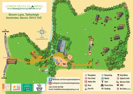
A named safari-lodge map with farm paddocks, shared outdoor amenities and a tree-lined stream.
 Explore the map ↗
United Kingdom
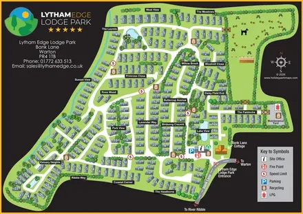
A branded, numbered site plan with landscaped neighbourhoods, ponds and a dog-themed recreation area.
 Explore the map ↗
United Kingdom
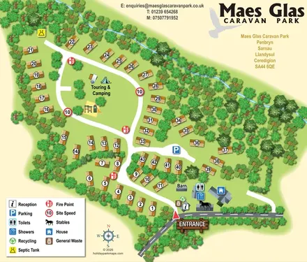
Tree-framed caravan park map with a central touring lawn, playground and clearly marked entrance facilities.
 Explore the map ↗
United Kingdom
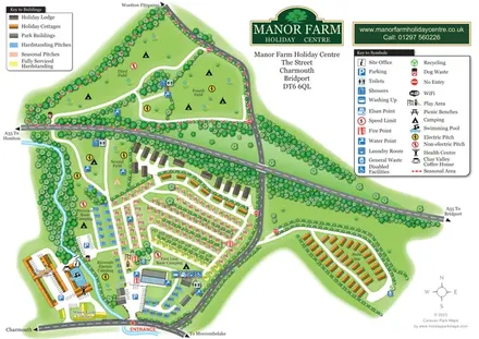
Colour-coded pitches, riverside camping and separate accommodation areas at Manor Farm Holiday Centre, Dorset.
 Explore the map ↗
United Kingdom
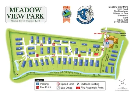
Meadow View Park map with numbered homes, Riverbank Lodges, directional roads and planted waterside boundaries.
 Explore the map ↗
United Kingdom
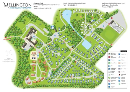
Wooded estate map with named lodge areas, lakeside touring, a hall-side arrival hub and Offa's Dyke Path.
LET’S MAP YOUR PARK
For a map quotation, find your park and draw a rough boundary around it. The area you select helps us work out the design time and price.
Draw your park for a quote ↗Or talk to our map designers
01751 473136