
 Explore the map ↗
United Kingdom
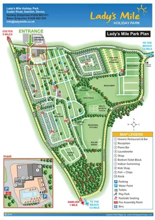
Lady's Mile Holiday Park
Portrait park plan with named fields, numbered accommodation, beach directions and an enlarged leisure-complex inset.
THE HOLIDAY PARK MAP COLLECTION
Browse 24 map examples, from Lady's Mile Holiday Park to Orchard Holiday Park.
← Explore the whole collectionCombine a country, landscape, facilities and accommodation type to find relevant examples.
Showing 49–72 of 117 · Select a map to read its story
Explore the map ↗United Kingdom
Portrait park plan with named fields, numbered accommodation, beach directions and an enlarged leisure-complex inset.
 Explore the map ↗
United Kingdom
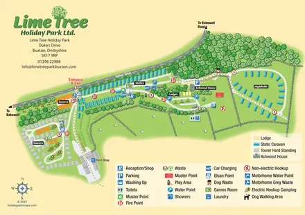
Mixed-accommodation park map with woodland, public footpaths and clearly differentiated service symbols.
 Explore the map ↗
United Kingdom
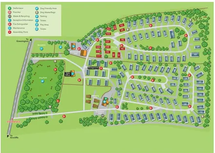
Illustrated Littondale park plan with numbered caravans, touring plots, glamping pods and a prominent dog field.
 Explore the map ↗
United Kingdom
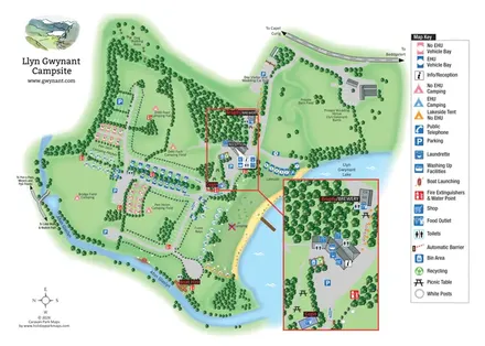
Illustrated lakeside campsite map with colour-coded pitches, named camping fields and an enlarged facilities inset.
 Explore the map ↗
United Kingdom
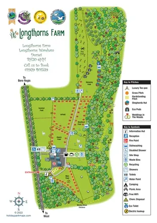
Illustrated Dorset farm map with camping fields, three glamping styles, woodland walking and wedding locations.
 Explore the map ↗
United Kingdom
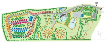
Colour-coded touring roads, circular glamping groups and landscaped activity grounds at Love2Stay Shrewsbury.
 Explore the map ↗
United Kingdom
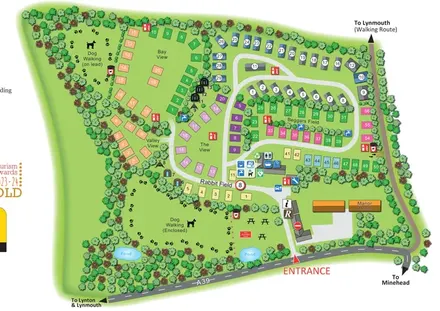
A tree-lined mixed-accommodation park map with named pitch areas, two dog-walking spaces and a route towards Lynmouth.
 Explore the map ↗
United Kingdom
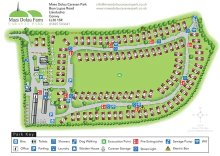
Tree-framed caravan-park plan with numbered plots, a central green and a detailed facility key.
 Explore the map ↗
United Kingdom
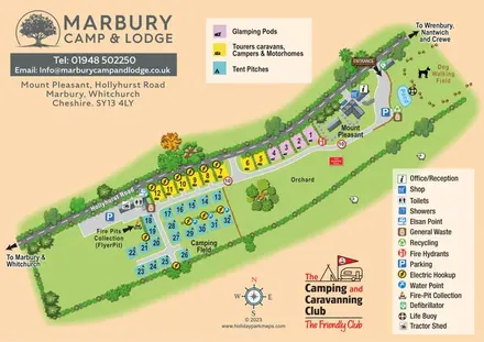
Colour-coded camping, touring and glamping map with an orchard, pond and dog-walking field.
 Explore the map ↗
United Kingdom
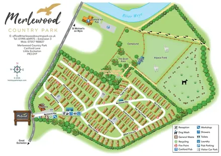
Numbered holiday homes, tree-named roads and alpaca fields beside the River Wyre.
 Explore the map ↗
United Kingdom
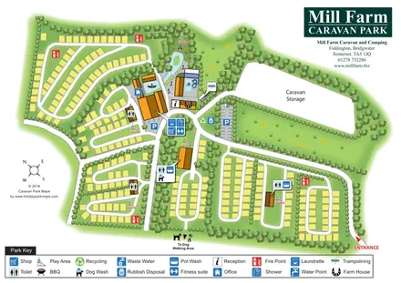
Tree-divided pitch loops, central leisure facilities and caravan storage at Mill Farm, Somerset.
 Explore the map ↗
United Kingdom
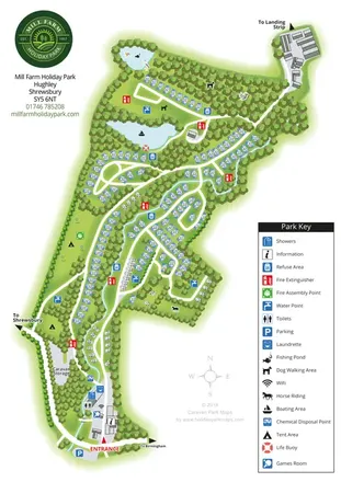
A wooded Shropshire park mapped with curved caravan rows, tent areas, ponds and a winding watercourse.
 Explore the map ↗
United Kingdom
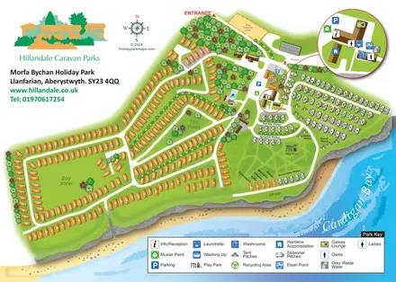
Coastal park plan with mixed accommodation, bird-themed pitch areas and an enlarged facilities inset.
 Explore the map ↗
United Kingdom
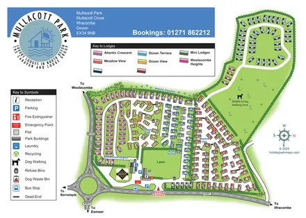
Colour-coded lodge neighbourhoods, a central lawn and an extended dog-walking zone at Mullacott Park, North Devon.
 Explore the map ↗
United Kingdom
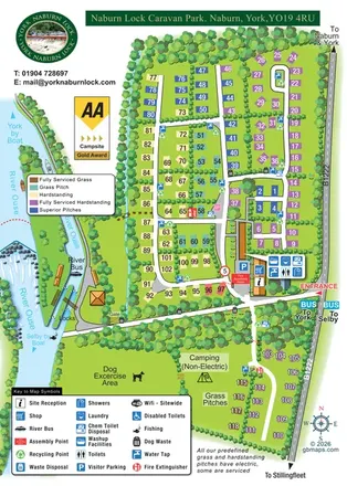
Colour-coded touring pitches, riverside locks and transport links at Naburn Lock Caravan Park.
 Explore the map ↗
United Kingdom
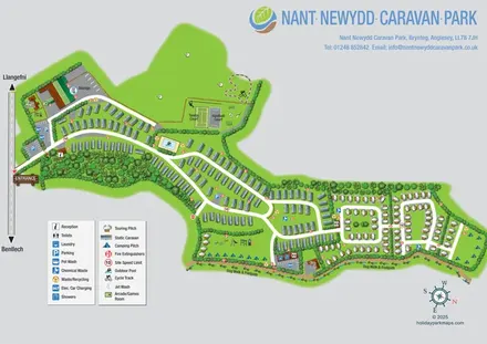
Illustrated Anglesey park map with static caravans, touring loops, camping, sports courts and a perimeter dog walk.
 Explore the map ↗
United Kingdom
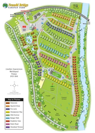
A colour-coded riverside caravan park plan with nine neighbourhoods and illustrated recreation areas.
 Explore the map ↗
United Kingdom
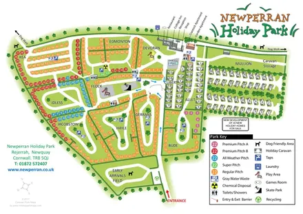
Colour-coded pitches, tree-lined caravan rows and a boundary dog walk at Newperran Holiday Park.
 Explore the map ↗
United Kingdom
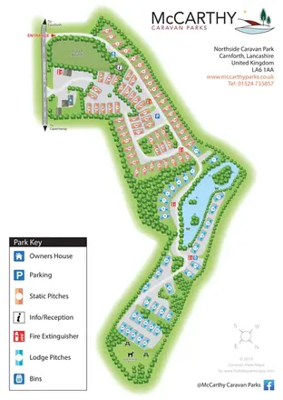
Portrait park map with colour-coded static and lodge pitches, a lake-side road loop and a large illustrated key.
 Explore the map ↗
United Kingdom
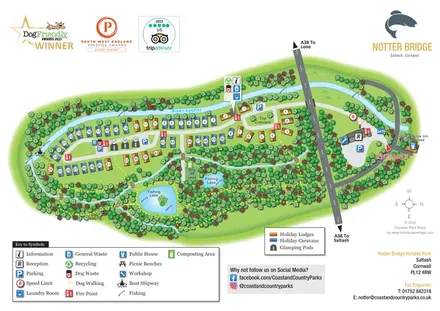
Illustrated riverside park map with colour-coded accommodation, fishing lakes and woodland dog-walking routes.
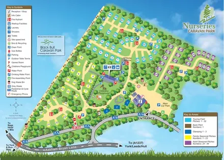 Explore the map ↗
United Kingdom
Colour-coded touring, seasonal and glamping areas with a pawprint dog walk and clearly marked arrival routes.
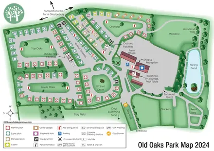 Explore the map ↗
United Kingdom
Colour-coded touring and glamping map with hedge-lined pitch groups, a fishing pond and detailed dog facilities.
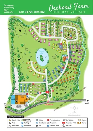 Explore the map ↗
United Kingdom
Colour-coded caravan sections, a fishing lake and tent meadow on a tree-lined Hunmanby holiday village map.
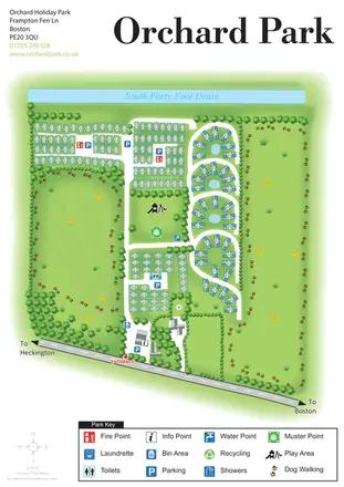 Explore the map ↗
United Kingdom
Orchard Holiday Park map with curved accommodation clusters, dog-walking lawns and a named waterside boundary.
LET’S MAP YOUR PARK
For a map quotation, find your park and draw a rough boundary around it. The area you select helps us work out the design time and price.
Draw your park for a quote ↗Or talk to our map designers
01751 473136