
 Explore the map ↗
United Kingdom
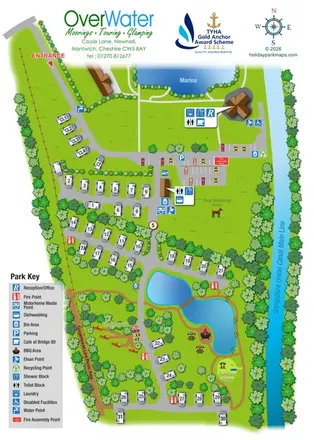
Overwater Marina
Canal-side touring and wagon glamping map with ponds, picnic paths and grouped facility callouts.
THE HOLIDAY PARK MAP COLLECTION
Browse 24 map examples, from Overwater Marina to Spring Willows Leisure Park.
← Explore the whole collectionCombine a country, landscape, facilities and accommodation type to find relevant examples.
Showing 73–96 of 117 · Select a map to read its story
Explore the map ↗United Kingdom
Canal-side touring and wagon glamping map with ponds, picnic paths and grouped facility callouts.
 Explore the map ↗
United Kingdom
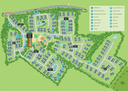
Oyster Bay illustrated park plan with named holiday-home sections, a central leisure hub and dog walking access.
 Explore the map ↗
United Kingdom
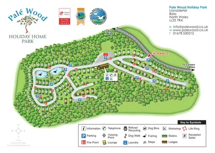
Woodland holiday home map with colour-coded statics and lodges, fishing ponds and branching internal roads.
 Explore the map ↗
United Kingdom
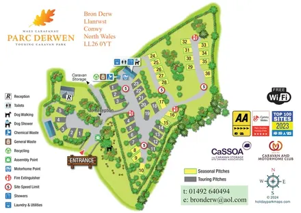
Parc Derwen map with colour-coded pitches, grouped amenity symbols and a paw-print dog-walking area.
 Explore the map ↗
United Kingdom
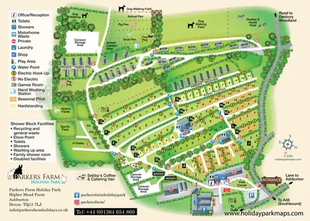
A farm-themed Devon holiday-park map with lettered pitch rows, caravan lanes, animal fields and detailed visitor facilities.
 Explore the map ↗
United Kingdom
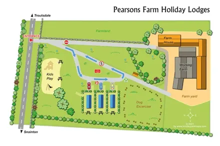
A compact farm-based lodge map with arrowed access, play space and a paw-print dog exercise area.
 Explore the map ↗
United Kingdom
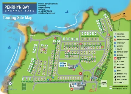
Coastal touring-site map with colour-coded seasonal pitches, facility callouts, a slipway and beach access.
 Explore the map ↗
United Kingdom
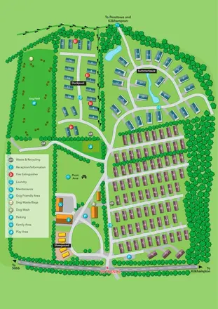
Portrait park plan with colour-coded accommodation, a landscaped Summerleaze loop and a prominent dog field.
 Explore the map ↗
United Kingdom
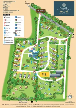
Illustrated touring, camping and glamping map with landscaped pitch groups, a central amenity hub and separate entrance and exit.
 Explore the map ↗
United Kingdom
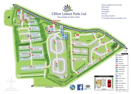
Whole-park and touring-area maps with named lanes, grouped facility callouts and dog-walking routes.
 Explore the map ↗
United Kingdom
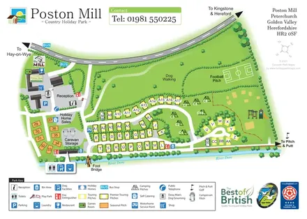
Riverside touring-park map with colour-coded pitches, dog-walking grounds and illustrated visitor facilities.
 Explore the map ↗
United Kingdom
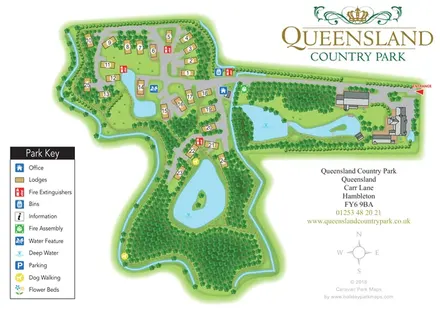
A landscape-led lodge park map with numbered plots, woodland walks, island ponds and prominent green-and-gold branding.
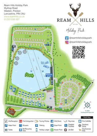 Explore the map ↗
United Kingdom
Lake-centred park map with touring areas, lodges, geodesic domes and illustrated watersports.
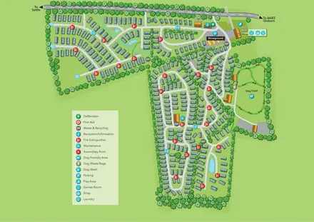 Explore the map ↗
United Kingdom
Tree-lined holiday-home park map with a showground, owners’ lounge and paw-print dog field.
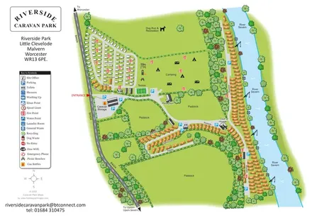 Explore the map ↗
United Kingdom
Illustrated riverside park plan with seasonal caravans, camping, paddocks and a long River Severn frontage.
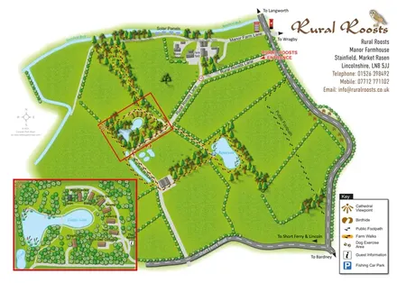 Explore the map ↗
United Kingdom
Rural Roosts farm overview with lakeside lodge inset, walking routes and countryside visitor features.
 Explore the map ↗
United Kingdom
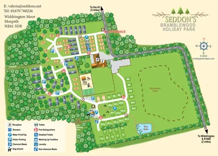
Woodland holiday-park map with numbered accommodation, a recreation field, play facilities and an Eco Area.
 Explore the map ↗
United Kingdom
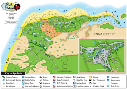
Coastal campsite map with named camping fields, harbour facilities and an enlarged arrival-hub inset.
 Explore the map ↗
United Kingdom
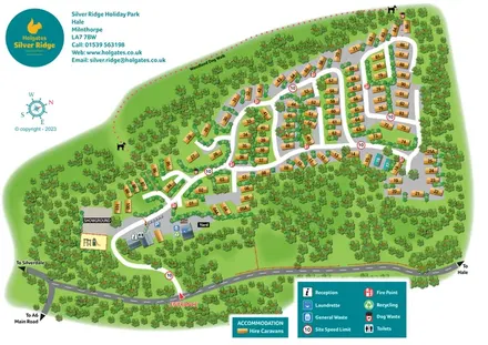
A woodland holiday-park plan with numbered caravans, a pink dotted dog walk and teal Holgates branding.
 Explore the map ↗
United Kingdom
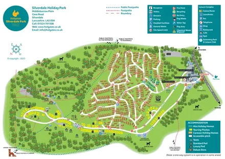
Colour-coded accommodation, woodland walks and an entrance-side leisure hub at Silverdale Holiday Park.
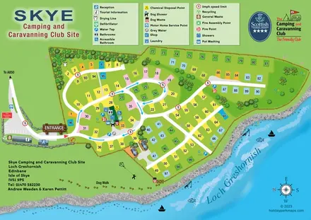 Explore the map ↗
United Kingdom
Lochside campsite map with numbered pitches, two pods and a paw-print dog walk.
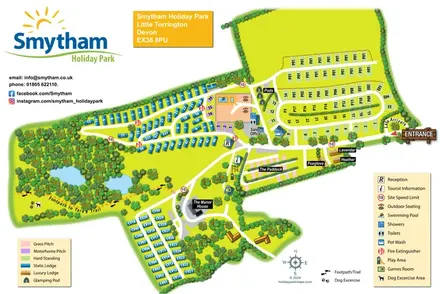 Explore the map ↗
United Kingdom
Colour-coded accommodation, woodland ponds and a Tarka Trail footpath on Smytham’s illustrated park map.
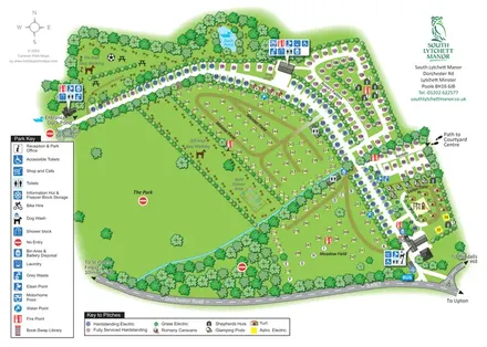 Explore the map ↗
United Kingdom
Tree-framed touring and glamping map with colour-coded pitches, named fields and separate dog-walking areas.
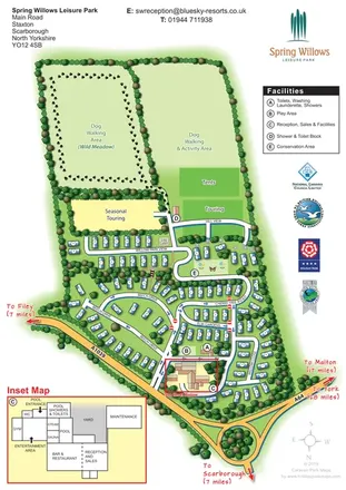 Explore the map ↗
United Kingdom
Tree-lined holiday-home streets, open touring fields and a detailed leisure-complex inset at Spring Willows.
LET’S MAP YOUR PARK
For a map quotation, find your park and draw a rough boundary around it. The area you select helps us work out the design time and price.
Draw your park for a quote ↗Or talk to our map designers
01751 473136