
 Explore the map ↗
United Kingdom
Adgestone Campsite
Colour-coded campsite map with riverside pitches, bell tents, a swimming pool and fishing lake.
THE HOLIDAY PARK MAP COLLECTION
Browse map examples with fishing facilities or fishing waters recorded in the collected information.
← Explore the whole collectionCombine a country, landscape, facilities and accommodation type to find relevant examples.
Showing 1–24 of 98 · Select a map to read its story
Explore the map ↗United Kingdom
Colour-coded campsite map with riverside pitches, bell tents, a swimming pool and fishing lake.
 Explore the map ↗
United Kingdom
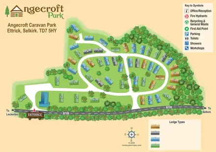
Tree-framed Angecroft Park map with colour-coded roofs, looping roads and a signed B709 entrance.
 Explore the map ↗
United Kingdom
Ashby Park map with seven fishing lakes, colour-coded accommodation and illustrated wooded shorelines.
 Explore the map ↗
United Kingdom
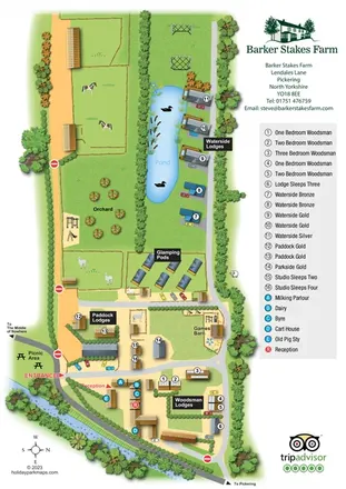
Portrait farm-stay map with pond-side lodges, glamping pods, orchard and illustrated animal paddocks.
 Explore the map ↗
United Kingdom
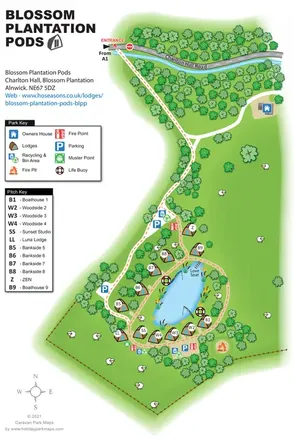
Illustrated lakeside pod map with woodland arrival routes, named lodges and a waterside circuit.
 Explore the map ↗
United Kingdom
Woodland park map with mixed pitches, bell tents, lodges and a fishing lake.
 Explore the map ↗
United Kingdom
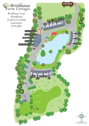
Lake-centred cottage retreat map with named roof terraces, bold pointer labels, hydrotherapy and sensory facilities, and a southern recreation lawn.
 Explore the map ↗
United Kingdom
Illustrated lakeside park plan with numbered holiday units, leisure buildings and a looping Woodland Walk.
 Explore the map ↗
Australia
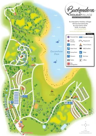
A landscape-led map of Buckenderra Holiday Village, with colour-coded accommodation, lakeside roads and illustrated recreation facilities.
 Explore the map ↗
United Kingdom
Colour-coded accommodation, central leisure facilities and coastal paths on an illustrated headland park map.
 Explore the map ↗
United Kingdom
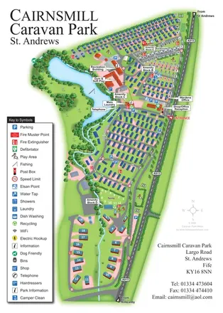
Portrait park map combining numbered caravan rows, touring and tent areas with a reservoir-side recreation hub.
 Explore the map ↗
United Kingdom
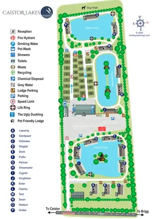
A lake-led park map combining named lodges, touring pitches and shared facilities at Caistor Lakes.
 Explore the map ↗
France
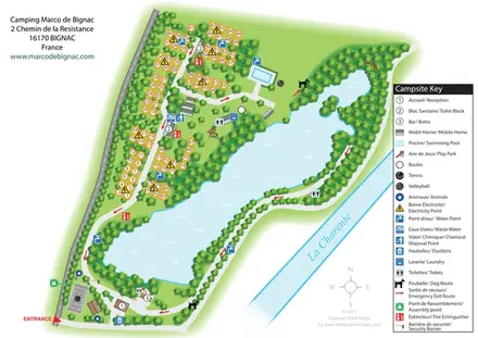
Bilingual lakeside campsite map with numbered pitches, recreation areas and colour-coded service points.
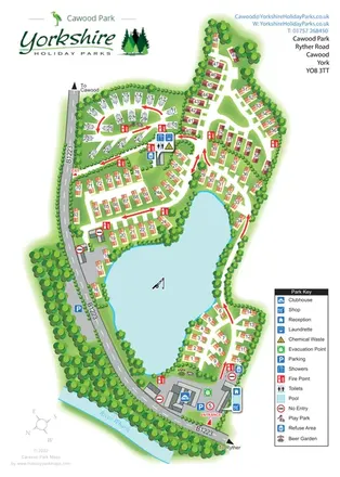 Explore the map ↗
United Kingdom
A lake-centred Cawood Park map with touring pitches, tree-lined holiday homes and clear entrance facilities.
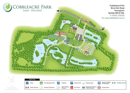 Explore the map ↗
United Kingdom
Lake-led park map with five named fishing waters, mixed accommodation and colour-coded visitor facilities.
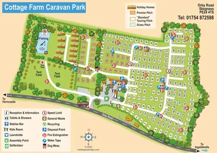 Explore the map ↗
United Kingdom
Illustrated touring and camping park map with numbered pitches, a fishing pond and a central farm courtyard.
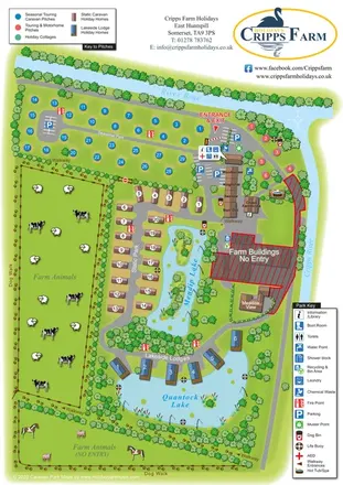 Explore the map ↗
United Kingdom
Illustrated farm holiday park plan combining riverside pitches, lakeside accommodation, animal fields and paw-print walking routes, with separate accommodation and facilities keys.
 Explore the map ↗
United Kingdom
Illustrated caravan park plan with woodland and riverside walks, fishing pools and wildlife panels.
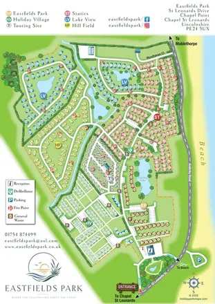 Explore the map ↗
United Kingdom
Six colour-coded neighbourhoods, lakeside layouts and coastal access on the Eastfields Park map.
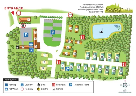 Explore the map ↗
United Kingdom
Tree-lined Epworth Fields map with numbered accommodation, clear access roads and a fishing pond.
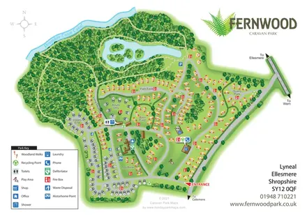 Explore the map ↗
United Kingdom
Fernwood's illustrated park plan combines numbered accommodation, woodland walks, a canal-side setting and an island-dotted lake.
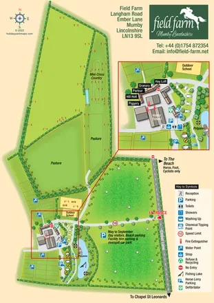 Explore the map ↗
United Kingdom
An illustrated equestrian holiday-farm map with riding facilities, paddocks, a fishing lake and an enlarged accommodation hub.
 Explore the map ↗
United Kingdom
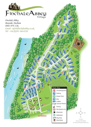
Finchale Abbey park map with numbered lodges, touring areas, River Wear frontage and village allotments.
 Explore the map ↗
United States
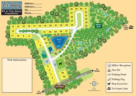
Numbered community plots, a fishing pond and creek-lined nature area at Fox Valley, Alabama.
LET’S MAP YOUR PARK
For a map quotation, find your park and draw a rough boundary around it. The area you select helps us work out the design time and price.
Draw your park for a quote ↗Or talk to our map designers
01751 473136